The best gravel rides around Saint-Vaury
21
riders
6
rides
Gravel biking around Saint-Vaury offers diverse landscapes across the Creuse department, characterized by a mix of prairies, woodlands, and undulating hills. The terrain ranges in elevation from 387 to 634 meters, providing varied gradients suitable for gravel cycling. This region features both paved and unpaved sections, including forest paths and country roads, which are ideal for gravel bikes. The area's natural features, such as the Puy des Trois Cornes and Les Pierres Civieres, contribute to scenic routes.
Best gravel bike…
Last updated: July 4, 2026
4
riders
22.4km
01:42
330m
330m
Moderate gravel ride. Good fitness required. Mostly paved surfaces. Suitable for all skill levels.
3
riders
30.8km
02:03
480m
480m
Hard gravel ride. Very good fitness required. Mostly paved surfaces. Suitable for all skill levels.

Sign up for free
3
riders
54.5km
03:33
770m
770m
Hard gravel ride. Very good fitness required. Mostly paved surfaces. Suitable for all skill levels.
3
riders
36.1km
03:02
720m
720m
Hard gravel ride. Very good fitness required. Mostly paved surfaces. Suitable for all skill levels.
2
riders
29.5km
02:02
400m
400m
Moderate gravel ride. Good fitness required. Mostly paved surfaces. Suitable for all skill levels.
Our route recommendations are based on thousands of hikes, rides, and runs completed by other people on komoot.
Start today with a free account
Your next adventure awaits.
Login or Signup
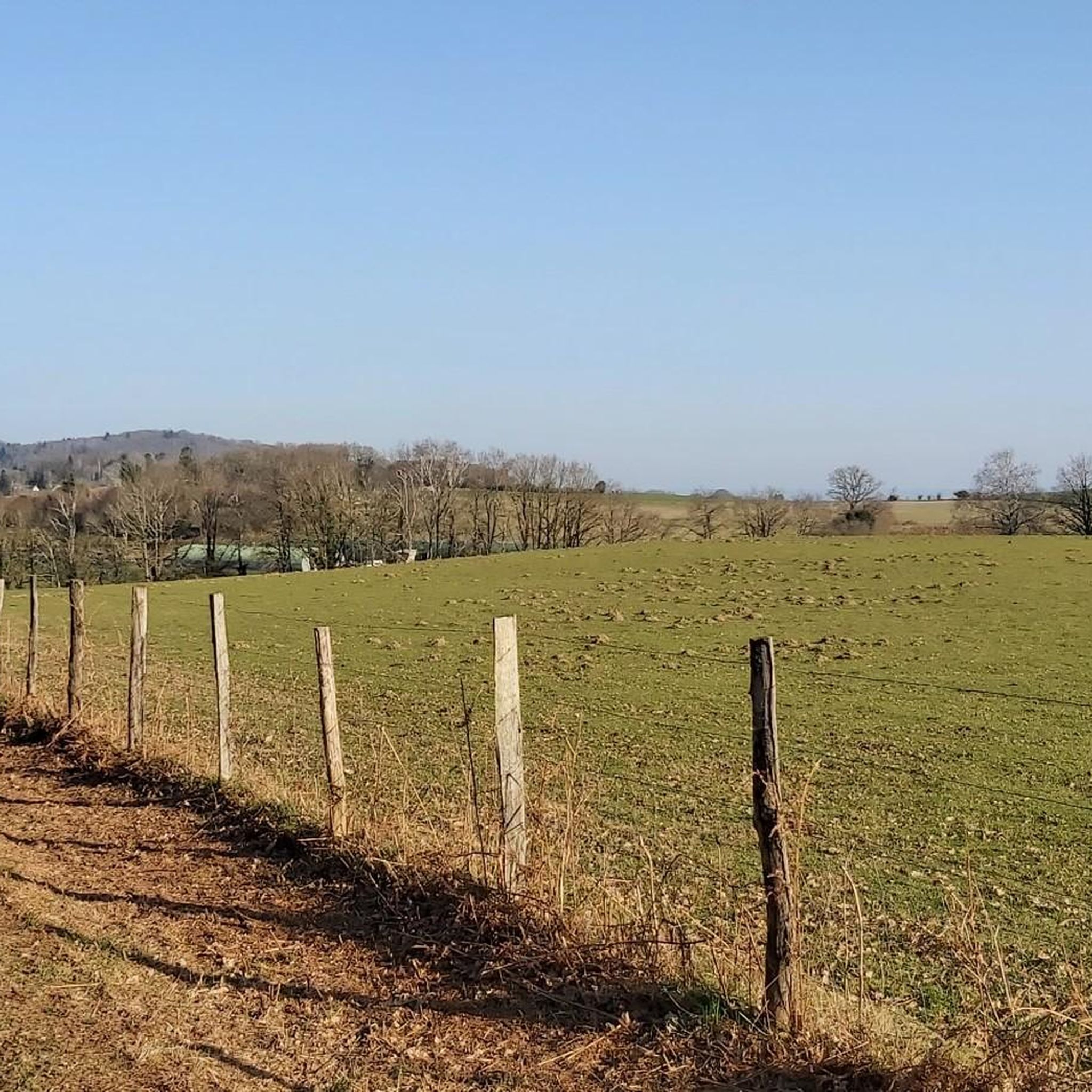


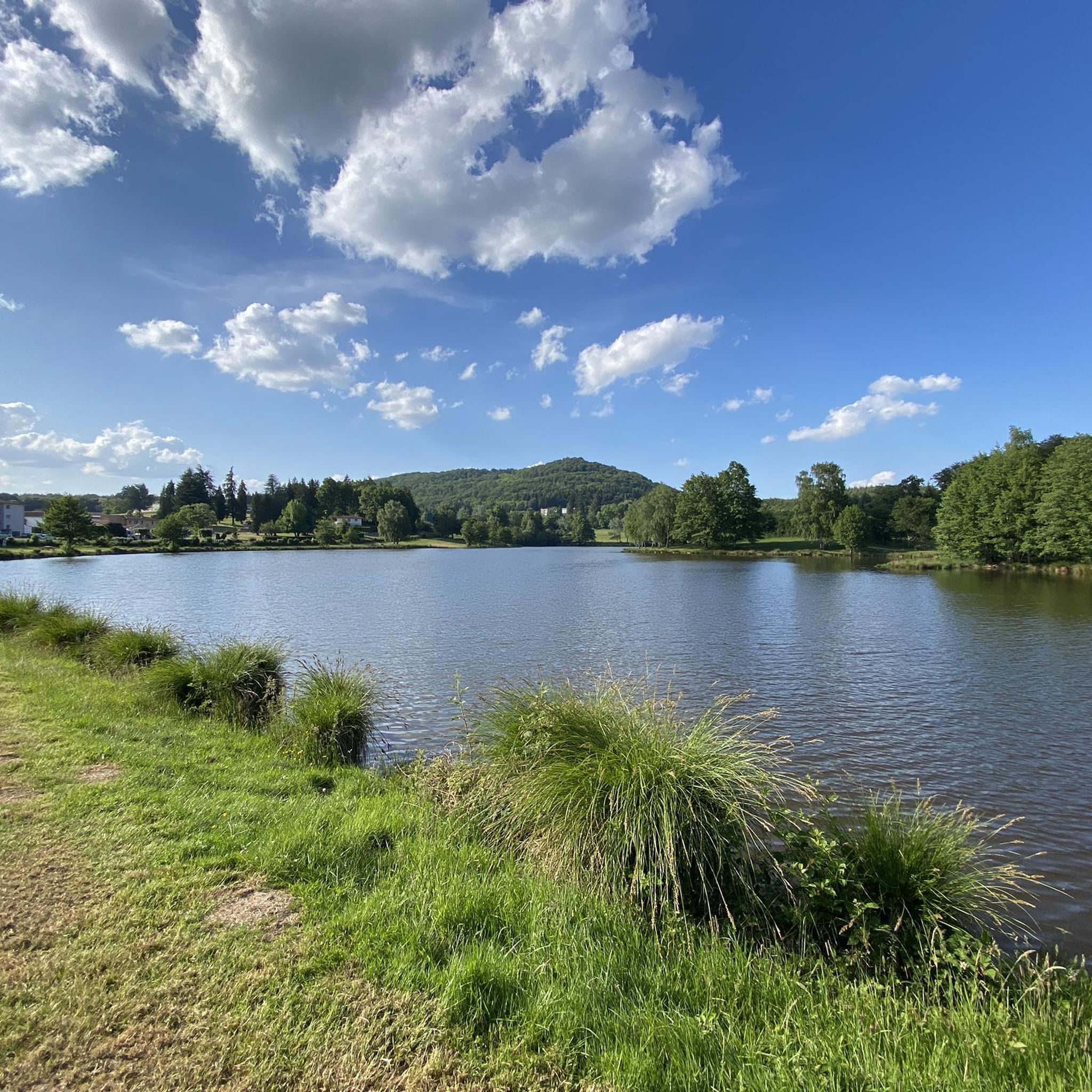
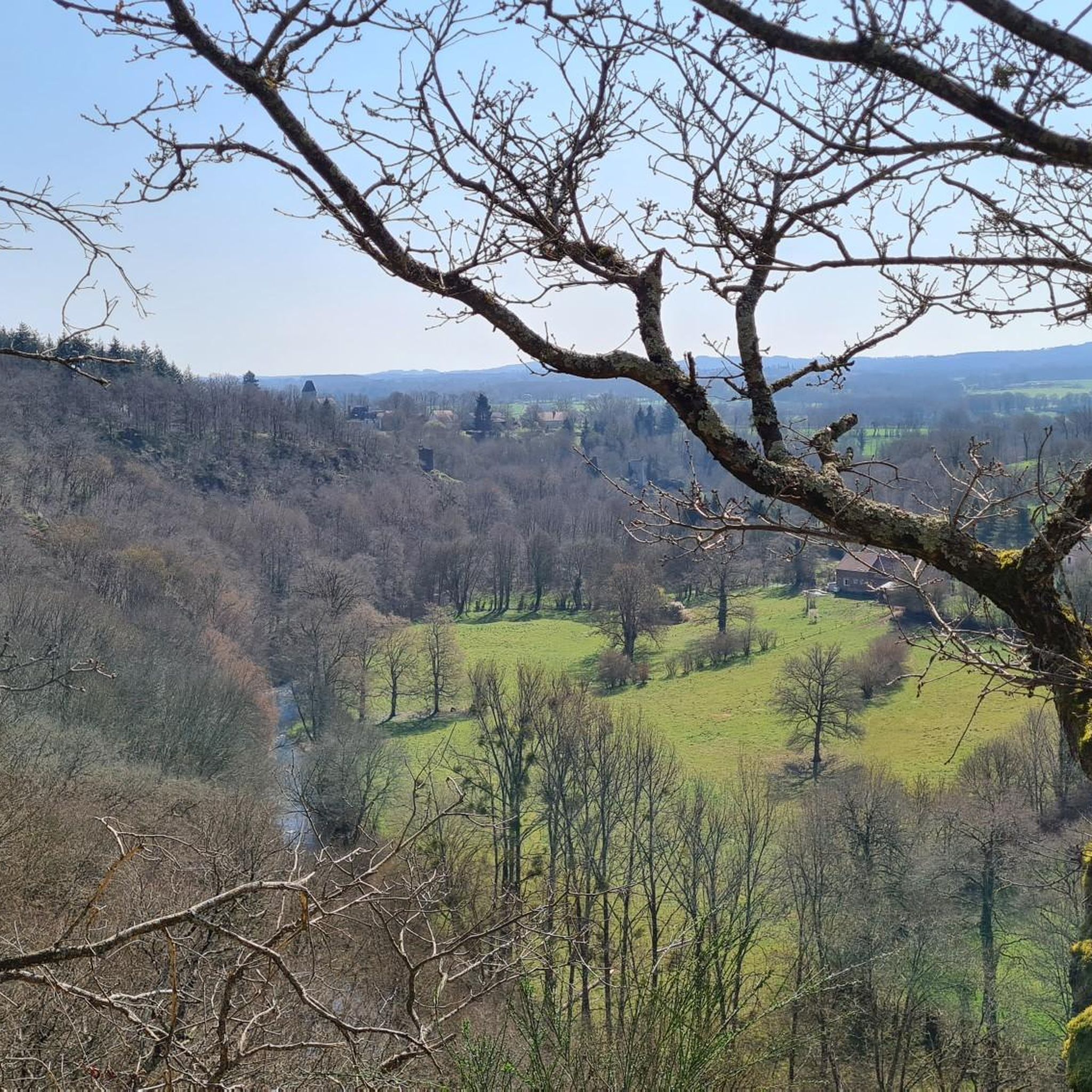
Tips from the Community

First aid station, water point, restaurant
0
0

Guéret, Puy de Gaudy, Creuse Valley...
0
0


Benevent- the abbey is a pretty and dynamic little town in Creuse… passage compostelle: see the tourist office 😅… or m. The Mayor, inexhaustible about his city 👍 Brevent? Not know…
2
0

It is a granite chaos. It takes its name from the shape of these large stones. They would have served as a refuge for peasants who wanted to escape the Russian countryside under Napoleon. On site, an orientation table gives you information to appreciate the panorama. Access via the coniferous forest also offers a splendid setting.
0
0
Frequently Asked Questions
How many gravel bike trails are available around Saint-Vaury?
There are 5 gravel bike trails available around Saint-Vaury, offering a mix of moderate and difficult routes for gravel biking enthusiasts.
Are there any easy gravel bike routes for beginners in Saint-Vaury?
While there are no routes specifically classified as 'easy', you can find one moderate route: the Bénévent-l'Abbaye – Menhir loop from Bénévent-l'Abbaye. This 22.5 km trail has an elevation gain of around 328 meters, making it a good option for those looking for a less strenuous ride.
What kind of landscapes can I expect on gravel bike trails in Saint-Vaury?
Gravel biking around Saint-Vaury offers diverse landscapes across the Creuse department, characterized by a scenic blend of prairies, woodlands, and undulating hills. You'll encounter both paved and unpaved sections, including forest paths and country roads, with terrain ranging from 387 to 634 meters in elevation.
Are there any challenging gravel bike routes for experienced riders?
Yes, Saint-Vaury offers several challenging routes. For experienced riders, the View of Le Maupuy – Maupuy TDF transmitter loop from Guéret is a difficult 54.4 km trail with significant elevation gains. Another demanding option is the View from Puy de Chiroux – Maupuy TDF transmitter loop from Monts de Guéret, a 36.9 km path traversing varied terrain with challenging climbs and descents.
What are some notable natural features or landmarks I can see along the trails?
The region is rich in natural beauty. You can visit the impressive granite formations of Les Pierres Civieres, or find a peaceful retreat at the Mouline waterfall. The Courtille Pond is also a pleasant spot, encircled by a pedestrian path suitable for a casual ride or walk.
Are there any routes that pass by lakes or ponds?
Yes, several routes offer views of local water bodies. The Bénévent-l'Abbaye – Étang de la Toueille loop from Bénévent-l'Abbaye leads through woodlands and past natural water features, including Étang de la Toueille. The Courtille Pond near Guéret is also a notable spot.
What do other gravel bikers enjoy the most about gravel biking in Saint-Vaury?
The area is highly rated by the komoot community, with an average score of 5.0 stars from more than 10 reviews. Gravel bikers often praise the varied terrain, which includes a mix of challenging climbs and scenic descents through prairies, woodlands, and undulating hills. Over 20 gravel bikers have used komoot to explore Saint-Vaury's diverse routes.
Are there any circular gravel bike routes in the area?
Yes, all the gravel bike routes listed for Saint-Vaury are circular loops. Examples include the La Celle-Dunoise – Pont du Diable loop from Anzême and the Bénévent-l'Abbaye – Étang de la Toueille loop from Bénévent-l'Abbaye, offering convenient starting and ending points.
What is the best time of year for gravel biking in Saint-Vaury?
The varied topography and natural features of Saint-Vaury make it suitable for gravel biking across multiple seasons. Spring and autumn generally offer pleasant temperatures and vibrant scenery, while summer can be great for longer days. It's always advisable to check local weather conditions before heading out.
Are there any viewpoints along the gravel bike routes?
Yes, the region is known for its panoramic views. The Puy des Trois Cornes is a prominent natural site offering expansive vistas across the Berry region, the Limousin Mountains, and the Auvergne Mountains, with the Puy de Dôme visible on clear days. Routes like the View of Le Maupuy – Maupuy TDF transmitter loop from Guéret are specifically named for their scenic outlooks.
Is Saint-Vaury suitable for family-friendly cycling activities?
While the gravel bike routes are generally moderate to difficult, the area offers other options for family-friendly cycling. The Courtille Pond, for instance, has a three-kilometer pedestrian path that is suitable for casual cycling and walking, providing a gentler option for families.
Most popular routes around Saint-Vaury
Most popular attractions around Saint-Vaury

Get inspired with the komoot mobile app


Explore more
Browse the best Gravel rides in other regions.
