The best gravel rides around Rainvillers
21
riders
5
rides
Gravel biking around Rainvillers offers access to the diverse landscapes of the Oise-Pays de France Regional Natural Park. The region is characterized by vast forests, rolling valleys, and expansive plains, providing varied terrain for gravel cyclists. Paths often include unpaved forest roads and country lanes, suitable for exploring the natural environment. The Oise department features a mix of flat sections and gentle ascents, making it conducive to different gravel riding experiences.
Best gravel bike trails around Rainvillers
- The most popular…
Last updated: July 4, 2026
3
riders
65.3km
04:55
330m
330m
Moderate gravel ride. Good fitness required. Mostly paved surfaces. Suitable for all skill levels.
70.2km
05:44
520m
480m
Hard gravel ride. Very good fitness required. Mostly paved surfaces. Suitable for all skill levels.

Sign up for free
7
riders
34.3km
02:25
270m
270m
Moderate gravel ride. Good fitness required. Mostly paved surfaces. Suitable for all skill levels.
5
riders
18.1km
01:07
90m
90m
Easy gravel ride. Great for any fitness level. Mostly paved surfaces. Suitable for all skill levels.
1
riders
31.4km
02:22
270m
270m
Moderate gravel ride. Good fitness required. Mostly paved surfaces. Suitable for all skill levels.
Our route recommendations are based on thousands of hikes, rides, and runs completed by other people on komoot.
Start today with a free account
Your next adventure awaits.
Login or Signup

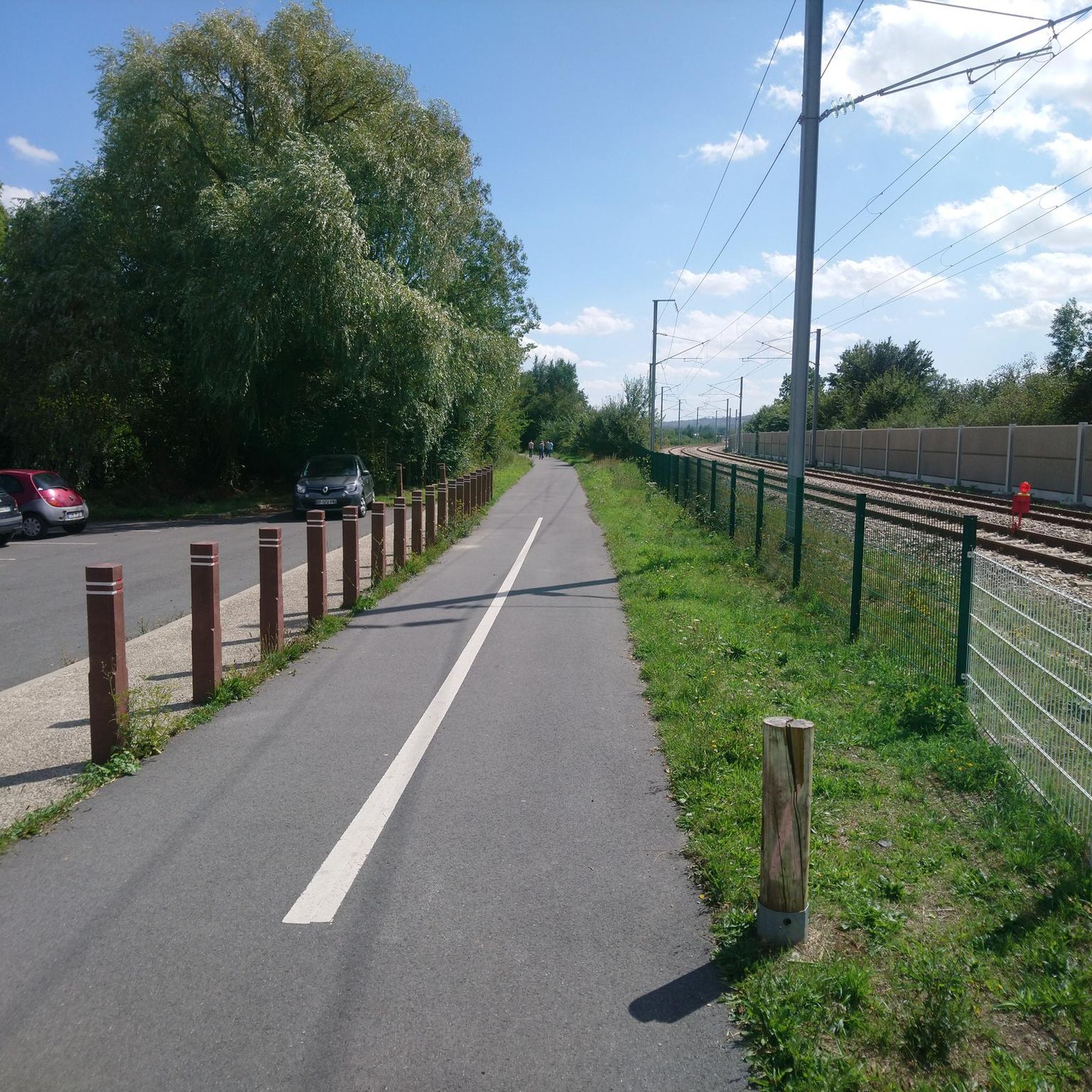
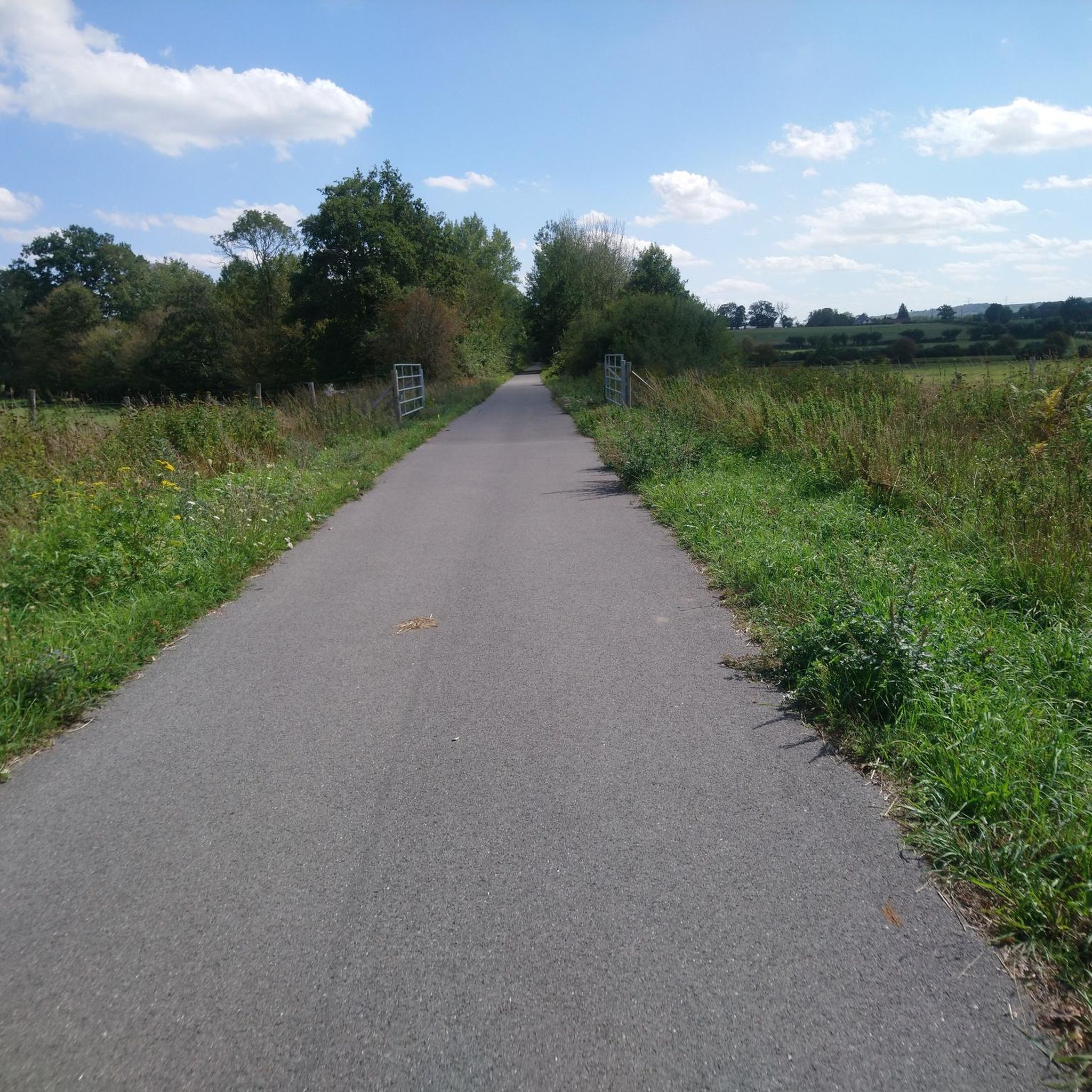

Tips from the Community

The Beauvaisis Steam Train is a tourist railway created by the Museum of Steam Trams and French Secondary Railways (MTVS). It began operating in 2017 from Crèvecœur-le-Grand and runs along part of the old line from Saint-Omer-en-Chaussée to Vers, which is now approximately four kilometers long. Thanks to the work of volunteers, this historic train brings the era of steam trams back to life and offers a picturesque ride through the heart of the Oise countryside.
0
0
Located 2.5 kilometers south of Breteuil-sur-Noye, the ancient site of Vendeuil-Caply covers nearly 130 hectares and includes parts of the neighboring communes. Its most remarkable monument is the large Gallo-Roman theater from the 1st and 2nd centuries, now owned by the Oise Departmental Council. Nearby is the Oise Archaeological Museum, inaugurated in 2011.
0
0
Built in the 15th and 16th centuries, Troissereux Castle captivates with its unique architecture. It houses the "Tour du Temps," topped with an ancient medieval clock, a listed historical monument. It is surrounded by a landscaped park of more than ten hectares, also listed.
0
0

A wall now traces its original layout onto the ground, offering visitors a glimpse into its religious and architectural past.
1
0
The pretty fountain brings wonderful cooling to the busy square on hot days! ⛲️
4
0

Leaving Beauvais to the northwest, along the road and then the cycle path of the Saint-Quentin marsh, you quickly arrive at the superb lake of Canada. It offers three kilometers of banks and is ideal for swimming in summer.
0
0
Leaving Beauvais to the northwest, the street and then the cycle path of the Saint-Quentin marsh, you quickly arrive at the superb body of water of Canada. It offers three kilometers of banks and a call for swimming in summer.
0
0

Located in the city center, this building dates back to the 15th century. A former medieval fortress, it was largely rebuilt during the Renaissance. The castle is famous for having hosted Francis I and Louis XIV for a night on July 15, 1680, in the north tower.
0
0
Frequently Asked Questions
How many gravel bike trails are available around Rainvillers?
There are 5 highly-rated gravel bike trails around Rainvillers, offering a mix of easy, moderate, and difficult options to suit various skill levels.
Are there gravel bike trails suitable for beginners or families in the Rainvillers area?
Yes, the region offers trails suitable for beginners and families. The general terrain around Rainvillers features gentle elevation changes, making it accessible. An easy option is the Plan d'eau du Canada – Plan d'Eau du Canada loop from Troissereux, which is 11.3 miles (18.1 km) long and takes about 1 hour 7 minutes to complete.
What are some more challenging gravel routes near Rainvillers?
For experienced gravel bikers seeking a challenge, the Beauvais to Breteuil-Embranchement – Tour de l'Oise gravel is a difficult 43.6 miles (70.2 km) path with significant elevation gain, typically taking around 5 hours 44 minutes. Another moderate option is the Beauvais to the Memory Cycle Route via the Plateau Picard, covering 40.6 miles (65.3 km) in about 4 hours 55 minutes.
Are there any circular gravel bike routes around Rainvillers?
Yes, several routes offer a loop experience. The Beauvais Cathedral – Plan d'Eau du Canada loop from Beauvais is a popular 21.9 miles (35.2 km) trail that takes about 3 hours 2 minutes. Another option is the Croquet Tunnel 🚂 loop from Labosse, which is 19.5 miles (31.4 km) long.
What kind of terrain can I expect on gravel bike trails in the Oise department?
The Oise department, where Rainvillers is located, offers diverse terrain. You can expect a mix of unpaved forest roads, country lanes, and paths through rolling valleys and expansive plains. The region's natural features include several forests like Forêt du Parc de Saint-Quentin and Forêt de Hez-Froidmont, providing varied surfaces for gravel cycling.
Are there any natural features or landmarks to see along the gravel routes?
While Rainvillers itself is small, the surrounding Oise department is rich in natural beauty and historical sites. You might encounter areas like the Plan d'eau du Canada, and the routes often traverse forests. For historical landmarks, the magnificent Beauvais Cathedral is a prominent feature in the nearby city of Beauvais, which serves as a starting point for several routes.
Is it possible to bring my dog on gravel bike trails in this region?
Many natural areas and forest paths in the Oise department are generally dog-friendly, especially if your dog is well-behaved and kept under control. However, it's always advisable to check local regulations for specific nature reserves or protected areas you might pass through to ensure dogs are permitted.
What is the best time of year for gravel biking around Rainvillers?
The Oise department generally offers pleasant conditions for gravel biking during spring, summer, and early autumn. These seasons typically provide milder weather and drier trails. Winter riding is possible, but trails might be muddier, and weather conditions can be more challenging.
Are there options for parking near the gravel bike trails?
While specific parking details for every trailhead are not provided, starting points for many routes, such as Beauvais, typically offer public parking facilities. For routes beginning in smaller communes, roadside parking or designated village parking areas are often available. It's recommended to check the specific route details on komoot for more precise parking information.
Can I access the gravel biking areas using public transport?
Beauvais, a major city near Rainvillers and a common starting point for many routes, is well-connected by public transport, including train services. From Beauvais, you might be able to reach smaller starting points via local bus services, though direct access to all trailheads might require a car. For detailed public transport information, it's best to consult local transport authorities.
Are there any cafes or pubs along the gravel bike routes for a stop?
Many routes pass through or near small towns and villages where you can often find local cafes, bakeries, or pubs for refreshments. Larger towns like Beauvais offer a wider selection of dining options. Planning your route with komoot allows you to identify potential stops along the way.
Most popular routes around Rainvillers
Most popular attractions around Rainvillers

Get inspired with the komoot mobile app


Explore more
Browse the best Gravel rides in other regions.
