The best MTB trails around Sauvagnat
4.8
(3)
21
riders
4
rides
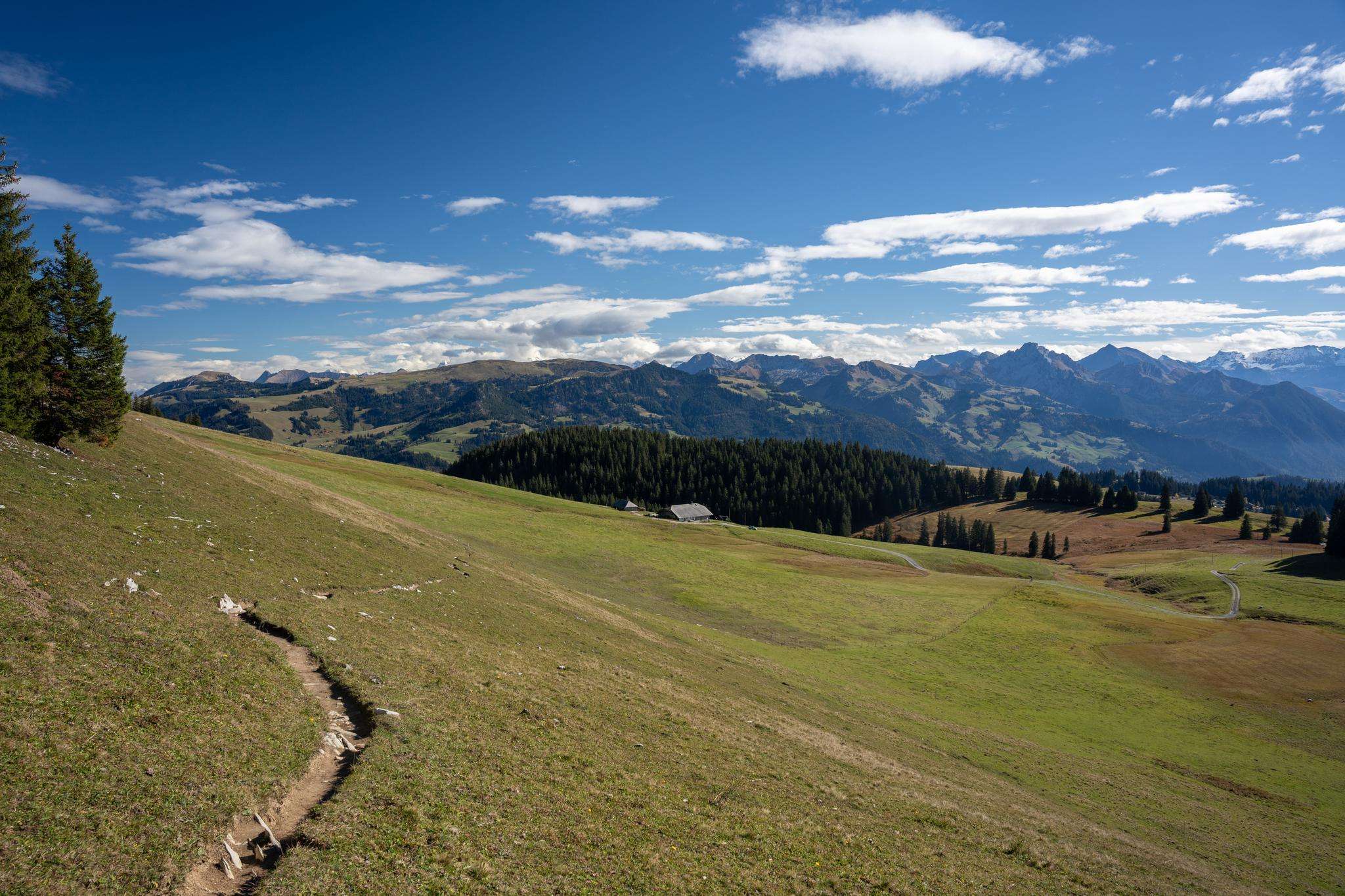
Mountain bike trails around Sauvagnat are characterized by a landscape of rolling hills, dense forests, and numerous lakes. The region, situated in the Auvergne, offers varied terrain suitable for mountain biking, including paths through wooded areas and around natural water bodies. This topography provides a mix of moderate and challenging routes for different skill levels.
Best mountain bike trails around Sauvagnat
- The most popular mountain bike trail is Étang Gasserot loop from Condat-en-Combraille, a 25.8 miles (41.5 km) trail…
Last updated: July 4, 2026
4.5
(2)
10
riders
41.5km
03:32
560m
560m
Hard mountain bike ride. Good fitness required. Advanced riding skills necessary. Some portions of the route may require you to push your bike.
4
riders
50.6km
04:16
890m
890m
Moderate mountain bike ride. Good fitness required. Advanced riding skills necessary.

Sign up for free
3
riders
14.0km
01:03
180m
180m
Easy mountain bike ride. Great for any fitness level. Suitable for all skill levels.
2
riders
54.1km
04:48
1,080m
1,080m
Hard mountain bike ride. Very good fitness required. Advanced riding skills necessary. Some portions of the route may require you to push your bike.
5.0
(1)
2
riders
32.5km
02:33
390m
390m
Moderate mountain bike ride. Good fitness required. Suitable for all skill levels.
Our route recommendations are based on thousands of hikes, rides, and runs completed by other people on komoot.
Start today with a free account
Your next adventure awaits.
Login or Signup




Frequently Asked Questions
How many mountain bike trails are available around Sauvagnat?
There are several mountain bike routes around Sauvagnat, offering a variety of experiences for different skill levels. You can find a selection of routes ranging from easy to difficult.
Are there any easy mountain bike trails suitable for beginners or families in Sauvagnat?
Yes, for an easier ride, consider the Étang Mabrut loop from Soulier. This 14 km route has a modest elevation gain of 185 meters, making it a great option for those looking for a less strenuous outing.
What are some challenging mountain bike routes around Sauvagnat?
For experienced riders seeking a challenge, the Étang de Jume loop from Gelles is a demanding option, covering over 54 km with more than 1000 meters of elevation gain. Another difficult route is the Étang Gasserot loop from Condat-en-Combraille, which is 41.5 km long with 565 meters of ascent.
Are the mountain bike trails around Sauvagnat circular?
Yes, all the mountain bike routes listed for Sauvagnat are circular loops, meaning you will finish your ride at your starting point. This makes planning your trip and parking much simpler.
What is the best time of year for mountain biking in Sauvagnat?
The best time for mountain biking in the Auvergne region, where Sauvagnat is located, is typically from spring to autumn. During these seasons, the weather is generally mild, and the trails are in good condition. Summer offers lush landscapes, while spring and autumn provide cooler temperatures and vibrant foliage.
What kind of scenery can I expect on the mountain bike trails near Sauvagnat?
The trails around Sauvagnat traverse the beautiful landscapes of the Auvergne region. You can expect to ride through dense forests, past granitic mountains, and alongside picturesque crater lakes, offering diverse and scenic views throughout your journey.
Are there any moderate mountain bike trails in Sauvagnat?
Yes, there are several moderate trails. The Moulin de Combas loop from Herment is a good choice, stretching over 50 km with nearly 900 meters of elevation. Another moderate option is the Étang du Cros loop from Condat-en-Combraille, which is 32.5 km long with 387 meters of climbing.
What do other mountain bikers say about the trails in Sauvagnat?
The mountain biking trails around Sauvagnat are highly regarded by the komoot community, with an average rating of 4.75 stars. Riders often praise the varied terrain, the natural beauty of the Auvergne region, and the well-maintained paths.
Are there any specific natural features or landmarks to look out for on the trails?
While specific landmarks are not detailed for each route, the region is known for its volcanic landscapes, granitic mountains, and numerous crater lakes. Many routes will take you past these natural wonders, offering stunning views and unique geological formations.
What are the typical distances and elevation gains for mountain bike routes in Sauvagnat?
The routes around Sauvagnat vary significantly. Distances range from approximately 14 km for easier trails up to over 54 km for more difficult ones. Elevation gains can be as low as 185 meters for an easy ride, and exceed 1000 meters for the most challenging routes.

Get inspired with the komoot mobile app


Explore more
Browse the best MTB trails in other regions.
