The best gravel rides around Saint-Pantaléon
4.6
(9)
32
riders
13
rides
Gravel biking around Saint-Pantaléon features a landscape characterized by rolling agricultural lands, interspersed with woodlands and river valleys. The region offers a mix of unpaved roads and forest tracks, providing varied surfaces for gravel cyclists. Elevations are moderate, with routes navigating through a network of rural paths. The terrain is suitable for exploring the countryside on gravel bikes.
Best gravel bike trails around Saint-Pantaléon
- The most popular gravel bike trail is Cazelle de Trespoux – Labastide-Marnhac loop from Trespoux-Rassiels,…
Last updated: July 4, 2026
4.5
(2)
9
riders
Hard gravel ride. Very good fitness required. Mostly paved surfaces. Suitable for all skill levels.
4.5
(2)
9
riders
65.7km
04:28
770m
770m
Hard gravel ride. Very good fitness required. Mostly paved surfaces. Suitable for all skill levels.

Sign up for free
4.0
(1)
4
riders
34.7km
02:17
360m
360m
Moderate gravel ride. Good fitness required. Mostly paved surfaces. Suitable for all skill levels.
2
riders
24.0km
01:55
390m
390m
Moderate gravel ride. Good fitness required. Mostly paved surfaces. Suitable for all skill levels.
5.0
(1)
3
riders
101km
07:04
1,100m
1,090m
Hard gravel ride. Very good fitness required. Mostly paved surfaces. Suitable for all skill levels.
Get access to more routes and recommendations from other explorers.
Sign up for free
Already have an account?
Our route recommendations are based on thousands of hikes, rides, and runs completed by other people on komoot.
Start today with a free account
Your next adventure awaits.
Login or Signup

Tips from the Community

behind the church is a small meadow with a bench and shade. Good for a rest, with drinking water and trash cans
0
0

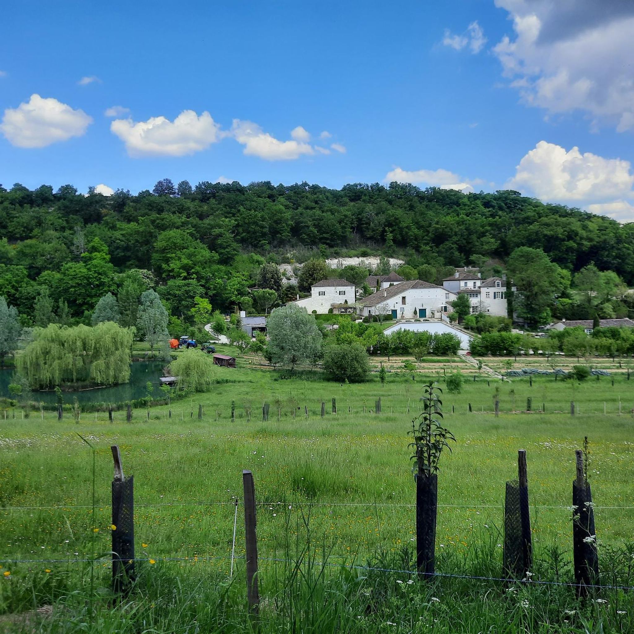
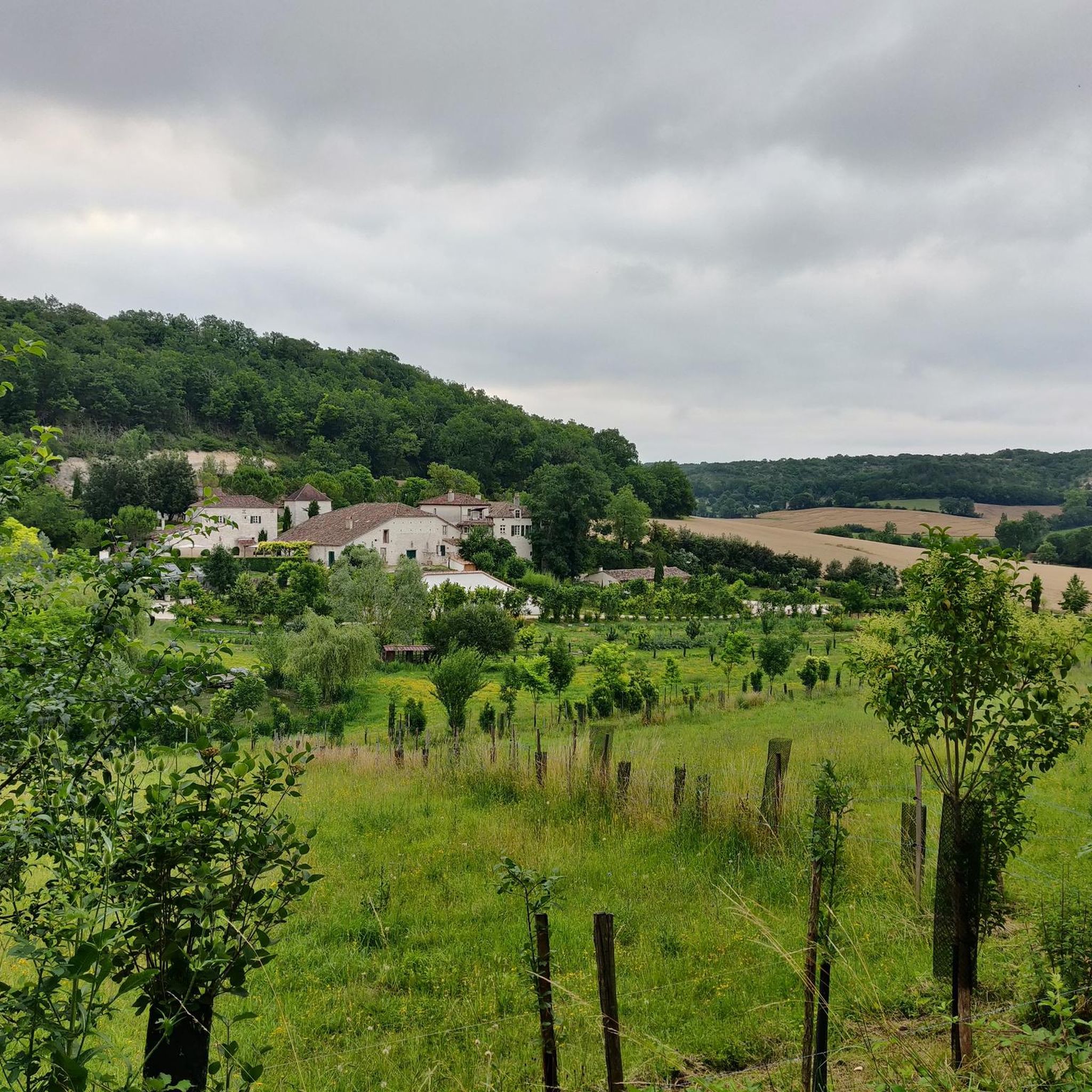
I stayed here from November 5th to 7th, 2025. It's very beautiful here, great view, beautiful lake.
0
0

There's a small shelter here to take refuge in case of heavy rain during a bike ride. There's also a picnic table and a fountain to refill your water bottles.
0
0

Beautiful church with a bench and drinking water point💦. Unfortunately the church was closed.
2
0

It is one of the oldest mills in Quercy Blanc! Destroy in the 16th century, it was rebuilt and then restored in 2018.
1
0
An old mill typical of Quercy, dating from the 17th century, which was moved stone by stone to be rebuilt identically on the Boisse hill, which was less exposed to lightning! Listed in the Inventory of Historic Monuments.
1
0

in Montcuq observe the sculptures of the St-Hilaire church, built around 1250/1270 in La COUnco (Conca in written oc, the SHELL) OUTSIDE the first ramparts (it replaced a primitive St-Sernin, located at the foot of the tower , Place del Plàn, west, therefore prior to Charlemagne) The church, said OUTSIDE the WALLS again in 1350, is marked by interior sculptures (transept, choir, apse) of the most esoteric...their hidden meanings are foreign to Christianity. ..Other old medieval houses are also rich in sculptures with secret meanings: house with the sign "Four 4", shortly after the town hall going up towards St-Hilaire, on the right, 13th century house at the bottom and on the right from the rue du Plàn, Very old names have been preserved: Pàtus (= small square) del Potz/Pouttss, Carriéro (= Rue) de l'Aste (de la Lance en oc: Asto), Carriéro Dréytsho (rue Droite) d 'others, known: quarry of the Fourns, fourn nàut é fourn batch, quarry of the Gatsharîo, quarry of the Ribiéyro de Mouncuc, Fîu Soubiràn (Sovereign Fief "or--Sup Latin eranus--- "from the top of the town"), Cantou de Quantard, Cantou de VillaBorgonh--Billobourgounn--, Plàça de la Caminada (from the Old Presbytery after 1450, below the Parish House): under the Mediatheque , Prat del Gassàyrou, Bàrri (district) of Valeta, de Rozet, Camy de Pènn..etc..), have not had the happiness of being formalized, replaced by falsely "occitanizing" names! of Montcuq of the "vanellas (banéllos), empty spaces separate the houses and wide of 75cms, two and a half feet, a distance dating from the Roman Empire! Montcuq was legendaryly founded in the year of the Millennium of Rome, a combe bears the name de Vielha Roma" (Byélyo Roumo) OLD ROME,..the house at the bottom of the Rue du Plàn seems to have been a Jewish house, even of a rabbi and descendant of the tribe of Judah...In the Tower the points of the horizon indicated by the median axes of the openings, windows and door, correspond to places loaded with myths and related to sunrises and sunsets s solar, lunar, stars, constellations, on key dates of the year and therefore of the Old Calendar of the "Old Religion", as said of the secret and mysterious depths of old Quercy, the real one, not the one Tourists, such as "More-Than-Healer" of the Pays de Montcuq..
2
0
The problem is that Montcuq is a village in the OC region and that the pronunciation of the name follows the rules of OCCITAN, and southern French, region (33 departments in the south of France...) and languages ( Occitan and southern French) where ALL the LETTERS are PRONOUNCED!!....in all the Oc countries and in Quercy in particular (White or other!) we therefore pronounce "Monkükkk" by stating very clearly the last consonant.. .and if you want to be, or pass for being, from the country you will even pronounce "Mounnkükk" or even MounKütt"..as for the inhabitants, they are not the Montcuquois but the Mountcuquiols..and Quercy is pronounced Càrci (tonic accent on Cà ,Rroulé) and Quercy Blanc is called, in Oc, Càrci Albènc (albènnkk)...As for Barguelonne, we do not know it under the name of Barguelonnette...but, in Oc, of bargoLOUno...The name de Quercy-Blanc is very recent, it has no historical roots...it is a creation of geographers...the only old name is "Pàis dels Valls" (Country dellss Ballss: Spanish style)Country Valleys...(direct tributaries of the Middle Garonne) in a North-East to South-West direction... The causses are invaded by spontaneous Mediterranean vegetation, wild fig trees, pistachio trees, terebinths, asphodels, wild asparagus, Montpelleier maples, Phillyres (sub-Saharan shrubs!) attest that ..the environment lends itself to it...the great master of the sky in these regions is the Autan Wind..coming from the Balearic Islands...and the culture is all Occitan...
2
0
Frequently Asked Questions
What is the general difficulty level of gravel biking trails around Saint-Pantaléon?
The gravel biking trails in Saint-Pantaléon offer a mix of challenges. You'll find 4 moderate routes and 5 difficult routes, catering to various skill levels. The terrain generally features rolling hills, agricultural fields, and forest tracks with moderate elevations.
Are there any beginner-friendly gravel routes in the Saint-Pantaléon area?
While there are no routes specifically classified as 'easy', Saint-Pantaléon does offer several moderate options that could be suitable for riders looking for a less strenuous experience. For example, the Labastide-Marnhac – Labastide-Marnhac Church loop from Labastide-Marnhac is a moderate 34.7 km route that takes you through agricultural areas and woodlands.
What kind of terrain can I expect on gravel bike trails near Saint-Pantaléon?
The region is characterized by rolling agricultural lands, interspersed with woodlands and river valleys. You'll primarily encounter a mix of unpaved roads and forest tracks, providing varied surfaces suitable for gravel cycling. Elevations are generally moderate, with routes navigating through a network of rural paths.
Are there any long-distance gravel bike routes available around Saint-Pantaléon?
Yes, for those seeking longer rides, Saint-Pantaléon offers several extensive routes. The Boisse windmill – Boisse Mill loop from Montcuq is a challenging 95.5 km route, while the Cazelle de Trespoux – Labastide-Marnhac loop from Sainte-Alauzie covers 65.8 km, offering extensive riding through the regional landscape.
What do other gravel bikers enjoy most about the trails in Saint-Pantaléon?
The komoot community highly rates the gravel biking experience in Saint-Pantaléon, with an average score of 4.6 stars from 8 reviews. Over 30 gravel bikers have explored the area, often praising the varied terrain, which includes rolling hills, agricultural fields, and forest tracks, providing diverse options for different ability levels.
Are there any circular gravel bike routes in the Saint-Pantaléon area?
Absolutely, many of the gravel bike routes around Saint-Pantaléon are designed as loops, allowing you to start and end at the same point. Examples include the Cazelle de Trespoux – Labastide-Marnhac loop from Trespoux-Rassiels and the Montcuq Old Town – Saint-Privat Church of Montcuq loop from Fargues.
What are some scenic viewpoints or attractions I can see along the gravel bike trails?
While specific viewpoints aren't detailed for every route, the trails often pass through picturesque agricultural areas and woodlands. You can also explore nearby attractions like the historic Montcuq Old Town or the charming settlement of Albas, which are accessible from some routes.
Are there any historical sites or interesting landmarks near the gravel routes?
Yes, the region is rich in history. You might encounter landmarks such as the Saint-Hilaire Church of Montcuq or the village of Labastide-Marnhac. The Albas suspension bridge also offers an interesting point of interest.
How many gravel bike trails are there in Saint-Pantaléon?
There are 9 gravel bike trails available around Saint-Pantaléon, offering a good selection for different preferences. These include 4 moderate and 5 difficult routes.
What is the best time of year for gravel biking in Saint-Pantaléon?
Given the landscape of rolling agricultural lands and woodlands, spring and autumn are generally ideal for gravel biking in Saint-Pantaléon. The weather is typically milder, and the natural scenery is at its most vibrant or colorful. Summer can also be pleasant, but it's advisable to start early to avoid the midday heat.
Are there any routes that pass through or near towns where I could find cafes?
Many routes in the Saint-Pantaléon area connect or pass near small villages and towns. For instance, routes originating from or passing through Labastide-Marnhac or Montcuq would likely offer opportunities to find local cafes or amenities. It's always a good idea to check the specific route details on komoot for points of interest along the way.
What are the typical trail conditions for gravel biking in Saint-Pantaléon?
The trails primarily consist of unpaved roads and forest tracks. Conditions can vary with weather; dry periods will offer firm surfaces, while rain might make some sections muddy or loose. The varied surfaces are part of the gravel biking experience in this region.
Most popular routes around Saint-Pantaléon
Most popular attractions around Saint-Pantaléon

Get inspired with the komoot mobile app


Explore more
Browse the best Gravel rides in other regions.
