The best gravel rides around Tauriac-De-Camarès
4.0
(1)
14
riders
3
rides
Gravel biking around Tauriac-De-Camarès offers diverse terrain within the Aveyron department, characterized by a varied elevation ranging from 467 meters to 905 meters. Approximately 80.8% of the commune is covered by forests and semi-natural areas, providing extensive woodland trails and forest roads. The region features the distinctive red earth and rock formations of Le Rougier de Camarès, alongside scenic river valleys like the Dourdou and Sorgues. This topography creates a network of paths suitable for gravel biking, including both paved…
Last updated: July 3, 2026
4.0
(1)
9
riders
33.4km
02:37
670m
670m
Hard gravel ride. Very good fitness required. Mostly paved surfaces. Suitable for all skill levels.
3
riders
89.3km
06:05
1,630m
1,630m
Hard gravel ride. Very good fitness required. Mostly paved surfaces. Suitable for all skill levels.

Sign up for free
2
riders
87.3km
05:53
1,690m
1,690m
Hard gravel ride. Very good fitness required. Mostly paved surfaces. Suitable for all skill levels.
Our route recommendations are based on thousands of hikes, rides, and runs completed by other people on komoot.
Start today with a free account
Your next adventure awaits.
Login or Signup

Tips from the Community

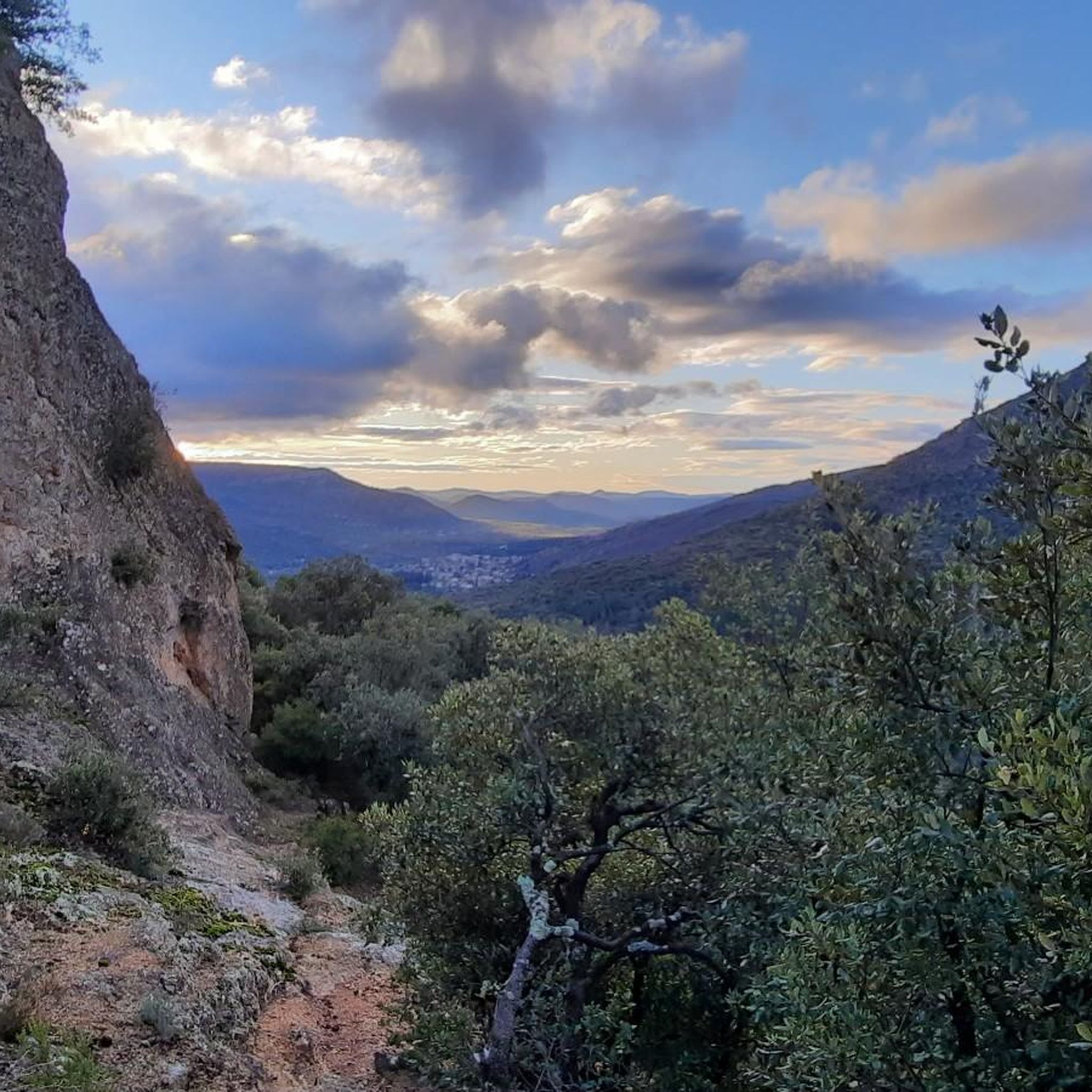
The cliffs of Orque (or Olque, depending on local toponyms) form a real rocky front overlooking the Haut-Languedoc: a limestone wall about 200 meters high, leaning against a plateau perched around 800 meters, north of the Caroux and Espinouse massifs.
0
0
The Col de la Croix de Mounis is one of those passes where you don't just cross a slope, but a true border between two valleys. Perched at an altitude of about 800 meters, in the heart of Haut-Languedoc, it connects the Mare valley to that of the Dourdou. For a long time, this pass was a strategic crossing point between Lacaune and Saint-Gervais-sur-Mare. Before modern roads, it was already part of a local circulation network, used by muleteers and stagecoaches, where villages, markets, and valleys were connected via routes dictated by the terrain. The current road still retains something of this logic: it doesn't cut through the mountain, it goes around it and "negotiates" it.
0
0
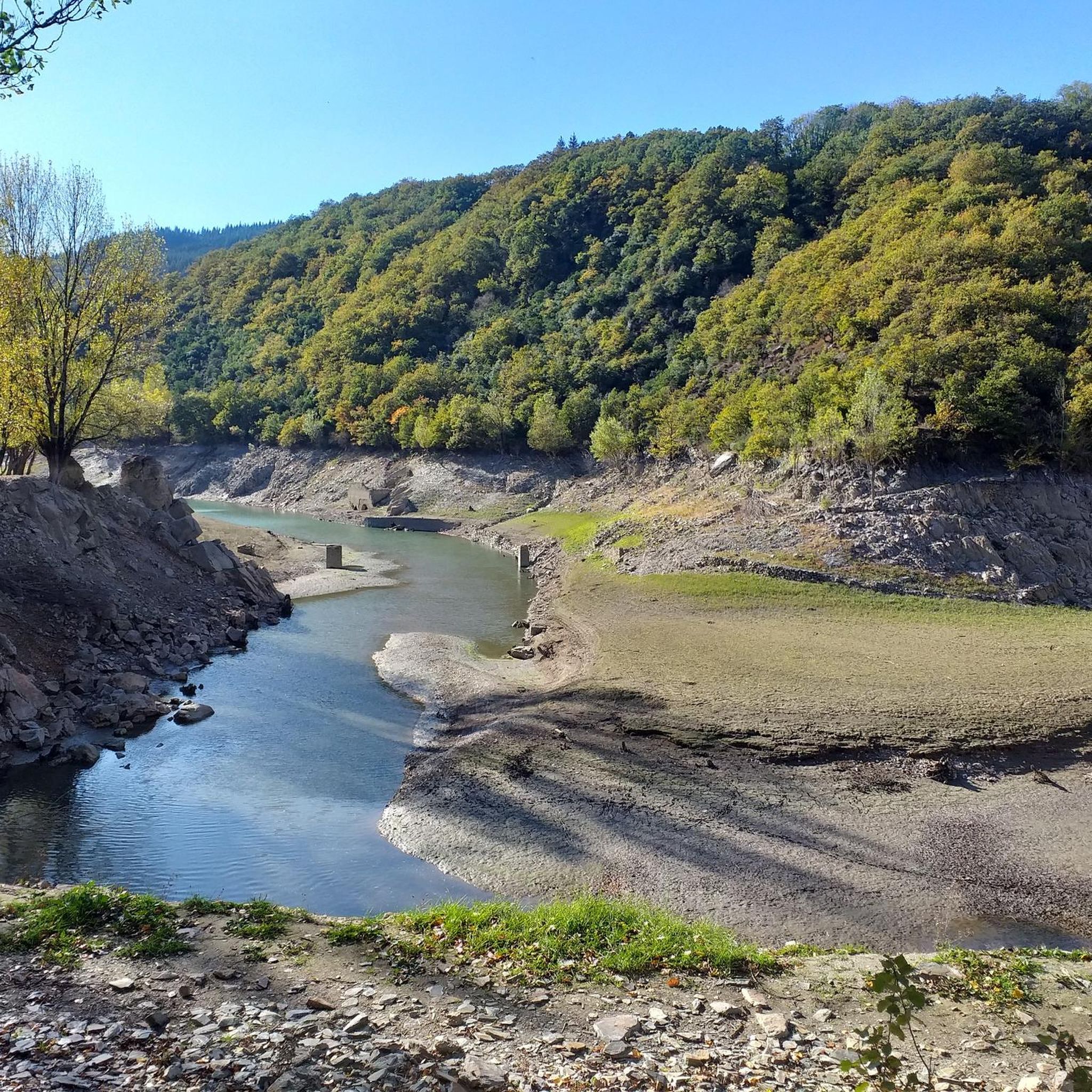
The Avène Reservoir reveals itself at this bend. Magnificent!
0
0
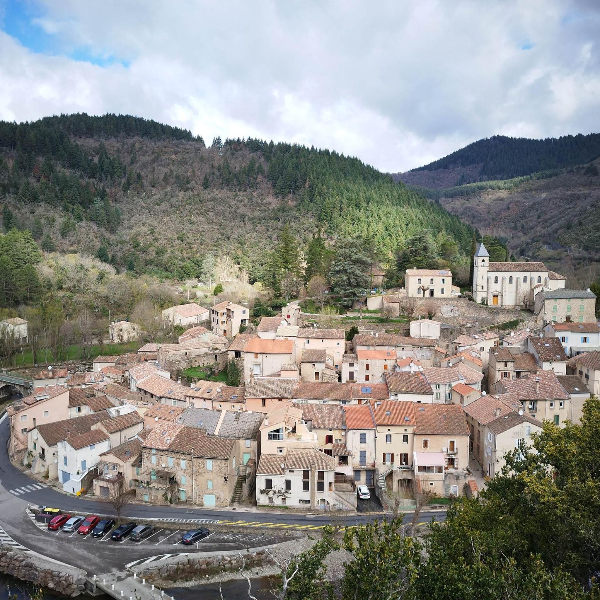
From the D8E13 bridge, the viewpoint offers a beautiful postcard of Avène and the Orb.
0
0

A very pleasant climb from Lamalou-les-Bains! The beginning is (very) steep (7-8% average over quite a few kilometers), but it becomes more rolling after that.
0
0

Super nice ‘tour’. The portion from the end of the lake is not always accessible. You might have to take the road which is ok and safe.
0
0
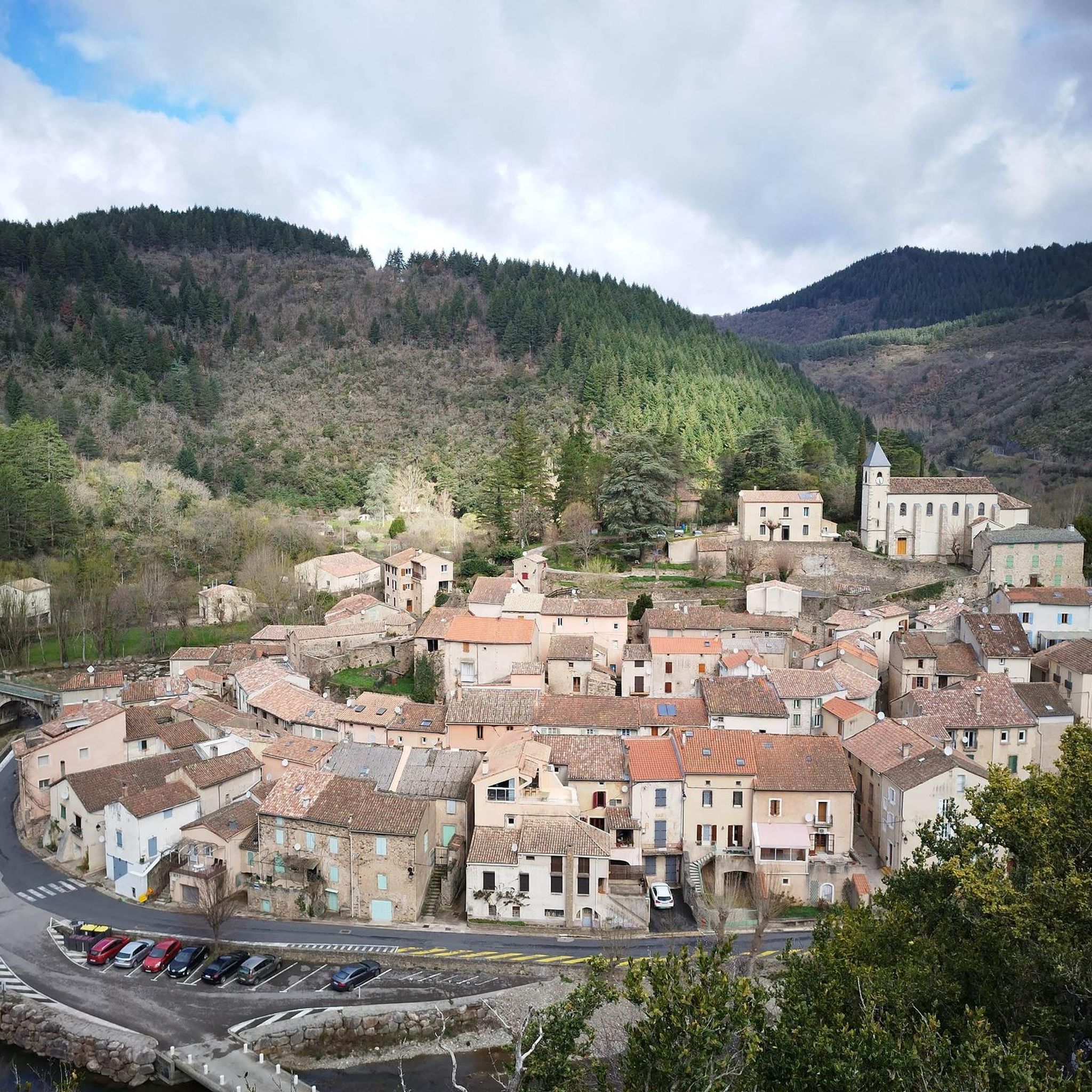
This tiny and peaceful village, with a worldwide reputation for the benefits of its water, is a perfect location for hikers and gravel enthusiasts. You have many options of loops from there. Enjoy!
0
0
Frequently Asked Questions
What is the general difficulty level of gravel biking in Tauriac-De-Camarès?
Gravel biking in Tauriac-De-Camarès is generally challenging, with all routes listed as 'difficult'. The region's varied topography, ranging from 467 to 905 meters in elevation, means you can expect significant ascents and descents. Routes often feature a mix of forest roads, tracks, and some paved sections, providing a demanding yet rewarding experience.
Are there any family-friendly gravel biking options in the area?
While the routes listed directly in Tauriac-De-Camarès are rated as difficult, the wider region offers more accessible cycling. For instance, the nearby Pays du Roquefort features a family-friendly cycling route called 'Brebis'Cyclette'. This suggests that while the immediate trails might be challenging, gentler options could be found in the surrounding areas for families.
What kind of landscapes and natural features can I expect to see on the gravel trails?
You'll encounter diverse landscapes, including extensive forests and semi-natural areas covering over 80% of the commune. A notable feature is the distinctive red earth and rock formations of Le Rougier de Camarès. The region also boasts scenic river valleys like the Dourdou and Sorgues, and is close to the Parc Naturel Régional des Grands Causses, known for its vast expanses and dramatic scenery like the Tournemire Cirque.
Are there any interesting landmarks or attractions along the gravel bike routes?
Yes, several points of interest can be found in the vicinity. For example, the route Joncels Abbey – Lunas loop from Avène connects historical sites. You might also pass by natural and man-made attractions such as Avène, spa town, the Monts d'Orb Dam, or Lac d'Avène. The Serviès Valley is also a scenic area you might traverse.
What is the best time of year for gravel biking in Tauriac-De-Camarès?
The region's varied topography and extensive outdoor trails are generally best enjoyed during spring and autumn when temperatures are milder. Summer can be warm, while winter might bring colder conditions, especially at higher elevations. Checking local weather forecasts before your ride is always recommended.
Are there any loop routes available for gravel biking?
Yes, many of the gravel bike trails in Tauriac-De-Camarès are designed as loops, allowing you to start and finish at the same point. Examples include the popular Lac de Bouloc – Avène Village loop from Avène and the Serviès Valley – Layrac Pass (765 m) loop from Avène. These circular routes offer varied scenery without retracing your steps.
What do other gravel bikers enjoy most about the trails in Tauriac-De-Camarès?
The komoot community rates the gravel biking experience in Tauriac-De-Camarès highly, with an average score of 4.0 stars. Riders often appreciate the diverse terrain, the extensive network of forest roads, and the unique landscapes, particularly the striking red earth of Le Rougier de Camarès. The challenging climbs and exhilarating descents are also frequently highlighted.
Are there options for advanced gravel bikers seeking a longer challenge?
Absolutely. For advanced riders looking for a significant challenge, the region offers longer and more demanding routes. The Layrac Pass (765 m) – L'Espinouse Pass (1,124 m) loop from Avène is a substantial 90 km route with over 1600 meters of elevation gain, providing an epic day out for experienced gravel bikers.
Can I find cafes or accommodation near the gravel trails?
While Tauriac-De-Camarès itself is a small commune, the surrounding villages and towns, such as Avène and Lunas, which are often starting points or pass-throughs for these routes, offer amenities like cafes and accommodation. It's advisable to plan your stops in advance, especially in more remote sections of the trails.
What are the elevation gains like on the gravel bike routes?
The gravel routes in Tauriac-De-Camarès feature significant elevation changes, reflecting the region's undulating terrain. For example, the Layrac Pass – Col de la Croix de Mounis loop from Avène involves over 1700 meters of ascent, providing a strenuous workout and rewarding views from various passes.
Is public transport available to reach the gravel biking areas?
Information on specific public transport links directly to the trailheads in Tauriac-De-Camarès is limited. The region is rural, so accessing starting points often requires personal vehicle transport. However, larger towns in the Aveyron department may have bus services, which could be a starting point for further travel to the trail areas.
Most popular routes around Tauriac-De-Camarès
Most popular attractions around Tauriac-De-Camarès

Get inspired with the komoot mobile app


Explore more
Browse the best Gravel rides in other regions.
