Top 12 Mountain Passes around Rebeuvelier
Best mountain passes around Rebeuvelier are situated within the Jura Mountains in Switzerland. This region is characterized by its diverse topography, offering a range of passes that connect various valleys and cantons. The area provides routes for both cycling and hiking, with passes featuring historical significance and varied terrain. Rebeuvelier serves as a base for exploring these mountain passes in the surrounding Jura landscape.
Best mountain passes around Rebeuvelier
- The most popular mountain pass is Balmberg Pass Summit, a…
Last updated: June 26, 2026
Balmberg Pass Summit
Highlight • Mountain Pass
Translated by Google •
Tip by

Welschgätterli Pass
Highlight • Mountain Pass
Translated by Google •
Tip by

Sign up now to discover places like this
Get recommendations on the best single tracks, peaks, & plenty of other exciting outdoor places.
Sign up for free
Schelten Pass from Mervelier
Highlight (Segment) • Mountain Pass
Translated by Google •
Tip by

Weissenslein Passhöhe Forest Trail
Highlight (Segment) • Trail
Translated by Google •
Tip by

Huggerwald Climb
Highlight (Segment) • Climb
Translated by Google •
Tip by

Sign up for free to discover even more mountain passes around Rebeuvelier.
Sign up for free
Already have an account?
Start today with a free account
Your next adventure awaits.
Login or Signup
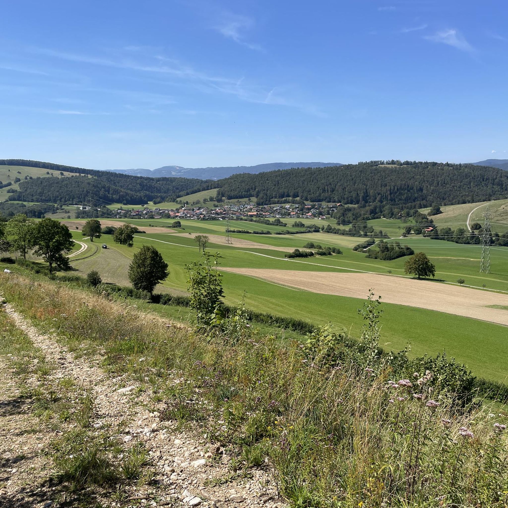
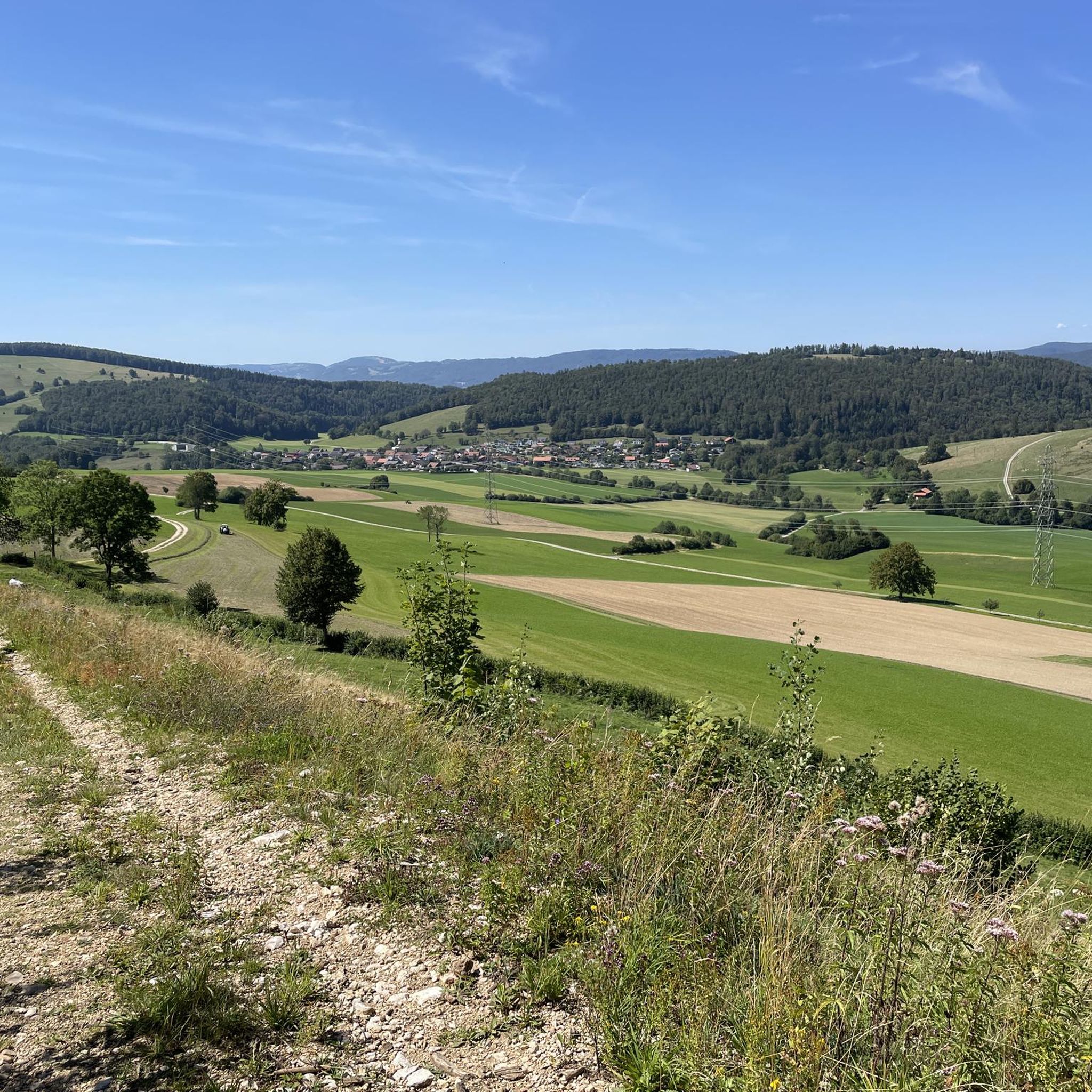
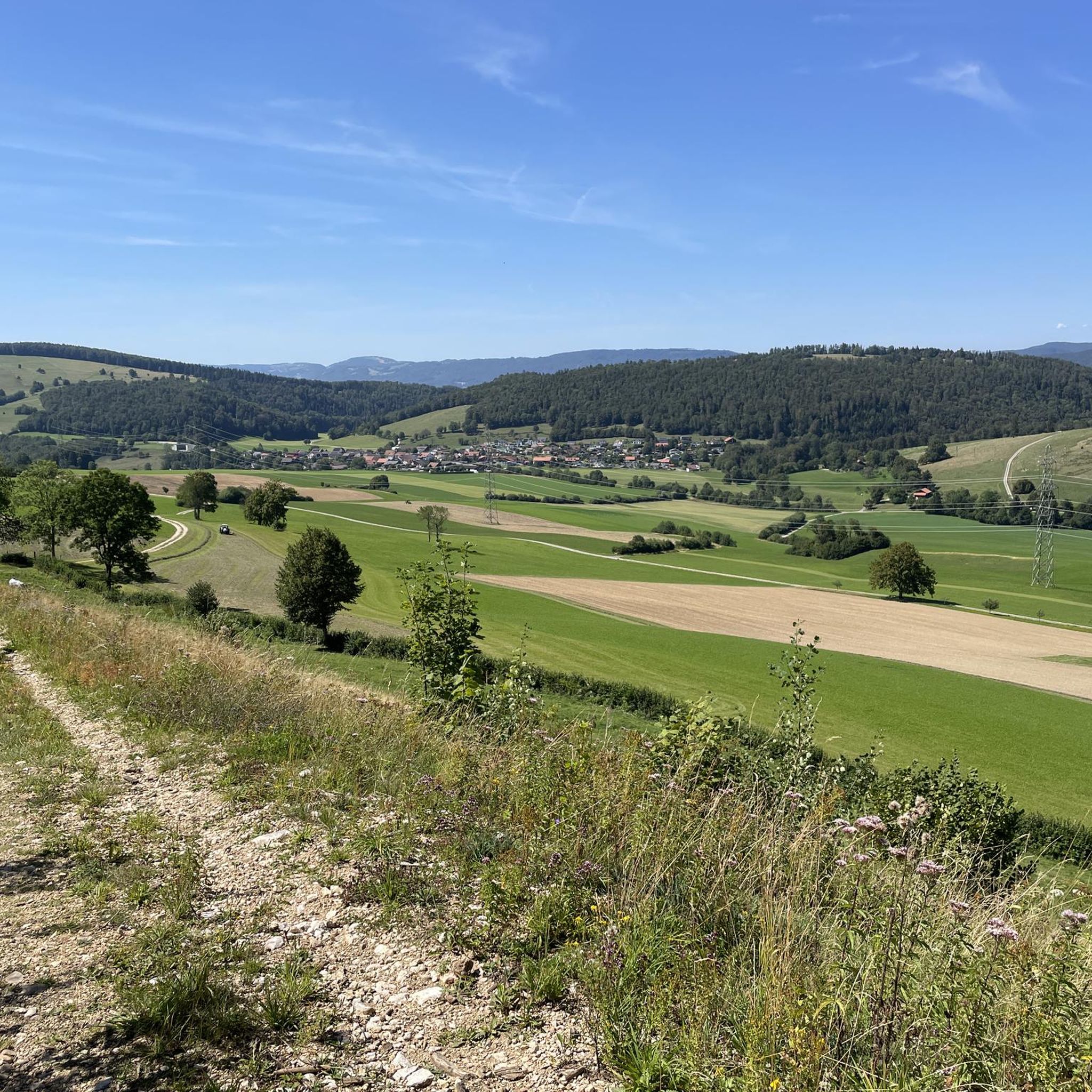
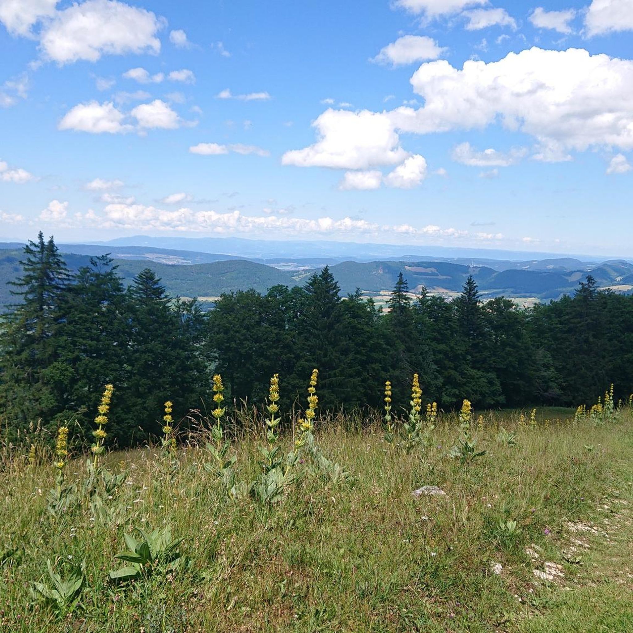
Tips from the Community

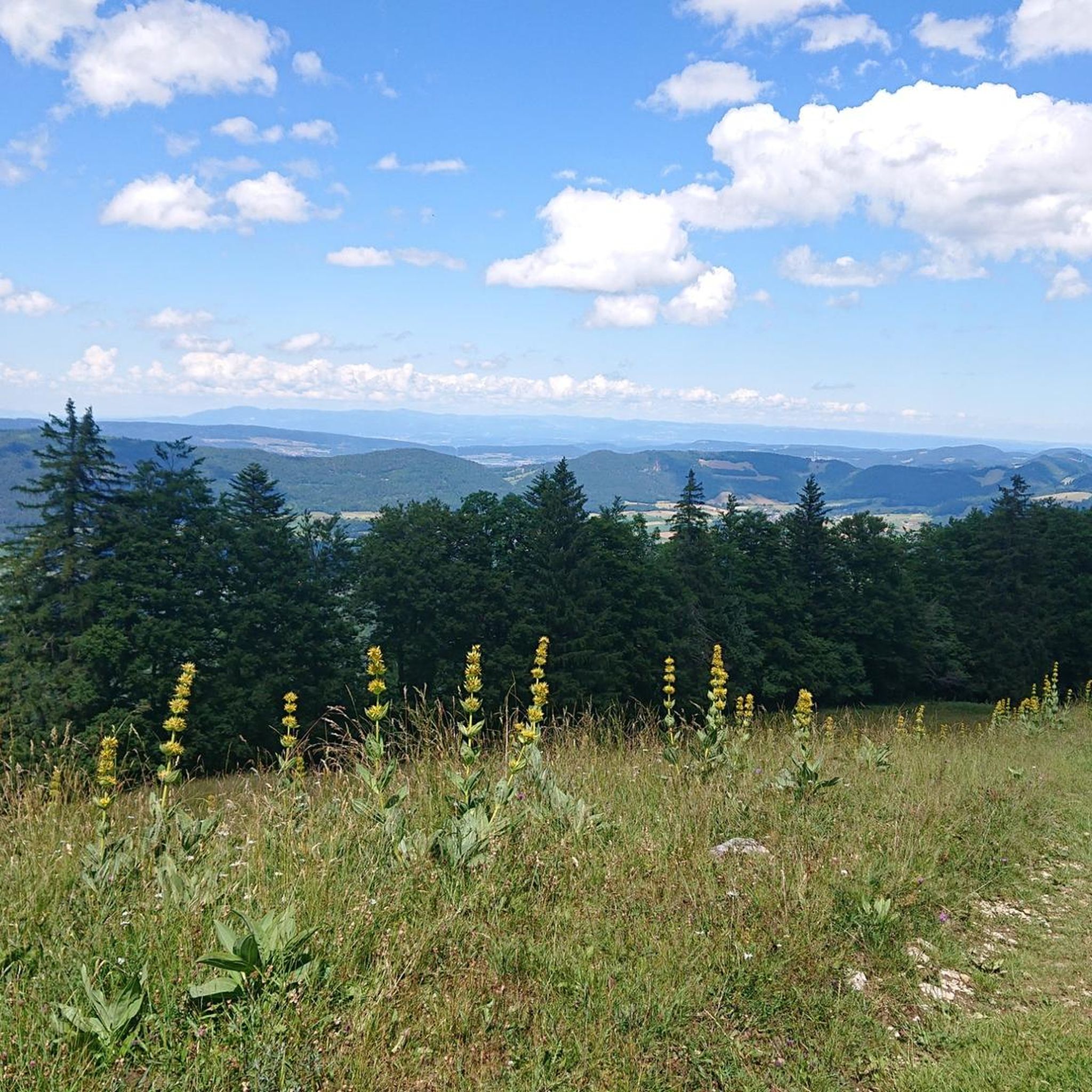
There are parking spaces directly at the pass
0
0

Unfortunately, the Kurhaus is still listed on a hiking map as a catering facility.
0
0

A powerful project with a 40-year-old Colnago.
0
0

The Balmberg is particularly notorious for its extremely steep approach from Welschenrohr. There, the asphalt climb climbs approximately 400 meters with gradients of up to 25%. From Günsberg, it's considerably easier – in comparison – but still a real fitness test!
1
0


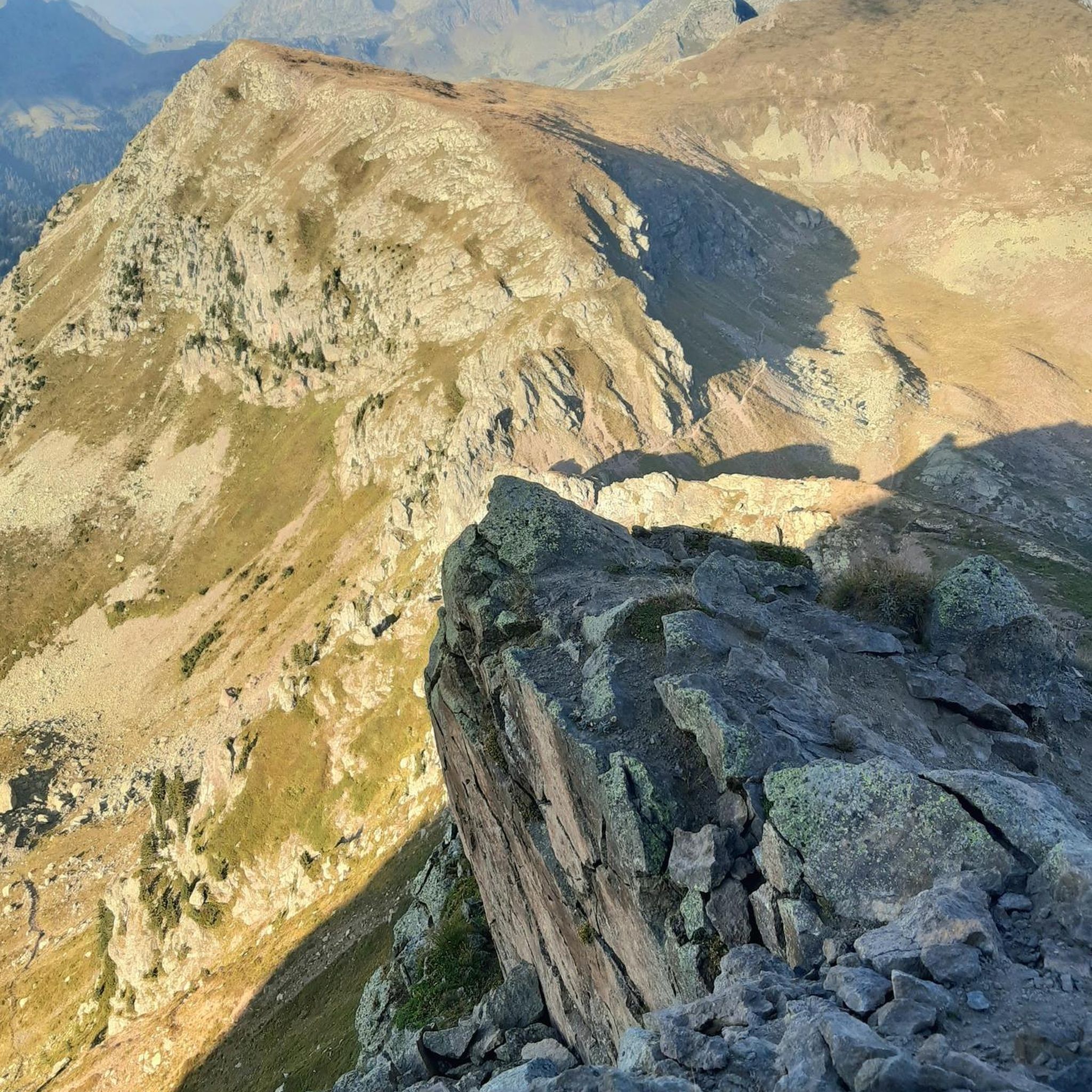
The Welschgätterli is a mountain pass between Montsevelier in the canton of Jura and Erschwil in the canton of Solothurn. Its summit is at an altitude of 810 meters above sea level, directly on the border between the two cantons. A yellow-marked hiking trail leads over the pass, connecting the two villages. You can also hike past the Welschgätterli on the Chemin du Val Terbi, which takes you on a circular route over the heights around Montsevelier. From the summit of the pass, the hike to Montsevelier takes about half an hour and to Erschwil around 40 minutes.
5
0

Welschgätterli, a "to-do" in the region! 😍
1
0

Frequently Asked Questions
What are some notable mountain passes in the Jura region near Rebeuvelier?
The Jura region offers several distinctive mountain passes. Beyond those mentioned in the guide's introduction, you can explore the historic Col de Pierre Pertuis, the panoramic Col de la Faucille, or the scenic Blochmont Pass known for its gentle grade.
Which mountain passes offer challenging climbs for cyclists?
For cyclists seeking a challenge, the Balmberg Pass Summit is notorious for its extremely steep approach from Welschenrohr, with gradients up to 25%. The Schelten Pass from Mervelier also presents a difficult ascent on a well-paved road with minimal traffic, making it an ideal route for dedicated cyclists. Additionally, the Col du Chasseral offers a significant climb to the highest point in the Bernese Jura.
Are there mountain passes with historical significance in the area?
Yes, the Col de Pierre Pertuis holds significant historical importance. It served as a crucial traffic artery even in Roman times, connecting major routes through the Jura. While its traffic importance has diminished, it remains a mystical place worth exploring for its past.
Where can I find panoramic views from a mountain pass?
For breathtaking vistas, the Col de la Faucille, situated at 1,323 meters, provides a 360-degree panorama of the Alps and the Valserine Valley, including views of the Mont-Blanc massif. The Belchenflue Pass also offers very scenic views and magnificent panoramas, rewarding those who undertake its demanding route.
Are there hiking trails associated with these mountain passes?
Many passes offer hiking opportunities. For instance, a yellow-marked hiking trail leads over the Welschgätterli Pass, connecting the villages of Montsevelier and Erschwil. The Benkerjoch Pass also features hiking trails leading to the Wasserflue. For more hiking options, you can explore the Mountain Hikes around Rebeuvelier guide, which includes routes like the 'View from Balmfluehchöpfli – Röti Summit loop'.
What are some easier or more moderate mountain passes for a pleasant experience?
The Blochmont Pass is known for its gentle 3% grade, making it a relatively easy and pleasant climb or a beautiful, fast descent, ideal for casual travelers or cyclists. The Huggerwald Climb is also described as a beautiful small pass without much traffic, offering a good experience for those not seeking extreme challenges.
Can I find amenities like parking or rest areas at these passes?
Yes, some passes offer amenities. The Egg junction, which acts as a pass, has a fire pit, a bench, and a small parking lot, serving as a convenient starting or ending point. The Belchenflue Pass also provides a rest area with parking spaces.
What do visitors enjoy the most about the mountain passes around Rebeuvelier?
Visitors frequently appreciate the challenging climbs, scenic viewpoints, and historical routes. The komoot community has shown strong engagement, with over 400 upvotes and 90 photos shared across the various passes, highlighting the diverse experiences available for cycling and hiking enthusiasts.
What is the best time of year to visit the mountain passes in the Jura region?
The best time to visit the mountain passes in the Jura region is generally from late spring to early autumn (May to October) when the weather is milder, and the passes are clear of snow, making them ideal for cycling and hiking. Some passes might be accessible in winter for specific activities, but conditions can be challenging.
Are there opportunities for other outdoor activities near these passes?
Absolutely. Beyond exploring the passes themselves, the region around Rebeuvelier offers diverse outdoor activities. You can find numerous cycling routes, including those in the Cycling around Rebeuvelier guide and Road Cycling Routes around Rebeuvelier guide. These guides feature routes of varying difficulties, from easy bike loops to challenging road cycling tours like the 'Mont Crosin (1,227 m) – View from the Chasseral summit loop'.
Which passes are suitable for those looking for less traffic?
The Schelten Pass from Mervelier is noted for having hardly any motor vehicle or motorcycle traffic, making it an ideal cycling pass. Similarly, the Huggerwald Climb is described as a small pass without much traffic, offering a peaceful experience.
How can I access some of these mountain passes by public transport?
Some passes are accessible via public transport. For example, the Balmberg Pass Summit can be reached by car or public transport from Solothurn's main train station. For other passes, it's advisable to check local bus schedules or consider a combination of public transport and a short hike or cycle.
Most popular routes around Rebeuvelier
Most popular attractions around Rebeuvelier

Get inspired with the komoot mobile app


Explore more
See even more epic mountain passes by checking out these guides around Rebeuvelier:
