Top 20 Mountain Passes around Waltensburg/Vuorz
Best mountain passes around Waltensburg/Vuorz are found in the Surselva region of Graubünden, Switzerland. This area serves as a base for exploring various mountain passes known for their natural landscapes and historical significance. The region features diverse alpine terrain, including high mountain passes and plateaus. Its proximity to transportation hubs provides access to routes connecting different cantons.
Best mountain passes around Waltensburg/Vuorz
- The most popular mountain passes is Alpine Route Between Val Lumnezia and Obersaxen, a trail that offers…
Last updated: July 10, 2026
Fiseten Pass
Highlight • Mountain Pass
The Fisetenpass is a mountain pass in the municipality of Spiringen (Urnerboden exclave) in the canton of Uri. Its pass is at an altitude of 2036 meters …
Translated by Google •
Tip by

Richetli Pass
Highlight • Mountain Pass
Translated by Google •
Tip by

Sign up now to discover places like this
Get recommendations on the best single tracks, peaks, & plenty of other exciting outdoor places.
Sign up for free
Glarus–Uri Boundary Stone
Highlight • Monument
The most important basis for reconstructing historical traffic routes in Switzerland is the Siegfried map, which has been published in countless (new) editions since 1870. The surprise …
Translated by Google •
Tip by

Alpine Route Between Val Lumnezia and Obersaxen
Highlight (Segment) • Trail
Translated by Google •
Tip by

Klausen Pass from Linthal
Highlight (Segment) • Mountain Pass
Translated by Google •
Tip by

Sign up for free to discover even more mountain passes around Waltensburg/Vuorz.
Sign up for free
Already have an account?
Start today with a free account
Your next adventure awaits.
Login or Signup
Popular around Waltensburg/Vuorz
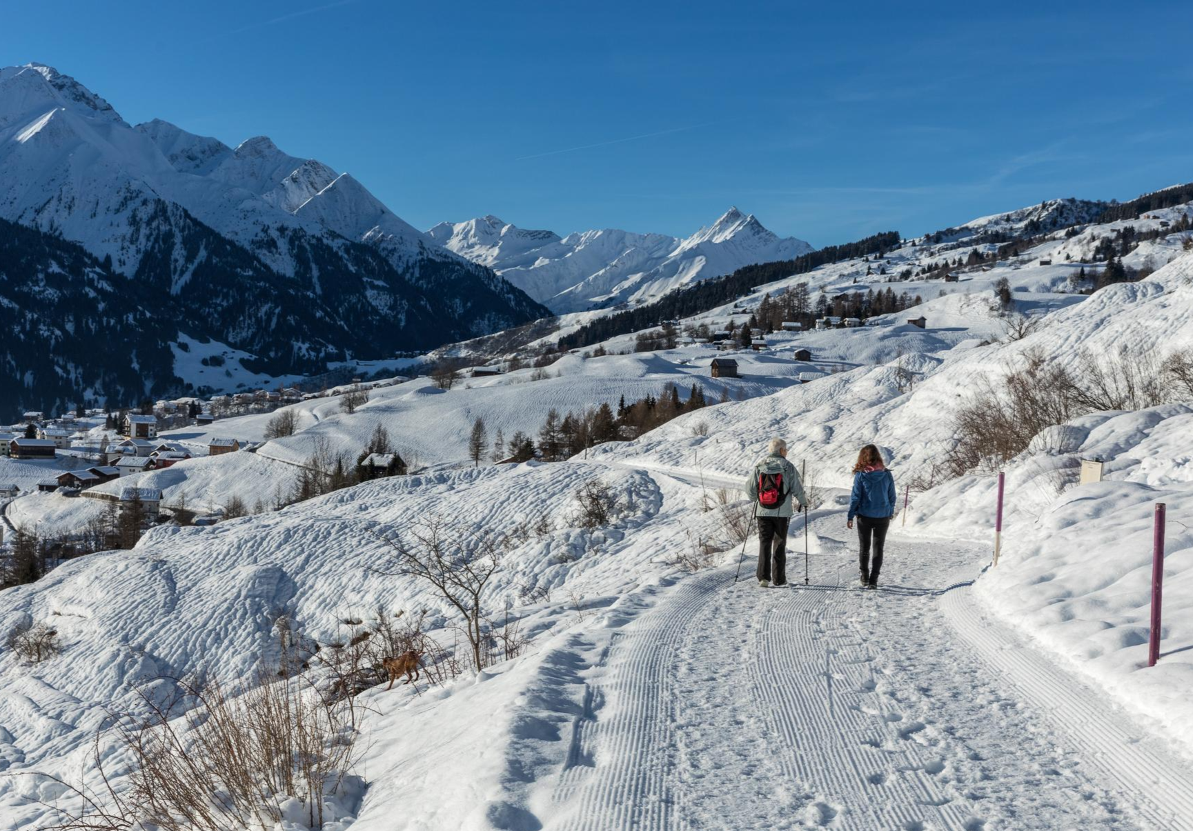
A winter mountain paradise – discover the Surselva
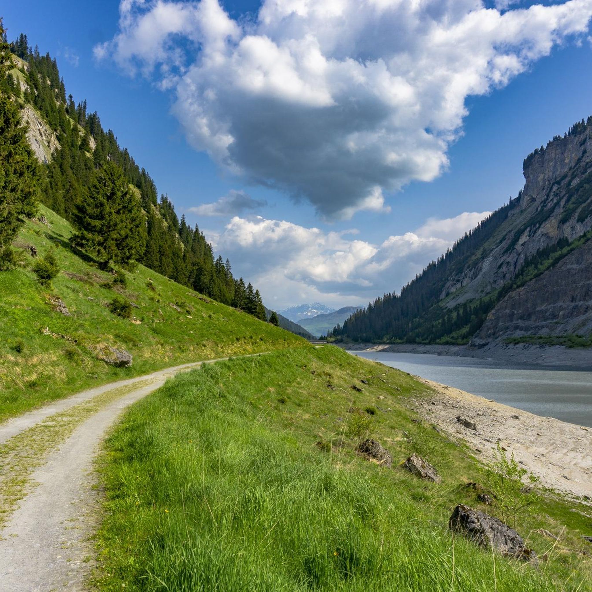
MTB Trails around Waltensburg/Vuorz
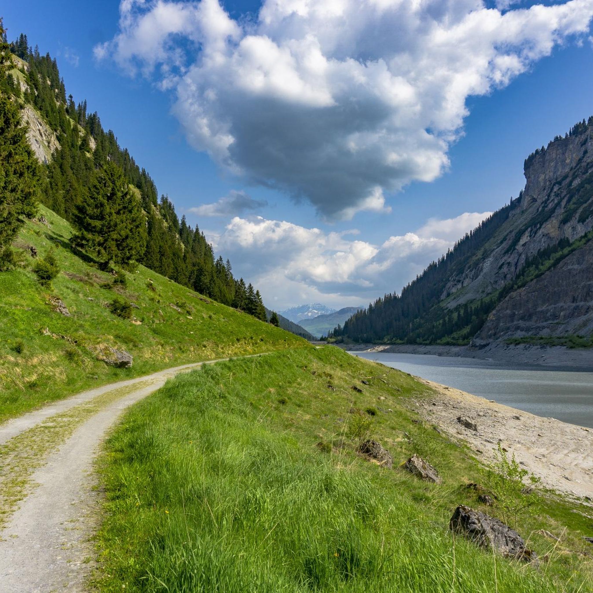
Cycling around Waltensburg/Vuorz
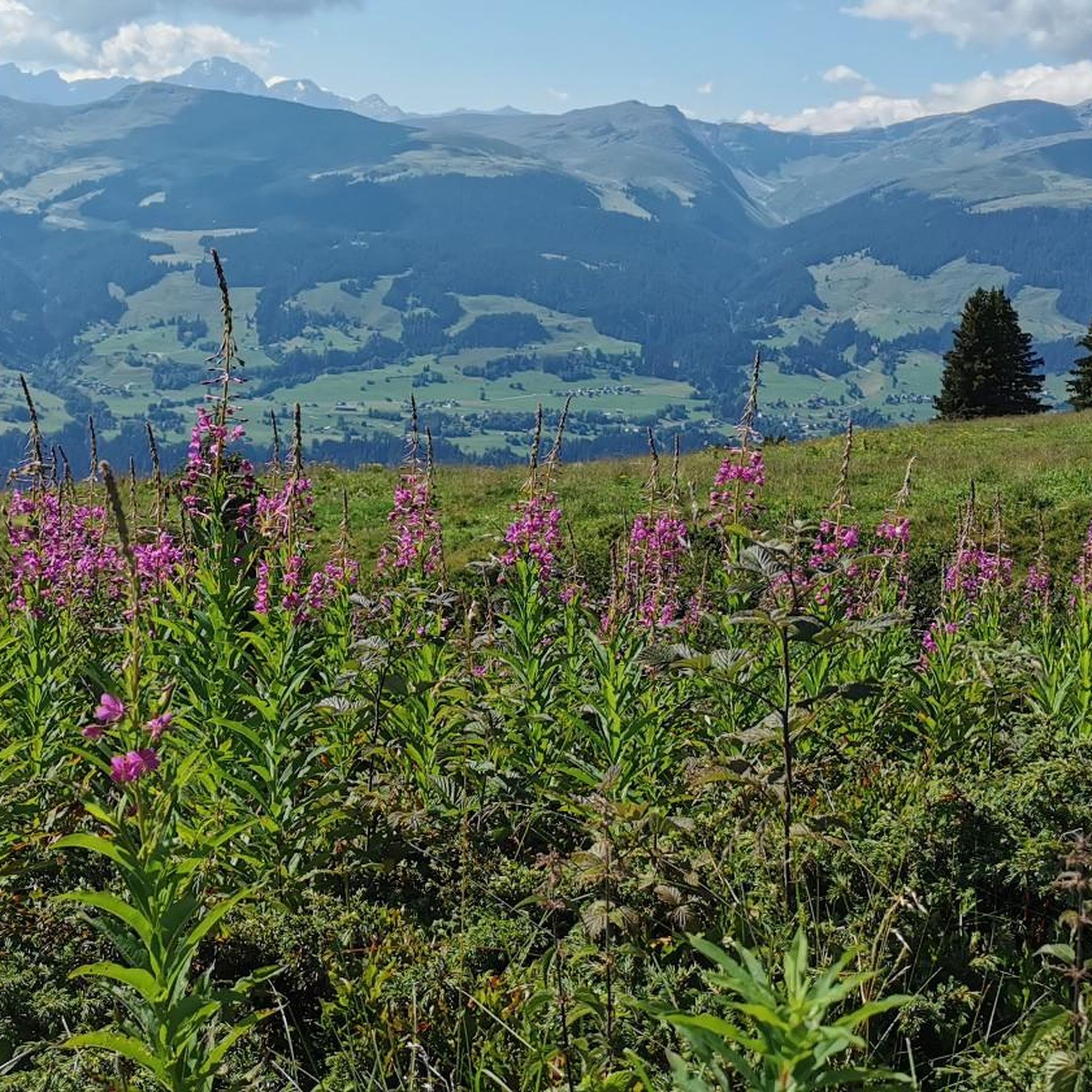
Hiking around Waltensburg/Vuorz
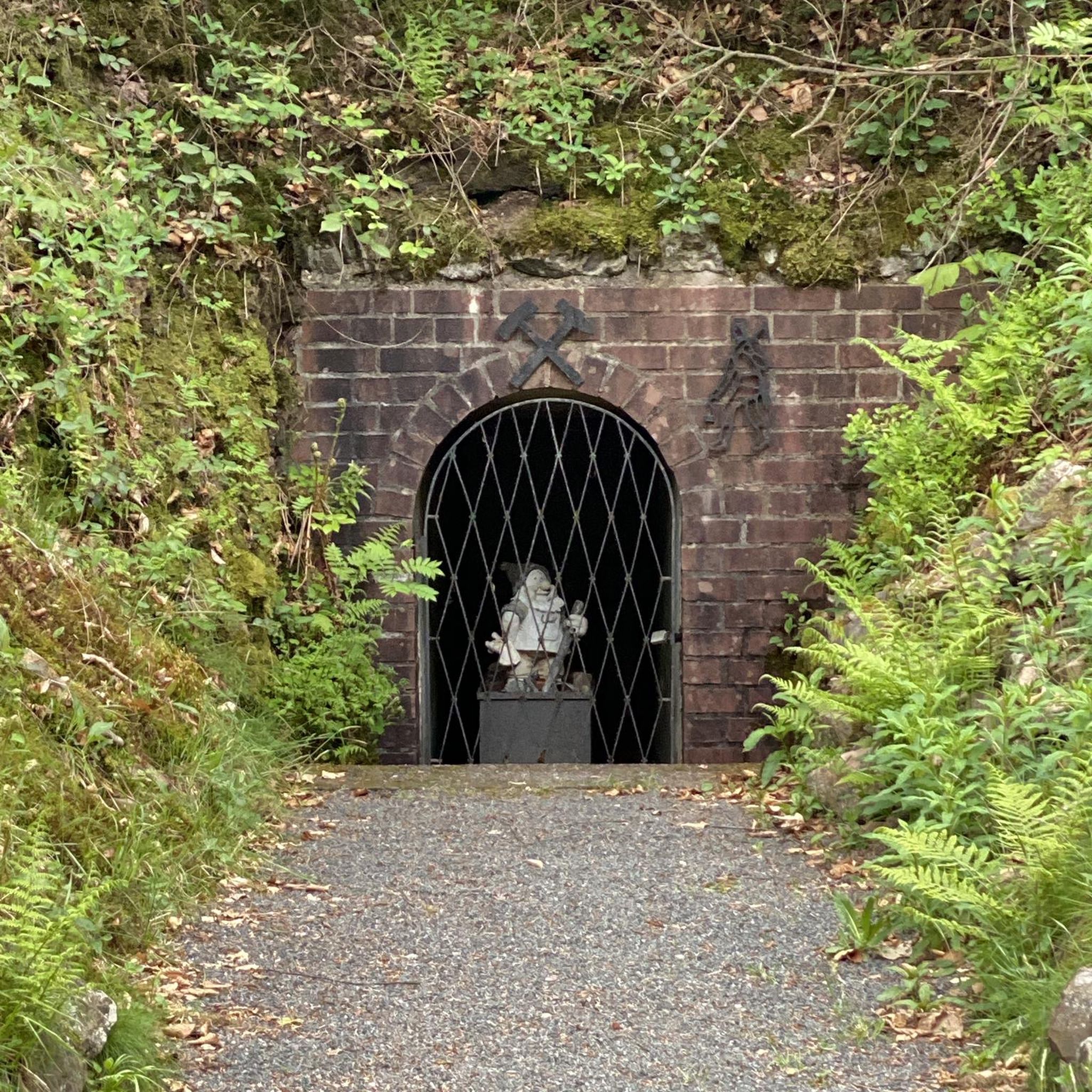
Gravel biking around Waltensburg/Vuorz
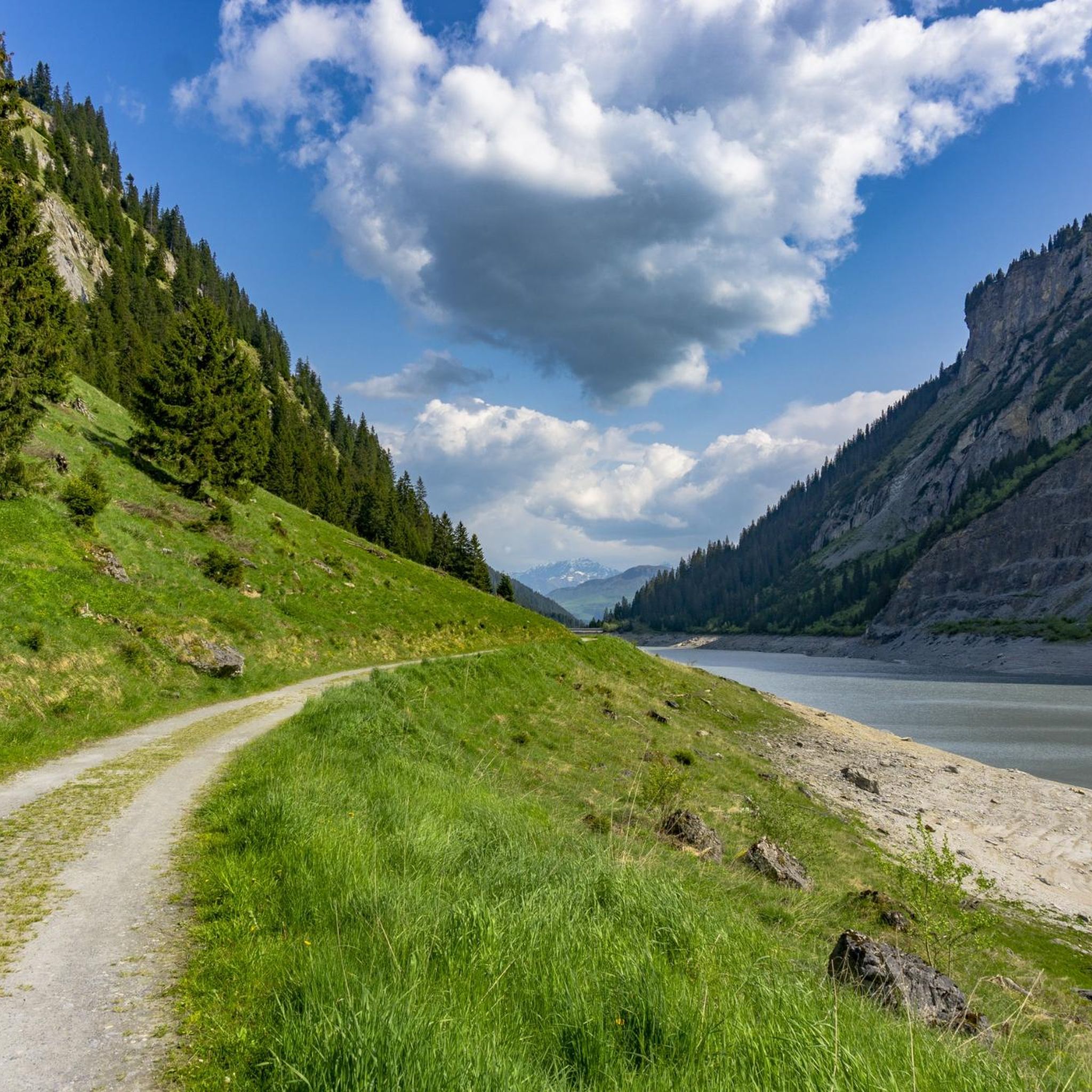
Road Cycling Routes around Waltensburg/Vuorz
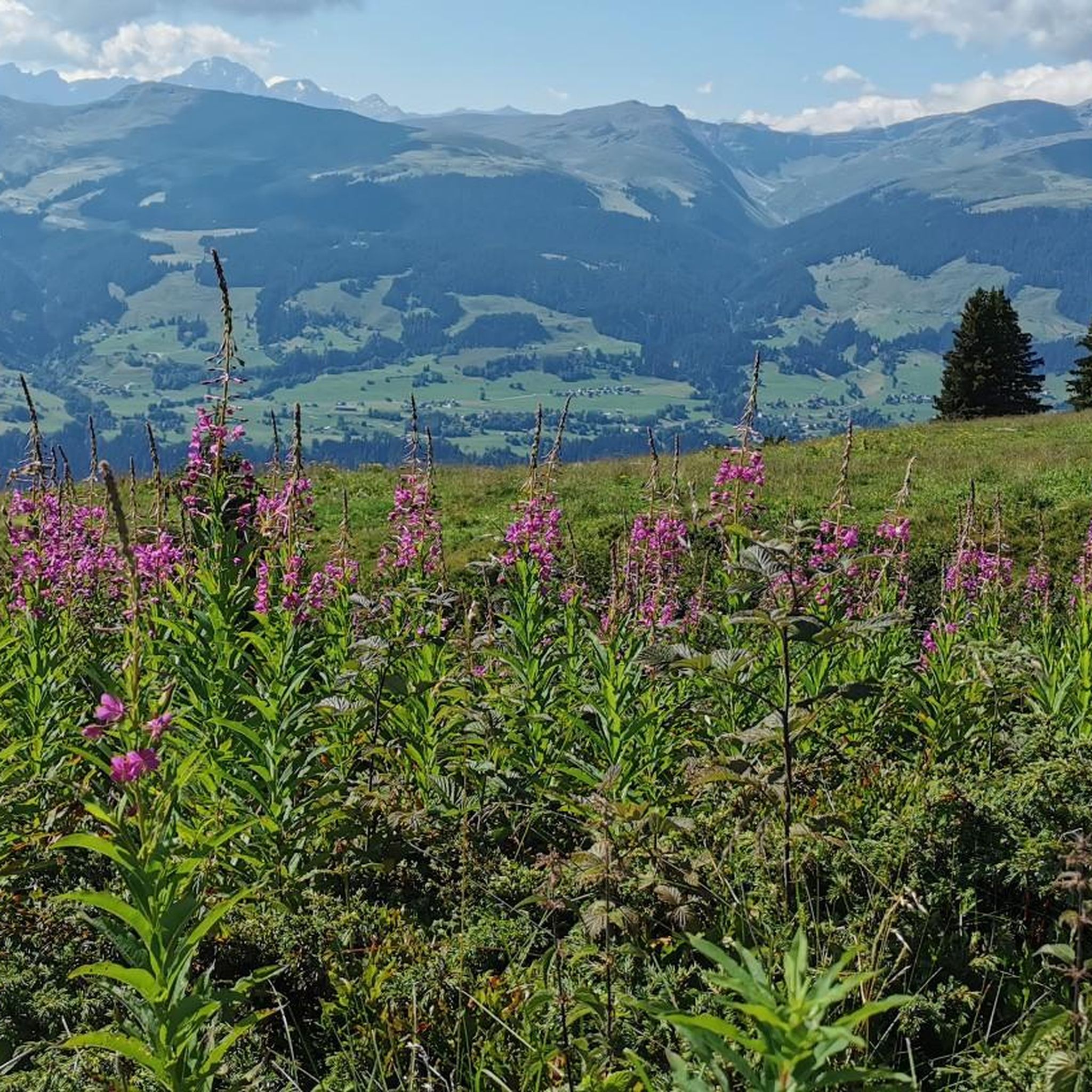
Running Trails around Waltensburg/Vuorz
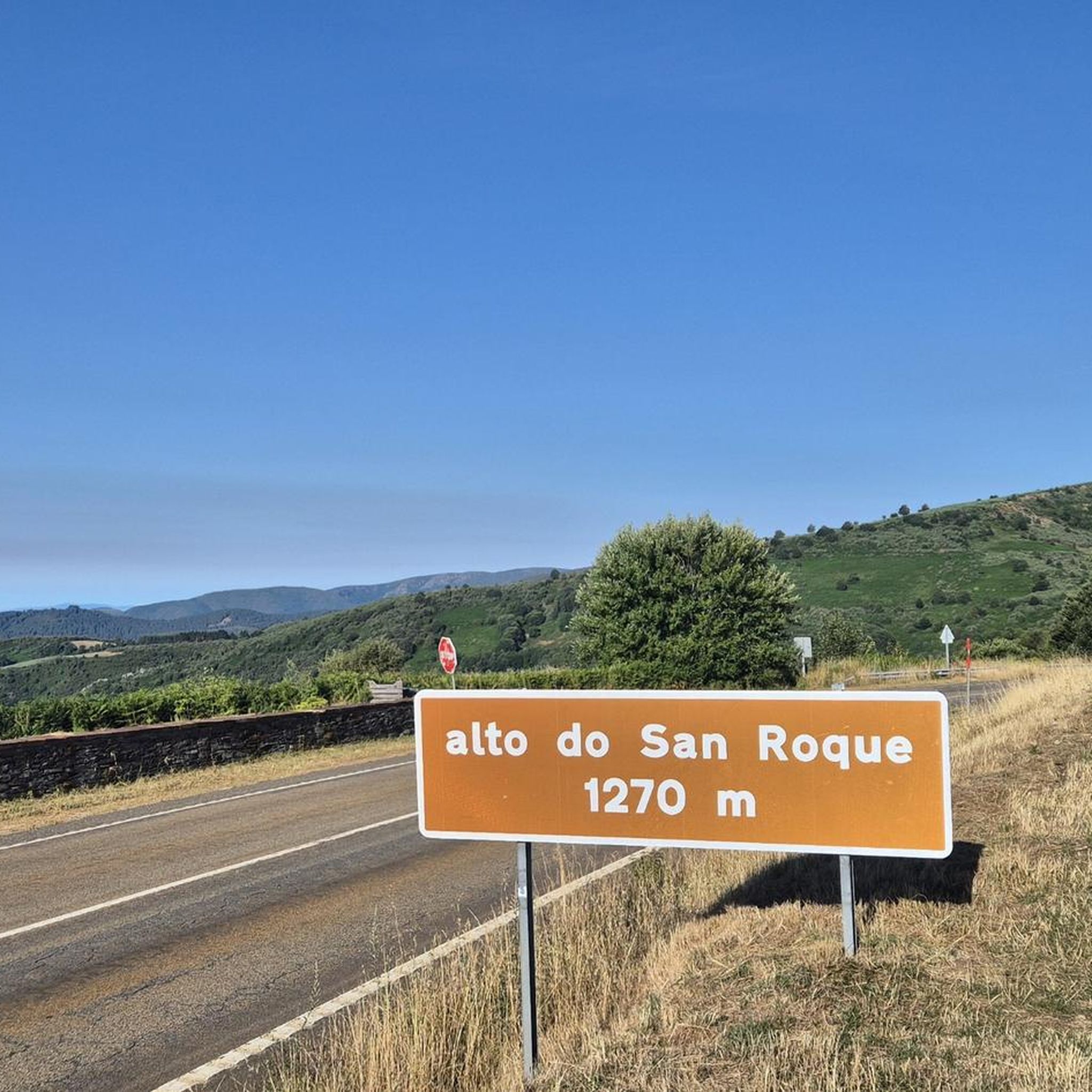
Mountain Hikes around Waltensburg/Vuorz
Other adventures around Waltensburg/Vuorz

Tips from the Community

The Richetli Pass is a wonderful pass between Linthal and Elm. The Linthal side is significantly steeper than the Elm side. Coming from Linthal, you'll have your first glimpse of the Glarus Thrust here, before admiring the entire spectacle from the Wichlenmatt.
0
0

The Richetli Pass (2,261 m above sea level) is a high mountain pass in the Glarus Alps and connects the towns of Linthal and Elm in the canton of Glarus. The pass lies between the valley of the Linth River and the valley of its tributary, the Sernf. The Richetli Pass is the lowest point between the Hausstock and Kärpf peaks. Source: https://share.google/5uPMLWragfRQhSfx8
1
0


Great view, several benches to sit and enjoy. I would definitely climb through the forest myself instead of taking the gondola – it's so much more beautiful up there...and the path through the forest is really beautiful.
1
0


Follow the marked trail, otherwise it will get deep
0
0

The trail that A. Villiger means is "Grenzstei S1 - S2 Trail" and is no more difficult than S2 :-)
1
0

From Vorder Stafel/Hinter Stafel a hiking trail leads down to the pass road and ends at the boundary stone. The path is difficult for MTB (S2 and S3). PS: to the boundary stone: the people of Uri simply wanted the big alp for themselves.
1
0
Frequently Asked Questions
Which mountain passes around Waltensburg/Vuorz offer the most stunning natural landscapes?
The region boasts several passes with breathtaking scenery. The Lukmanier Pass features gently winding roads, dense forests, expansive fields, and views of the snow-capped Gotthard Massif. The Oberalp Pass is known for its proximity to the source of the Rhine River at Lake Toma and the turquoise waters of the Oberalpsee. For a truly unique experience, the Greina Pass offers an untouched alpine tundra landscape with geological wonders and wild meandering rivers.
Are there mountain passes with historical significance near Waltensburg/Vuorz?
Yes, the Lukmanier Pass has a rich history, serving as a vital trade route since Roman times and favored by Emperor Frederick Barbarossa. You can find the rebuilt Lukmanier Hospice and chapel along the route, originally dating back to 1374. The name 'Lukmanier' itself is believed to derive from 'locus magnus,' meaning 'large, open place'.
Which mountain passes are suitable for cycling or motorcycling?
The Lukmanier Pass is popular for scenic drives, motorcycling, and cycling, with generally well-maintained roads. The Oberalp Pass also offers a smooth, well-engineered road with flowing corners, making it enjoyable for driving and cycling. For gravel biking enthusiasts, there are routes like the Lukmanier Pass summit loop from Rueun.
What is the best time to visit the mountain passes around Waltensburg/Vuorz?
Most mountain passes are best visited during the summer months (June to September) for hiking, cycling, and scenic drives, when the roads are fully open and weather conditions are favorable. The Lukmanier Pass is notable for being open most of the year, even in winter, thanks to its moderate altitude and a 2 km long tunnel. The Oberalp Pass road closes in winter, but the Matterhorn Gotthard Bahn railway operates year-round.
Are there family-friendly mountain passes or activities for children?
The Oberalp Pass offers easy walks around the Oberalpsee lake, which is a great spot for picnics. The distinctive red lighthouse at the summit is also a fun photo opportunity. For an accessible mountain experience, the Fiseten Pass can be reached by a mountain cable car from Urnerboden, with short walks to viewpoints at the top.
How can I reach the Greina Pass, which is primarily a hiking destination?
The Greina Pass is accessible only on foot. From Waltensburg/Vuorz, you can take a train or bus to Ilanz, then an hourly post bus to Vrin. From Vrin, a bus alpin can take you to Puzzatsch, a common starting point for hikes into the Greina region. The hike from Puzzatsch to the Diesrut Pass (an 'entrance gate' to Greina) involves a steep ascent.
What unique natural features can I find at the mountain passes?
At the Oberalp Pass, you can hike to Lake Toma, considered the official source of the Rhine River, and see a unique red lighthouse symbolizing its origin. The Greina Pass is famous for its vast alpine tundra plateau, geological formations, and the majestic 40-meter Greina Arch. The Lukmanier Pass features the deep blue reservoir, Lai da Sontga Maria, at its summit.
What do visitors enjoy most about the mountain passes in this region?
Visitors frequently praise the stunning panoramic views and the sense of tranquility. For example, the Alpine Route Between Val Lumnezia and Obersaxen is loved for its beautiful views in all directions after a climb. The Fiseten Pass is highlighted for its wonderful views and benches to relax on. The region offers a perfect mix of nature and history, providing a relaxing experience.
Are there challenging hiking trails near the mountain passes?
Yes, the Greina Pass offers numerous challenging hiking routes, including multi-day hut tours across its remote plateau. The Richetli Pass is also a high mountain pass in the Glarus Alps, connecting Linthal and Elm, and is part of the challenging Green Trail of the Via Alpina. For more options, explore Mountain Hikes around Waltensburg/Vuorz.
What public transport options are available to reach the mountain passes?
From Waltensburg/Vuorz, you can reach Disentis/Mustér by train or bus, which serves as a gateway to both the Lukmanier Pass and the Oberalp Pass. For the Greina Pass, public transport involves a train/bus to Ilanz, then a post bus to Vrin, followed by a bus alpin to Puzzatsch. The Oberalp Pass also has the Matterhorn Gotthard Bahn railway running parallel to the road, offering year-round access.
Can I find less crowded mountain passes for a more serene experience?
The Greina Pass is renowned for its remoteness and tranquility, offering an immersive nature experience away from crowds due to its accessibility primarily on foot. It's a protected zone, ensuring its pristine condition and serene atmosphere.
Are there opportunities for wildlife spotting on the mountain trails?
While not explicitly detailed for specific passes, the untouched alpine landscapes of areas like the Greina Plateau and the general high-alpine environment around Waltensburg/Vuorz provide habitats for various alpine wildlife. Hikers on trails like the Mountain Hikes around Waltensburg/Vuorz may encounter local fauna, including ibex, especially in more remote sections.
Most popular routes around Waltensburg/Vuorz
Most popular attractions around Waltensburg/Vuorz

Get inspired with the komoot mobile app


Explore more
See even more epic mountain passes by checking out these guides around Waltensburg/Vuorz:
