Top 6 Mountain Passes around Denzlingen
Best mountain passes around Denzlingen are found in the Upper Rhine Plain at the edge of the Black Forest, a region situated at an elevation of 234 meters. This area features elevated scenic routes and viewpoints rather than traditional high alpine passes. The landscape offers expansive panoramas and diverse terrain, primarily accessible via an extensive network of hiking trails. These routes provide experiences of traversing elevated terrain with significant vistas across the Rhine Plain and surrounding hills.
Best mountain passes…
Last updated: June 26, 2026
Vogelsang Pass Road
Highlight (Segment) • Mountain Pass
Translated by Google •
Tip by

Gscheid Pass
Highlight • Mountain Pass
Translated by Google •
Tip by

Sign up now to discover places like this
Get recommendations on the best single tracks, peaks, & plenty of other exciting outdoor places.
Sign up for free
Schelinger Höhe — Ascent from Bahlingen
Highlight (Segment) • Mountain Pass
Translated by Google •
Tip by
Kandel Ascent from Waldkirch
Highlight (Segment) • Mountain Pass
Translated by Google •
Tip by

Lindenbühl Viewpoint
Highlight • Viewpoint
Translated by Google •
Tip by
Sign up for free to discover even more mountain passes around Denzlingen.
Sign up for free
Already have an account?
Start today with a free account
Your next adventure awaits.
Login or Signup
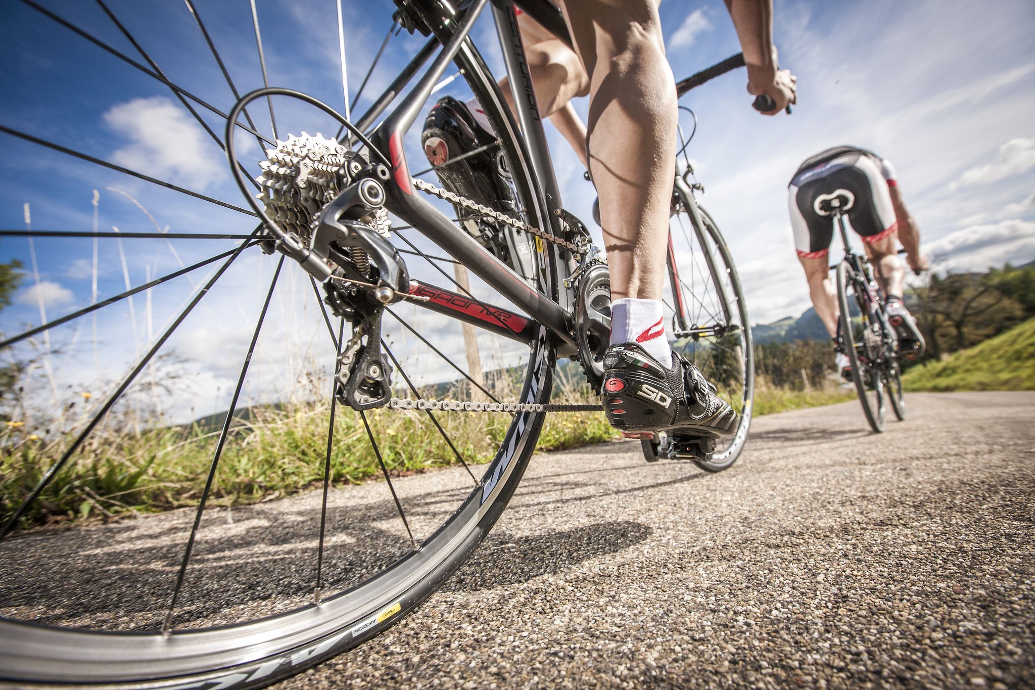
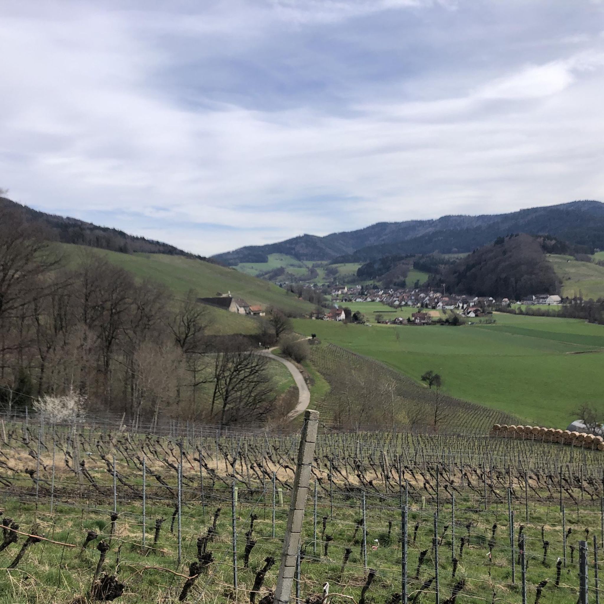
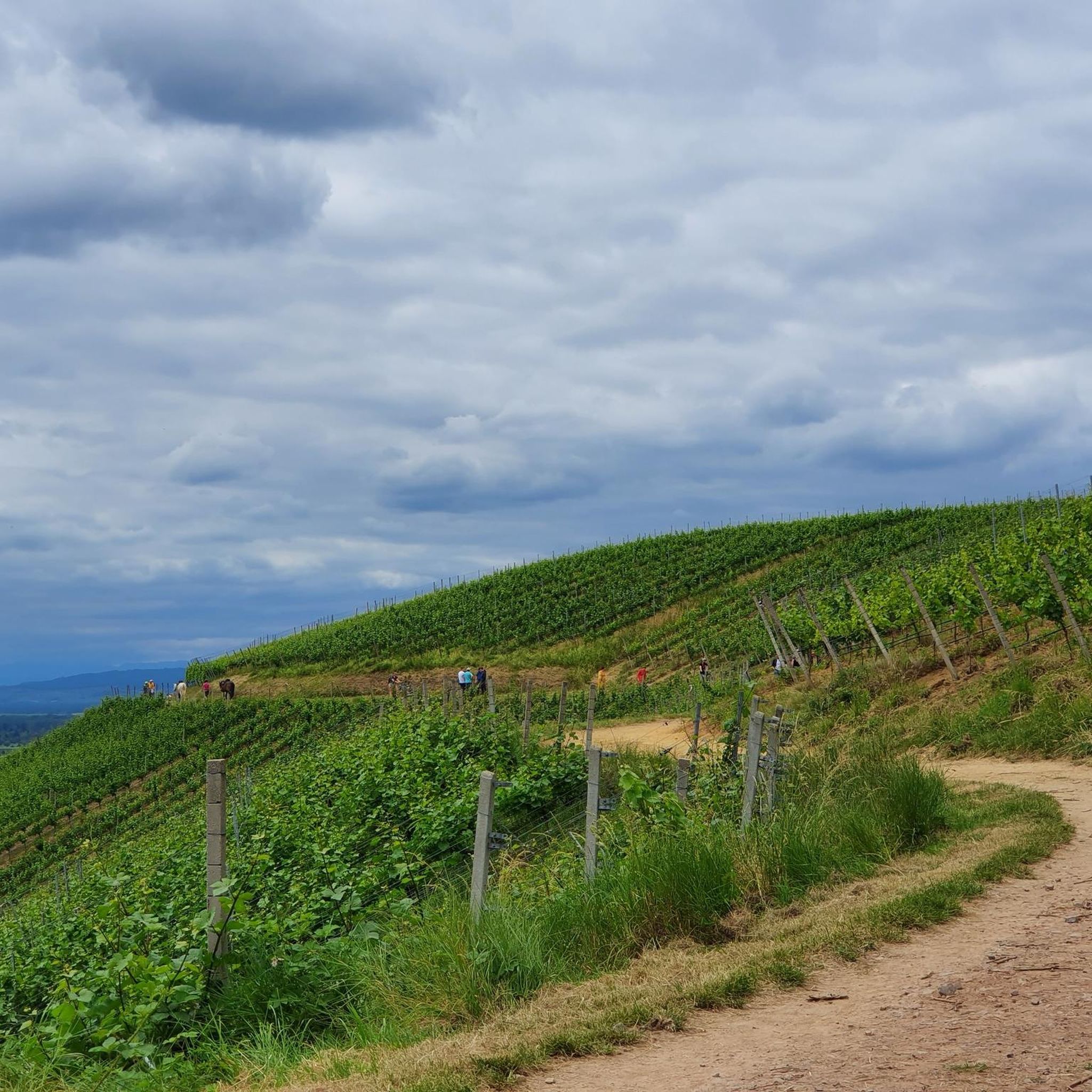
Other adventures around Denzlingen

Tips from the Community

A pass for cars, bikers come down to the pass, and then it's straight back up again on the other side. There's a good restaurant here, with a terrace in the summer 😜
0
0

Only the SUVs of the Kaiserstuhl residents, the motorcycle riders, and the village youth on mopeds are faster than the cyclists. But when the traffic is quieter, it's fun. It's nicer to head out of the Kaiserstuhl, towards Bötzingen, than the descent.
0
0

Enchanting transition from the Kaiserstuhl down
1
0

If there were a pub at the top, it would be taper, so only passably steep
1
1

One of the worst climbs in the region. Even the pros from the Germany tour 2022 worked up a sweat.
0
0

The sign says 18%. Yes, I just made it.
2
0
18% says the sign. I feel like there are even more *lol*
2
0
The incline is moderate, but about 10km long. The surface is ..... So it's best to go up here and not down.
2
0
Frequently Asked Questions
What kind of elevated routes and viewpoints can I expect around Denzlingen?
Denzlingen, situated at the edge of the Black Forest, offers elevated scenic routes and viewpoints rather than traditional high alpine mountain passes. These routes provide expansive panoramas and diverse terrain, primarily accessible via an extensive network of hiking trails. You can expect experiences akin to visiting mountain passes, featuring magnificent views of the Rhine Plain, the Kaiserstuhl hills, and even the distant Vosges Mountains on clear days.
What are some of the most notable elevated routes or viewpoints near Denzlingen?
Some notable elevated points include the Schelinger Höhe — Ascent from Bahlingen, which offers views over vineyards and into the Kaiserstuhl with steep ramps. The Gscheid Pass is known for its multiple access paths and steep gradients up to 18%. Additionally, the Kybfelsensattel Pass features an impressive rock formation accessible via stairs.
What is the best time to visit the elevated routes and viewpoints near Denzlingen?
The best seasons for exploring the elevated routes and viewpoints around Denzlingen are spring and autumn. During these times, the natural scenery is particularly vibrant, offering pleasant conditions for hiking and enjoying the panoramic views.
Are there family-friendly elevated routes or viewpoints near Denzlingen?
Yes, there are options suitable for families. The Mauracher Berg area, for instance, features easy hiking trails like the 'Family hike from the Easter bunny baker to Mauracher Berg,' which provides pleasant views and is recommended for accessible elevated points.
Are there challenging climbs for experienced cyclists or hikers near Denzlingen?
Absolutely. For cyclists, the Kandel Ascent from Waldkirch is a challenging 12-kilometer climb with an average gradient of 8.2%, considered one of the toughest in the southern Black Forest. The Gscheid Pass also features very steep ramps, reaching 16-18% gradients.
What kind of views can I expect from the elevated routes around Denzlingen?
From the elevated routes and panoramic paths around Denzlingen, you can expect magnificent views of the surrounding landscape. This includes the expansive Rhine Plain, the distinctive Kaiserstuhl hills, and on clear days, even the distant Vosges Mountains. You'll also get perspectives of the Black Forest heights like Kandel, Schauinsland, and Belchen.
What outdoor activities can I do near these elevated routes?
The region around Denzlingen offers a variety of outdoor activities. You can find numerous routes for gravel biking, mountain biking, and road cycling. For example, explore routes like the 'View of the Glottertal valley' for gravel biking or the challenging 'Round trip on the Kandel' for road cycling. You can find more details on these activities in the Gravel biking around Denzlingen, MTB Trails around Denzlingen, and Road Cycling Routes around Denzlingen guides.
Are there hiking trails near these elevated viewpoints?
Yes, Denzlingen is known for its extensive network of hiking trails that lead to these elevated viewpoints. The 'Panoramaweg' (Panoramic Path) offers magnificent views of the Black Forest and surrounding landscape. Routes like the 'View of Glottertal – View of the Glotter Valley loop' provide opportunities to experience the varied topography at the foothills of the Black Forest.
Where can I find parking near the elevated routes?
Some elevated points offer parking facilities. For instance, the Vogelsang Pass Road has a small parking lot, making it a convenient starting point for hikes or a rest stop to enjoy the views of the Black Forest.
What do visitors enjoy most about the elevated routes and viewpoints around Denzlingen?
Visitors particularly enjoy the magnificent panoramic views, especially over the vineyards and into the Kaiserstuhl, as highlighted by the Schelinger Höhe — Ascent from Bahlingen. The challenging climbs and descents, such as those found at Gscheid Pass, are also appreciated by those seeking a physical challenge. The impressive natural formations, like the one at Kybfelsensattel Pass, also draw significant interest.
Are there any long-distance hiking trails that include sections near Denzlingen's elevated areas?
Yes, the Black Forest-Kaiserstuhl-Rhine Cross-Route is a long-distance hiking trail that includes sections near Denzlingen. Its fourth stage, for example, leads from Denzlingen to Oberrotweil, traversing varied landscapes and offering elevated perspectives of the Black Forest heights and the Kaiserstuhl.
Most popular routes around Denzlingen
Most popular attractions around Denzlingen

Get inspired with the komoot mobile app


Explore more
See even more epic mountain passes by checking out these guides around Denzlingen:
