The best gravel rides in Bois Communal De Solre Et De Bersillies
5.0
(2)
37
riders
7
rides
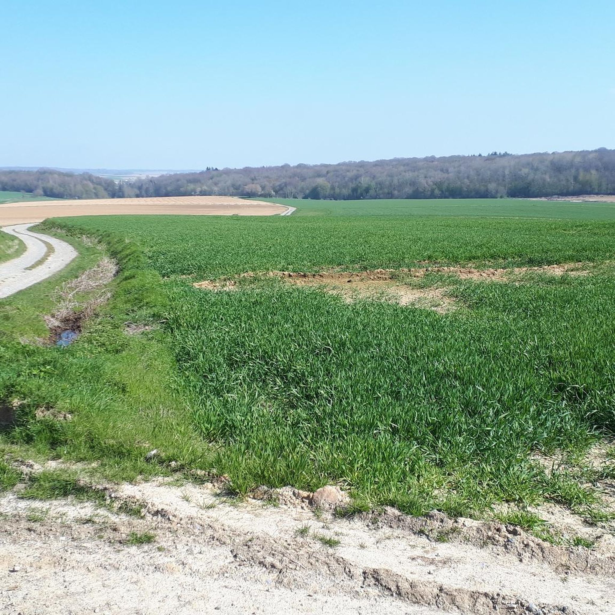
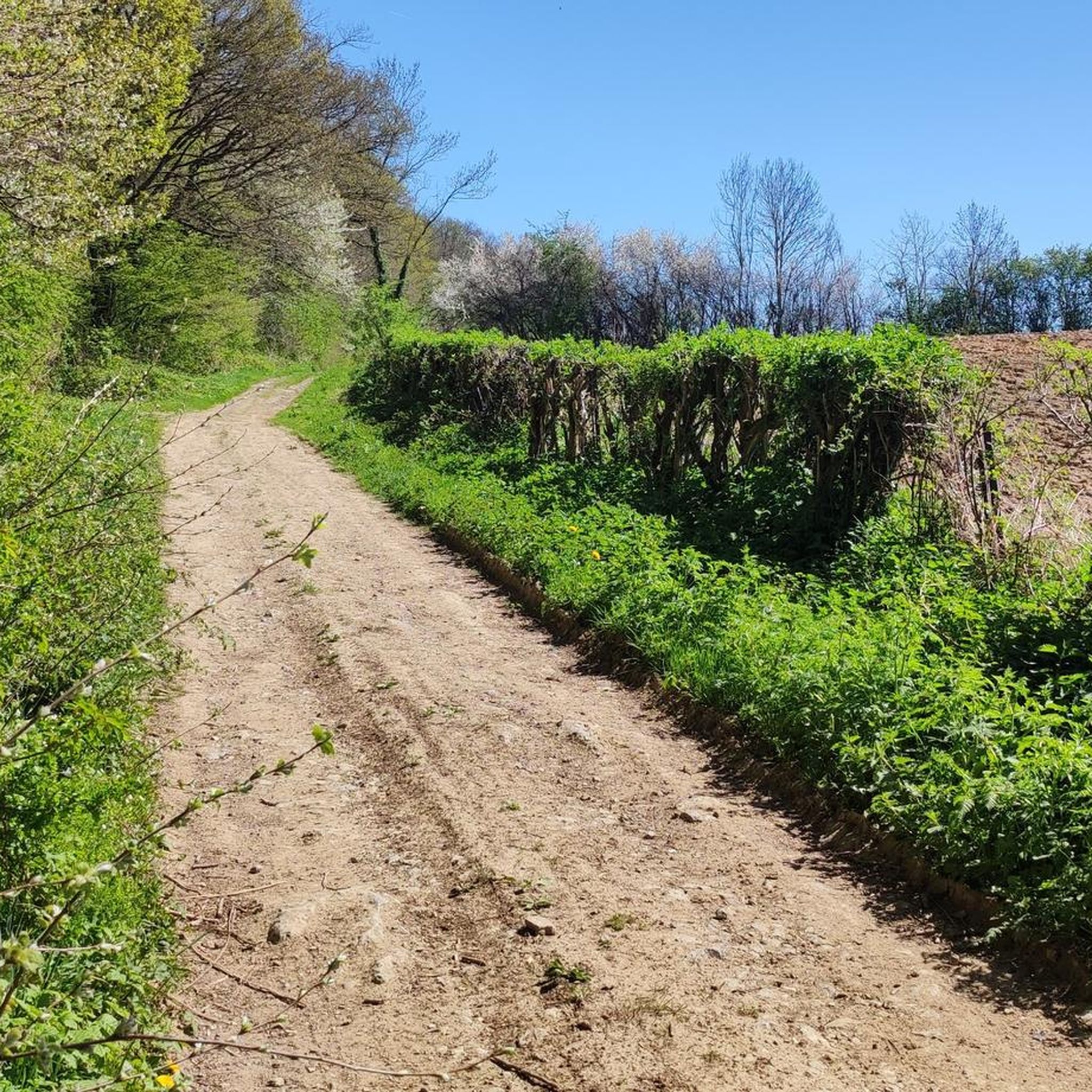
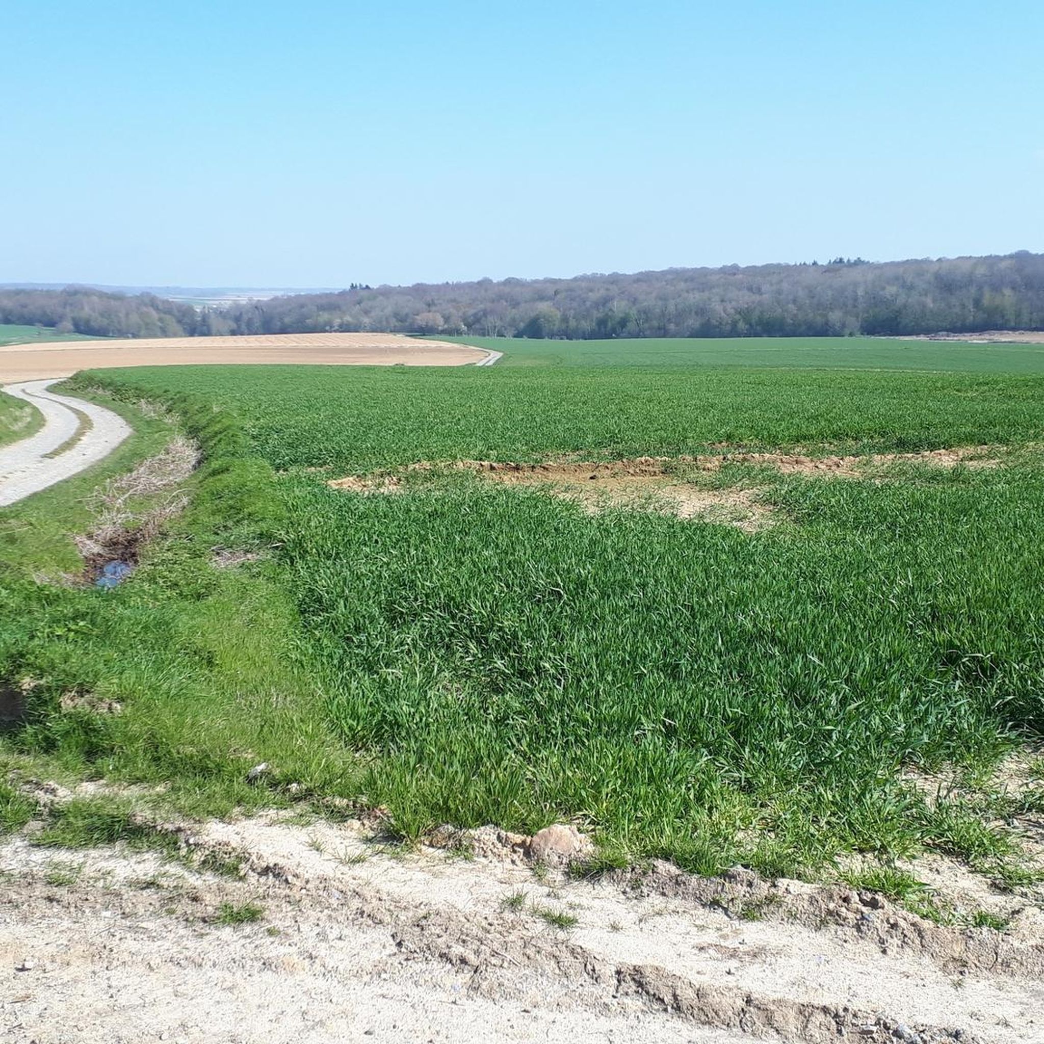
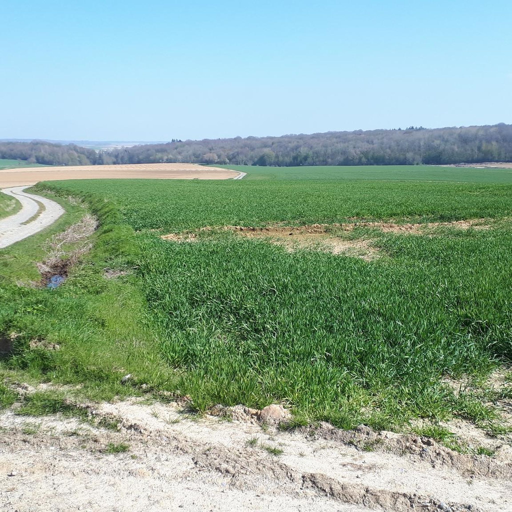
Gravel biking in Bois Communal De Solre Et De Bersillies offers varied terrain across a forest landscape. The region features wooded areas with notable relief, including the Hante valley, providing both physical challenge and scenic views. An extensive network of paths, including older roads historically used for timber extraction, now serves as gravel bike trails. Rivers like the Thure and the Solre also influence the topography, adding to the natural diversity.
Best gravel bike trails in Bois Communal De Solre…
Last updated: July 5, 2026
5.0
(1)
2
riders
26.4km
01:46
220m
220m
Moderate gravel ride. Good fitness required. Mostly paved surfaces. Suitable for all skill levels.
5.0
(1)
4
riders
36.6km
02:29
360m
360m
Moderate gravel ride. Good fitness required. Mostly paved surfaces. Suitable for all skill levels.

Sign up for free
9
riders
55.9km
03:21
300m
300m
Moderate gravel ride. Good fitness required. Mostly paved surfaces. Suitable for all skill levels.
19
riders
67.3km
03:59
480m
480m
Hard gravel ride. Very good fitness required. Mostly paved surfaces. Suitable for all skill levels.
2
riders
27.7km
02:04
240m
240m
Moderate gravel ride. Good fitness required. Mostly paved surfaces. Suitable for all skill levels.
Get access to more routes and recommendations from other explorers.
Sign up for free
Already have an account?
Our route recommendations are based on thousands of hikes, rides, and runs completed by other people on komoot.
Start today with a free account
Your next adventure awaits.
Login or Signup
Popular around Bois Communal De Solre Et De Bersillies
Tips from the Community


Old Abbey of Aulne, drafty and all. And beautiful, along the Sambre
1
0

Great RAVeL for walkers, runners, cyclists, etc.
0
0


Superb place worth a stop and then head towards Erquelinnes center; nice cafes and restaurants
0
0


Here you have a choice. Through the water or the little bridge that has steps.
1
0
Frequently Asked Questions
What kind of terrain can I expect on gravel bike trails in Bois Communal De Solre Et De Bersillies?
The Bois Communal De Solre Et De Bersillies offers a diverse landscape for gravel biking. You'll encounter extensive wooded areas with notable relief, including the valley of the Hante, providing both physical challenge and scenic views. Many routes utilize older roads, historically used for timber extraction, which now form an extensive network of gravel paths. The presence of rivers like the Thure and the Solre also influences the topography, adding to the natural diversity.
Are there gravel bike routes suitable for beginners or those looking for an easier ride?
Yes, the area offers routes for various ability levels. While some trails present more difficult challenges, there are several moderate options. For example, The Sambre at Solre-sur-Sambre – Erquelinnes Marina loop from Erquelinnes is a moderate 16.4-mile (26.4 km) trail that follows the Sambre river, offering a mix of riverside paths and forest sections suitable for a less strenuous ride.
How challenging are the gravel bike trails in Bois Communal De Solre Et De Bersillies?
The trails range from moderate to difficult. Most of the routes are classified as moderate, featuring undulating terrain and some elevation changes. There is at least one difficult route, such as the Erquelinnes Marina – Solre-sur-Sambre Castle loop from Erquelinnes, which is a 22.6-mile (36.4 km) path with more challenging climbs and varied terrain.
Can I find circular gravel bike routes in Bois Communal De Solre Et De Bersillies?
Yes, many of the gravel bike routes in the area are designed as loops, allowing you to start and finish in the same location. Examples include The Sambre at Solre-sur-Sambre – Erquelinnes Marina loop from Erquelinnes and the Towpath along the Sambre – Sambre Valley loop from Jeumont, which is a 26.2-mile (42.2 km) trail.
What natural features or landmarks can I see while gravel biking in Bois Communal De Solre Et De Bersillies?
You'll experience a beautiful forest landscape with varied terrain. Notable features include the valley of the Hante, traces of past quarry activity, and the influence of rivers like the Thure and the Solre. Some routes offer glimpses into the region's history, allowing you to 'play border hop on the traces of customs officers and smugglers.' You can also explore the Solre watershed in Obrechies, which features explanatory terminals on human impact and a bridge crossing.
Are there any historical points of interest along the gravel bike trails?
Yes, the region has historical significance. Some routes traverse areas with traces of past quarry activity. The Erquelinnes Marina – Solre-sur-Sambre Castle loop from Erquelinnes, for instance, passes historical points of interest. The area's old roads, once used for timber extraction or connecting villages, also offer a sense of its past.
What do other gravel bikers enjoy the most about gravel biking in Bois Communal De Solre Et De Bersillies?
The area is highly rated by the komoot community, with an average score of 4.5 stars. Reviewers often praise the dense woodlands, the undulating terrain that provides a good challenge, and the extensive network of historical paths that make for engaging rides. The variety of routes catering to different ability levels is also frequently appreciated.
Is Bois Communal De Solre Et De Bersillies suitable for long-distance gravel biking?
Yes, there are several longer routes available. For example, the Aulne Abbey Ruins – Aulne Abbey Ruins loop from Solre-sur-Sambre is a substantial 35.3-mile (56.8 km) moderate trail, offering a longer adventure through the region's diverse landscapes.
What is the best time of year for gravel biking in Bois Communal De Solre Et De Bersillies?
The forest paths are enjoyable in different weather conditions, but some sections are best experienced when dry. Spring and autumn generally offer pleasant temperatures and beautiful scenery with changing foliage. While possible in winter, be aware that conditions might be muddy or slippery, especially in areas with marked relief.
Are there options for family-friendly gravel biking in the Bois Communal De Solre Et De Bersillies?
While specific 'family-friendly' routes aren't explicitly highlighted, the presence of moderate trails and varied terrain suggests that some of the less challenging, shorter loop routes could be suitable for families with some biking experience. Always check the route details for distance and elevation before heading out with children.
Where can I find parking for gravel biking in Bois Communal De Solre Et De Bersillies?
While specific parking locations are not detailed in the route descriptions, starting points for many tours are often near towns or villages like Erquelinnes, Jeumont, Solre-sur-Sambre, or Labuissière. It is advisable to check local parking availability in these areas before your ride.
Are there any cafes or places to eat near the gravel bike trails?
The gravel bike trails are often accessible from or pass near towns and villages such as Erquelinnes, Jeumont, Solre-sur-Sambre, and Labuissière. These locations typically offer local amenities, including cafes, pubs, or small eateries where you can refuel before or after your ride.
Most popular routes in Bois Communal De Solre Et De Bersillies

Get inspired with the komoot mobile app


Explore more
Browse the best Gravel rides in other regions.
