The best gravel rides around Livaie
4.6
(16)
51
riders
8
rides
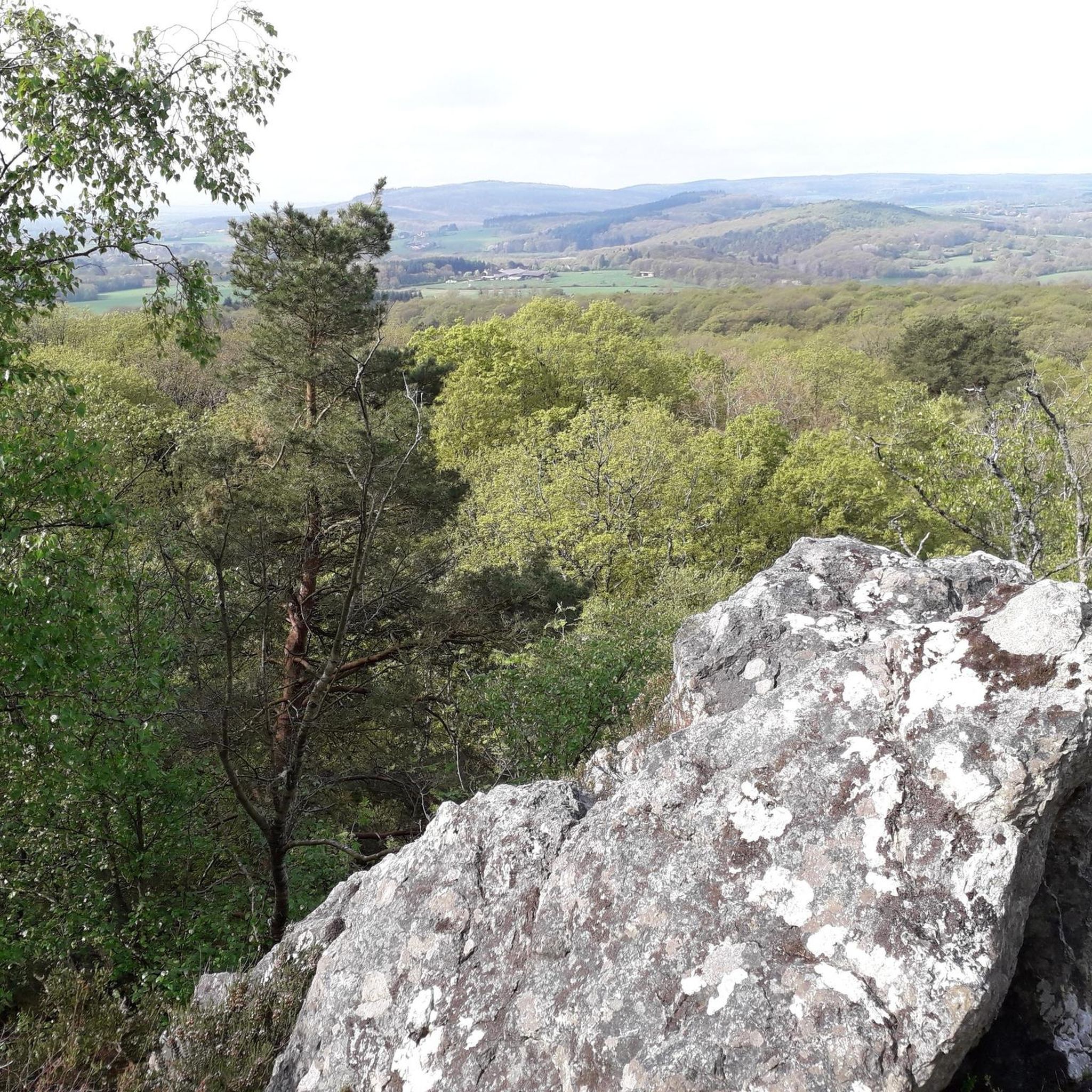
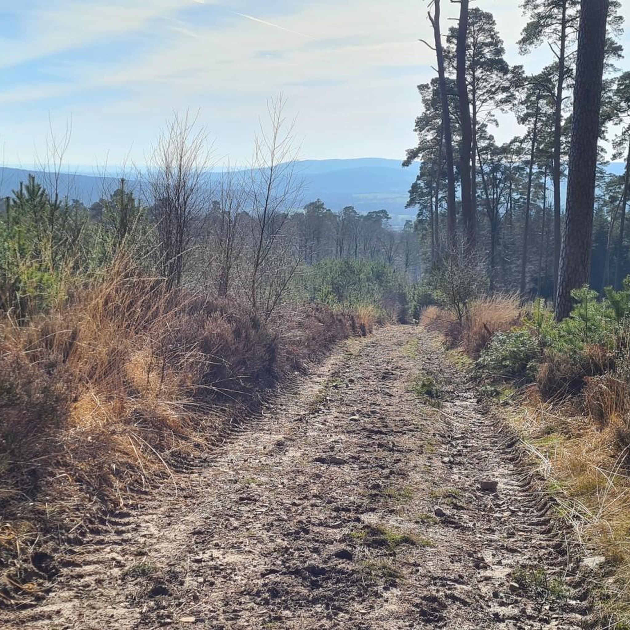
Gravel biking around Livaie offers diverse routes within the Orne department of Normandy, France. The region is characterized by expansive forests, undulating terrain, and the distinctive hedgerow landscape of the Bocage Normand. Situated within the Normandie-Maine Regional Natural Park, the area features a mix of forest tracks and paths with varying elevation changes, including the nearby Forêt d'Écouves and the higher Mont des Avaloirs.
Best gravel bike trails around Livaie
- The most popular gravel bike trail is Meridian beacon 0…
Last updated: July 11, 2026
5.0
(6)
19
riders
37.5km
02:00
280m
280m
Moderate gravel ride. Good fitness required. Mostly paved surfaces. Suitable for all skill levels.
4.3
(4)
15
riders
105km
05:36
730m
730m
Hard gravel ride. Very good fitness required. Mostly paved surfaces. Suitable for all skill levels.

Sign up for free
4.5
(6)
10
riders
Moderate gravel ride. Good fitness required. Mostly paved surfaces. Suitable for all skill levels.
2
riders
Hard gravel ride. Very good fitness required. Mostly paved surfaces. Suitable for all skill levels.
1
riders
29.7km
01:50
380m
380m
Moderate gravel ride. Good fitness required. Mostly paved surfaces. Suitable for all skill levels.
Get access to more routes and recommendations from other explorers.
Sign up for free
Already have an account?
Our route recommendations are based on thousands of hikes, rides, and runs completed by other people on komoot.
Start today with a free account
Your next adventure awaits.
Login or Signup

Tips from the Community

Magnificent, a must-see.
0
0

Riding up there by bike was quite strenuous, but the view from the top was worth the effort. It was well worth it.
0
0

It's beautiful and well-maintained. The driveway to the west rear gate reminds me of the book "The Great Maulne."
0
0

An endless false flat. Remember to carry water because there's nothing to refuel.
0
0

Beautiful 360 degree view
1
0

Located in Mayenne, Mont des Avaloirs is the highest point of the Armorican massif. It is part of the Normandy-Maine Regional Natural Park and enjoys the status of a Global Geopark. The belvedere, built in 1994 and covered with a magnificent colorful fresco, painted in 2019 by the Franco-British artist Seb Toussaint. It offers a 360° view of all the surrounding forests and peaks.
0
0

A very nice road bike.
0
0
Frequently Asked Questions
How many gravel bike trails are available around Livaie?
There are around 10 gravel bike trails available in the Livaie area, offering a variety of experiences for cyclists. These routes are highly rated by the komoot community, with an average score of 4.7 stars from 15 reviews.
What kind of terrain can I expect on gravel bike routes near Livaie?
The terrain around Livaie is diverse, characterized by expansive forests like the Forêt d'Écouves, undulating landscapes, and the distinctive hedgerow fields of the Bocage Normand. You'll find a mix of forest tracks and paths, with routes featuring significant elevation changes, especially towards the Mont des Avaloirs, the highest point in Western France.
Are there any challenging gravel bike routes for experienced riders?
Yes, Livaie offers several challenging routes. For instance, the Castle of the Dukes of Alençon – Couterne Castle loop from Lalacelle is a difficult 106.4 km trail, and the Basilica of Our Lady of Alençon – Carrouges Castle loop from Lalacelle is another difficult option spanning 84.7 km, both leading through varied terrain and forests.
What are some notable landmarks or viewpoints I can see along the gravel trails?
You can encounter several interesting landmarks and enjoy panoramic views. Highlights include the Carrouges Castle, a historic site, and the Mont des Avaloirs viewpoint, which offers extensive vistas. You might also pass by Le signal d'Écouves, a prominent point within the Forêt d'Écouves.
Are there any family-friendly gravel biking options in the Livaie area?
While specific 'easy' routes are not listed, many of the moderate trails within the Forêt d'Écouves or the less hilly sections of the Normandie-Maine Regional Natural Park could be suitable for families with some biking experience. Always check the route's distance and elevation profile to ensure it matches your family's ability.
Can I bring my dog on the gravel bike trails around Livaie?
The Normandie-Maine Regional Natural Park, where Livaie is located, generally welcomes dogs, often on a leash. When cycling through forests or natural areas, it's always best to keep your dog under control to protect wildlife and ensure the safety of other trail users. Check local signage for specific restrictions.
What is the best time of year for gravel biking in Livaie?
The region's climate suggests that spring, summer, and early autumn would be ideal for gravel biking. During these seasons, you'll experience pleasant temperatures and lush landscapes. The extensive forests provide welcome shade during warmer months, while autumn offers beautiful foliage.
Are there any circular gravel bike routes available?
Yes, many of the gravel routes around Livaie are designed as loops. For example, the popular Meridian beacon 0 – The Way to Happiness_TNE loop from Lonrai is a moderate 37.5 km circular trail exploring varied landscapes. Another option is the Castle of the Dukes of Alençon loop from Saint-Denis-sur-Sarthon, a 27.5 km moderate loop.
Where can I find parking for gravel bike trails near Livaie?
Given Livaie's location within the Normandie-Maine Regional Natural Park and its proximity to forests, parking is generally available at trailheads or in nearby villages. For specific routes, it's advisable to check the starting point on komoot for parking suggestions. Larger towns like Alençon or Bagnoles-de-l'Orne also offer parking facilities.
What do other gravel bikers enjoy most about Livaie?
The area is highly rated by the komoot community, with an average score of 4.7 stars. Reviewers often praise the diverse landscapes, from the quiet woodlands of the Forêt d'Écouves to the challenging climbs of Mont des Avaloirs, and the well-maintained tracks that make for an enjoyable gravel biking experience.
Is it possible to reach the gravel trails using public transport?
While Livaie itself is a smaller commune, public transport options exist in larger nearby towns. Alençon, for example, is a regional hub with train and bus connections. From there, you might need to cycle or arrange local transport to reach specific trailheads. Planning ahead is recommended if relying on public transport.
Are there any cafes or places to stop for refreshments along the routes?
Many gravel routes in the Livaie area pass through or near small villages and towns within the Normandie-Maine Regional Natural Park. These often have local cafes, bakeries, or small shops where you can refuel. Bagnoles de l'Orne, a spa town about 29 km away, offers more extensive amenities for a relaxing stop after a ride.
Most popular attractions around Livaie

Get inspired with the komoot mobile app


Explore more
Browse the best Gravel rides in other regions.
