The best walks and hikes around Saint-Hilaire-De-Gondilly
5.0
(1)
25
hikers
9
hikes
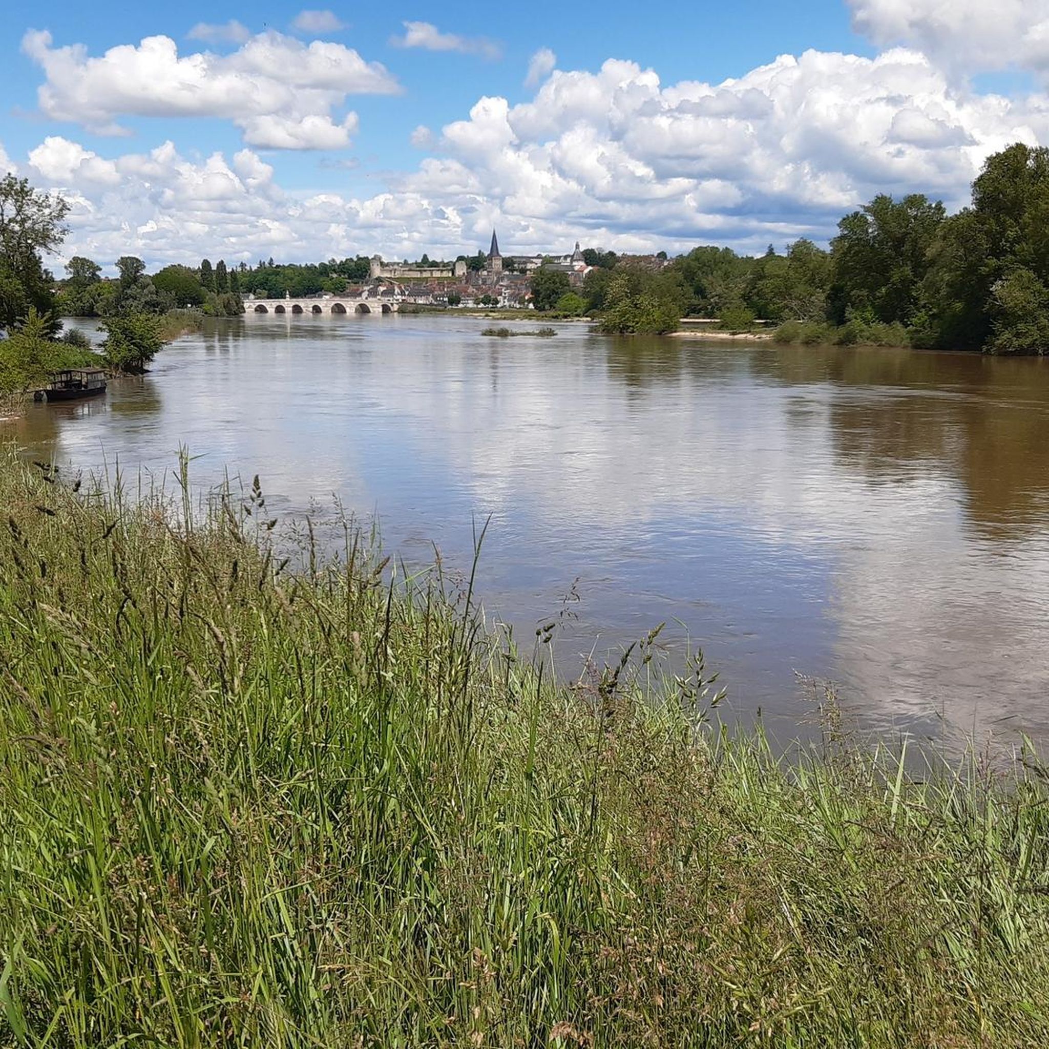
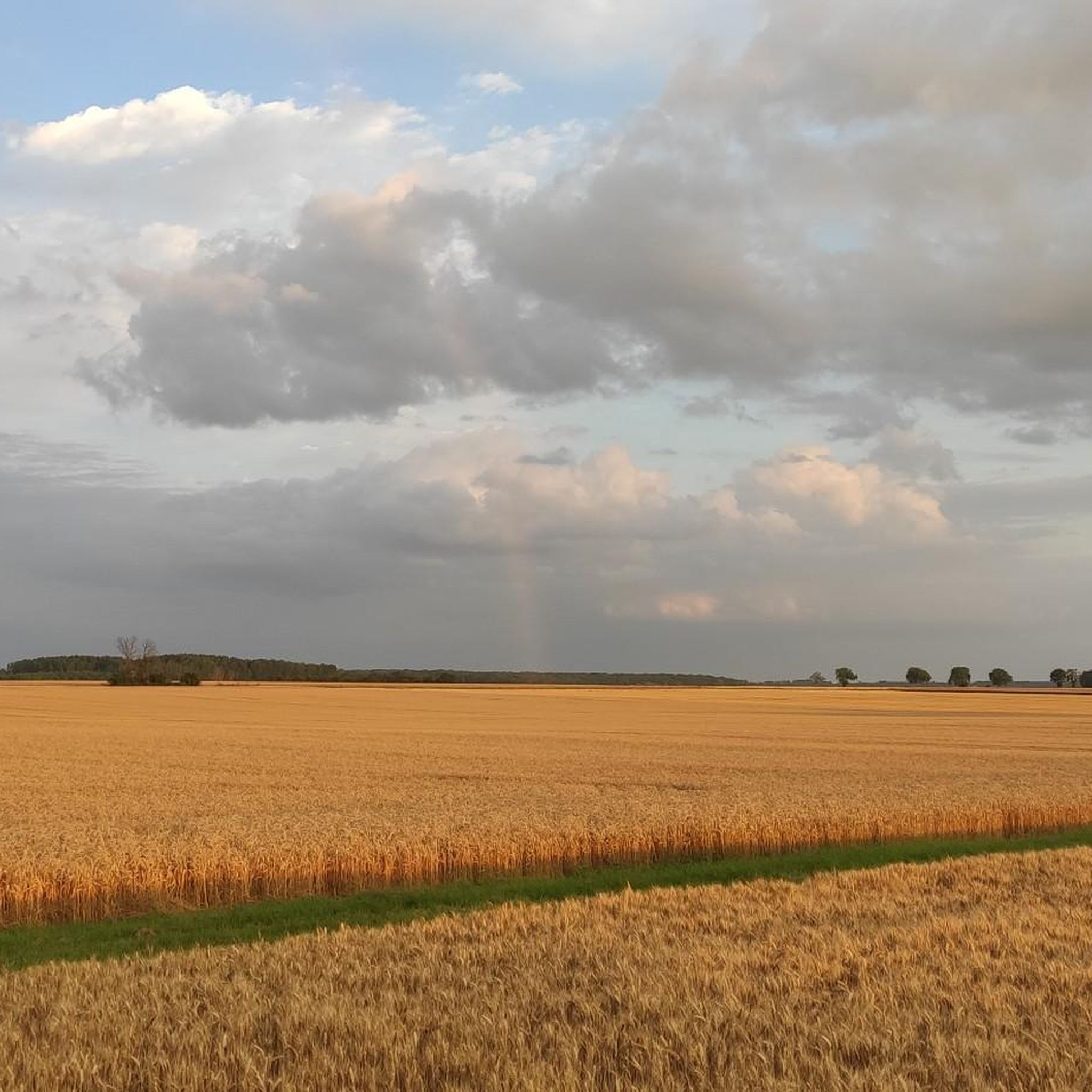
Hiking around Saint-Hilaire-De-Gondilly offers exploration of a rural commune in France's Centre-Val de Loire region. The landscape features a mix of agricultural lands, vast prairies, and pockets of forests. Terrain variations are gentle, with elevations ranging from 184 to 251 meters, and small watercourses like the Liseron, Andres, and Sainte Brigitte rivers meander through the area. This setting provides diverse scenery for outdoor activities.
Best hiking trails around Saint-Hilaire-De-Gondilly
- The most popular hiking route is Gravier Castle loop from La…
Last updated: July 10, 2026
6
hikers
9.16km
02:22
50m
50m
Moderate hike. Good fitness required. Easily-accessible paths. Suitable for all skill levels.
6
hikers
23.9km
06:09
110m
110m
Hard hike. Very good fitness required. Easily-accessible paths. Suitable for all skill levels.

Sign up for free
4
hikers
4.66km
01:13
30m
30m
Easy hike. Great for any fitness level. Easily-accessible paths. Suitable for all skill levels.
3
hikers
5.98km
01:30
10m
10m
Easy hike. Great for any fitness level. Easily-accessible paths. Suitable for all skill levels.
5.0
(1)
2
hikers
4.83km
01:15
20m
20m
Easy hike. Great for any fitness level. Easily-accessible paths. Suitable for all skill levels.
Get access to more routes and recommendations from other explorers.
Sign up for free
Already have an account?
Our route recommendations are based on thousands of hikes, rides, and runs completed by other people on komoot.
Start today with a free account
Your next adventure awaits.
Login or Signup


Tips from the Community

Very nice starting point to explore Nevers or Sancerre.
1
0

It's not an exceptional site but pretty all the same, however we were very disappointed by the rest of the route. The countryside is not great in this part of France, there are a lot of cars on the roads.
0
0


Beautiful town on the Way of St. James on the Loire
2
0

Charming little town, worth a stop!
0
0

A beautiful place. Enjoy the shade and relax...
0
0
It's a very nice place but there's nothing. A table or bench would be welcome
0
0
Frequently Asked Questions
What kind of terrain can I expect on hiking trails around Saint-Hilaire-De-Gondilly?
The terrain around Saint-Hilaire-De-Gondilly is characterized by a mix of agricultural lands, vast prairies, and pockets of forests. You'll find gentle variations in elevation, typically ranging from 184 to 251 meters, making for pleasant walks. Several small rivers like the Liseron, Andres, and Sainte Brigitte also meander through the landscape, adding to the scenic beauty.
Are there easy hiking options suitable for beginners or casual walkers?
Yes, Saint-Hilaire-De-Gondilly offers several easy hiking options. For example, the Gravier Castle loop from Le Chautay is an easy 4.5 km path, perfect for a shorter, relaxed walk. Another easy option is the Étang de la Garenne loop from Nérondes, which is about 4.8 km long.
What are some notable landmarks or attractions I might encounter on a hike?
While hiking, you might pass by historical sites or natural features. The Gravier Castle loop from La Guerche-sur-l'Aubois offers views of the rural surroundings of Gravier Castle. Additionally, the wider region features a rich heritage of traditional washhouses. You can also explore highlights like the Aubois Lock or the Marseilles-les-Aubigny marina, which are part of the local waterways network.
Are there any circular hiking routes available?
Yes, many of the trails around Saint-Hilaire-De-Gondilly are designed as circular routes. Examples include the Gravier Castle loop from La Guerche-sur-l'Aubois, the Gravier Castle loop from Le Chautay, and the Hiking loop from Les Iles de Marzy. These loops allow you to start and end at the same point, offering convenience for day trips.
What do other hikers say about the trails in Saint-Hilaire-De-Gondilly?
The hiking routes in Saint-Hilaire-De-Gondilly are highly rated by the komoot community, with an average score of 5.0 stars. Hikers often praise the tranquil countryside and the varied scenery of agricultural lands, prairies, and forests.
How many hiking trails are there in Saint-Hilaire-De-Gondilly?
There are 7 hiking routes documented on komoot for the Saint-Hilaire-De-Gondilly area, offering a range of options from easy walks to moderate trails.
Are there any longer or more challenging hikes in the area?
While there are no difficult trails, you can find moderate routes that offer a longer experience. The Gravier Castle loop from La Guerche-sur-l'Aubois is a moderate 9.2 km trail, typically taking around 2 hours 22 minutes. Another moderate option is the Nérondes loop from Nérondes, which is 9.1 km long.
What is the best time of year to go hiking in Saint-Hilaire-De-Gondilly?
The serene and picturesque setting of Saint-Hilaire-De-Gondilly, with its tranquil countryside and diverse natural features, makes it appealing for hiking throughout the warmer months. Spring and autumn offer pleasant temperatures and beautiful scenery, while summer provides longer daylight hours for extended exploration.
Are there any nearby attractions or places to visit after a hike?
Yes, the region offers several interesting attractions within a reasonable distance. You could visit the historic Abbey Fontmorigny, dating back to the 12th century, or the impressive Pont Canal du Guetin. For nature lovers, the renowned Parc Floral d'Apremont-sur-Allier is also nearby, offering meticulously landscaped gardens.
Can I find trails that follow along water features?
Yes, the landscape around Saint-Hilaire-De-Gondilly includes several small watercourses such as the Liseron, Andres, and Sainte Brigitte rivers. Some trails may follow these waterways, adding to the scenic beauty. You can also find highlights like the Cycle path along the Loire or the Greenway along the Canal Latéral de la Loire, which offer paths alongside larger bodies of water.
What is the general elevation change on hikes in this region?
The terrain in Saint-Hilaire-De-Gondilly offers gentle variations in elevation. Hikes typically involve mild climbs and descents, with elevations ranging from 184 to 251 meters. This makes most trails accessible and enjoyable without significant strenuous ascents.
Most popular routes around Saint-Hilaire-De-Gondilly
Most popular attractions around Saint-Hilaire-De-Gondilly

Get inspired with the komoot mobile app


Explore more
Browse the best Hikes in other regions.
