The best gravel rides around Saulnot
4.0
(2)
17
riders
6
rides
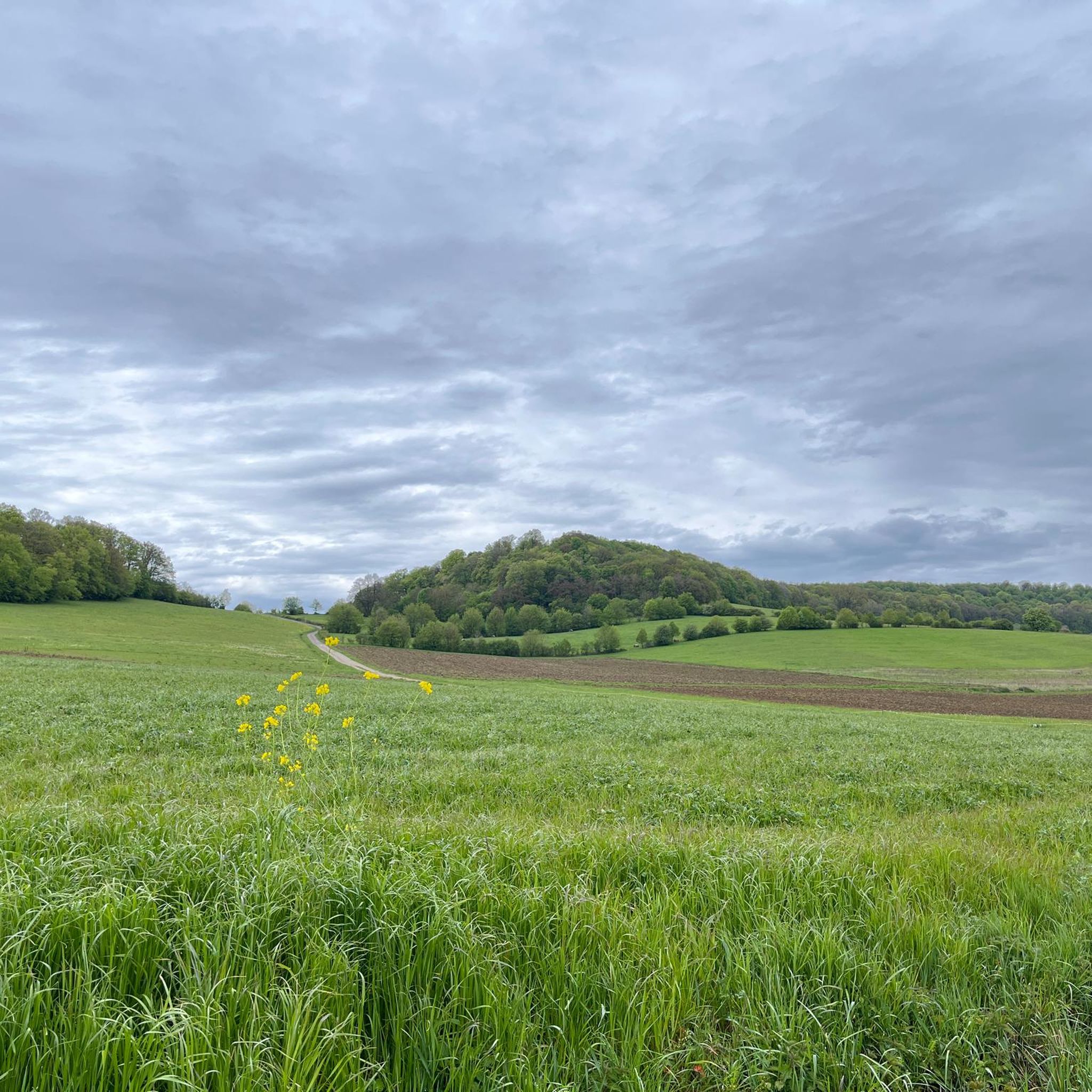
Gravel biking around Saulnot, located in the Haute-Saône department of Burgundy-Franche-Comté, offers varied terrain suitable for cycling. The region is characterized by hilly and wooded landscapes, with altitudes ranging between 324 and 522 meters. It features forest tracks and country roads through the pre-Jura hills, providing diverse routes for gravel bikers. The area's natural composition includes significant forest areas and marshes, contributing to varied scenery.
Best gravel bike trails around Saulnot
- The most popular gravel bike trail is Rhine-Rhone Canal – Le Doubs loop from Lougres, a 28.0 miles (45.0 km) trail that takes 3 hours 9 minutes to complete. This moderate route features ascents through the local landscape.
- Another top favourite among local gravel bikers is Rhine-Rhone Canal – Bike path along the Doubs loop from Accolans, a difficult 89.8 miles (144.5 km) path. This route follows the Doubs, offering extensive views along the canal.
- Local gravel bikers also love the Four Ends Boundary Stone – Super directional cycle path! loop from Montenois, a 27.4 miles (44.0 km) trail leading through wooded hills, often completed in about 3 hours 32 minutes.
- Gravel biking around Saulnot is defined by hilly terrain, dense woodlands, and country roads, with options for different ability levels. The network includes routes ranging from moderate to difficult.
- The routes in Saulnot are highly rated by the komoot community with an average score of 4.75 stars from 8 reviews. More than 90 gravel bikers have used komoot to explore Saulnot's varied terrain.
Last updated: July 10, 2026
3.0
(1)
3
riders
27.1km
01:39
290m
290m
Moderate gravel ride. Good fitness required. Mostly paved surfaces. Suitable for all skill levels.
2
riders
56.8km
03:57
760m
760m
Hard gravel ride. Very good fitness required. You may need to push your bike for some segments of this route.

Sign up for free
2
riders
62.1km
04:17
740m
740m
Hard gravel ride. Very good fitness required. Mostly paved surfaces. Suitable for all skill levels.
3
riders
34.0km
02:04
420m
420m
Moderate gravel ride. Good fitness required. Mostly paved surfaces. Suitable for all skill levels.
2
riders
25.2km
01:42
370m
370m
Moderate gravel ride. Good fitness required. Mostly paved surfaces. Suitable for all skill levels.
Our route recommendations are based on thousands of hikes, rides, and runs completed by other people on komoot.
Start today with a free account
Your next adventure awaits.
Login or Signup
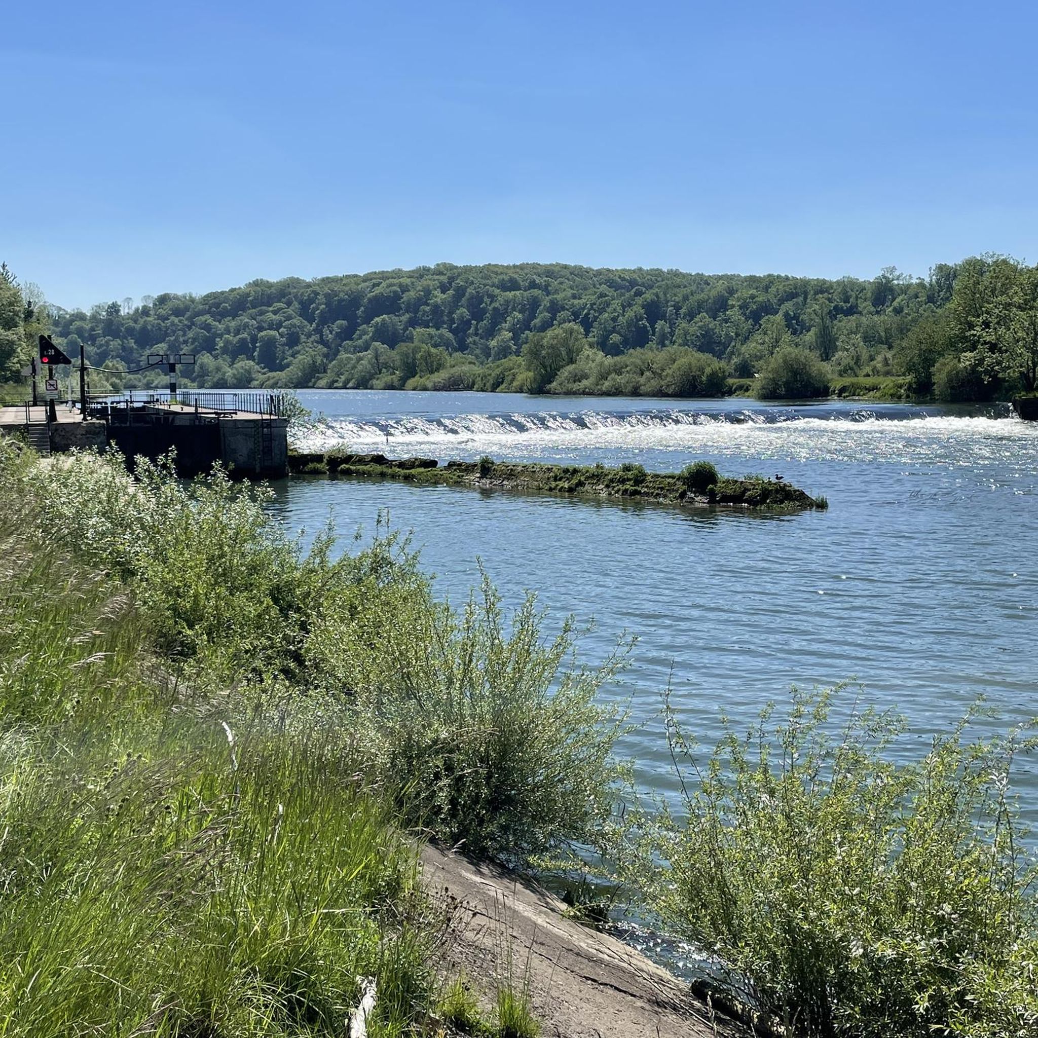
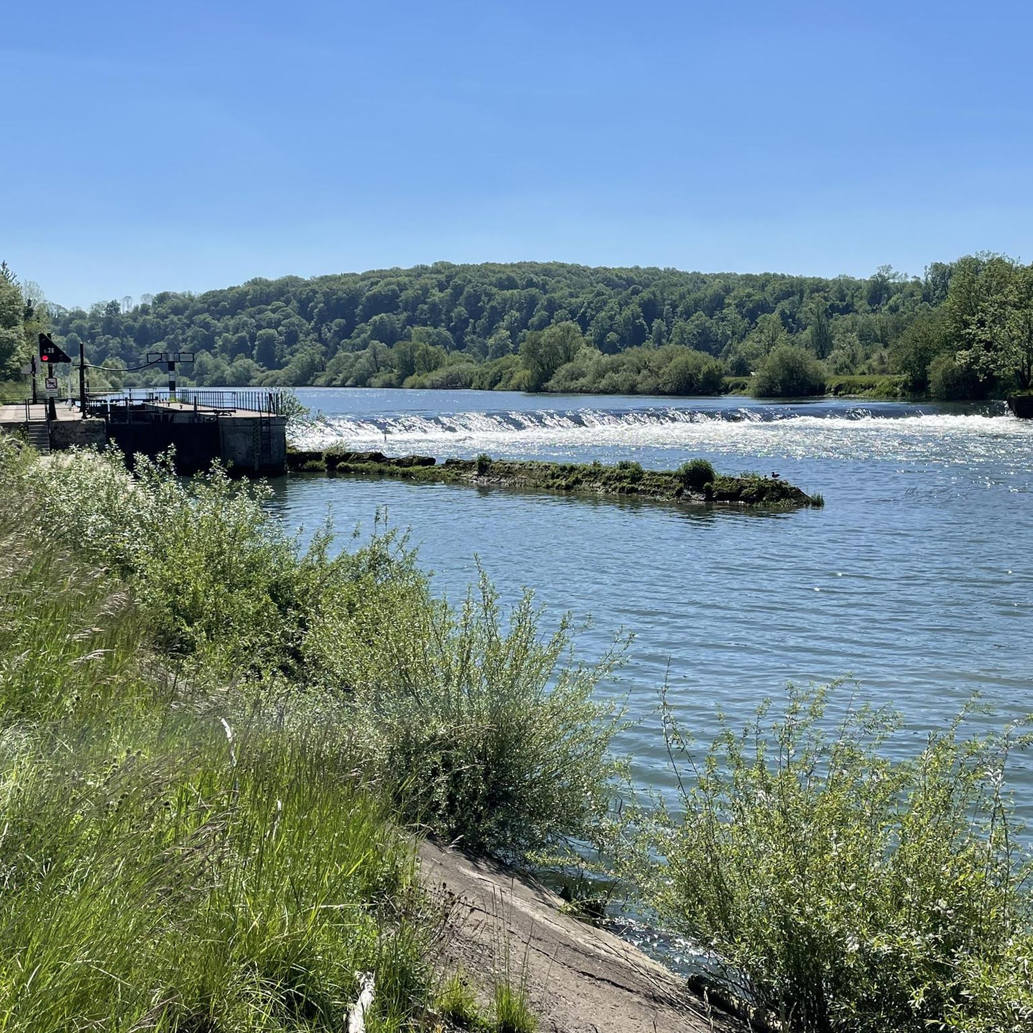
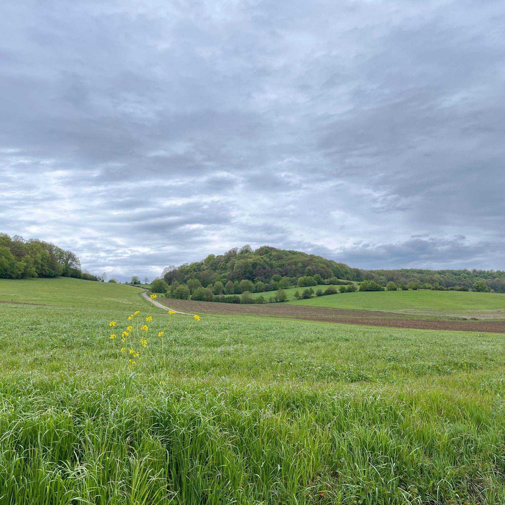
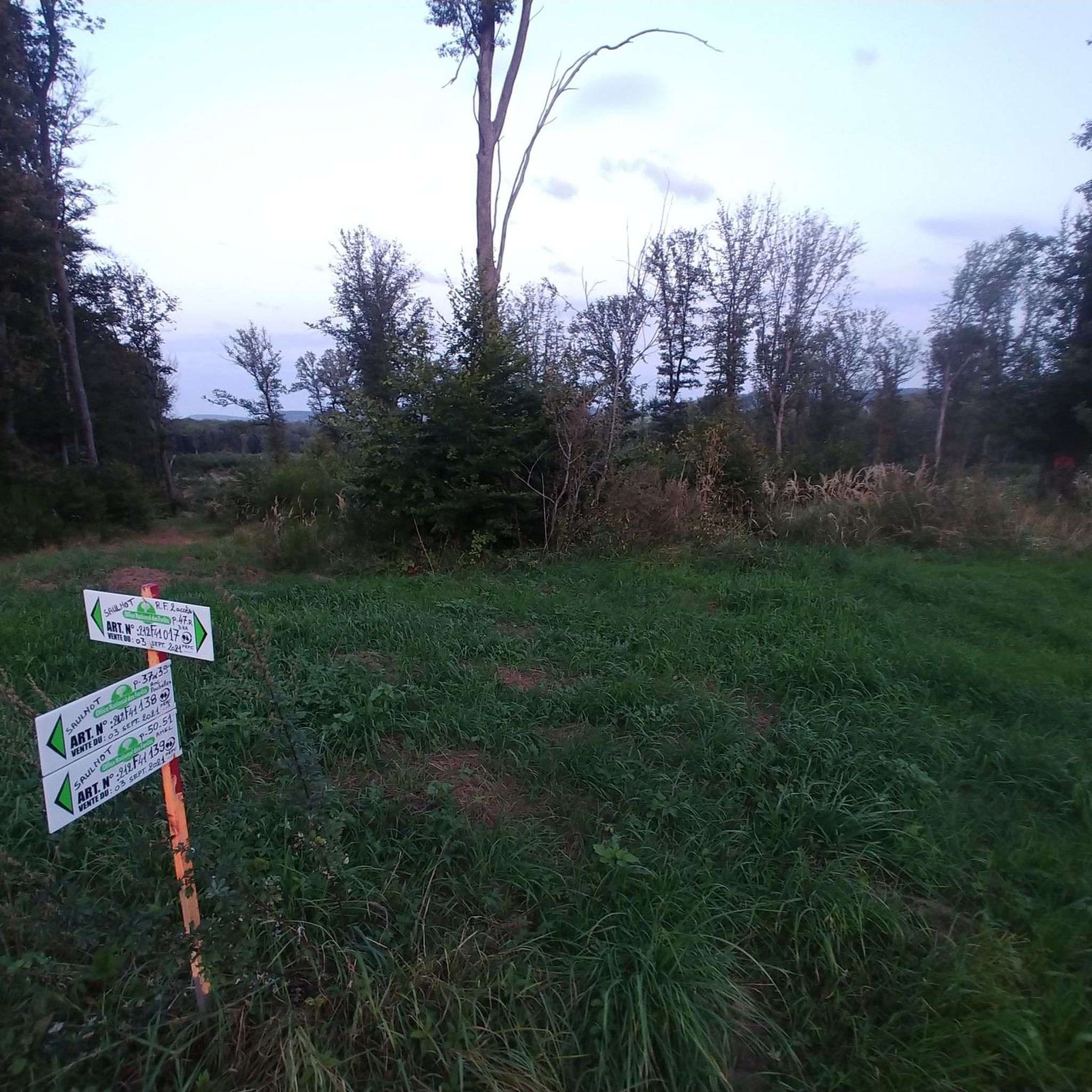
Tips from the Community

Trail in good condition, you can do plenty of activities (walk, ride, bike, etc.), I recommend it
0
0

nice tour along chanels and rivers.. for now from Mulhouse to Besançon... and further... until Nevers
0
0

Very beautiful cave to see at the bend in the main path near Villers sous Saulnot
0
0

very beautiful route!!! drive slowly!! watch out for pedestrians
0
0


Memorial to the 8 victims of the German Gestapo, shot in 1944 during the Second World War, and buried here. The memorial stone and information board are on a beautiful shaded dirt road in the forest.
3
1
Frequently Asked Questions
How many gravel bike trails are available around Saulnot?
The komoot community has mapped 8 gravel bike routes around Saulnot, offering a good variety for exploration. These routes range from moderate to difficult, ensuring options for different skill levels.
What kind of terrain can I expect on gravel bike trails near Saulnot?
Saulnot's gravel trails feature a mix of hilly and wooded terrain, characteristic of the pre-Jura hills. You'll encounter forest tracks and country roads, with altitudes varying between 324 and 522 meters, providing both challenging climbs and scenic descents through significant forest areas and marshes.
Are there any family-friendly gravel bike trails in the Saulnot area?
While many routes in Saulnot involve hilly terrain, the region's diverse landscape means there are options that can be adapted for families. For a moderate route that offers a good experience without extreme difficulty, consider the Rhine-Rhone Canal – Le Doubs loop from Lougres, which is 28.0 miles (45.0 km) long.
What are some notable attractions or viewpoints along the gravel bike routes?
While cycling, you might encounter various points of interest. Near some routes, you can find natural and historical sites such as L'Isle-sur-le-Doubs, the Mont Vaudois Fort, or the Gonvillars Cave. The region also features several lakes and water bodies like the Champagney Dam and Réchal Pond, which can offer scenic views.
Are there any long-distance gravel routes near Saulnot?
Yes, for those seeking a longer challenge, the Rhine-Rhone Canal – Bike path along the Doubs loop from Accolans is a difficult 89.8 miles (144.5 km) path. This route follows the Doubs, offering extensive views along the canal and is suitable for experienced gravel bikers looking for an extended adventure.
What is the best time of year for gravel biking in Saulnot?
The best time for gravel biking in Saulnot is generally during spring, summer, and early autumn. These seasons offer more favorable weather conditions, making the hilly and wooded trails more enjoyable. Winters can be challenging due to colder temperatures and potentially wet or icy conditions on unpaved paths.
Are there circular gravel bike routes available around Saulnot?
Yes, many of the gravel bike routes around Saulnot are designed as loops, allowing you to start and end at the same point. For example, the Four Ends Boundary Stone – Super directional cycle path! loop from Montenois is a popular circular trail leading through wooded hills.
What do other gravel bikers enjoy most about gravel biking in Saulnot?
The area is highly rated by the komoot community, with an average score of 4.75 stars from 8 reviews. Reviewers often praise the diverse terrain, the scenic beauty of the wooded hills, and the variety of routes available, from moderate to challenging, that cater to different preferences.
Where can I find parking for gravel biking in Saulnot?
While specific parking areas for gravel bikers are not explicitly detailed, Saulnot is a commune with various access points. It's advisable to look for public parking in the village center or near the start points of specific routes. Many routes also begin from nearby towns like Lougres, Accolans, or Montenois, where parking facilities are typically available.
Can I bring my dog on the gravel bike trails in Haute-Saône?
Generally, dogs are allowed on many trails in the Haute-Saône region, especially on public paths and forest tracks, provided they are kept under control, often on a leash. However, specific regulations can vary by municipality or protected natural areas. Always check local signage or park rules before heading out with your dog.
Are there any gravel routes that follow canals or rivers?
Yes, the region offers routes that utilize the extensive waterways. The Malsaucy cycling link – Lac du Malsaucy loop from Échavanne is a moderate route that includes sections near water bodies, providing a different cycling experience compared to the hilly forest trails.
What are the typical distances and durations for gravel rides in Saulnot?
Gravel rides in Saulnot vary significantly. You can find routes like the Rhine-Rhone Canal – Le Doubs loop from Lougres, which is about 28.0 miles (45.0 km) and takes around 3 hours, or longer, more challenging options such as the Rhine-Rhone Canal – Bike path along the Doubs loop from Accolans, spanning 89.8 miles (144.5 km) and requiring a full day of riding.
Most popular attractions around Saulnot

Get inspired with the komoot mobile app


Explore more
Browse the best Gravel rides in other regions.
