Top 20 Mountain Passes in the Pitztal
Best mountain passes in the Pitztal offer diverse high-alpine experiences within Tyrol, Austria. The region features a landscape of majestic mountains, glaciers, and high-altitude trails. These routes provide access to various valleys and mountain regions, catering to different levels of hiking experience. Pitztal is known for its challenging alpine crossings and scenic viewpoints.
Best mountain passes in the Pitztal
- The most popular mountain passes is High-Altitude Panorama Trail Tiefenbach–Vent, a trail that offers wonderful views of surrounding mountain peaks.…
Last updated: August 19, 2026
High-Altitude Panorama Trail Tiefenbach–Vent
Highlight (Segment) • Trail
Translated by Google •
Tip by

Pitztal Col
Highlight • Mountain Pass
Translated by Google •
Tip by

Sign up now to discover places like this
Get recommendations on the best single tracks, peaks, & plenty of other exciting outdoor places.
Sign up for free
Descent from Pitztaler Jöchl
Highlight • Trail
Translated by Google •
Tip by
Madatschjoch (3,030 m)
Highlight • Mountain Pass
Translated by Google •
Tip by

Felderjöchl
Highlight (Segment) • Mountain Pass
Translated by Google •
Tip by

Rosi-Mittermeier Tunnel
Highlight (Segment) • Structure
Highest road tunnel in Europe
Translated by Google •
Tip by

Rifflsee–Valley Trail Hike
Highlight • Trail
Translated by Google •
Tip by

Rettenbachferner Pass Summit (2,798 m)
Highlight • Mountain Pass
Translated by Google •
Tip by

Steinbockjöchl
Highlight • Mountain Pass
Translated by Google •
Tip by

View of the Rettenbach Glacier and the Mittelberg Glacier from Rettenbachjoch
Highlight • Viewpoint
Translated by Google •
Tip by

Sign up for free to discover even more mountain passes in the Pitztal.
Sign up for free
Already have an account?
Start today with a free account
Your next adventure awaits.
Login or Signup
Popular around Pitztal
#Winterlove — 14 tips for your winter adventure in Austria
Starkenberg Panorama Trail – Lakes, gorges and noble paths
Kaunergrat circular hike in Austria – a dream for experienced mountaineers
4 romantic huts high above the Ötztal

E5 – Hiking across the Alps

Magnificent mountain biking on Austria's alpine pastures
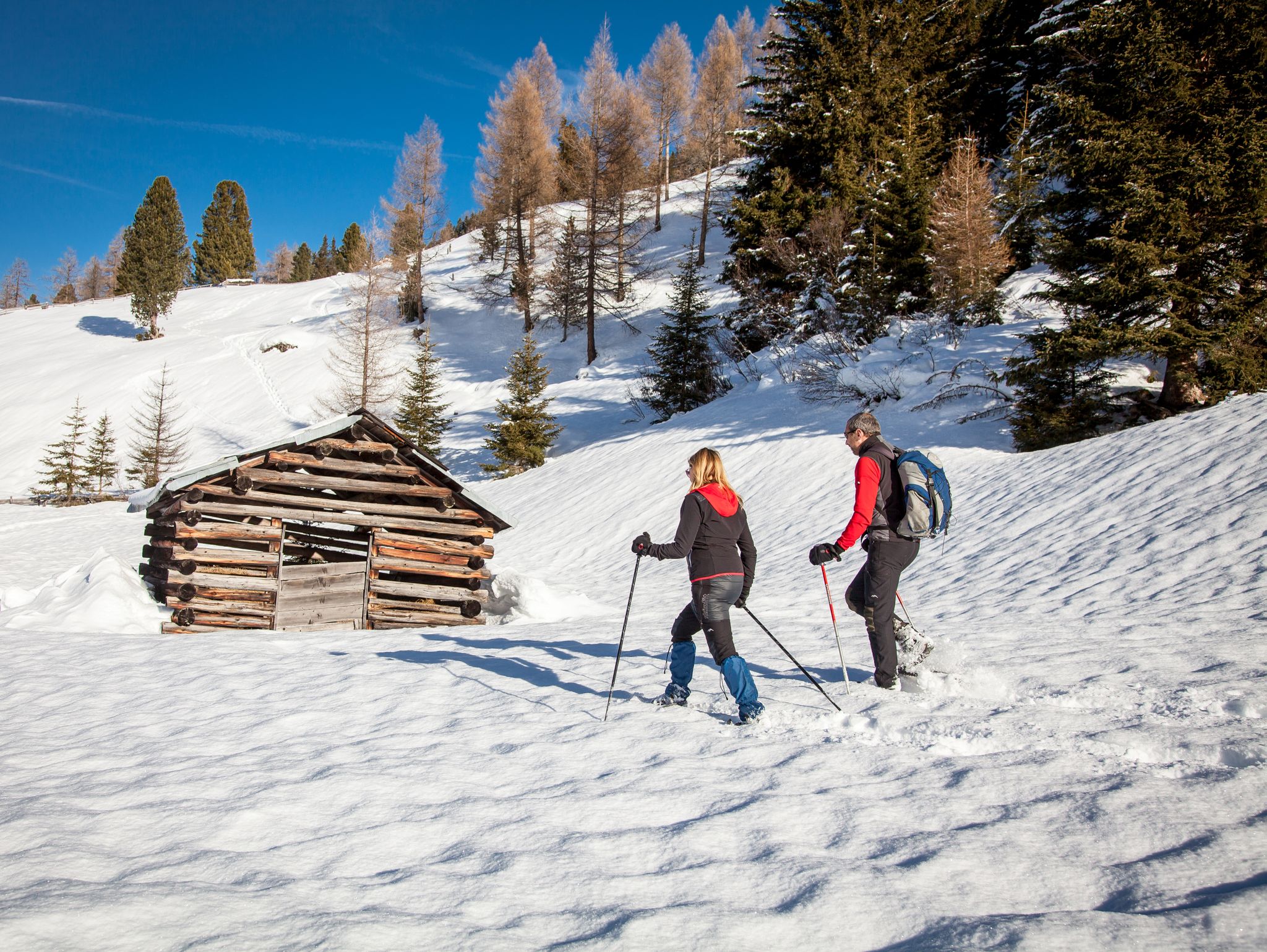
Banish the winter blues – the most beautiful winter routes in the Pitztal valley
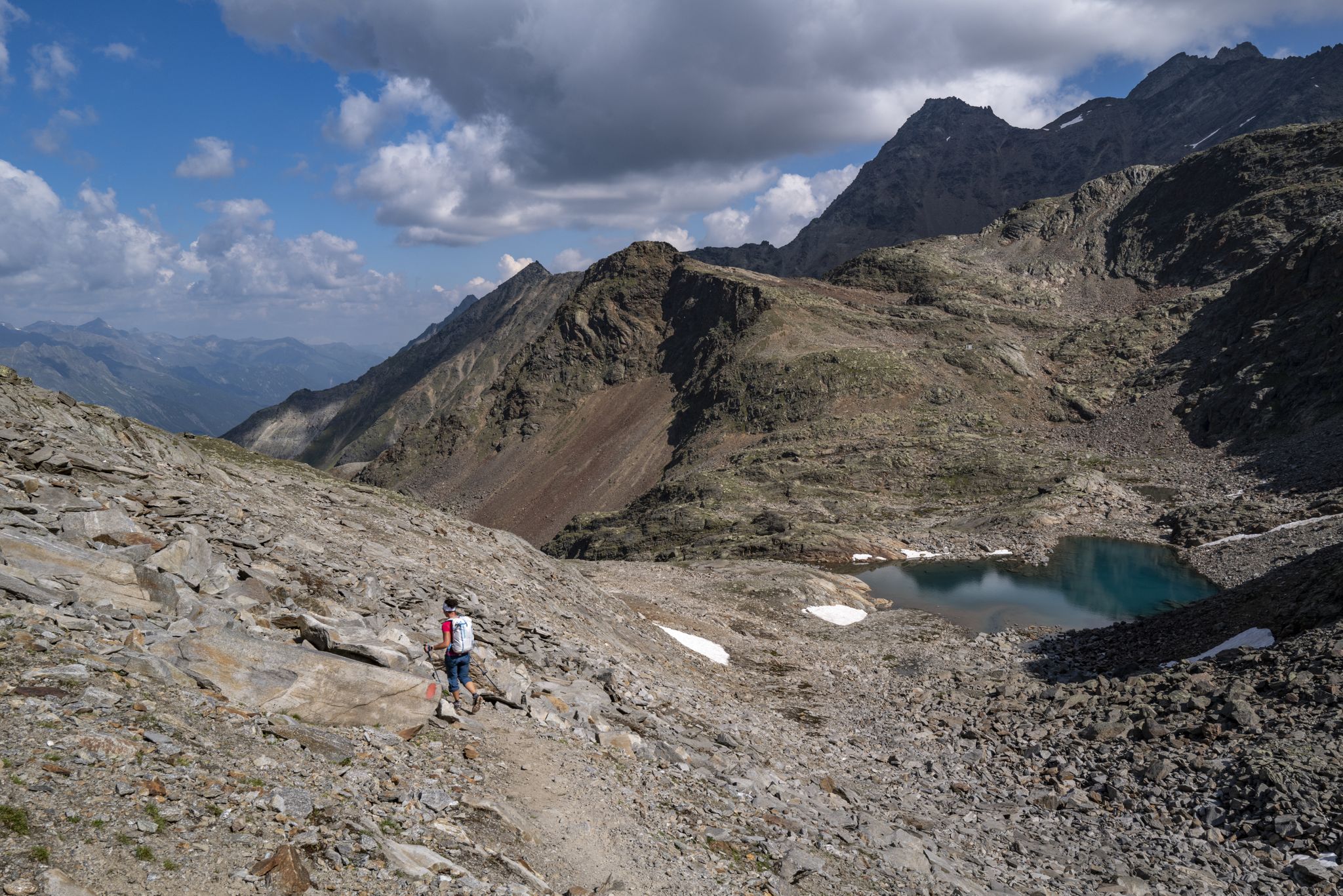
An adventure for true mountain enthusiasts – the Ötztal Trek
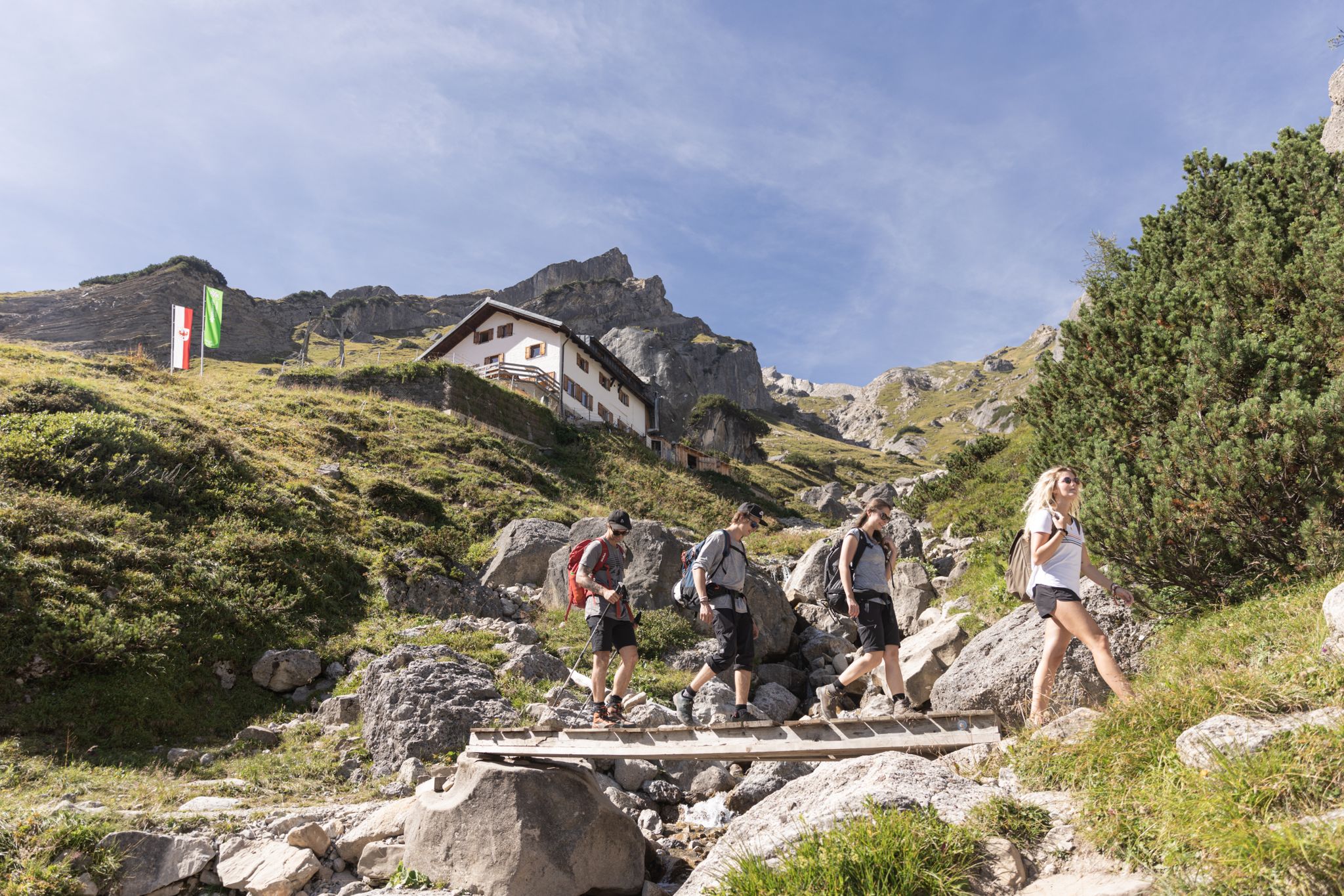
Eight enjoyable hut Tours in Austria’s Imst outdoor region
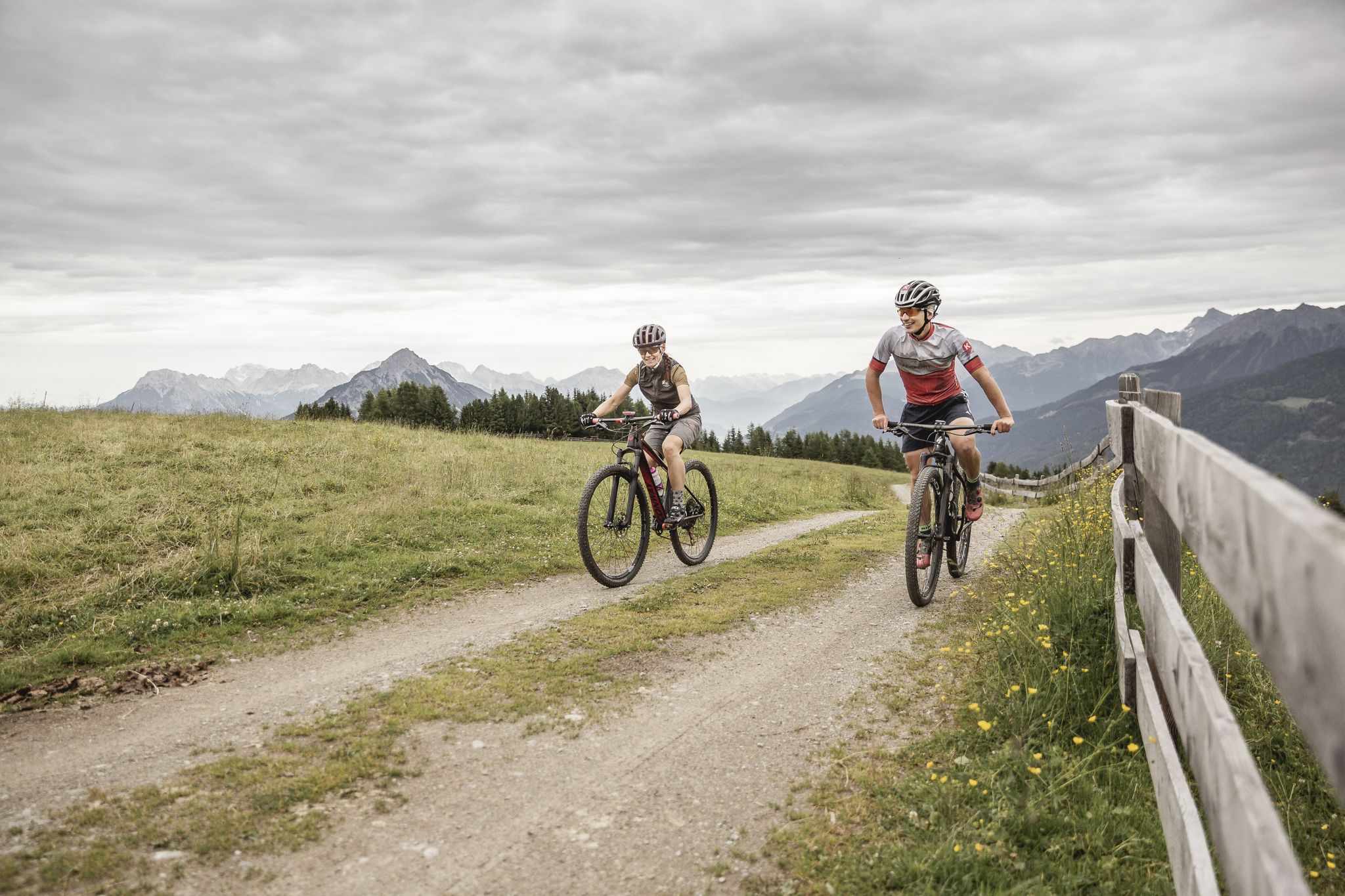
For two-wheeling fans — five MTB Tours in Austria’s Imst region
Other adventures in the Pitztal


Tips from the Community

From the Rettenbach Glacier, it goes up with a slight incline to the Tiefenbach Glacier exit. In the picture "Entrance Rettenbach Glacier..." you can vaguely make out the exit, a small white dot :-). I rode the route on May 29, 2026 with a gravel bike and the outward journey was due to the tunnel temperatures. However, the return journey was 'ice-cold' and it was still pitch dark; so no ceiling lighting yet ;-( . Even with a bicycle lamp, you could hardly see anything - so always 'aim for' the exit :-D . There are small, slight unevennesses - but no potholes, so a 'blind crossing' works quite well. - The highest point is then directly at the exit to the Tiefenbach Glacier, around 2,839m. I needed about 15 minutes for the route. So have fun (it's also possible with a road bike, I had a gravel bike, but with race equipment).
1
0

Reachable from the Kaunergrathütte within 1 hour
0
0

Please note: The descent from the Pitztaler Jöchl to the Rettenbach Glacier Cable Car has been rerouted. No longer follow the route as on komoot.
0
0

Beautiful views of the White Lake and all the surrounding peaks. The ascent from the lake is steep, and the descent also requires surefootedness.
0
0

You pass this spot on the way to the summit. The route via the Kaunergrat Hut is more pleasant.
0
0

The tour can be started south through the forest, or north over the bare mountain. With an outside temperature of 25 degrees Celsius, we chose the northbound route. A trip through the forest would have been better in this weather.
0
0

Crossing the Pitztaler Jöchl is clearly one of the highlights of crossing the Alps on the E 5. A head for heights and surefootedness are essential. Weatherproof clothing - even in summer, temperatures here at 2,995 m are often around freezing.
1
0

Rockier terrain awaits you at the Pitztaler Jöchl, both on the ascent and the descent. Many passages are secured. If there is (still) snow and you can no longer see any markings, you should be careful. Be aware that the ground can slip if you move on the scree.
3
0
Frequently Asked Questions
What are some of the most scenic mountain passes in the Pitztal?
The Pitztal offers numerous scenic passes. The High-Altitude Panorama Trail Tiefenbach–Vent is known for its wonderful views of surrounding mountain peaks. Another highlight is Pitztal Col, which provides a fantastic view of the surrounding glacier world and peaks. For those seeking glacier views from a road, the Rettenbachferner Pass Summit (2,798 m) offers very nice climbs with great glacier vistas.
Are there challenging high-alpine crossings in the Pitztal for experienced hikers?
Yes, the Pitztal is renowned for its challenging high-alpine crossings. The Madatschjoch (3,030 m) offers a magnificent ridge crossing with sections requiring manual work and a short via ferrata. The Cottbus High Trail, leading from Rifflsee to the Kaunergrathütte, also demands prior alpine experience, sure-footedness, and a good head for heights, making it a demanding alpine experience.
What kind of terrain can I expect on mountain passes like Pitztal Col?
On passes like Pitztal Col (Pitztaler Jöchl), you can expect rocky terrain with many passages secured to aid hikers. It's crucial to be cautious if there's snow, as markings might be obscured, and be aware of potential scree movement. Good fitness and sure-footedness are essential for these routes.
Are there any family-friendly options for experiencing the high mountains in Pitztal?
While many passes are challenging, areas like Rifflsee offer family-friendly options. The Rifflsee cable car provides easy access to 2,232 meters, where you can enjoy a serene circular hiking trail around the lake. This area also features climbing gardens and various trails suitable for different fitness levels, and even Europe's highest raft ride.
What are the best ways to access the high-alpine regions and passes in Pitztal?
The Pitztal Glacier and Rifflsee areas serve as crucial gateways. The Pitztal Glacier offers comfortable access to elevations up to 3,440 meters via the Gletscherexpress (underground funicular) and Wildspitzbahn (cable car). Similarly, the Rifflsee cable car takes visitors directly to the hiking area around the picturesque Rifflsee, making high-altitude trails more accessible.
What outdoor activities can I do near the mountain passes in Pitztal?
Beyond hiking the passes themselves, the Pitztal offers a wide range of outdoor activities. You can explore numerous running trails, including difficult loops around Riffelsee, or embark on road cycling routes like those featuring the Hahntennjoch. Gravel biking is also popular, with routes like the Weissensee (Tyrol) loop. For more details, check out the guides for Running Trails in the Pitztal, Road Cycling Routes in the Pitztal, and Gravel biking in the Pitztal.
What is the Pitztal High Trail and what does it offer?
The Pitztal High Trail, particularly the section over the Geigenkamm, offers an immersive experience in wild mountain scenery. It includes routes like the St. Leonhard High Trail, which is a difficult, nine-hour hike with rope-secured sections, leading to places like the Ludwigsburger Hütte and the magnificent Luibisböden. It provides impressive views of the Kaunergrat ridge and peaks like Gsallkopf and Rofelewand.
Are there any mountain huts or places to rest near the passes?
Yes, several mountain huts are accessible from the passes and high-altitude trails. For example, the St. Leonhard High Trail leads to the Ludwigsburger Hütte, offering a chance to rest and enjoy magnificent vistas. The Cottbus High Trail leads to the Kaunergrathütte, and the Fulda High Trail connects to the Taschachhaus. These huts provide essential services for hikers traversing the high mountains.
What unique natural features can I see when visiting Pitztal's mountain passes?
The Pitztal's mountain passes offer access to stunning natural features. You can witness the vast glacier world from Pitztal Col and the Rettenbachferner Pass Summit. The region is home to Austria's highest accessible mountain lake, Rifflsee, and the Pitztal Glacier, Austria's highest glacier, providing panoramic views of over 50 three-thousand-meter peaks.
What do visitors enjoy most about the mountain passes in Pitztal?
Visitors frequently praise the breathtaking panoramic views and the sense of achievement from navigating challenging alpine terrain. The opportunity to experience the glacier world up close, the well-secured passages on rocky trails, and the wild, remote mountain scenery are often highlighted. Many appreciate the combination of demanding hikes with accessible cable car options to reach high-altitude starting points.
Is the Fulda High Trail suitable for combining with other activities?
Yes, the Fulda High Trail, which connects Rifflsee to the Taschachhaus, is described as a wonderful tour for hiking enthusiasts. It's accessible via the Rifflseebahn cable car, making the initial ascent easier, and can be combined with a bike tour for the descent, offering a versatile outdoor experience.
What is the highest point accessible by road near the Pitztal mountain passes?
While not strictly within the Pitztal valley itself, the highest road point in the Alps is located near the Rettenbachferner Pass Summit (2,798 m). It's approximately 2km further on the Tiefenbachferner, after a tunnel, reaching an elevation of 2829m. This offers incredible glacier views and is definitely worth including in your visit.
Most popular routes in the Pitztal
Most popular attractions in the Pitztal

Get inspired with the komoot mobile app


Didn’t find what you were looking for?
Find even more amazing mountain passes in the Pitztal organized by region:
Explore more
See even more epic mountain passes by checking out these guides in the Pitztal:
