Attractions and Places To See in High Uintas Wilderness - Top 7
Best attractions and places to see in High Uintas Wilderness include a vast, pristine natural area in northeastern Utah, featuring the Uinta Mountains, the only major range in the contiguous United States with an east-west orientation. This glaciated landscape offers rugged peaks, flat-topped mountains, and dramatic canyons, with over 1,000 natural lakes and 400 miles of streams. The wilderness is situated on the ancestral homelands of the Ute Indian Tribe and the Eastern Shoshone Tribe.
Best attractions and places to…
Last updated: October 9, 2026
Uinta Highline Trail (From Hayden Pass to Naturalist Basin Trail Junction)
Highlight (Segment) • Trail
Tip by

Kings Peak
Highlight • Summit
Tip by
Sign up now to discover places like this
Get recommendations on the best single tracks, peaks, & plenty of other exciting outdoor places.
Porcupine Pass
Highlight • Mountain Pass
Tip by
Anderson Pass
Highlight • Mountain Pass
Tip by
Henry's Fork Trail
Highlight • Trail
Tip by

Sign up for free to discover even more attractions in High Uintas Wilderness.
Already have an account?
Start today with a free account
Your next adventure awaits.
Popular around High Uintas Wilderness
Other adventures in High Uintas Wilderness

Tips from the Community

One of the most popular trailhead to Kings peak.
0
0
Once of the easiest state high point but very beautiful. Backpacking to Kings peak is always so much fun. Pretty easy trail.
0
0

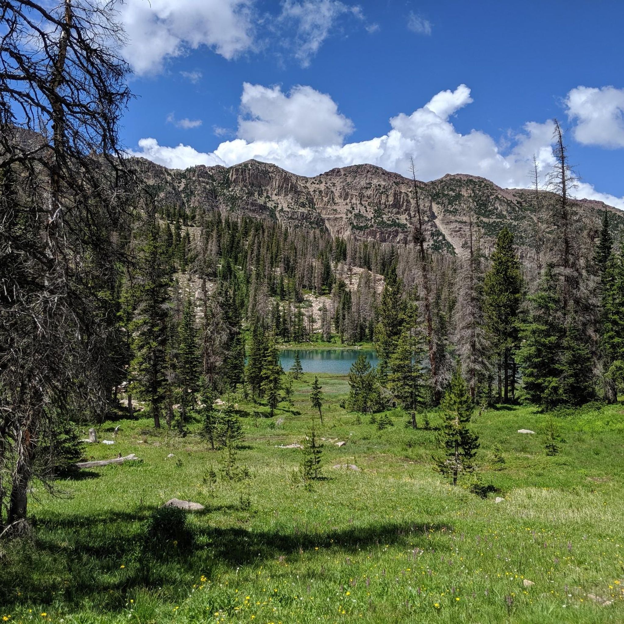
This forested section of the Uinta Highline Trail from the Hayden Pass Trailhead to the Naturalist Basin Trail Junction is either the first or last few miles of your journey on the challenging thru-hike. The Hayden Pass Trailhead, also known as the Highline Trailhead, is a popular starting or ending point for hikers. It features a parking area and a vault toilet. Due to its accessibility from the Mirror Lake Scenic Byway, this trailhead experiences high usage, especially on summer weekends. A federal fee area pass is required for parking. This section of trail is characterized by dense forest, which is different that the rest of the UHT, which is quite open and often above treeline. Wildfires have opened some areas, allowing for glimpses of mountains and lakes through the trees, but much of the trail remains closed in by forest. This section can be heavily trafficked, particularly on weekends, with numerous hikers and their dogs.
0
0
Porcupine Pass sits at approximately 12,200 feet and is one of the most scenic and challenging sections of the Uinta Highline Trail. Nestled between Red Knob Pass and Tungsten Pass, it serves as a key landmark along the trail. Offering expansive views of the Oweep Basin to the west and Lake Fork drainage to the east, its summit provides a true sense of isolation in the wilderness. No matter which way you hike it, the ascent is steep and rocky, with loose terrain, so be sure to enjoy the views from the top!
0
0
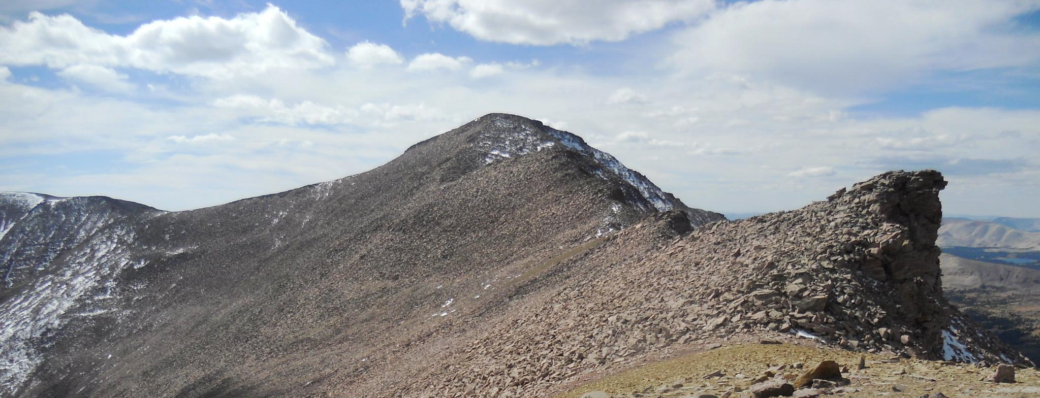
Kings Peak is Utah's tallest mountain. Standing at 13,528 feet, it is located in the Uinta Mountains within the High Uintas Wilderness. The most popular route to the summit begins at the Henrys Fork Trailhead, covering approximately 27 miles round trip. Most hike it as an overnight trip. The best hiking conditions are from June to October, though early summer and fall may present mud, ice, and snow near the summit.
1
0
Anderson Pass stands at just over 12,800 feet and is the highest point on the Uinta Highline Trail! It is a long uphill climb at high altitude, so make sure to pace yourself. From the top you'll get amazing panoramic views and the opportunity to tag Kings Peak, just south of the pass.
0
0

Henry's Fork Trail leads to Alligator Lake but is also the access route to Kings Peak. In fact, it reaches Gunsight Pass from which the ascent to Utah's highest peak begins.
0
0
Frequently Asked Questions
What are some notable natural features and landmarks in the High Uintas Wilderness?
The High Uintas Wilderness is renowned for its glaciated landscape, featuring rugged peaks, flat-topped mountains, and dramatic canyons. Key landmarks include Kings Peak, Utah's highest point, and numerous alpine lakes such as Red Castle Lake and Amethyst Lake. You can also find challenging mountain passes like Porcupine Pass and Anderson Pass, offering expansive views.
What are the best hiking trails for exploring the High Uintas Wilderness?
The wilderness offers 545 miles of trails. Popular options include the multi-day Uinta Highline Trail, the challenging Henry's Fork Trail which leads to Kings Peak, and the scenic Christmas Meadows/Amethyst Lake Trail. Other areas like the Chain Lakes District, Grandaddy Basin, and Rock Creek Basin also provide extensive trail networks.
What is the best time of year to visit the High Uintas Wilderness for hiking?
The best hiking conditions generally occur from June to October. However, be aware that early summer and fall may still present mud, ice, and snow, especially near higher elevations like Kings Peak. Always check current conditions before your trip.
What kind of wildlife can I expect to see in the High Uintas Wilderness?
The wilderness is home to diverse wildlife. Visitors might spot elk, mule deer, moose, mountain goats, coyotes, black bears, and bighorn sheep. It also hosts 75% of Utah's bird species, making it a great spot for birdwatching.
Are there options for multi-day backpacking trips in the High Uintas Wilderness?
Yes, the High Uintas Wilderness is a prime destination for multi-day backpacking. The Uinta Highline Trail is a prominent multi-day thru-hike. Ascending Kings Peak is also commonly undertaken as an overnight trip due to its 27-mile round trip distance.
What are some easier hiking options in the High Uintas Wilderness?
For easier hikes, you can explore routes like Grandaddy Lake via Hades Pass Trail, Jewel Lake via Ruth Lake Trail, or Bonnie Lake via Mirror Lake Trail. These trails offer beautiful scenery with less strenuous climbs. You can find more easy hikes in the region here.
Are there any historical or cultural sites in the High Uintas Wilderness?
The Uinta Mountains are the ancestral lands of the Uintaat Indians, ancestors of the modern Ute nation. The High Uintas Wilderness is situated on the ancestral homelands of the Ute Indian Tribe and the traditional territory of the Eastern Shoshone Tribe, reflecting a rich indigenous history in the region.
What are the rules for bringing dogs on trails in the High Uintas Wilderness?
While dogs are generally permitted on trails in the High Uintas Wilderness, it's crucial to practice Leave No Trace principles. This includes keeping dogs under control, packing out all waste, and ensuring they do not disturb wildlife or other hikers. Specific trail regulations may vary, so always check local signage.
What are some popular activities besides hiking in the High Uintas Wilderness?
Beyond hiking, the High Uintas Wilderness is excellent for backcountry fishing in its abundant lakes and streams. Horseback riding is also a popular way to explore the extensive trail network. Wildlife viewing is another favored activity, given the diverse array of animals in the area.
How can I access the High Uintas Wilderness?
The Mirror Lake Highway (Highway 150) serves as a primary access point to the western Uintas, reaching high elevations and providing access to numerous lakes and campgrounds. Trailheads like Hayden Pass Trailhead, which is a common starting point for the Uinta Highline Trail, are accessible from this scenic byway.
What makes the Uinta Mountains unique?
The Uinta Mountains are unique for being the only major mountain range in the contiguous United States with an east-west orientation. This distinctive geological feature, combined with their extensive glacial carving, creates a landscape unlike any other, characterized by numerous alpine lakes and rugged peaks.
Most popular routes in High Uintas Wilderness

Get inspired with the komoot mobile app


Explore more
Still not found the Highlight you’re looking for? See guides of the top attractions in other regions:
