The best gravel rides around Cartigny-L'Épinay
4.2
(4)
38
riders
5
rides
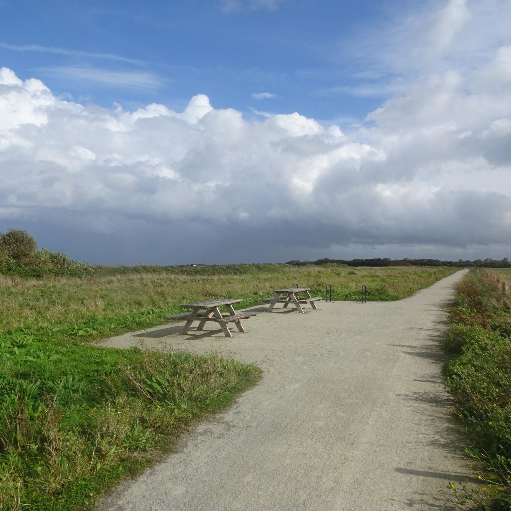
Gravel biking around Cartigny-L'Épinay offers a varied landscape of quiet country roads, rural paths, and forest tracks. The region is characterized by undulating terrain, rolling green hills, and hedgerows, providing a mix of paved and unpaved segments. Proximity to the Marais du Cotentin et du Bessin Regional Natural Park adds diverse natural features, including wet meadows and heathland. This area provides both scenic beauty and physical challenge for gravel cyclists.
Best gravel bike trails around Cartigny-L'Épinay
- The most popular gravel…
Last updated: July 10, 2026
4.3
(3)
13
riders
Moderate gravel ride. Good fitness required. Mostly paved surfaces. Suitable for all skill levels.
7
riders
50.0km
03:04
320m
320m
Moderate gravel ride. Good fitness required. Mostly paved surfaces. Suitable for all skill levels.

Sign up for free
8
riders
127km
06:34
670m
670m
Hard gravel ride. Very good fitness required. Mostly paved surfaces. Suitable for all skill levels.
3
riders
63.7km
03:27
490m
490m
Hard gravel ride. Very good fitness required. Mostly paved surfaces. Suitable for all skill levels.
4.0
(1)
3
riders
48.6km
03:14
720m
720m
Hard gravel ride. Very good fitness required. Mostly paved surfaces. Suitable for all skill levels.
Our route recommendations are based on thousands of hikes, rides, and runs completed by other people on komoot.
Start today with a free account
Your next adventure awaits.
Login or Signup



Tips from the Community

La Voie de la Liberté is a historic 1,145-kilometer route that commemorates the victory of the Allies and the liberation of France, Luxembourg, and Belgium during World War II. It retraces the path of the American 3rd Army, commanded by General George Patton, from the Normandy landings to the Battle of the Bulge.
0
0

It shines with a thousand lights with the sun, we see it from far away
0
0
To do at least once, on the Ev04 seaway
1
0
What a view, when you think they climbed that cliff.
1
0


Beautiful and rugged beach, we were there at high tide
4
0

Dream view of the lookout point and the rocky outcrop in the sea.
7
0
Frequently Asked Questions
What kind of terrain can I expect on gravel bike trails around Cartigny-L'Épinay?
The area offers a varied landscape ideal for gravel biking, featuring quiet country roads, rural paths, small farm roads, and forest tracks. You'll encounter a mix of paved and unpaved segments, with the undulating terrain of Normandy providing rolling green hills and occasional climbs.
Are there any family-friendly gravel bike routes in the Cartigny-L'Épinay area?
Yes, several routes are suitable for families. For instance, The Vire Cycle Route – Towing Path loop from Saint-Jean-de-Daye is a moderate 29.1-mile (46.9 km) path that follows a scenic towing path through rural landscapes, generally offering a pleasant experience for various skill levels.
What natural features or landscapes will I see while gravel biking near Cartigny-L'Épinay?
You'll primarily experience the quintessential Norman countryside, characterized by hedgerows, fields, and woodlands. The region is also close to the Marais du Cotentin et du Bessin Regional Natural Park, which offers diverse landscapes including wet meadows and heathland, providing tranquil environments for cycling and birdwatching.
Are there any historical landmarks or attractions along the gravel bike routes?
Yes, many routes incorporate historical sites. For example, the Gravel Route 'Libération' – View of Pointe du Hoc loop from Isigny-sur-Mer offers views of historic D-Day sites. You can also visit the La Cambe German military cemetery or the Abbey of Cerisy-la-Forêt, which are nearby attractions.
What is the best time of year for gravel biking around Cartigny-L'Épinay?
The region is generally pleasant for gravel biking from spring through autumn. The mild climate of Normandy makes it enjoyable, though conditions can vary. Spring brings blooming landscapes, while autumn offers beautiful foliage. Always check local weather forecasts, especially for rain, as unpaved sections can become muddy.
What do other gravel bikers enjoy most about the trails in Cartigny-L'Épinay?
The area is highly rated by the komoot community, with an average score of 3.7 stars. Reviewers often praise the varied terrain, the peaceful rural countryside, and the opportunity to combine cycling with visits to historic D-Day sites and charming Norman villages.
Are there any longer, more challenging gravel routes for experienced riders?
Yes, for a more challenging ride, consider the Gravel Route 'Libération' – Historic Center of Bayeux loop from Le Molay-Littry. This 78.1-mile (125.7 km) trail leads through the historic center of Bayeux and surrounding countryside, often taking over 8 hours to complete, offering a significant physical challenge.
Where can I find parking for gravel biking routes in Cartigny-L'Épinay?
While specific parking areas for each trailhead are not always explicitly listed, many routes start from or pass through villages like Isigny-sur-Mer, Saint-Jean-de-Daye, or Le Molay-Littry, where public parking is typically available. It's advisable to check the starting point of your chosen route for local parking options.
Can I reach Cartigny-L'Épinay and its gravel trails using public transport?
Cartigny-L'Épinay is a rural commune, so direct public transport options might be limited. However, you can often reach larger towns in the vicinity, such as Bayeux or Isigny-sur-Mer, by regional train or bus. From there, you might need to cycle to the starting points of the trails or arrange local transport. Always check current schedules and bike carriage policies.
Are there cafes or places to eat along the gravel bike routes?
Many gravel routes in the Cartigny-L'Épinay area pass through or near small Norman villages. These villages often have local cafes, bakeries, or small restaurants where you can stop for refreshments. It's a good idea to plan your route with potential stops in mind, especially for longer rides.
What is the elevation profile like on gravel trails in this region?
The terrain around Cartigny-L'Épinay is undulating, featuring rolling green hills. While not mountainous, you can expect a good physical challenge with moderate elevation gains and descents. For example, the The Vire Cycle Route – Towing Path loop from Saint-Jean-de-Daye has an elevation gain of approximately 360 meters.
Are there any specific routes that highlight the D-Day landing sites?
Yes, the region is rich in D-Day history. The 'Libération' themed routes are particularly relevant. For instance, the Voie de la Liberté – View of Pointe du Hoc loop from Trévières offers a way to explore the historical significance of the area while gravel biking.
Most popular routes around Cartigny-L'Épinay
Most popular attractions around Cartigny-L'Épinay

Get inspired with the komoot mobile app


Explore more
Browse the best Gravel rides in other regions.
