The best gravel rides around La Clisse
3.0
(1)
46
riders
9
rides
Gravel biking around La Clisse offers access to the diverse landscapes of Charente-Maritime, characterized by varied terrain suitable for cycling. The region features white gravel paths through marshlands, forest trails, and coastal sections. While generally flat, the area presents dynamic environments with varied surfaces and wind exposure. This provides a range of gravel biking experiences across its natural features.
Best gravel bike trails around La Clisse
- The most popular gravel bike trail is View of the Arch of Germanicus –…
Last updated: October 13, 2026
6
riders
48.2km
02:53
320m
320m
Moderate gravel ride. Good fitness required. Mostly paved surfaces. Suitable for all skill levels.
3.0
(1)
8
riders
46.9km
02:53
170m
170m
Moderate gravel ride. Good fitness required. Mostly paved surfaces. Suitable for all skill levels.

8
riders
18.9km
01:05
70m
70m
Easy gravel ride. Great for any fitness level. Mostly paved surfaces. Suitable for all skill levels.
3
riders
29.1km
01:47
180m
180m
Moderate gravel ride. Good fitness required. Mostly paved surfaces. Suitable for all skill levels.
3
riders
Hard gravel ride. Good fitness required. You may need to push your bike for some segments of this route.
Get access to more routes and recommendations from other explorers.
Already have an account?
Our route recommendations are based on thousands of hikes, rides, and runs completed by other people on komoot.
Start today with a free account
Your next adventure awaits.


Tips from the Community

🏛️ Construction: 18-19 AD The arch was built around 18-19 AD, during the reign of Emperor Tiberius. It stood at the entrance to the Roman bridge crossing the Charente, at the outlet of the Via Agrippa, which connected Lyon to Saintes. It is therefore not truly a "triumphal arch": it was both a road monument and a monumental gate marking the entrance to Mediolanum Santonum, the capital of Roman Aquitaine. 👤 Who had it built? The arch was financed by Caius Julius Rufus, a Romanized notable from Saintonge. He dedicated it to Tiberius as well as his nephew Germanicus. The inscriptions engraved on the entablature still allow us today to know the figures to whom it was dedicated. The name "Arch of Germanicus" therefore comes from this dedication, and not from the fact that Germanicus personally had the arch built or crossed it. 🏗️ A rather exceptional monument The arch has two bays, likely allowing for the differentiation of traffic flows. It measures approximately 15 m high by 16 m wide. Its Corinthian and composite capitals bear witness to particularly meticulous Roman architecture. It constituted a true demonstration of the power and Romanization of Saintes. ⚠️ The moment the arch almost disappeared This is probably the most interesting episode in its history. For centuries, the arch was always located at the level of the Roman bridge and then the medieval bridge, on the right bank of the Charente. In the 19th century, the old bridge had become dilapidated. When it was decided to demolish it, around 1843, the arch was also threatened with destruction. It was then that Prosper Mérimée, Inspector General of Historical Monuments, intervened. He advocated for its preservation and arranged for its dismantling, relocation, and reassembly on the new bank. Another figure is also associated with this preservation: Victor Hugo, who stayed in Saintes in September 1843 and intervened in favor of the monument's conservation with Mérimée. 📍 Why is the arch no longer exactly in its ancient location? The arch we see today, on Place Bassompierre, is therefore no longer in its original location. It was moved a few dozen meters during the transformation of the quays and the disappearance of the old bridge. It was dismantled stone by stone and then reassembled in order to preserve it. It is now located in the immediate vicinity of the ancient Roman bridge crossing. 🏛️ Protection The Arch of Germanicus was finally classified as a historical monument in July 1905. An interesting detail The Crazannes quarries, located near Saintes, supplied a limestone widely used in the region's ancient constructions. Crazannes stone was notably used for monuments such as the Arch of Germanicus. In summary: 18-19 → construction of the arch at the entrance to the Roman bridge ↓ Antiquity → Middle Ages → the arch remains associated with the crossing of the Charente ↓ 1843 → demolition of the old bridge and threat to the arch ↓ 1843-1844 → Mérimée's intervention and relocation of the arch ↓ 1905 → classified as a Historical Monument
0
0
The history of the Louisiana red swamp crayfish (Procambarus clarkii) in the Charente river and its tributaries is quite recent. 🦞 An arrival linked to farming The species is native to the southern United States and northern Mexico. It was introduced to France from 1976, mainly for farming and consumption. Imports particularly concerned the western regions, including Charente and Charente-Maritime. The first introductions were therefore not intended for the wild: it was about developing a new economic resource. But farming quickly became a problem. The crayfish is particularly adept at digging burrows, leaving the water, and withstanding difficult conditions. Individuals escaped from certain farms and bodies of water, allowing them to acclimatize in the natural environment. As early as the beginning of the 1980s, specialists were already reporting risks of establishment in Charente. 🌊 Colonization of the Charente basin The crayfish then gradually spread to the marshes, canals, ponds, and watercourses of the Charente basin. Today, it is well established in the department of Charente: the Charente Fishing Federation lists it among the main crayfish species present. It is particularly adapted to warm, oxygen-poor environments that can undergo periods of drying out. Communes located along the Charente river and its tributaries also report its presence today. ⚠️ Why has it thrived so much? It is a true "champion" of adaptation: it is omnivorous; it tolerates relatively oxygen-poor waters; it withstands periods of drying out; it can move on land to reach a new environment; it reproduces rapidly; it digs burrows in the banks. It has therefore become an invasive alien species. Its development poses several problems: competition with native crayfish, consumption of plants and small aquatic animals, disruption of food chains, and weakening of banks by burrows. It can also be a carrier of aphanomycosis, a disease that affects European crayfish. 📍 And in Charente-Maritime? The situation there is particularly marked. The Charente-Maritime Fishing Federation indicates that the Louisiana crayfish is currently the most present crayfish species in the department, particularly in marshes, slow-flowing waters, and temporarily flooded areas. There is also an interesting historical link with your area of Saintes and the Charente: the species was introduced into the Charente regions for farming before gradually spreading to natural environments. A FAO document from the 1980s already reported that crayfish farmers in Charente had stocked Louisiana crayfish, with the risk that escaped animals would acclimatize.
0
0
The port of Ribérou is a major heritage site in Saujon, bearing witness to a prosperous maritime past linked to the salt and wine trade. Transformed in the 19th century by ambitious works, it has now been reinvented as a place for living, relaxation, and preserving local history. 🛶 Origins and the Middle Ages The port of Ribérou takes its name from the Latin word ripa ("riverbank") or the Occitan word ribèira ("river"). It is located at the head of the Seudre estuary. It existed as early as the 11th century and became an important river and sea port thanks to its strategic position at the head of the estuary, used particularly for the salt trade—then called "white gold"—a highly sought-after product for preserving food. 🚢 Medieval Period and International Trade With the opening of British markets during the reigns of Eleanor of Aquitaine and Henry II Plantagenet, ships laden with wool, salt, wine, and other goods flocked to Ribérou. In the 16th century, the port exported local wines (such as cognac and pineau) throughout Europe. In 1577, during the Wars of Religion, the port was a strategic site: troops were stationed there, and battles took place. 🏗️ Decline, Reconstruction, and the 19th Century The estuary gradually silted up, making navigation difficult. By 1691, only smaller vessels could dock there. During the French Revolution, the sale of the tidal mill, which helped remove sediment, worsened the silting, leading to the port's decline. A modernization project began in 1822, but it wasn't until 1839 that an ambitious program was launched under the impetus of Jules Dufaure—a native of Saujon and Minister of Public Works—with the construction of sturdy quays, slipways, a lock bridge (marking the boundary between fresh and salt water), and reception facilities. In 1842, the work was completed, and the main quay was named Quai Dufaure in honor of this political support. 📉 Gradual Decline and Modernization The arrival of the railway in 1876 and the persistent problems of silting led to a decline in the port's traditional commercial activity, already facing competition from other transport networks. In the 20th century, the port gradually lost its economic importance but remained active for traditional fishing and became a place for pleasure boating, leisure, and local culture. Urban and tourism development projects (particularly in 2011–2012) modernized the port while preserving its historical charm. 🌊 Today The port of Ribérou is now a small fishing and pleasure port, much appreciated for its walks along the Seudre River, water sports (canoeing, kayaking, paddleboarding, etc.), and seasonal events.
0
0


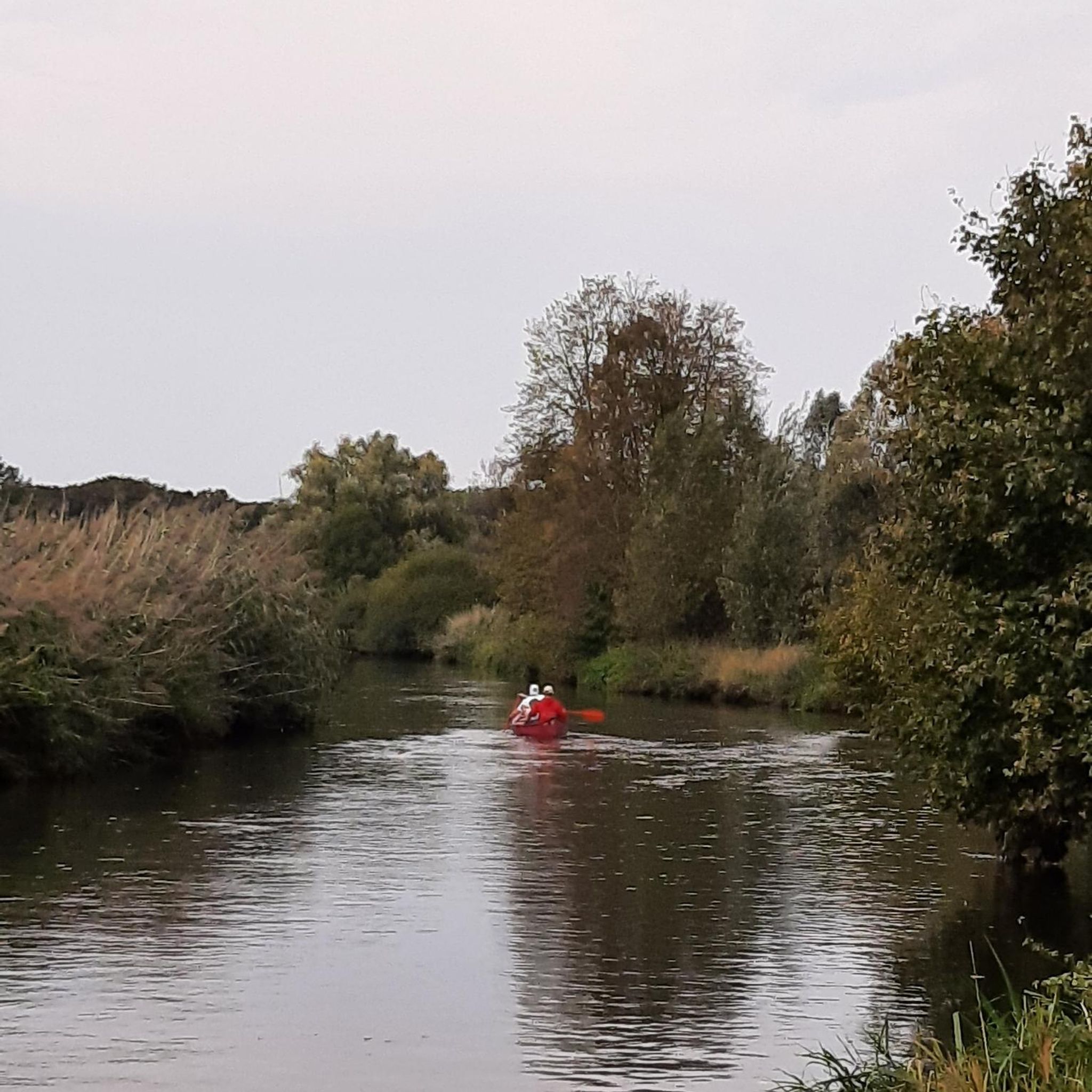
beautiful passages along the Charente with pretty monuments and small waterfront cafés in Port d’Envaux and Saintes.
0
0

Courcoury is a natural island surrounded by the Charente and Seugne rivers, giving it a unique landscape setting between marshes and waterways, conducive to biodiversity and outdoor activities. It is also the only village in Charente-Maritime to have been awarded 4 stars by the "Villes et villages étoilés" label, recognizing its efforts to reduce light pollution through intelligent and environmentally friendly public lighting.
1
0
The Gallo-Roman amphitheater of Sainte, also called the Arena of Saintes, is an elliptical monument built between 40 and 50 AD, probably during the reigns of Tiberius and Claudius. It measures approximately 126 meters by 102 meters and could accommodate between 12,000 and 15,000 spectators, making it one of the largest and oldest amphitheaters in Gaul. Located in a natural valley called the "Arènes valley," it takes advantage of the topography to limit construction work, with stands backing onto the hill. The site has two monumental gates, the "Gate of the Living" to the east and the "Gate of the Dead" to the west, and has been the subject of a major restoration project since 2021 to preserve this exceptional heritage. Accessible on foot from the city center, it offers an immersion in Roman history with an educational trail and activities for families
1
0
Frequently Asked Questions
How many gravel bike trails are available around La Clisse?
There are 14 gravel bike trails around La Clisse, offering a variety of experiences for different skill levels. These routes are highly rated by the komoot community, with an average score of 4.0 stars.
What types of landscapes can I expect on gravel bike trails near La Clisse?
Gravel biking around La Clisse offers a diverse cycling canvas. You'll find white gravel paths meandering through marshlands, shaded forest trails, and sections influenced by the nearby Atlantic coast. The region is generally flat, but the varied surfaces and occasional wind exposure provide a dynamic riding experience.
Are there gravel routes suitable for beginners or families?
Yes, La Clisse offers several routes suitable for beginners and families. There are 4 easy trails available. For example, the Saint-Martin Church – Village of Courcoury loop from Saintes is an easy 18.9 km path with gentle ascents, perfect for a relaxed ride.
Are there any challenging gravel routes around La Clisse?
For those seeking a greater challenge, La Clisse has 2 difficult gravel routes. One notable option is the Porche de Pont l'Abbé – La Roche Courbon Castle loop from Amphithéâtre gallo-romain de Saintes, which covers 56.1 km with significant elevation gain, offering a more demanding ride.
What is the best time of year for gravel biking in La Clisse?
The Charente-Maritime region, including La Clisse, is enjoyable for gravel biking across multiple seasons. Spring and autumn offer pleasant temperatures and vibrant landscapes. Summer can be warm, but shaded forest trails provide relief. The generally flat terrain means routes are accessible year-round, though coastal sections might be windier in certain seasons.
Can I find circular gravel bike routes in the area?
Absolutely. Many of the gravel bike trails around La Clisse are designed as loops, allowing you to start and finish at the same point. Examples include the popular View of the Arch of Germanicus – Cathedral of Saintes loop from Thénac and the Pirelonge Tower – Riberou Port loop from Corme-Royal.
What historical landmarks or attractions can I see along the gravel routes?
The region around La Clisse is rich in history. You can encounter several historical sites, particularly around Saintes. Highlights include the Abbaye aux Dames de Saintes and the Saint-Pierre Cathedral (Saintes). Many routes, like the Cathedral of Saintes – View of the Arch of Germanicus loop from Écurat, offer views of these significant cultural sites.
Are there opportunities to connect to larger cycling networks from La Clisse?
Yes, La Clisse benefits from its proximity to major cycling routes. The Vélodyssée, a substantial 1200 km cycle route along France's Atlantic coast, passes through Charente-Maritime. This offers extensive car-free paths and opportunities to explore further afield, including coastal areas and forests like La Coubre. You can find more information about the Vélodyssée at francevelotourisme.com.
What natural features are prominent on the gravel trails?
The natural environment is a key part of gravel biking here. You'll ride through diverse forests such as Forêt de la Double and Lande Forest, offering shaded paths and wildlife spotting. The nearby Marais Poitevin Regional Natural Park, known as 'Green Venice,' provides unique marshland landscapes with intricate canals and abundant birdlife.
What do other gravel bikers enjoy most about the trails in La Clisse?
The komoot community highly rates the gravel trails around La Clisse, with an average score of 4.0 stars from over 4 reviews. Riders often praise the varied terrain, which includes a mix of marshlands, forest paths, and historical points of interest, providing a rich and engaging experience for all skill levels.
Is public transport available to access gravel trails around La Clisse?
While specific public transport connections directly to trailheads are not detailed, the Charente-Maritime department has regional transport options. For detailed information on bus or train services that might connect to towns near trail starting points, it's best to consult local transport authority websites.
Where can I find parking for gravel biking in La Clisse?
Parking is generally available in the towns and villages that serve as starting points for these routes, such as Thénac, Écurat, or Corme-Royal. Look for public parking areas within these communities, often near town centers or local amenities.
Most popular attractions around La Clisse

Get inspired with the komoot mobile app


Explore more
Browse the best Gravel rides in other regions.
