The best running trails in Mojave River Forks Regional Park
4.0
(1)
41
runners
2
runs
Jogging routes in Mojave River Forks Regional Park offer a diverse landscape for runners, characterized by wide-open spaces and rolling desert terrain. The park provides scenic views of the surrounding mountains, including the San Bernardino Mountains, and features the Mojave River. Access to the Pacific Crest Trail from the park expands possibilities for varied terrain and distances, making it suitable for different fitness levels.
Best jogging routes in Mojave River Forks Regional Park
- The most popular jogging route is Pacific…
Last updated: July 5, 2026
9.44km
01:13
180m
180m
Moderate run. Good fitness required. Mostly paved surfaces. Suitable for all skill levels.
17.2km
02:07
240m
240m
Hard run. Very good fitness required. Mostly paved surfaces. Suitable for all skill levels.

Sign up for free
23
runners
7.15km
00:49
110m
110m
Moderate run. Good fitness required. Mostly paved surfaces. Suitable for all skill levels.
4.0
(1)
12
runners
18.7km
02:05
310m
310m
Hard run. Very good fitness required. Mostly paved surfaces. Suitable for all skill levels.
6
runners
7.66km
00:49
100m
100m
Moderate run. Good fitness required. Mostly paved surfaces. Suitable for all skill levels.
Our route recommendations are based on thousands of hikes, rides, and runs completed by other people on komoot.
Start today with a free account
Your next adventure awaits.
Login or Signup
Popular around Mojave River Forks Regional Park
Tips from the Community

Ride along the road and you'll spot Lake Gregory nestled in the quaint community of Crestline. This hidden gem is surrounded by cedar and pine forests, making it an ideal place to take a break!
0
0
Along this stretch of CA 173, you will enjoy views of both Papoose Lake and Lake Arrowhead. Papoose Lake, a small drainage reservoir adjacent to the larger Lake Arrowhead, adds to the scenic beauty of the area.
0
0

Great view from the PCT onto the valley and Deep Creek. The views stay with you for a while as you stay high above the valley.
0
0

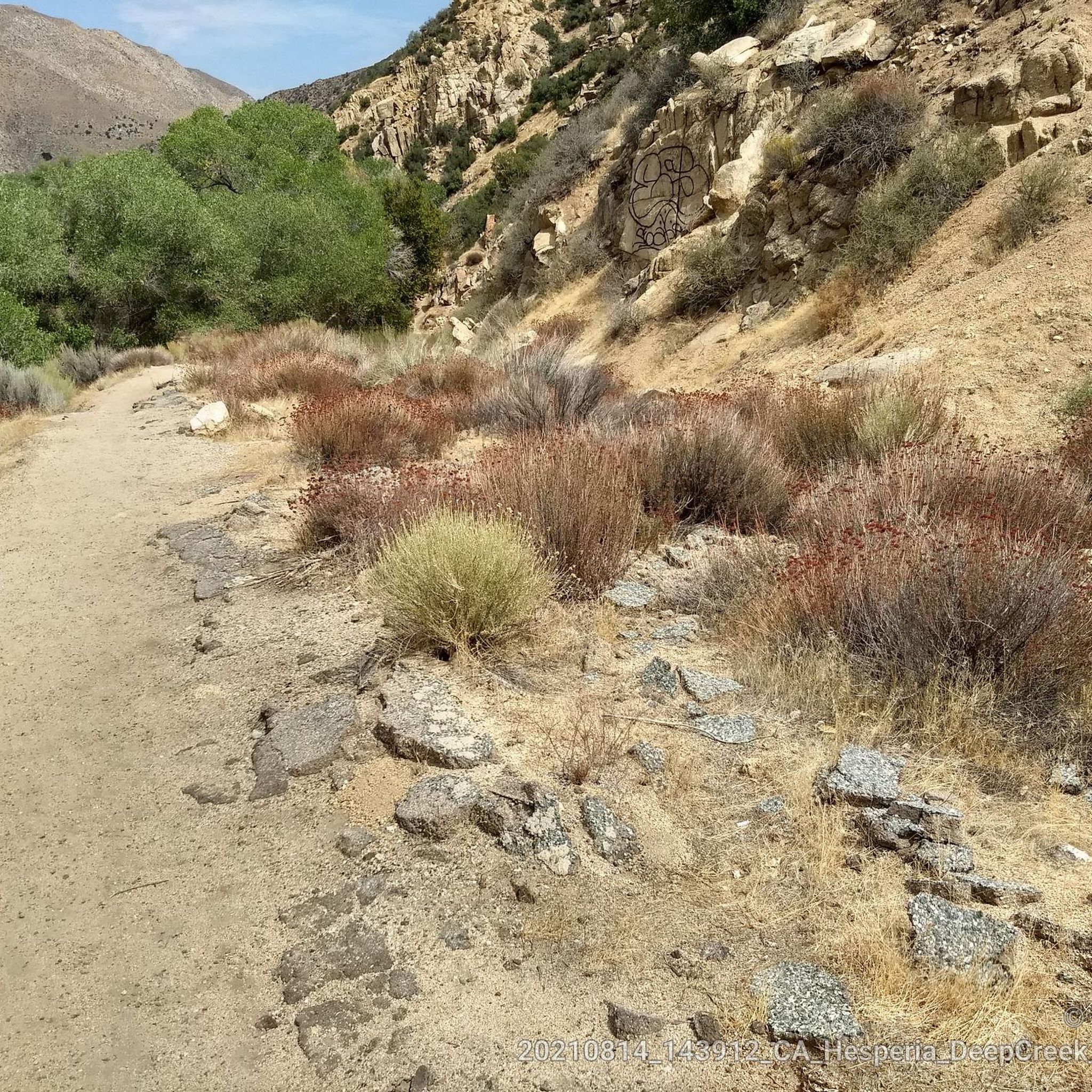
At the confluence of Deep Creek and North Fork Mohave River you can get across the almost dry creek bed most of the year without getting the shoes wet. After the spring snow melt or rain upstream water can be higher so a short wading might be necessary, or a short detour over the side of the dam. A cool trail excursion offers to cross through the tunnel under the dike, often involving a short refreshing section wading through thigh-high water at the northern end. The creek through the tunnel itself is barely a trickle most of the year, that disappears into the desert sand at the other end.
0
0
Cedar Springs Dam is a 250-foot dam that was constructed in 1971. When the dam was built, it created Silverwood Lake, the largest reservoir in San Bernardino County. From the PCT, you get a good view of one side of the dam and get a feeling for how large a structure it is.
0
0
Nice picnic area along the banks of Silverwood Lake. The path down is steep, so make sure to take your time on your way down. There is shade in the picnic area, so it is a good place for a break.
0
0
The PCT follows the west shore of Lake Silverwood for several miles. There are multiple points along the trail that you get great views of the water. In this spot, you get a particularly great view of the whole lake.
0
0

This shopping village is a perfect place to enjoy this big, beautiful lake, which you'll have views of from many points. Additionally, here you'll find restaurants, bars, and shops.
1
0
Frequently Asked Questions
How many running routes are available in Mojave River Forks Regional Park?
Komoot features 5 distinct running routes within and around Mojave River Forks Regional Park. These routes offer a variety of experiences, from moderate desert paths to more challenging trails with significant elevation changes.
What kind of terrain can I expect on the jogging trails in Mojave River Forks Regional Park?
The park is characterized by wide-open spaces and rolling desert terrain, offering scenic views of the surrounding mountains, including the San Bernardino Mountains. You'll find a mix of paths, from relatively flat sections along the Mojave River to more rugged trails with elevation changes, especially those connecting to the Pacific Crest Trail.
Are there any easy jogging routes suitable for beginners in the park?
While the park offers a range of difficulties, routes like Pacific Crest Trail to Hesperia Falls are rated moderate and provide a good balance of varied desert landscapes without being overly strenuous. The park's extensive network allows for shorter, less challenging runs if you stick to flatter sections.
Can I find loop running trails in Mojave River Forks Regional Park?
Yes, there are loop options available. For example, the Lake Gregory loop from Lake Gregory offers a 4.4-mile (7.1 km) trail through forested areas around the lake, providing a pleasant circular run.
What are some notable natural features or viewpoints along the running routes?
The park offers sweeping vistas of mountain foothills and high desert, with stunning views of the San Bernardino Mountains. The Mojave River itself is a significant natural feature, and routes often provide picturesque sunsets. Access to the Pacific Crest Trail also opens up extensive routes with varied scenery.
Are the running trails in Mojave River Forks Regional Park dog-friendly?
Mojave River Forks Regional Park is generally dog-friendly, allowing leashed dogs on its trails. It's always a good idea to check the specific park regulations for any updates or restrictions before your visit. Ensure your dog is on a leash and you carry waste bags.
Is Mojave River Forks Regional Park suitable for family-friendly jogging?
The park's wide-open spaces and tranquil atmosphere make it suitable for families. While some routes are more challenging, many sections offer gentler terrain for a leisurely family jog or walk. Always consider the distance and difficulty of a chosen route to match your family's fitness level.
What is the best time of year for jogging in Mojave River Forks Regional Park?
The high desert climate means spring and fall generally offer the most pleasant temperatures for jogging. Summers can be very hot, requiring early morning or late evening runs and ample hydration. Winters are typically mild but can have cooler temperatures, especially in the mornings.
Are there any challenging running routes for experienced runners?
Absolutely. For experienced runners seeking a challenge, routes like Pacific Crest Trail: Silverwood Lake offer a difficult 10.7-mile (17.2 km) path with significant elevation gain and views towards Silverwood Lake. Another challenging option is the Lake Arrowhead Village loop from Lake Arrowhead, which is 11.6 miles (18.7 km) with over 1,000 feet of elevation gain.
What amenities are available for runners at Mojave River Forks Regional Park?
The park provides amenities such as drinking water and restrooms, which are particularly useful for day-use visitors engaging in longer activities. These facilities can be found near the main park areas and campgrounds.
Where can I find parking for the jogging trails?
Mojave River Forks Regional Park offers designated parking areas for visitors. For specific trailheads, it's best to consult the park's official website or a detailed map to locate the most convenient parking for your chosen running route. You can find more information on the park's facilities at sbcounty.gov.
What do other runners enjoy most about jogging in Mojave River Forks Regional Park?
The komoot community rates the routes in Mojave River Forks Regional Park highly, with an average score of 4.0 stars. Runners often praise the tranquil atmosphere, the vast open spaces, and the opportunity to connect with nature away from urban noise. The scenic views of the desert and mountains are also frequently highlighted.
Most popular routes in Mojave River Forks Regional Park

Get inspired with the komoot mobile app


Explore more
Browse the best Running Trails & Routes in other regions.
