San Felipe Hills Wilderness Study Area
San Felipe Hills Wilderness Study Area
The best road cycling routes in San Felipe Hills Wilderness Study Area
5.0
(2)
54
riders
2
rides
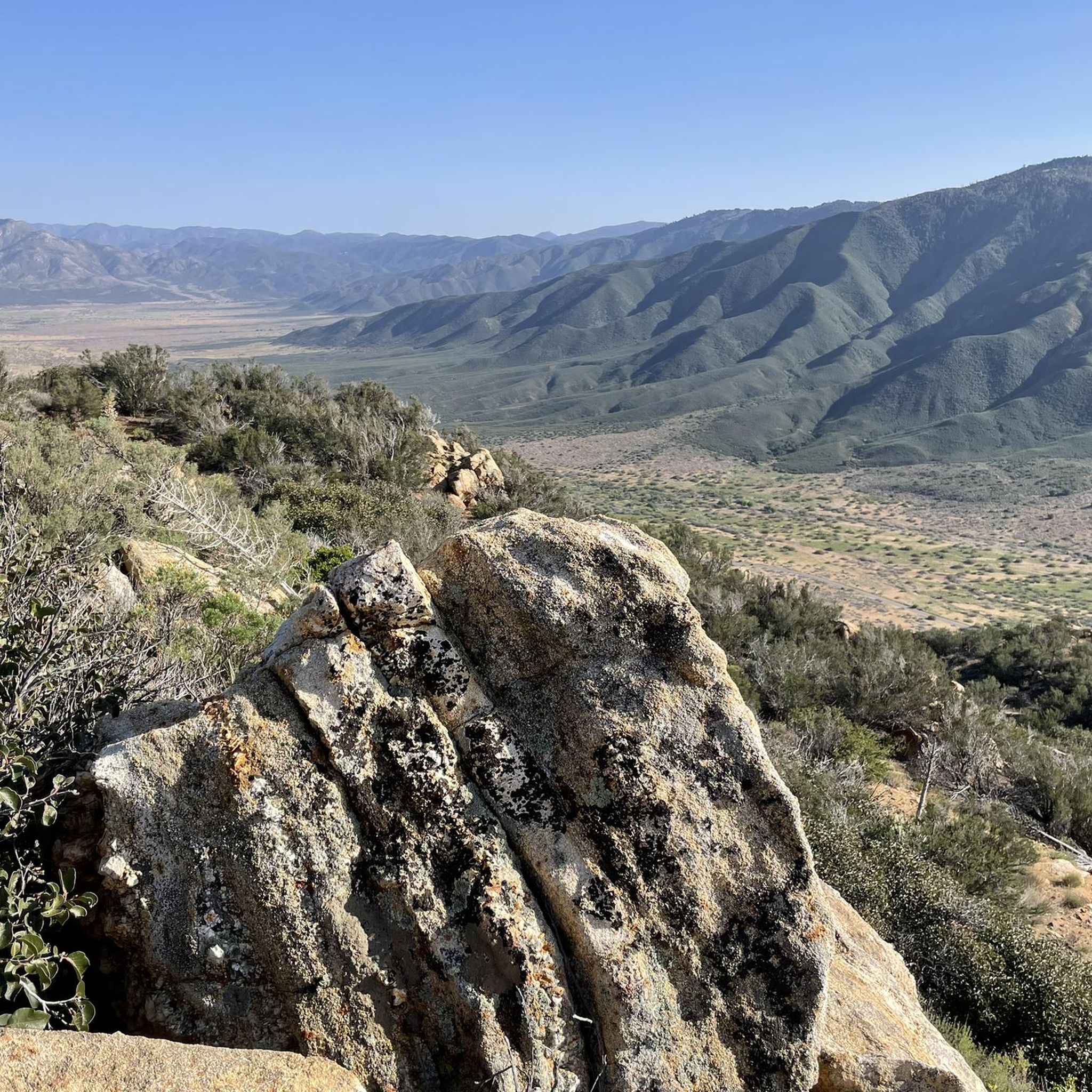
Road cycling in San Felipe Hills Wilderness Study Area and its vicinity offers routes through rugged, natural landscapes. The region features chaparral-clad mountains, sagebrush mesas, and eroded volcanic peaks, often bisected by canyons. Terrain can be steep and challenging, particularly on the north side, with varied habitats including desert riparian woodland and oak forests. Road cycling within the Wilderness Study Area itself is generally limited to designated roads, but the surrounding areas provide extensive routes.
Best road cycling routes in…
Last updated: October 22, 2026
5.0
(1)
10
riders
75.8km
03:39
1,020m
1,020m
Hard road ride. Very good fitness required. Mostly well-paved surfaces and easy to ride.
5
riders
93.7km
04:38
1,370m
1,370m
Hard road ride. Very good fitness required. Some segments of this route may be unpaved and difficult to ride.

5.0
(1)
39
riders
83.1km
04:12
1,400m
1,400m
Hard road ride. Very good fitness required. Some segments of this route may be unpaved and difficult to ride.
Our route recommendations are based on thousands of hikes, rides, and runs completed by other people on komoot.
Start today with a free account
Your next adventure awaits.
Popular around San Felipe Hills Wilderness Study Area
Tips from the Community

Get ready for a dramatic and challenging road bike climb up the Montezuma Borrego Highway, also known as Montezuma Valley Road, starting from Borrego Springs. As you tackle the 10-12 miles of climbing, gaining an impressive 3,300 to 3,400 feet at an average gradient around 6% you'll ascend what's often called the "Glass Elevator," the scenery is spectacular. Transforming from the arid Anza-Borrego desert floor with its unique plants to offering expansive, panoramic views of rugged mountains, canyons, and the distant Salton Sea. Be prepared for potentially extreme heat in the warmer months and possible strong winds higher up as you climb towards the cooler elevations and the summit area near Ranchita.
0
0

Lake Cuyamaca is a picturesque 110-acre reservoir nestled in the Cuyamaca Mountains. Created in the 1880s to supply water to the city of San Diego, it now serves as a recreational haven for fishing, boating, and picnicking.
0
0
Yaqui Pass sits at an elevation of 1,742 feet and lies within the boundaries of Anza-Borrego Desert State Park. Its rugged terrain and natural beauty offer panoramic vistas and plenty of hiking opportunities.
0
0

Surrounded by oak woodlands, grasslands, and wildflowers, this area is a highly popular destination for hiking, biking, and equestrians, offering more than 13 miles of trails. There's also a beautiful creek to observe, but for safety reasons, it's not recommended to take a dip in it.
0
0


The colors and diversity of cactus and wildlife really make this place special. Easy to park, I recommend going there, beware of the temperatures, carry enough water.
0
0

Has some picnic tables, a parking lot, and some trails.
0
0
Frequently Asked Questions
How many road cycling routes are available in the San Felipe Hills Wilderness Study Area?
While this specific guide features 2 challenging road cycling routes, the San Felipe Hills Wilderness Study Area itself has limited designated road cycling paths due to its protected status. However, the surrounding region, including areas near Anza-Borrego Desert State Park and San Felipe Road, offers numerous popular and well-maintained routes.
What is the typical difficulty level of road cycling routes in this area?
The routes featured in this guide, such as the Kwaaymii Point – Storm Canyon Overlook loop from Julian and the Jess Martin Park loop from Santa Ysabel, are classified as difficult, featuring significant elevation gains. The broader region, including San Felipe Road and parts of Anza-Borrego Desert State Park, is known for challenging inclines and varied terrain suitable for experienced cyclists.
What are the best times of year for road cycling in the San Felipe Hills region?
The cooler months, particularly winter, are ideal for road cycling in this region, especially in areas bordering Anza-Borrego Desert State Park. Summer temperatures can be extremely high, making cycling challenging and potentially unsafe. Always check weather forecasts before heading out.
Are there any loop routes for road cycling?
Yes, this guide includes several loop routes. For instance, you can explore the Kwaaymii Point – Storm Canyon Overlook loop from Julian, which covers over 75 km with significant elevation, or the Jess Martin Park loop from Santa Ysabel, a longer ride at over 93 km.
What kind of landscapes can I expect to see while road cycling here?
The region offers dramatic and diverse landscapes. You'll encounter chaparral-clad mountains, sagebrush mesas, and eroded volcanic peaks, often bisected by canyons. The San Felipe Valley Wildlife Area, adjacent to the WSA, features desert riparian woodland, oak woodland, and native grasslands, providing vast panoramas and diverse habitats.
What are the regulations for road cycling within the San Felipe Hills Wilderness Study Area?
Within Wilderness Study Areas like San Felipe Hills, bicycle use is generally limited to 'cherry stem routes' and designated roads shown on official maps. Competitive races and organized group events are prohibited. There are no designated cycling trails within the WSA itself; cyclists are encouraged to use existing, durable surfaces and legal routes. For more detailed information, you can consult the Bureau of Land Management's WSA brochure.
Are there any scenic viewpoints or landmarks along the road cycling routes?
While specific highlights are not detailed for these routes, the region is known for its vast panoramas and unique geological features. Routes like the Kwaaymii Point – Storm Canyon Overlook loop offer views of the rugged terrain. The surrounding areas, including parts of Anza-Borrego Desert State Park, provide opportunities to see eroded volcanic peaks and diverse desert flora.
Is the area suitable for family-friendly road cycling?
The routes featured in this guide are classified as difficult due to significant distances and elevation gains, making them less suitable for casual family rides. For family-friendly cycling, you might consider exploring flatter, less trafficked roads in nearby communities or designated park areas outside the immediate Wilderness Study Area.
What amenities are available near the road cycling routes?
The San Felipe Hills Wilderness Study Area is a remote region focused on primitive recreation, so amenities are limited within the WSA itself. However, nearby towns like Julian, Santa Ysabel, and Borrego Springs (near the Yaqui Pass loop) offer services such as cafes, restaurants, and accommodation for cyclists.
What wildlife might I encounter while cycling in this region?
The diverse habitats of the San Felipe Valley Wildlife Area and surrounding lands support a wide array of wildlife. You might spot mountain lions, bobcats, mule deer, golden eagles, and various migratory and upland game birds. Always maintain a respectful distance and be aware of your surroundings.
How do road cyclists rate their experience in the San Felipe Hills region?
The komoot community highly rates the road cycling experiences in this region, with an average score of 5.0 stars. Reviewers often praise the challenging climbs, the solitude, and the unique desert and mountain panoramas encountered on these routes.
Most popular routes in San Felipe Hills Wilderness Study Area

Get inspired with the komoot mobile app


Explore more
Browse the best Road cycling routes in other regions.
