The best walks and hikes in Refugio Nacional De Vida Silvestre De Cabo Rojo
4.0
(3)
77
hikers
4
hikes
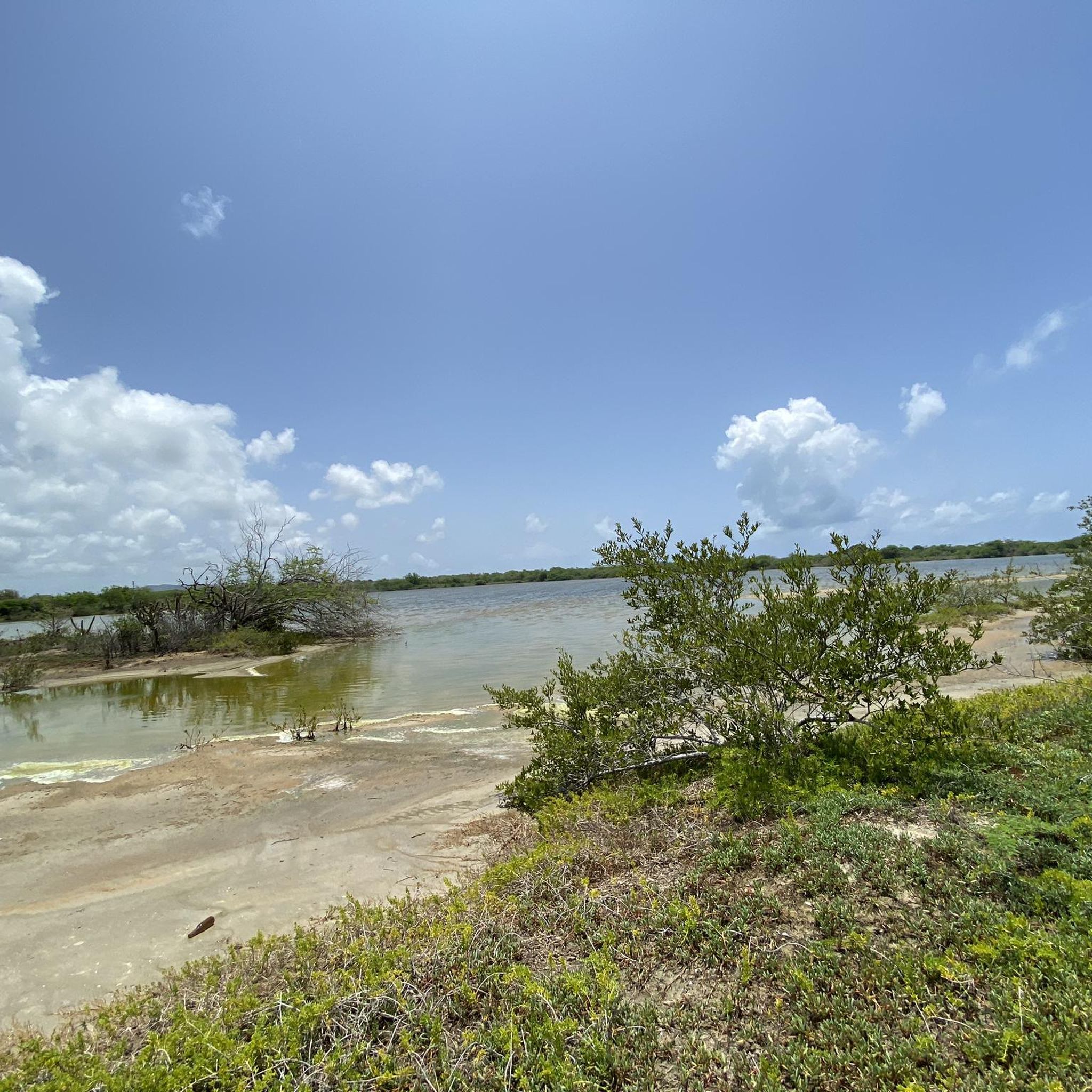
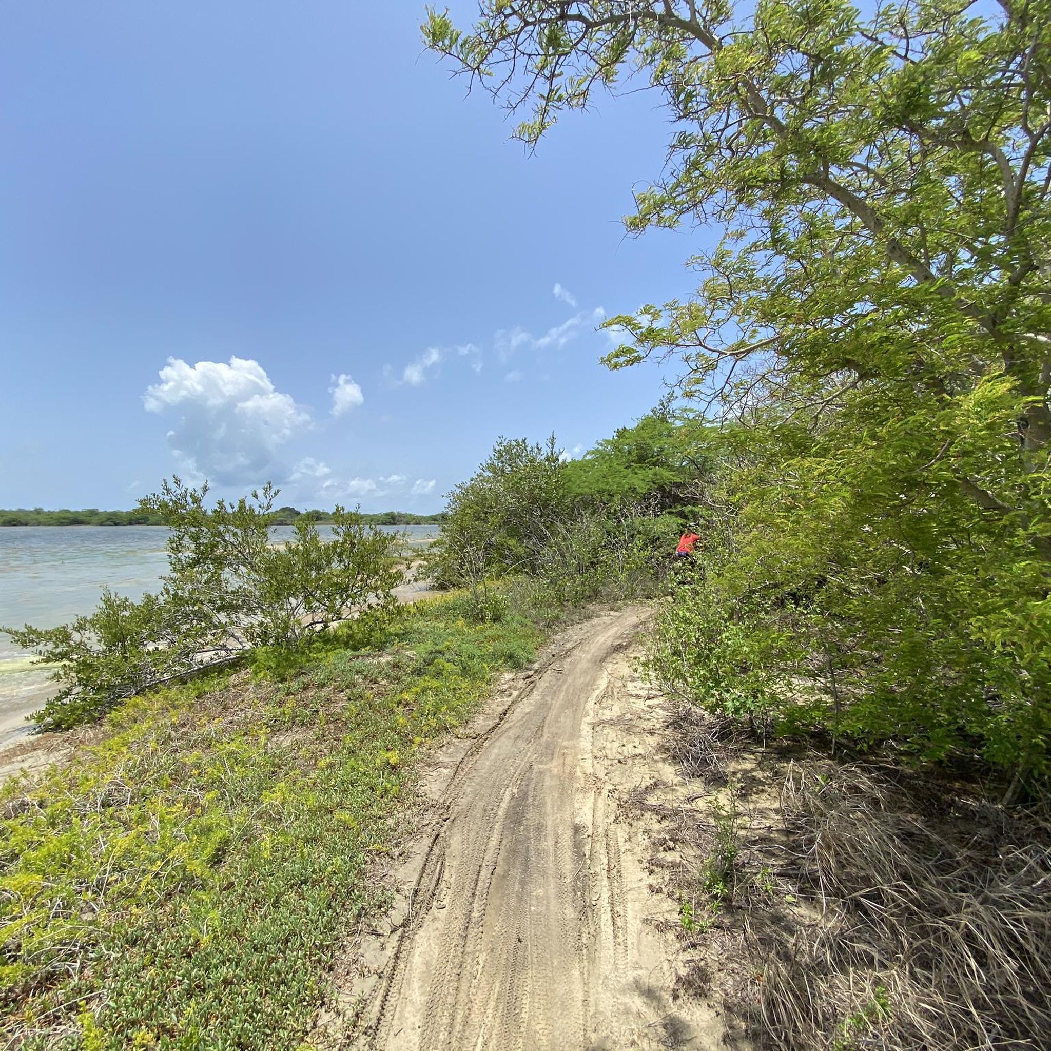
Hiking in Refugio Nacional De Vida Silvestre De Cabo Rojo offers diverse landscapes, including vibrant salt flats, dense mangrove forests, and subtropical dry forests. The region features a dramatic limestone coastline with cliffs and rock formations, alongside secluded beaches. These varied ecosystems provide a range of terrain for outdoor exploration.
Best hiking trails in Refugio Nacional De Vida Silvestre De Cabo Rojo
- The most popular hiking route is Hiking loop from Cabo Rojo National Wildlife Refuge, a 3.3 miles (5.4 km) trail that takes 1 hour 24 minutes to complete. This easy route offers views of the refuge's natural features.
- Another top favourite among local hikers is Cerro Guaniquilla loop from Reserva Natural de Punta Guaniquilla, a moderate 6.5 miles (10.4 km) path. This trail explores the area around Cerro Guaniquilla, providing varied terrain and coastal glimpses.
- Local hikers also love the Hiking loop from Roca Ola, a 1.3 miles (2.0 km) trail leading through coastal areas, often completed in about 31 minutes.
- Hiking in Refugio Nacional De Vida Silvestre De Cabo Rojo is defined by salt flats, mangrove forests, and limestone coastlines. The network offers options for different ability levels, from easy walks to moderate excursions.
- The routes in Refugio Nacional De Vida Silvestre De Cabo Rojo are highly rated by the komoot community with an average score of 4.3 stars from more than 4 reviews. More than 60 hikers have used komoot to explore Refugio Nacional De Vida Silvestre De Cabo Rojo's varied terrain.
Last updated: July 4, 2026
5.0
(2)
57
hikers
5.44km
01:25
40m
40m
Imagine walking along dramatic limestone cliffs, with the turquoise Caribbean Sea stretching out before you. This easy 3.4-mile (5.4 km) hiking route, with just 132 feet (40 metres) of elevation gain, takes about 1 hour and 25 minutes to complete. You'll pass the historic Faro Los Morrillos lighthouse and the impressive Puente de Piedra, a natural stone bridge, all while enjoying coastal forests and grasslands.
To make the most of your visit, plan to hike in the early morning or late afternoon to avoid the intense heat. Always carry plenty of water, as the sun can be relentless. While the trail is generally accessible, comfortable walking shoes are a must, as some sections are unpaved with gravel and coral rock underfoot.
This trail is a standout for its blend of natural beauty and history. The 1882 Faro Los Morrillos lighthouse offers a glimpse into Puerto Rico's maritime past, while the dramatic coastal scenery and access to La Playuela Beach (Playa Sucia) provide ample reward. Keep an eye out for diverse wildlife, and if you visit in winter, you might even spot humpback whales.
2.05km
00:31
10m
10m
The Cabo Rojo Lighthouse loop from Bosque Estatal de Boquerón offers a delightful coastal walk, showcasing dramatic limestone cliffs and the vibrant turquoise waters of the Caribbean Sea. You'll encounter diverse flora, including cacti, and the path often features ancient coral formations underfoot, leading you to the iconic Faro Los Morrillos de Cabo Rojo and the impressive Puente de Piedra natural bridge. It's a truly scenic journey that feels like a discovery around every bend.
This easy 1.3-mile (2.0 km) hike, with a minimal 26 feet (8 metres) of elevation gain, can be completed in about 31 minutes, making it accessible for most. However, be prepared for the tropical heat by starting early and bringing ample water. The road to the trailhead can be rough, and vehicle access is sometimes restricted, so factor in a potential extra walk to reach the starting point.
Beyond the stunning views, the trail runs through the Cabo Rojo National Wildlife Refuge, offering opportunities to observe local wildlife and learn about the unique ecosystem. You'll also find the beautiful La Playuela Beach (Playa Sucia) adjacent to the lighthouse area, perfect for a post-hike cool-down. The nearby salt flats add another interesting natural and historical dimension to this must-visit destination in Southwest Puerto Rico.

Sign up for free
3.0
(1)
3
hikers
10.4km
02:43
70m
70m
Moderate hike. Good fitness required. Easily-accessible paths. Suitable for all skill levels.
17
hikers
5.91km
01:32
30m
30m
Easy hike. Great for any fitness level. Easily-accessible paths. Suitable for all skill levels.
Our route recommendations are based on thousands of hikes, rides, and runs completed by other people on komoot.
Start today with a free account
Your next adventure awaits.
Login or Signup
Popular around Refugio Nacional De Vida Silvestre De Cabo Rojo
Tips from the Community

The last route to get to the lighthouse is for minimal gravel cycling, but today, when it was sunny and the ground was dry, you can reach the top in a controlled way.
0
0

Great hideaway - mangroves with lots of small crabs
0
0
Pictures Stonecliff in the blue ocean
0
0
Frequently Asked Questions
What types of landscapes can I expect to see while hiking in Refugio Nacional De Vida Silvestre De Cabo Rojo?
The refuge offers a diverse range of landscapes. You'll encounter vibrant salt flats, dense mangrove forests, and unique subtropical dry forests with cacti. The trails also lead along a dramatic limestone coastline featuring cliffs and rock formations, as well as serene, secluded beaches like La Playuela.
Are there trails suitable for beginners or those looking for an easy walk?
Yes, the refuge has several easy trails. For instance, the Hiking loop from Cabo Rojo National Wildlife Refuge is an easy 5.4 km route. Another accessible option is the Hiking loop from Roca Ola, which is a shorter 2.0 km trail.
What are some notable landmarks or points of interest to look out for?
Hikers can explore several significant attractions. The historic Cabo Rojo Lighthouse (El Faro), built in 1882, offers panoramic coastal views. You can also visit the impressive Puente Natural, a natural stone bridge extending into the sea. An Observation Tower provides expansive views of the salt flats, mountains, and coast.
Is Refugio Nacional De Vida Silvestre De Cabo Rojo a good place for birdwatching?
Absolutely. The refuge is a critical habitat for over 150 bird species, including migratory and resident populations. It's particularly important for the endangered Yellow-shouldered Blackbird and serves as a key stopover for birds migrating between North and South America. The salt flats unit is recognized as the first site in the Caribbean designated by the Western Hemisphere Shorebird Reserve Network.
Are there any longer or more challenging hiking options available?
For those seeking a moderate challenge, the Cerro Guaniquilla loop from Reserva Natural de Punta Guaniquilla is a 10.4 km path that explores varied terrain and offers coastal glimpses. This is the longest moderate route available in the immediate area.
What do other hikers say about the trails in Refugio Nacional De Vida Silvestre De Cabo Rojo?
The trails in Refugio Nacional De Vida Silvestre De Cabo Rojo are highly rated by the komoot community, with an average score of 4.3 stars. Hikers often praise the diverse ecosystems, breathtaking scenery, and the well-maintained trails that cater to various fitness levels.
Can I find circular hiking routes in the refuge?
Yes, many of the trails are designed as loops. Examples include the Hiking loop from Cabo Rojo National Wildlife Refuge, the Hiking loop from Roca Ola, and the Cerro Guaniquilla loop from Reserva Natural de Punta Guaniquilla, offering convenient options for exploring the area.
What kind of wildlife might I encounter besides birds?
Beyond the abundant birdlife, hikers may also spot other wildlife such as lizards, frogs, and iguanas, particularly in the subtropical dry forests and along the coastal areas.
Is there an interpretive center or educational information available?
Yes, the Salt Flats Interpretive Center offers insights into the region's natural and cultural history, including the salt mining industry and the biological importance of the area. Additionally, informational panels are strategically placed along the trails to educate visitors about the diverse species and habitats.
What is the total length of the trail system in the refuge?
The Refugio Nacional de Vida Silvestre de Cabo Rojo features an extensive trail system, offering over 12 miles (19 kilometers) of paths for hikers to explore.
Are there any trails that lead to secluded beaches?
Yes, some trails wind through the refuge and lead to serene, sheltered beaches. La Playuela is a notable example, known for its fine golden sand and calm, crystalline waters, providing a perfect spot for relaxation after a hike.
Most popular routes in Refugio Nacional De Vida Silvestre De Cabo Rojo

Get inspired with the komoot mobile app


Explore more
Browse the best Hikes in other regions.
