The best cycling routes in Superstition Wilderness
5.0
(1)
35
riders
6
rides
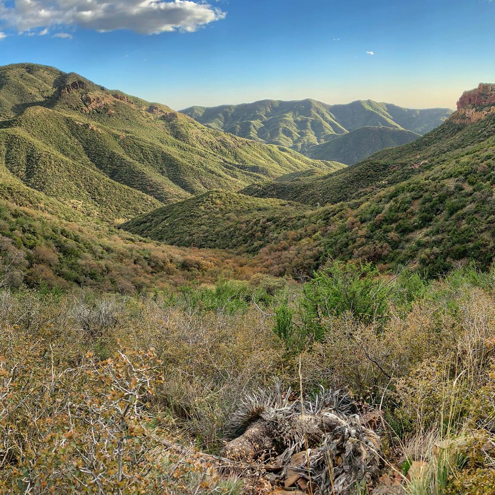
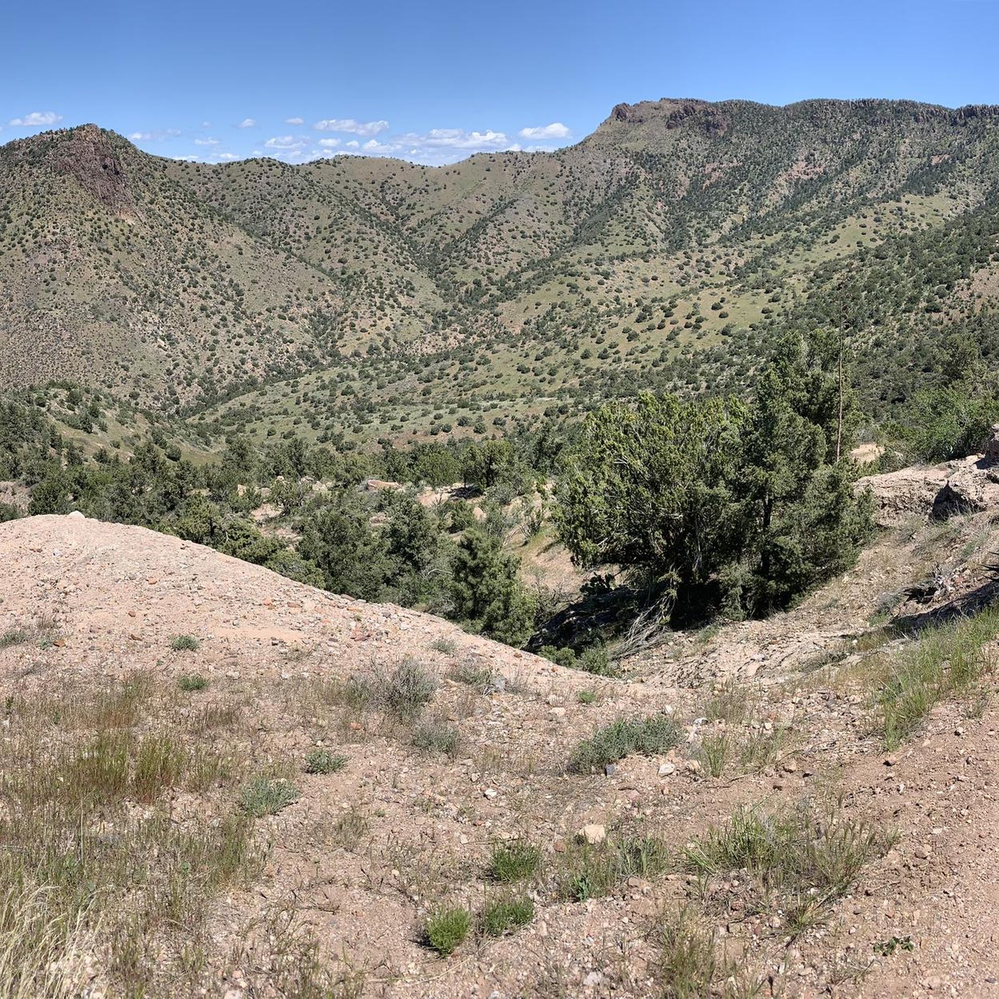
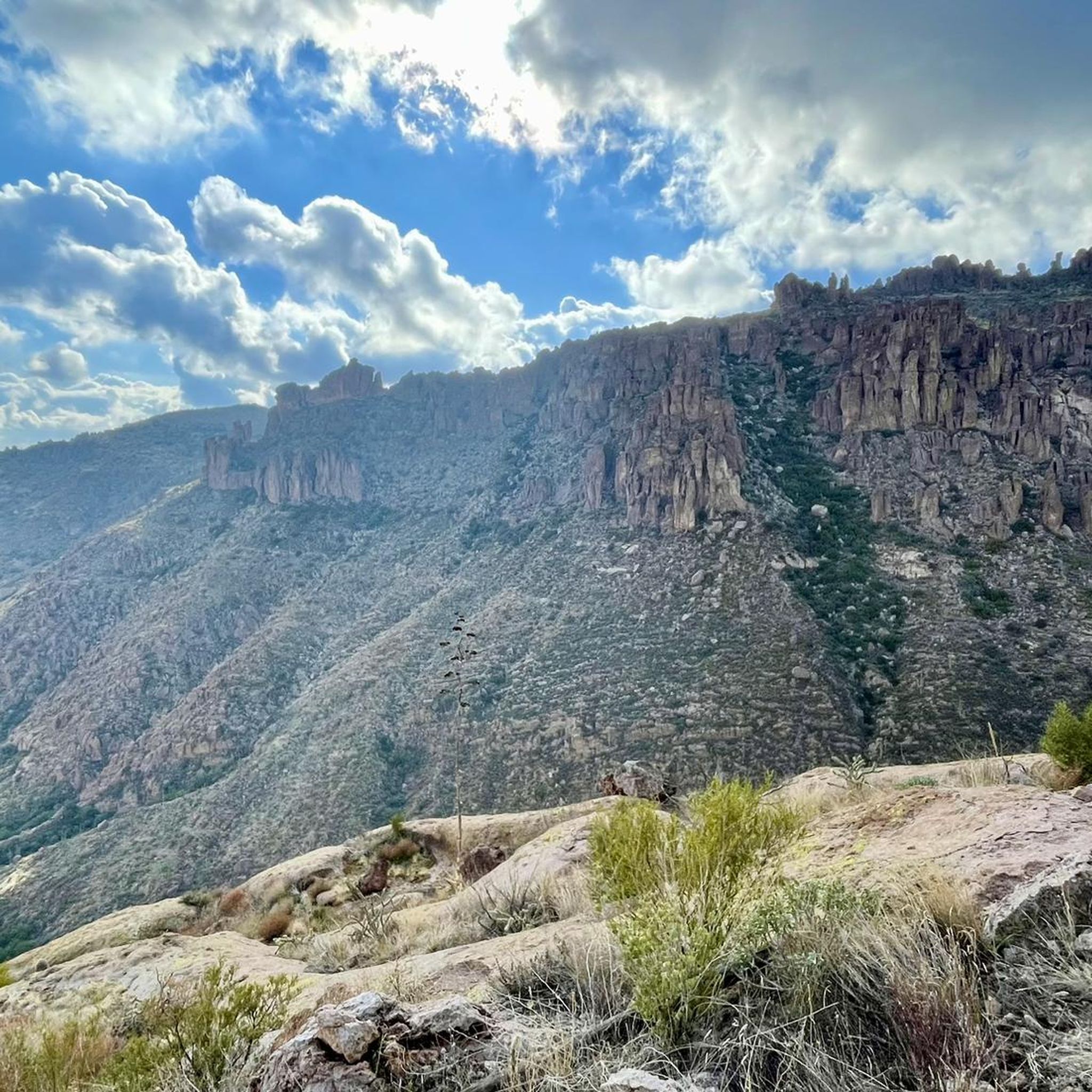
Touring cycling in Superstition Wilderness offers routes through a rugged landscape of desert and volcanic mountains east of Phoenix, Arizona. The region features dramatic rock formations, deep canyons, and diverse Sonoran Desert flora, with elevations ranging from approximately 2,000 feet to over 6,200 feet. While the federal wilderness area itself prohibits bicycles, the surrounding areas, including parts of the Tonto National Forest, provide challenging routes often on unpaved roads and jeep tracks. Cyclists can expect rugged desert terrain that demands…
Last updated: June 28, 2026
9
riders
41.4km
03:00
830m
830m
Hard bike ride. Very good fitness required. You may need to push your bike for some segments of this route.
8
riders
6.22km
00:33
40m
40m
Easy bike ride. Great for any fitness level. Mostly paved surfaces. Suitable for all skill levels.

Sign up for free
5.0
(1)
4
riders
19.7km
01:11
110m
110m
Easy bike ride. Great for any fitness level. Mostly paved surfaces. Suitable for all skill levels.
23.2km
02:29
760m
760m
Hard bike ride. Very good fitness required. Mostly paved surfaces. Suitable for all skill levels.
5
riders
12.6km
00:45
80m
80m
Easy bike ride. Great for any fitness level. Mostly paved surfaces. Suitable for all skill levels.
Our route recommendations are based on thousands of hikes, rides, and runs completed by other people on komoot.
Start today with a free account
Your next adventure awaits.
Login or Signup




Tips from the Community

Step back in time at Tortilla Flat. For two blocks along State Route 88 you'll find a number of historic buildings doing their best to serve as a set for a Western movie. This is a good spot to get a drink and something to eat before getting back on your bike.
0
0

This ride is amazing in many ways... Access to great climbing, access to great hiking right across from the lake, and of course accesss to one of the best rides in AZ - Tortilla Flats..!
0
0
Canyon Lake is a real oasis in the desert. The 950-acre lake sparkles under the Arizona sun like a jewel plucked from a crown, and here, at the marina, you'll find a general store, campground, and a chance to rent all sorts of watercraft or go for a cruise on the Dolly Steamboat.
0
0

Tortilla Flat is a small touristy place located at the historic Apache Trail. You can grab a bite at the restaurant an have a look into the museum, the gift shop and general store. There is even a post office! Many tales are told about the history of this place that is surrounded by the Superstition Mountains where people are still searching for the legendary gold of the Lost Dutchman. Read for yourself: https://www.tortillaflataz.com/our-history
2
0
This 320-acre park doesn't get its name from an unlucky traveler, but rather a legendary gold mine that is said to be lost somewhere in the surrounding mountains. You can stay overnight at the campground or just visit for the day on the many trails that access the surrounding Superstition Wilderness, and who knows, maybe you'll stumble on the fabled gold mine!
0
0

The Burnt Corral Picnic and Camping Area is just down the road heading west of this parking lot. There are amenities here, and there is a lot of parking. This park on the Salt River is much larger, so it is called Apache Lake.
0
0
At this overlook, there is a parking lot and a short walking trail to get a really good look at the Theodore Roosevelt Dam. The building began over 100 years ago, in 1903, just below the joining of Tonto Creek and the Salt River. It's a large damn with a height of 357 ft (109 m), a length of 1,210 ft (369 m), and a width of 21.6 ft (6.6 m) at the widest point.
0
0
Inspiration Point Interpretive Overlook is a pullout from Highway 88 with an impressive view of man-made feats in a beautiful natural desert setting. 1) Views of both the longest two-lane inverted arch suspension bridges in America 3) Views of the largest lake in central Arizona 2) When the water in the lake is low, view the back of the original masonry structure that made Roosevelt Dam.
0
0
Frequently Asked Questions
How many touring cycling routes are available in the Superstition Wilderness region?
There are 5 touring cycling routes available in the broader Superstition Wilderness region. These routes range in difficulty from easy to difficult, offering options for various skill levels.
What is the best time of year for touring cycling in the Superstition Wilderness area?
The best time for touring cycling in the Superstition Wilderness region is typically outside of the extreme summer months. Temperatures can exceed 115 degrees Fahrenheit in summer, making spring, fall, and winter more suitable for comfortable and safe cycling.
What kind of terrain can I expect on touring cycling routes in this region?
Expect rugged desert terrain, often on unpaved roads and jeep tracks. The region is characterized by dramatic rock formations, deep canyons, and Sonoran Desert flora. Some routes may feature steep, rocky grades, demanding suitable bikes and preparation.
Are there any easy touring cycling routes suitable for beginners or families?
Yes, there are easy touring cycling routes available. For instance, the Lost Dutchman State Park loop from KVIT-FM (Apache Junction) is an easy option, as is the Bike loop from Gold Canyon. These routes offer a less strenuous introduction to cycling in the area.
Are there challenging touring cycling routes for experienced riders?
Absolutely. The region offers several challenging routes. The Boulder Creek Bridge – View of Rock Pinnacle loop from Mesquite Flat and the Burnt Corral to Roosevelt Lake Marina loop are both rated as difficult, featuring significant elevation changes and rugged terrain.
Can I find circular touring cycling routes in the Superstition Wilderness region?
Yes, many of the touring cycling routes in the area are loops. Examples include the Boulder Creek Bridge – View of Rock Pinnacle loop from Mesquite Flat, the Lost Dutchman State Park loop from KVIT-FM (Apache Junction), and the Burnt Corral to Roosevelt Lake Marina loop.
What notable landmarks or natural features can I see along the touring cycling routes?
While cycling, you can experience the dramatic landscapes of the Sonoran Desert. Notable features in the broader region include iconic rock formations like Weaver's Needle and the Flatiron Summit. You might also encounter unique geological formations such as the Praying Hands Rock Formation. The area is also known for its deep canyons and diverse desert flora.
Where can I park my bike for touring routes in the Superstition Wilderness area?
Parking facilities are available at various trailheads and access points around the Superstition Wilderness region. For routes near Gold Canyon, you can often find parking in the vicinity. For routes starting near Lost Dutchman State Park, parking is typically available at the park itself, though permits may be required depending on the specific activity or entry point.
Are there places to eat or stay near the touring cycling routes?
Yes, towns like Apache Junction and Gold Canyon, which are near many of the cycling routes, offer various amenities. You can find cafes, pubs, and accommodation options in these areas to refuel and rest after your ride.
What wildlife might I encounter while touring cycling in the Superstition Wilderness region?
The Superstition Wilderness is home to diverse desert wildlife. You might spot coyotes, bobcats, bighorn sheep, and various desert birds and reptiles. Always maintain a respectful distance and observe wildlife from afar.
What should I wear or bring for touring cycling in the Superstition Wilderness?
Given the desert environment, it's crucial to bring plenty of water, as scarcity is common. Wear appropriate sun protection, including hats, sunglasses, and sunscreen. Layered clothing is advisable due to temperature fluctuations. A helmet, repair kit, and navigation tools are also essential. Be prepared for rugged terrain and potential isolation.
Is touring cycling allowed everywhere in the Superstition Wilderness?
No, it's important to note that bicycles are prohibited within the federal Superstition Wilderness boundaries. However, the broader Superstition Mountains region, including parts of the Tonto National Forest and areas around towns like Gold Canyon and Apache Junction, offers extensive opportunities for touring cycling on unpaved roads and jeep tracks. Always check local regulations for specific trails.
Most popular attractions in Superstition Wilderness

Get inspired with the komoot mobile app


Explore more
Browse the best Cycling routes in other regions.
