The best walks and hikes around Spanish Fork
5.0
(3)
44
hikers
13
hikes
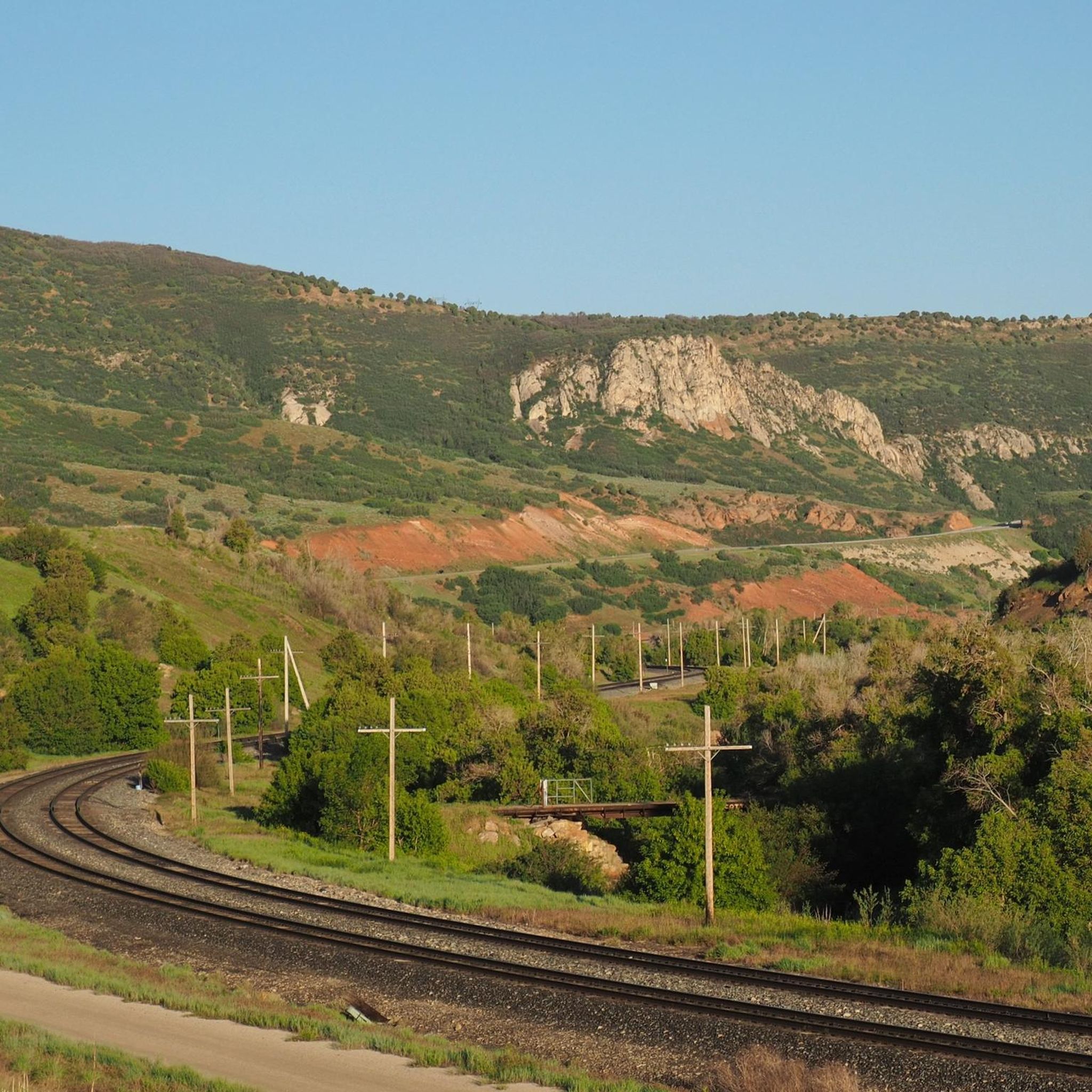
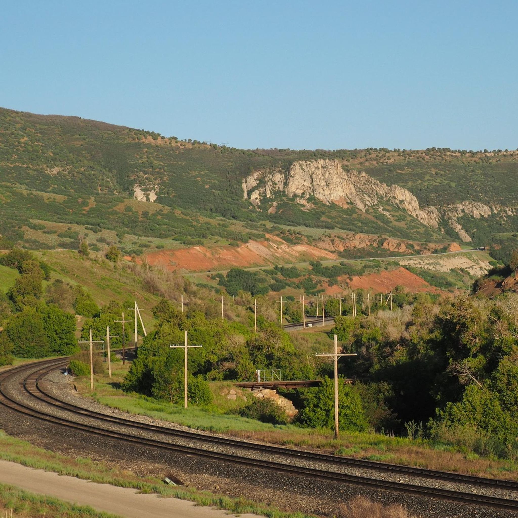
Hiking around Spanish Fork, Utah, is characterized by its diverse landscapes, situated at the convergence of Utah Valley farmland, mountain canyons, and the Wasatch Mountains. The region features dramatic mountainous terrain, including Spanish Fork Canyon and Diamond Fork Canyon, alongside lower elevation riverbanks. Trails range from paved riverside paths to rugged ascents of nearby peaks, offering varied elevation gains.
Best hiking trails in Spanish Fork
- The most popular hiking route is Spanish Fork River Trail, a 15.2 miles (24.4 km) trail that takes about 6 hours 12 minutes to complete. This route follows the river, offering views of the surrounding mountains.
- Another top favourite among local hikers is Hidden Oak and Snell Canyon Trail, a difficult 9.0 miles (14.5 km) path. This trail involves significant elevation gain through canyon landscapes.
- Local hikers also love the Powerhouse Mountain Trail, a 5.2 miles (8.3 km) trail leading through mountainous terrain, often completed in about 3 hours 13 minutes.
- Hiking around Spanish Fork is defined by its canyon trails, riverside walks, and access to high-elevation peaks. The network of routes provides options for both easy family hikes and difficult mountain ascents.
- The routes in Spanish Fork are highly rated by the komoot community with an average score of 5.0 stars from 2 reviews. More than 30 hikers have used komoot to explore Spanish Fork's varied terrain.
Last updated: July 7, 2026
1
hikers
1.90km
00:35
120m
0m
The Maple Canyon to Whiting Campground trail offers a delightful, easy hike through a lush canyon near Mapleton, Utah. You'll wander along a path often paralleling a riverbed, shaded by maple and cottonwood trees, and marvel at the unique “cobblestone” conglomerate walls that make this area famous. It's a tranquil 1.2-mile (1.9 km) journey, perfect for soaking in nature's beauty without a demanding effort.
Planning your visit is straightforward for this popular route. The trail is easily accessible, and while it's generally an easy walk, be ready for occasional loose rocks and potential stream crossings. It's a great option for a quick outdoor escape, especially in spring when wildflowers add a splash of color to the canyon.
What truly sets this trail apart is its distinctive geology; the natural cobblestone walls are a world-renowned feature for rock climbing, offering a visually unique landscape even for hikers. This 35-minute hike with 393 feet (120 metres) of elevation gain is a beloved escape for those seeking nature and a touch of geological wonder, suitable for a wide range of visitors.
8.30km
03:14
930m
0m
The Powerhouse Mountain Trail near Springville, Utah, offers a rugged and rewarding hiking experience, transitioning from an ATV track to a primitive singletrack as you climb. Expect to navigate through forested slopes and rocky sections, with some bushwhacking required closer to the summit. The payoff is worth the effort, with expansive views of Springville, south Utah County, and the scenic Hobble Creek Canyon unfolding as you ascend.
This difficult 5.2-mile (8.3 km) hike involves a significant 3052 feet (930 metres) of elevation gain, typically taking around 3 hours and 13 minutes. It's a good choice for experienced hikers looking for a challenging ascent and panoramic vistas, especially during seasons when higher elevation trails might be inaccessible due to snow. Dogs are permitted, but remember to keep them leashed and clean up after them.
What makes this trail stand out is its dual nature, starting as a wider path before becoming a more intimate, less-trafficked route to the peak. It provides a unique perspective on the region's landscape, offering glimpses of Utah Lake and the Hobble Creek golf course below. This trail is ideal for those who appreciate a quieter, more adventurous climb away from the crowds.

Sign up for free
24.4km
06:12
60m
70m
The Spanish Fork River Trail offers a delightful escape into nature, tracing the banks of the Spanish Fork River through a mix of open farmlands and pleasant wooded stretches. This paved, multi-use path provides continuous river views, with glimpses of distant mountain peaks and surrounding cliffs, creating a scenic backdrop for your outing. It's an excellent spot for birdwatching and wildlife spotting, where you might encounter deer, ducks, and geese, adding to the trail's natural charm.
Planning your visit to the Spanish Fork River Trail is straightforward, with multiple access points available, such as from Canyon View Park. The trail is well-equipped with amenities like water stations, picnic tables, benches, and restrooms at various points, making it comfortable for a long day out. Most road crossings feature underpasses for safety, and the trail is dog-friendly, provided your pet is on a leash. This makes it a convenient and enjoyable option for a leisurely day trip.
Despite Komoot's "difficult" rating, the Spanish Fork River Trail is a surprisingly easy 15.2-mile (24.4 km) hike, with a minimal 181 feet (55 metres) of elevation gain, typically taking around 6 hours and 12 minutes. Its flat, paved surface makes it ideal for families with strollers or those seeking a long, accessible route without strenuous climbs. The trail's connectivity to local points of interest like the Spanish Fork Sports Complex and its historical upgrades, including new bridges, highlight its role as a well-maintained community asset in Utah County.
14.5km
04:55
1,010m
190m
The Hidden Oak and Snell Canyon Trail offers a challenging and rewarding hiking experience, primarily located in the Mt. Loafer Wildlife Management Area. You'll start with a shaded, gradual ascent through oak and pine, but quickly transition to steep, rocky terrain with sections that can be overgrown. The difficult 9.0-mile (14.5 km) route features an impressive 3316 feet (1011 metres) of elevation gain, taking approximately 4 hours and 54 minutes, and rewards your efforts with sweeping views up Spanish Fork Canyon and over Spanish Fork City.
To tackle this strenuous hike, head to the trailhead located above the Spanish Fork Reservoir. Parking is generally available there. Dogs are welcome to join you on the trail, but please ensure they remain on a leash throughout your adventure. Given the significant climb, it's always a good idea to bring ample water and consider an early start to avoid the midday heat.
This trail is widely recognized for its difficulty, earning a "Black Diamond" rating and a "Hard" physical rating, particularly due to the Snell Canyon section's intense climb. It also offers connections to Loafer Ridge and Water Canyon, providing opportunities for even longer loop or backpacking excursions if you're looking to extend your adventure beyond the main route.
1.34km
00:28
130m
0m
The P Mountain and Little Mountain trail offers a delightful, accessible hike with expansive views of the southern Utah Valley. You'll follow a generally level, rocky doubletrack path, primarily gravel, that winds along the ridge of Little Mountain. Keep an eye out for wildflowers and diverse vegetation against the mountainous backdrop, all while enjoying the fresh air and open scenery.
This trail is a quick 0.8-mile (1.3 km) outing with 419 feet (128 metres) of elevation gain, typically taking around 28 minutes to complete at an easy pace. It's a popular spot, so if you're driving, aim for an early start to secure a good parking spot at the trailhead. Since there's very little shade, consider hiking in cooler seasons or during the early morning to avoid the heat.
What truly makes this trail stand out is its connection to the prominent "Payson P" landmark, which you'll pass above. Despite its easy difficulty, it delivers impressive vistas, making it a fantastic option for families, dog owners, or anyone looking for a short, rewarding outdoor experience in Payson, Utah.
Get access to more routes and recommendations from other explorers.
Sign up for free
Already have an account?
Our route recommendations are based on thousands of hikes, rides, and runs completed by other people on komoot.
Start today with a free account
Your next adventure awaits.
Login or Signup
Popular around Spanish Fork

Tips from the Community

Powerhouse Mountain isn't the most popular peak outside of Provo, but it's a great peak for running. The trails leading to the summit trail aren't crowded, and after some power hiking to the ridge, there are super runnable grades along the ridgeline. At 7,990 feet, the ridge to the summit and the summit itself offer continuous views of the foothills and neighboring peaks.
0
0
Frequently Asked Questions
Are there any easy, family-friendly hikes in the Spanish Fork area?
Yes, there are several great options for families. The Spanish Fork Reservoir loop is a short, gentle walk around the water that's perfect for all ages. For something a bit different, the trail to Dripping Rock Falls is another fun and accessible hike with a rewarding waterfall.
Can I bring my dog on the trails around Spanish Fork?
Many trails in the region are dog-friendly, but rules can vary, especially within the Uinta-Wasatch-Cache National Forest. Dogs are generally required to be on a leash. The Spanish Fork River Trail is a popular paved path for walking with a leashed dog. Always check specific regulations for the trail you plan to hike and be prepared to clean up after your pet.
Which hikes near Spanish Fork lead to a waterfall?
The most famous waterfall hike is to the Fifth Water Hot Springs, which features a series of cascades and vibrant blue soaking pools. It's a moderately difficult 4.5-mile round trip. For easier options with waterfall views, consider the short trails to Grotto Falls or Bridal Veil Falls in nearby Provo Canyon.
What are some good circular hikes or loops?
For a challenging loop with significant elevation, the Spanish Fork Peak loop from Site 25 is a demanding but rewarding full-day adventure. If you're looking for a difficult but scenic canyon route, the Y Canyon – The Y loop from Provo offers a great workout with impressive views.
Are there any paved or shaded trails suitable for walking?
The Spanish Fork River Trail is your best option. It's a well-maintained, paved path that is popular for walking and biking. Locals note that it has good sections of shade from trees along the river, making it more pleasant on sunny days.
What kind of hiking is available in Spanish Fork Canyon?
Spanish Fork Canyon is a gateway to numerous trails, particularly in the Diamond Fork area. Here you can find unique red rock landscapes, such as the popular Red Ledges area. The canyon also hosts the trailhead for the famous Fifth Water Hot Springs hike, which follows a scenic creek through the canyon walls.
How difficult is the hike to Fifth Water Hot Springs?
The hike to Fifth Water Hot Springs (also known as Diamond Fork Hot Springs) is generally considered moderate. It's about a 4.5 to 5-mile round trip with some gradual elevation gain. The trail can be rocky and slippery in places, especially near the water, so sturdy footwear is recommended.
What should I pack for a day hike in Spanish Fork?
For any hike, you should bring plenty of water, especially in the summer. Sun protection like a hat, sunglasses, and sunscreen is crucial. Wear sturdy hiking shoes with good grip. It's also wise to pack snacks, a basic first-aid kit, and a map or a fully charged phone with the route downloaded for offline use.
Where can I find a good viewpoint hike?
For a relatively short hike with a great payoff, the trail to The Escalante Cross offers fantastic views over the valley. Be aware that some routes to the cross can be quite steep. For a much more strenuous challenge with panoramic views from one of the highest peaks in the Wasatch Range, consider the full-day trek up Mount Timpanogos.
Are the hiking trails free to access?
Most of the primary hiking trails around Spanish Fork, including the Spanish Fork River Trail and local canyon trails, are free to access. However, some areas within the Uinta-Wasatch-Cache National Forest or specific recreational sites may require a day-use fee, so it's always a good idea to check for signage at the trailhead.
Is it easy to find parking at the trailheads?
Parking availability varies. Popular trailheads like the one for Fifth Water Hot Springs can fill up very quickly, especially on weekends, so an early start is highly recommended. Trailheads for local paths like the Spanish Fork River Trail at Poplar Lane or near the Sports Park generally have more accessible parking.
Are there any easy riverside walks?
Yes, the Fort Utah Greenway – Provo River Parkway loop from Dixon Middle School is an easy, flat trail that follows the river, perfect for a leisurely stroll. It's a great way to enjoy the scenery without a strenuous climb.
Most popular routes around Spanish Fork
Most popular attractions around Spanish Fork

Get inspired with the komoot mobile app


Explore more
Browse the best Hikes in other regions.
