The best road cycling routes around Taos
18
riders
4
rides
Road cycling around Taos, New Mexico, features diverse terrain ranging from high desert valleys to mountainous ascents. The region is characterized by the Sangre de Cristo Mountains to the east and the dramatic Rio Grande Gorge to the west. Road cycling routes often involve significant elevation changes, providing varied challenges and scenic views across the landscape. The area offers a mix of open roads through sage-covered mesas and climbs into pine forests.
Best road cycling routes around Taos
- The most…
Last updated: July 9, 2026
13
riders
57.2km
02:47
670m
670m
Moderate road ride. Good fitness required. Some segments of this route may be unpaved and difficult to ride.
2
riders
23.9km
01:06
160m
160m
Easy road ride. Great for any fitness level. Mostly well-paved surfaces and easy to ride.

Sign up for free
2
riders
23.2km
00:57
130m
130m
The Taos Plaza loop from Ranchos de Taos offers a delightful road cycling experience through the high desert plains surrounding Taos. You'll enjoy diverse scenery, from open country with mountain…
1
riders
19.5km
01:05
140m
140m
Moderate road ride. Great for any fitness level. Some segments of this route may be unpaved and difficult to ride.
Our route recommendations are based on thousands of hikes, rides, and runs completed by other people on komoot.
Start today with a free account
Your next adventure awaits.
Login or Signup
Popular around Taos
Tips from the Community

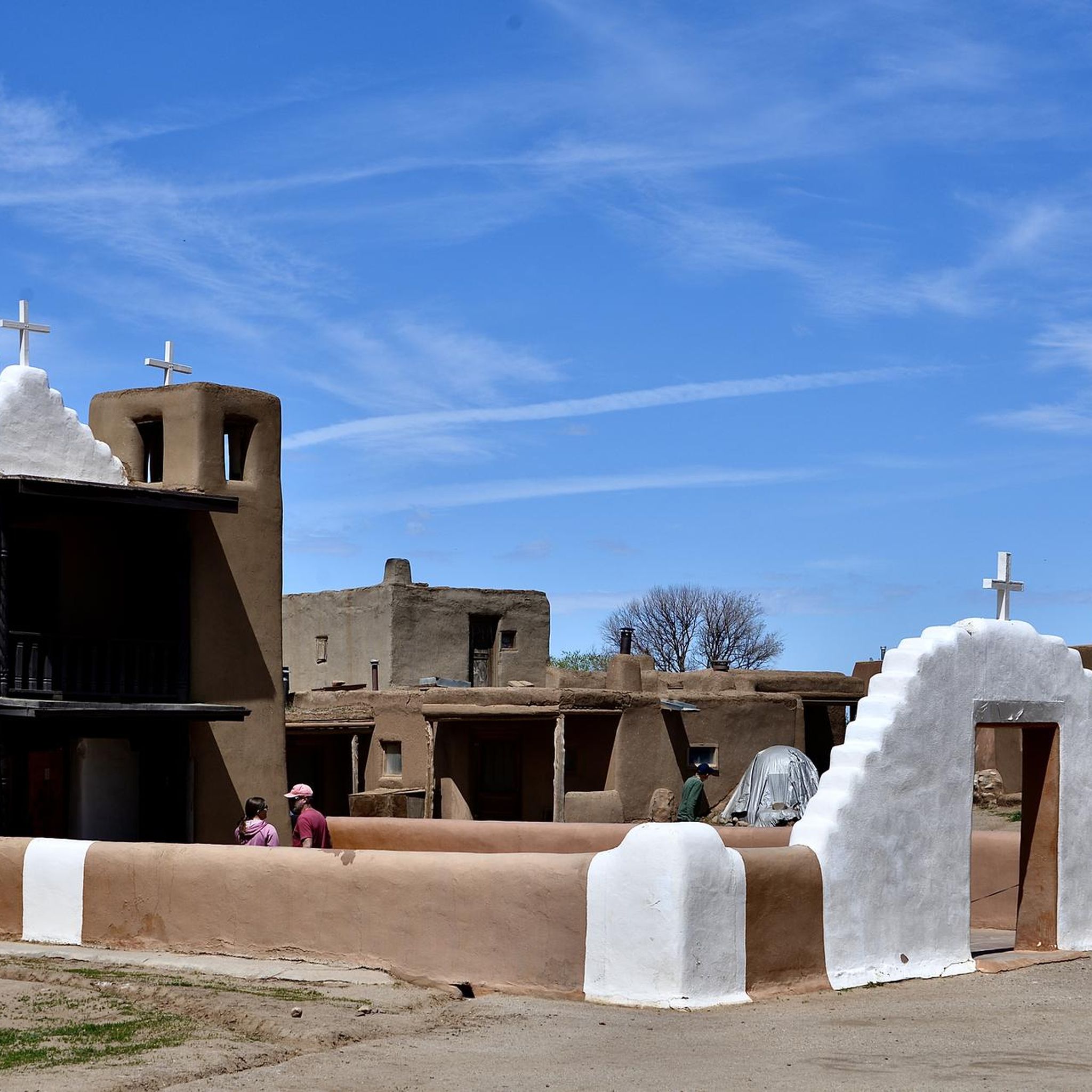
At the heart of historic Taos, the Taos Plaza is a lively gathering place surrounded by adobe buildings, galleries, and locally owned shops. Once the center of trade and community life dating back to the 18th century, it remains the cultural core of town today. Visitors can explore art studios, grab a coffee, or simply relax under the shade of old elm trees while taking in the vibrant blend of history, art, and mountain-town charm.
0
0

The Pot Creek Cultural Site is an amazing,13th century abandoned pueblo with a mile-long walking loop dotted with informational signs that tell you about the history of the area and people that used to live here. This free site is a must-visit if in the area!
0
0
Frequently Asked Questions
How many road cycling routes are available in the Taos area?
Komoot offers 4 diverse road cycling routes around Taos. These include 2 easy routes and 2 moderate routes, catering to various skill levels.
Are there challenging road cycling routes in Taos for experienced riders?
Yes, Taos offers significant challenges for experienced road cyclists. The region is known for its dramatic elevation changes, particularly in the Sangre de Cristo Mountains. Routes like the ascent to Taos Ski Valley involve substantial climbing, reaching over 9,000 feet. The famous Enchanted Circle, while not listed in this guide, is an 85-mile loop with 5,300 feet of climbing, circling the Taos Mountains and offering a demanding experience.
What scenic landmarks can I see while road cycling in Taos?
Road cycling in Taos offers breathtaking views of diverse landscapes. You can ride along the majestic Rio Grande Gorge, offering stunning geological vistas. The U S Hill – Pot Creek Cultural Site loop from Taos passes by the Pot Creek Cultural Site, offering a glimpse into the region's history. Other routes provide views of the Sangre de Cristo Mountains, high desert mesas, and picturesque valleys.
Are there easy road cycling routes suitable for beginners or families in Taos?
Yes, Taos has options for easier rides. Routes like the Taos Plaza loop from PDC @ Weimer (23.9 km with 156 m elevation gain) and the Taos Plaza loop from Ranchos de Taos (23.2 km with 133 m elevation gain) are rated as easy. These routes offer a gentler introduction to road cycling in the area, often through the Taos Valley and surrounding high desert, which feature more rolling or flat sections.
What is the best time of year for road cycling in Taos?
The best time for road cycling in Taos is generally during the spring, summer, and fall months. The region experiences sunny blue skies and mild temperatures, making for pleasant riding conditions. While specific weather varies, avoiding the peak heat of summer afternoons and potential winter snows in higher elevations is advisable for optimal enjoyment.
Where can I find parking for road cycling routes in Taos?
Many road cycling routes in Taos start from accessible points within or near the town. For example, the El Nogal Trailhead is a designated parking area that can serve as a starting point for rides. Routes originating from Taos Plaza or other local areas often have nearby public parking options.
Are there any circular road cycling routes around Taos?
Yes, several road cycling routes in this guide are designed as loops, allowing you to start and end at the same point. Examples include the U S Hill – Pot Creek Cultural Site loop from Taos, the Taos Plaza loop from PDC @ Weimer, and the Taos Plaza loop from Taos. These circular routes are convenient for exploration without needing a return trip.
What kind of elevation gain can I expect on road cycling routes in Taos?
Elevation gain varies significantly across Taos. While some routes like the Taos Plaza loop from PDC @ Weimer have moderate gains of around 156 meters, others, particularly those heading into the mountains, can be much more substantial. For instance, the U S Hill – Pot Creek Cultural Site loop from Taos features over 670 meters of climbing, offering a good workout.
Are there places to stop for refreshments or stay overnight near the cycling routes?
Taos and its surrounding towns offer numerous options for refreshments and accommodation. The Taos Plaza area, a common starting point for several routes, is rich with cafes, restaurants, and lodging. Smaller towns along routes, such as those on the High Road to Taos (Chimayo, Truchas, Peñasco), also provide local establishments for breaks.
Are road cycling routes in Taos suitable for cycling with dogs?
While many outdoor areas in Taos are dog-friendly, road cycling routes themselves, especially those on public roads, may not always be ideal for cycling directly with dogs due to traffic and safety concerns. For off-road cycling or walking with dogs, it's best to check specific trail regulations within the Rio Grande del Norte National Monument or other designated multi-use paths.
Do I need any special permits for road cycling in the Taos area?
Generally, no special permits are required for road cycling on public roads in the Taos area. However, if your route takes you through specific national parks, monuments, or private lands, it's always advisable to check local regulations for any required passes or permits. The Rio Grande del Norte National Monument, for example, has specific rules for different activities.
Most popular routes around Taos
Most popular attractions around Taos

Get inspired with the komoot mobile app


Explore more
Browse the best Road cycling routes in other regions.
