The best gravel rides around Torrington
9
riders
4
rides
Gravel biking around Torrington, nestled in the Litchfield Hills, offers diverse terrain for riders. The region features rolling hills, extensive forested areas, and a network of mixed-surface roads. Gravel bikers can expect a blend of unpaved roads, greenways, and trails within state parks, providing varied landscapes and elevation changes. This environment supports a range of gravel cycling experiences, from tranquil paths to more challenging climbs.
Best gravel bike trails around Torrington
- The most popular gravel bike trail is Topsmead State…
Last updated: July 8, 2026
3
riders
40.3km
02:35
500m
500m
Hard gravel ride. Very good fitness required. Mostly paved surfaces. Suitable for all skill levels.
1
riders
23.0km
01:34
290m
290m
Moderate gravel ride. Good fitness required. Mostly paved surfaces. Suitable for all skill levels.

Sign up for free
4
riders
43.0km
02:29
540m
540m
Hard gravel ride. Very good fitness required. Mostly paved surfaces. Suitable for all skill levels.
1
riders
35.4km
02:13
430m
430m
Moderate gravel ride. Good fitness required. Mostly paved surfaces. Suitable for all skill levels.
Our route recommendations are based on thousands of hikes, rides, and runs completed by other people on komoot.
Start today with a free account
Your next adventure awaits.
Login or Signup

Tips from the Community

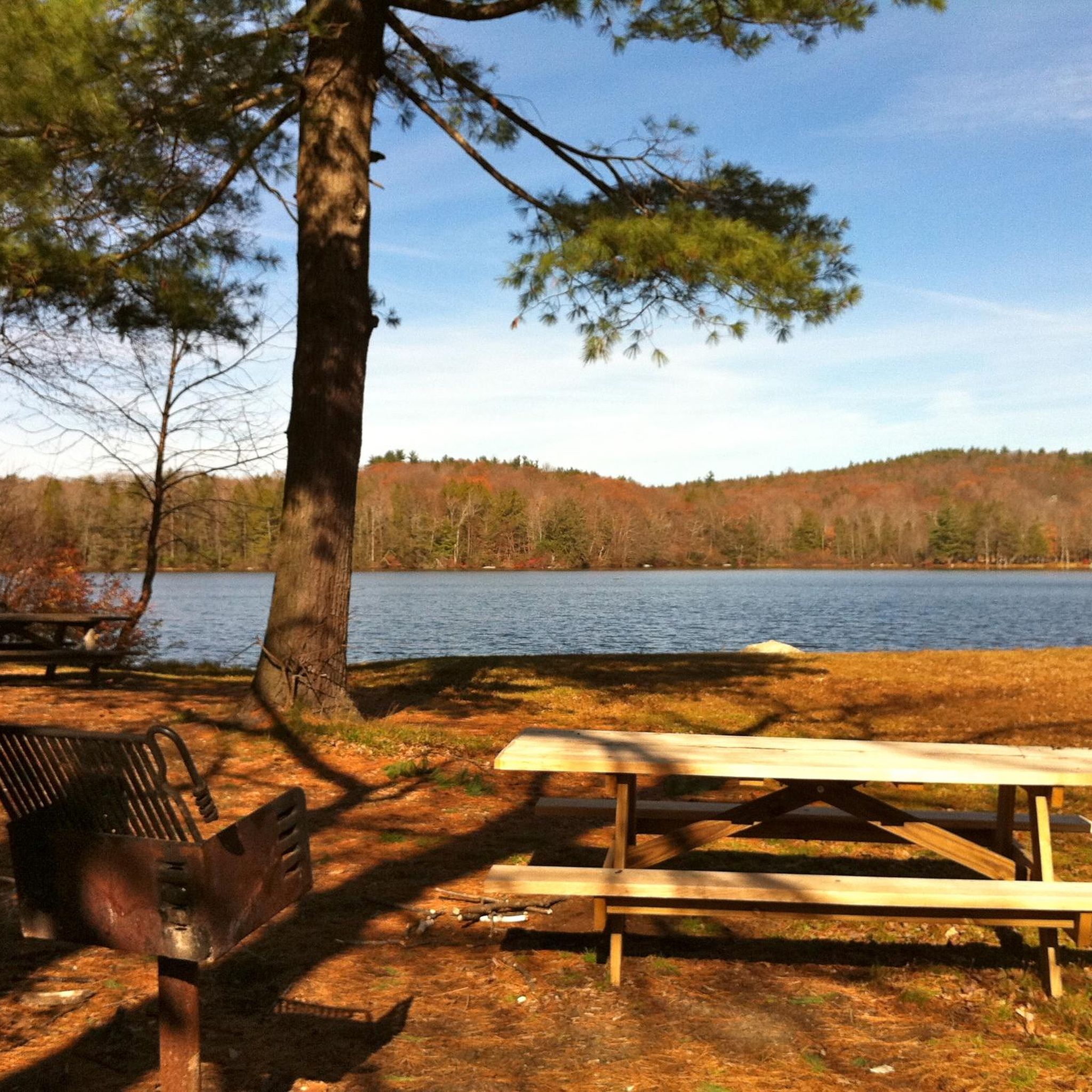
Mount Tom Pond has multiple swimming beaches around its shore as well as picnic areas.
0
0

Jones Pond is a small pond just off of Lakeside Road. This is a pretty place to slow down a little and look out over the water.
1
0

The Wigwam Brook Audubon Wildlife Sanctuary follows along Connecticut's picturesque Route 254. The landscape was made with both human help and natural forces. Former farmlands are now open fields. An old Christmas tree farm became was reclaimed by nature and is now a bird haven.
0
0

From 1903 to 1942, the site served as the rural campus of Columbia University's Engineering Department. Imagine students learning surveying, mining, and other practical skills amidst the serene Connecticut countryside.
0
0
Bantam Swamp is around and predominately south of Little Pond. It is a wetland teeming with wildlife, and it is a picturesque area to visit.
0
0
Topsmead State Forest was once the summer house of Edith Morton Chase, first president of the Chase Brass and Copper Company. When she died in 1972, she left her land to the state. Today, the home, built in the late 1920s, is officially on the National Register of Historic Places.
1
0
This 1.2-mile elevated boardwalk through White Memorial Conservation Center travels through wetlands to Little Pond. It crosses the Bantam River in two spots on its way to the pond.
0
0
Bantam Lake is the largest natural lake in Connecticut at 947 acres. The lake and the surrounding area, managed by the White Memorial Conservation Center, is known for its diverse and dense bird population.
0
0
Frequently Asked Questions
What kind of terrain can I expect on gravel bike trails around Torrington?
Gravel biking around Torrington, nestled in the Litchfield Hills, offers a diverse mix of terrain. You'll encounter rolling hills, extensive forested areas, and a network of mixed-surface roads. This includes unpaved roads, greenways, and trails within state parks, providing varied landscapes and elevation changes. Expect a blend of dirt roads, asphalt, and wide park trails, often with significant climbing.
Are there any beginner-friendly gravel bike routes in the Torrington area?
While many routes in the Litchfield Hills feature challenging climbs, there are options for varying skill levels. For a moderate experience, consider the Bantam Swamp – Bantam Swamp loop from Litchfield, which is 14.1 miles (22.6 km) long and navigates through the natural beauty of the Bantam Swamp area with a mix of surfaces. Another moderate option is the Bantam Swamp – Bantam Lake loop from Litchfield Historic District, covering 14.7 miles (23.7 km) with less elevation gain.
What are some scenic viewpoints or natural features to look out for on these trails?
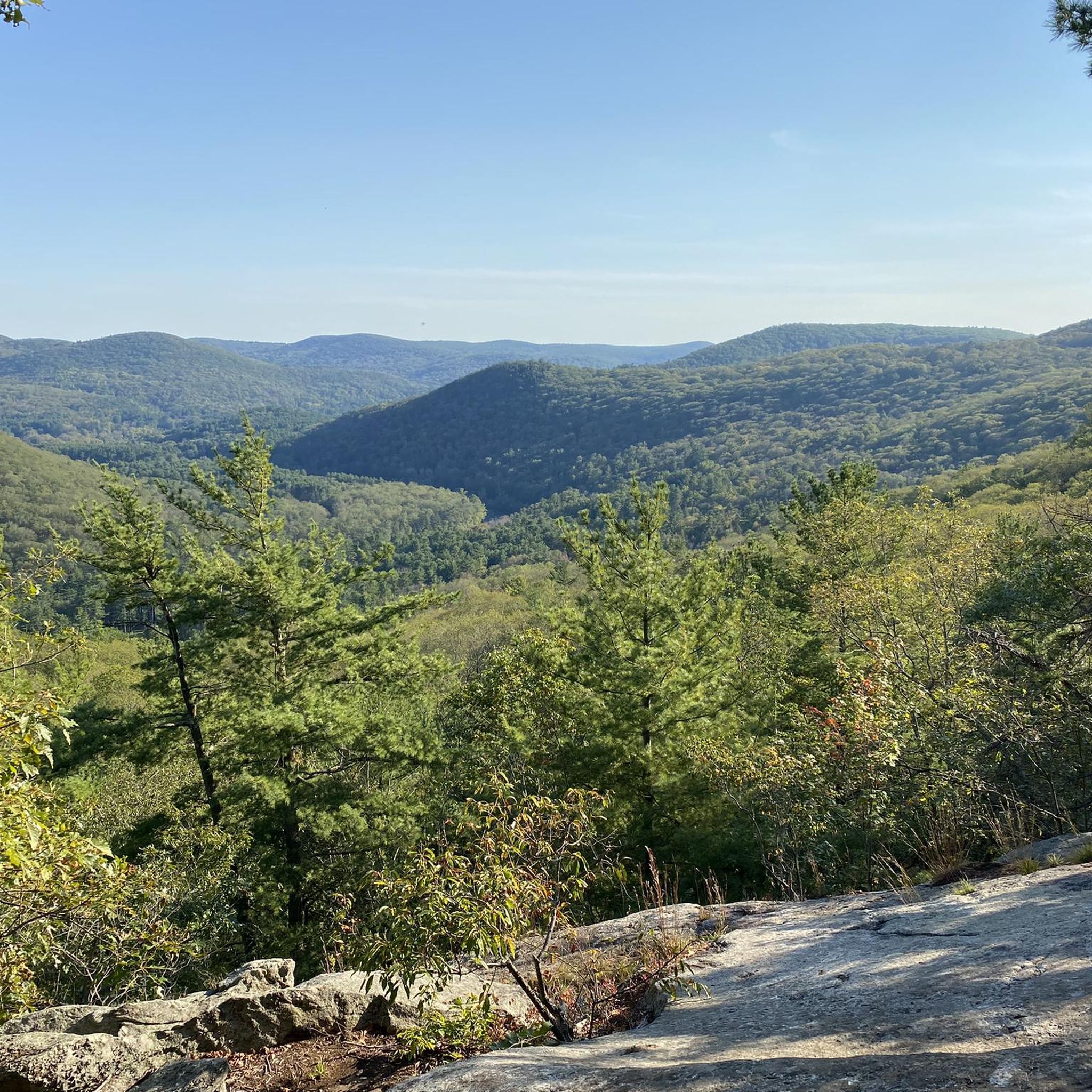
The Litchfield Hills are known for their scenic beauty. You can expect views of local forests, and some routes may offer glimpses of the shoreline of Lake Waramaug or the Farmington River. Specific natural features include the tranquil paths of the Still River Greenway, which cuts through riparian wetlands, and the diverse landscapes within Burr Pond State Park. You might also pass by Paugnut State Forest.
Are there any circular gravel bike routes available near Torrington?
Yes, all the gravel bike routes listed in this guide are circular loops, designed to bring you back to your starting point. Examples include the challenging Topsmead State Forest – Bantam Swamp loop from Litchfield Town Beach and the moderate Camp Columbia State Park – Jones Pond loop from Bantam.
What is the best time of year for gravel biking in Torrington?
The Litchfield Hills region is particularly beautiful during the fall, when the foliage transforms into vibrant colors, making it an especially scenic time for riding. Spring and summer also offer pleasant conditions for exploring the trails, though summer can be warm. Winter riding is possible but conditions can vary, with potential for snow and ice on unpaved roads.
Are there any family-friendly gravel biking options around Torrington?
While some routes involve significant climbing, the region's greenways, like sections of the Still River Greenway, often include packed earth or crushed stone sections that are well-suited for gravel bikes and can be more family-friendly. For specific routes, look for those described as 'moderate' with lower elevation gains, such as the Bantam Lake – Bantam Lake loop from Bantam.
Can I bring my dog on the gravel bike trails?
Many state parks and public lands in Connecticut allow dogs on trails, usually on a leash. However, specific regulations can vary by park or trail section. It's always best to check the rules for the particular area you plan to visit, such as Burr Pond State Park or Paugnut State Forest, to ensure dogs are permitted on the gravel paths you intend to ride.
Where can I find parking at the trailheads for gravel biking routes?
Specific parking information for each trailhead is usually detailed on the individual komoot tour pages. Generally, you can expect parking availability near popular starting points like Litchfield Town Beach or within state parks such as Camp Columbia State Park. Always check the tour details for the most accurate parking information before you go.
What are some of the longer or more challenging gravel bike routes in the area?
For a more challenging ride, the Topsmead State Forest – Bantam Swamp loop from Litchfield Town Beach is a difficult 25.0-mile (40.3 km) trail with significant elevation gain through varied forest and open landscapes. This route takes approximately 2 hours and 34 minutes to complete and offers a robust experience for advanced gravel bikers.
Are there any lakes or bodies of water visible from the gravel bike trails?
Yes, the region features several beautiful lakes and ponds. Some routes, like the Camp Columbia State Park – Jones Pond loop from Bantam, will take you past specific bodies of water such as Little Pond and Jones Pond. You might also encounter views of Lake McDonough or West Side Pond on other routes.
What do other gravel bikers say about the trails around Torrington?
The komoot community frequently praises the diverse terrain and scenic beauty of the Litchfield Hills. Riders often highlight the mix of surfaces, from dirt roads to greenways, and the challenging yet rewarding climbs. The area is appreciated for its 'all road' cycling philosophy, allowing for varied exploration and beautiful views, especially during the fall foliage season.
Most popular attractions around Torrington

Get inspired with the komoot mobile app


Explore more
Browse the best Gravel rides in other regions.
