The best walks and hikes around Penngrove
5.0
(5)
149
hikers
18
hikes
Hiking around Penngrove offers a variety of trails through diverse landscapes. The region features creek-side paths, open ridge trails, and routes leading to scenic overlooks. These hiking trails often traverse gentle hills and provide views of the surrounding valleys and natural areas.
Best hiking trails around Penngrove
- The most popular hiking route is Umbrella Tree Trail, a 2.1 miles (3.4 km) trail that takes 1 hour 4 minutes to complete, offering a pleasant walk through natural surroundings.
- Another top…
Last updated: June 24, 2026
3.05km
00:57
200m
0m
Enjoy an easy 1.9-mile hike to Bennett Valley Overlook for panoramic views of Sonoma County, gaining 657 feet in under an hour.
11.5km
02:55
30m
30m
Hike the moderate 7.1-mile Lynch Creek Trail and SMART Pathway Loop, enjoying creekside views and urban art in Petaluma.

Sign up for free
7
hikers
3.41km
01:04
140m
140m
Hike the easy 2.1-mile Umbrella Tree Trail to a scenic overlook with panoramic views in North Sonoma Mountain Regional Park.
1
hikers
7.94km
02:01
20m
20m
Hike the moderate 4.9-mile Copeland Creek Trail in Rohnert Park, featuring scenic creek views and the Butterfly Garden.
7.61km
01:56
20m
20m
Hike the easy 4.7-mile Bay Area Ridge Trail: Lynch Creek Trail in Petaluma, featuring paved paths, urban scenery, and the River Arch.
Get access to more routes and recommendations from other explorers.
Sign up for free
Already have an account?
Our route recommendations are based on thousands of hikes, rides, and runs completed by other people on komoot.
Start today with a free account
Your next adventure awaits.
Login or Signup
Popular around Penngrove

Tips from the Community

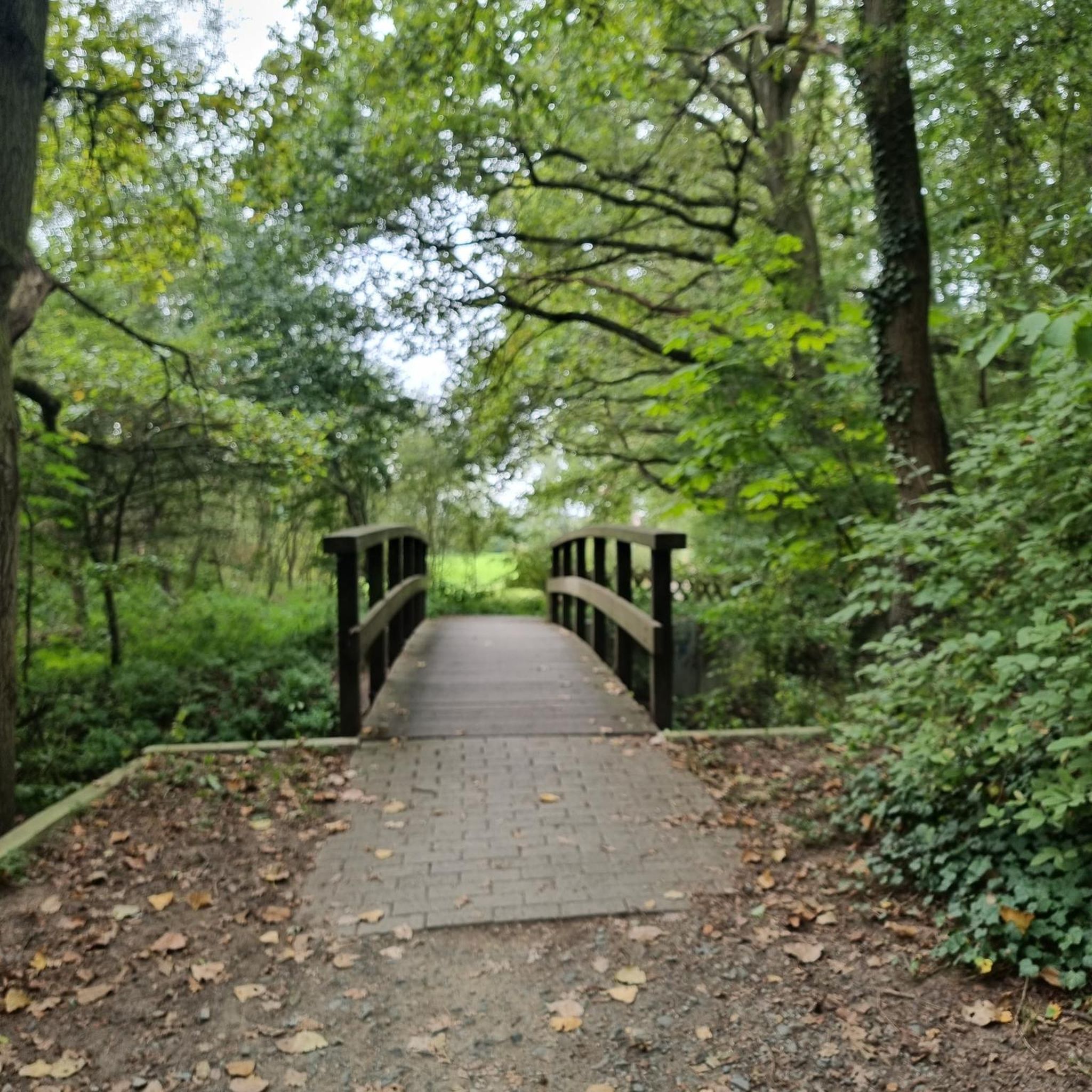
Copeland Creek Trail is a beautiful 4.9-mile paved path in the heart of Rohnert Park, ideal for walking, biking, or just a casual stroll through the tree-lined neighborhoods. The trail follows its namesake creek and connects parks, schools, and, on the east end, Sonoma State University, with butterfly gardens and a lovely duck pond.
0
0

Steamer Landing Park is a 10-acre park on the on McNear Peninsula. There are several miles of trails in the park, benches and picnic tables to take in the great views, and restrooms.
0
0
The River Front Trail is a short trail that runs along the Petaluma River. The trail is part of the Bay Area Ridge Trail and is a great place to walk near to the tranquil river.
0
0

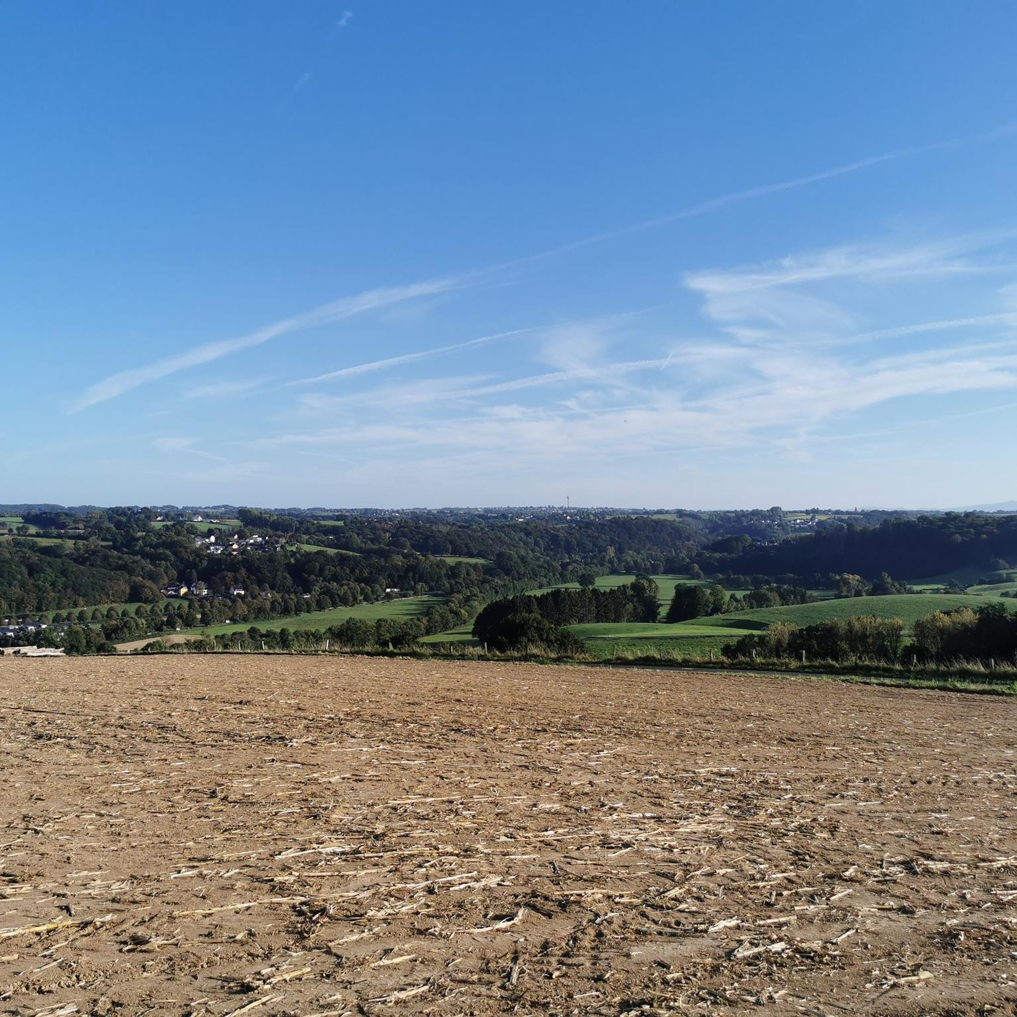
Umbrella Tree is a cluster of giant bay laurels. Along with spectacular views there is an informative sign at the top that points out major landmarks such as Santa Rosa, English Hill, Sebastopol, Bennet Valley and more. There is also a picnic table that's ideal for a snack with a view before you head back down.
0
0
Frequently Asked Questions
How many hiking trails are available around Penngrove?
Penngrove offers a diverse selection of over 15 hiking routes. These trails vary in difficulty, providing options from easy strolls to more moderate excursions through creek-side paths, open ridges, and scenic overlooks.
Are there easy hiking trails suitable for beginners in Penngrove?
Yes, Penngrove is very beginner-friendly, with 12 of its 18 routes classified as easy. A good option for a gentle introduction is the Umbrella Tree Trail, which is 2.1 miles (3.4 km) long and takes just over an hour to complete. Another accessible choice is the Bay Area Ridge Trail: Lynch Creek Trail, offering a pleasant 4.7-mile (7.6 km) path.
What are some longer hiking options in Penngrove?
For those seeking a longer hike, the Lynch Creek Trail and SMART Pathway Loop is a moderate 7.1-mile (11.5 km) route that typically takes around 2 hours 55 minutes. Another good option is the Copeland Creek Trail, a 4.9-mile (7.9 km) moderate trail that can be completed in about 2 hours.
Are there any loop hikes in Penngrove?
Yes, Penngrove features several loop options. The Lynch Creek Trail and SMART Pathway Loop is a notable circular route, offering a comprehensive experience of the area's diverse landscapes.
Are Penngrove's hiking trails suitable for families with children?
Many of Penngrove's trails are suitable for families, especially the easier routes. The region's gentle hills and creek-side paths provide a pleasant environment for children. The Umbrella Tree Trail is a shorter, easy option that families often enjoy.
Are dogs allowed on the hiking trails in Penngrove?
Many trails in the Penngrove area are dog-friendly, though leash requirements and specific regulations can vary by park or preserve. It's always best to check local signage or the specific trail's guidelines before heading out with your canine companion.
What kind of viewpoints can I expect on Penngrove hikes?
Hiking in Penngrove often leads to scenic overlooks and views of the surrounding valleys and natural areas. For example, the Bennett Valley Overlook route specifically highlights a prominent viewpoint, offering expansive vistas of the landscape.
What do other hikers enjoy most about hiking in Penngrove?
The hiking experience in Penngrove is highly rated by the komoot community, with an average score of 5.0 stars from over 5 reviews. Hikers often praise the diverse landscapes, including peaceful creek-side paths and open ridge trails, as well as the well-maintained routes that cater to various ability levels.
Are there any interesting landmarks or attractions near the hiking trails?
Yes, the Penngrove area is rich with points of interest. Nearby attractions include the historic town of Petaluma, the Petaluma Adobe, and the Washoe House. You can also explore sections of the North Sonoma Mountain Ridge Trail.
Is parking available at Penngrove trailheads?
Parking availability varies by trailhead. Many popular trail access points in the Penngrove area offer designated parking lots. It's advisable to check specific route details or local park information for the most accurate parking guidance before your visit.
Are permits required for hiking on Penngrove trails?
Generally, permits are not required for day hiking on most public trails in the Penngrove area. However, for specific regional parks or preserves, it's always a good practice to check their official websites for any updated regulations or special requirements, especially for larger groups or specific activities.
What is the best season for hiking in Penngrove?
Penngrove offers pleasant hiking conditions throughout much of the year. Spring brings wildflowers and mild temperatures, while fall provides comfortable weather and changing foliage. Summer can be warm, so early morning or late afternoon hikes are often preferred. Winter hiking is also possible, with cooler temperatures and lush green landscapes.
Most popular routes around Penngrove
Most popular attractions around Penngrove

Get inspired with the komoot mobile app


Explore more
Browse the best Hikes in other regions.
