The best running trails around Rana
70
runners
11
runs
Jogging around Rana offers a diverse range of routes through varied landscapes. The region features a mix of forested paths, riverside trails, and areas with gentle elevation changes, providing options for different fitness levels. These running routes often traverse natural reserves and areas adjacent to the town of Mo i Rana.
Best jogging routes around Rana
- The most popular jogging route is Running loop from Mo i Rana / Måefie, a 5.1 miles (8.2 km) trail that takes 52 minutes to complete, offering a moderate challenge.
- Another top favourite among local runners is Running loop from Lyngheim, a moderate 4.6 miles (7.4 km) path. This route features varied terrain with some elevation gain, typically completed in about 47 minutes.
- Local runners also love the Running loop from Engasjyen naturreservat, a 3.3 miles (5.3 km) trail leading through natural reserve areas, often completed in about 34 minutes.
- Jogging around Rana is defined by forested paths, riverside trails, and varied terrain. The network offers options for easy, moderate, and challenging running routes, catering to different ability levels.
- The guide includes highly-rated routes that showcase the best of the region's landscape. More than 70 runners have used komoot to explore Rana's varied terrain.
Last updated: July 3, 2026
10
runners
8.15km
00:52
100m
100m
Moderate run. Good fitness required. Mostly paved surfaces. Suitable for all skill levels.
9
runners
5.30km
00:34
80m
80m
Moderate run. Good fitness required. Mostly paved surfaces. Suitable for all skill levels.

Sign up for free
8
runners
8.57km
01:13
320m
320m
Hard run. Very good fitness required. Mostly paved surfaces. Suitable for all skill levels.
7
runners
4.77km
00:30
40m
40m
Easy run. Great for any fitness level. Mostly paved surfaces. Suitable for all skill levels.
5
runners
6.20km
00:39
70m
70m
Moderate run. Good fitness required. Mostly paved surfaces. Suitable for all skill levels.
Get access to more routes and recommendations from other explorers.
Sign up for free
Already have an account?
Our route recommendations are based on thousands of hikes, rides, and runs completed by other people on komoot.
Start today with a free account
Your next adventure awaits.
Login or Signup
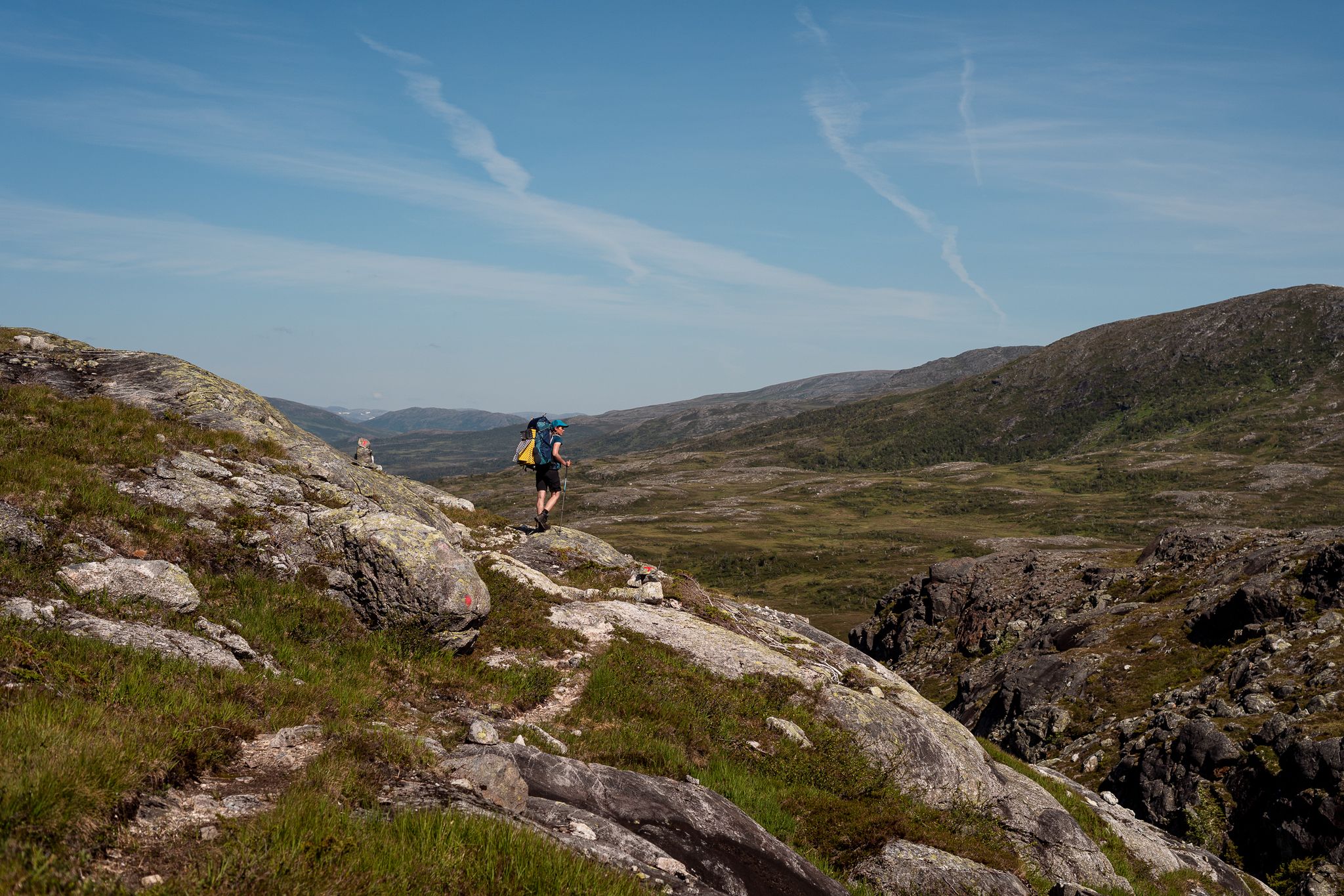
Other adventures around Rana

Tips from the Community

To get to the water, you have to use the underpass at the end of the pedestrian zone. No graffiti, just really beautiful paintings!
0
0

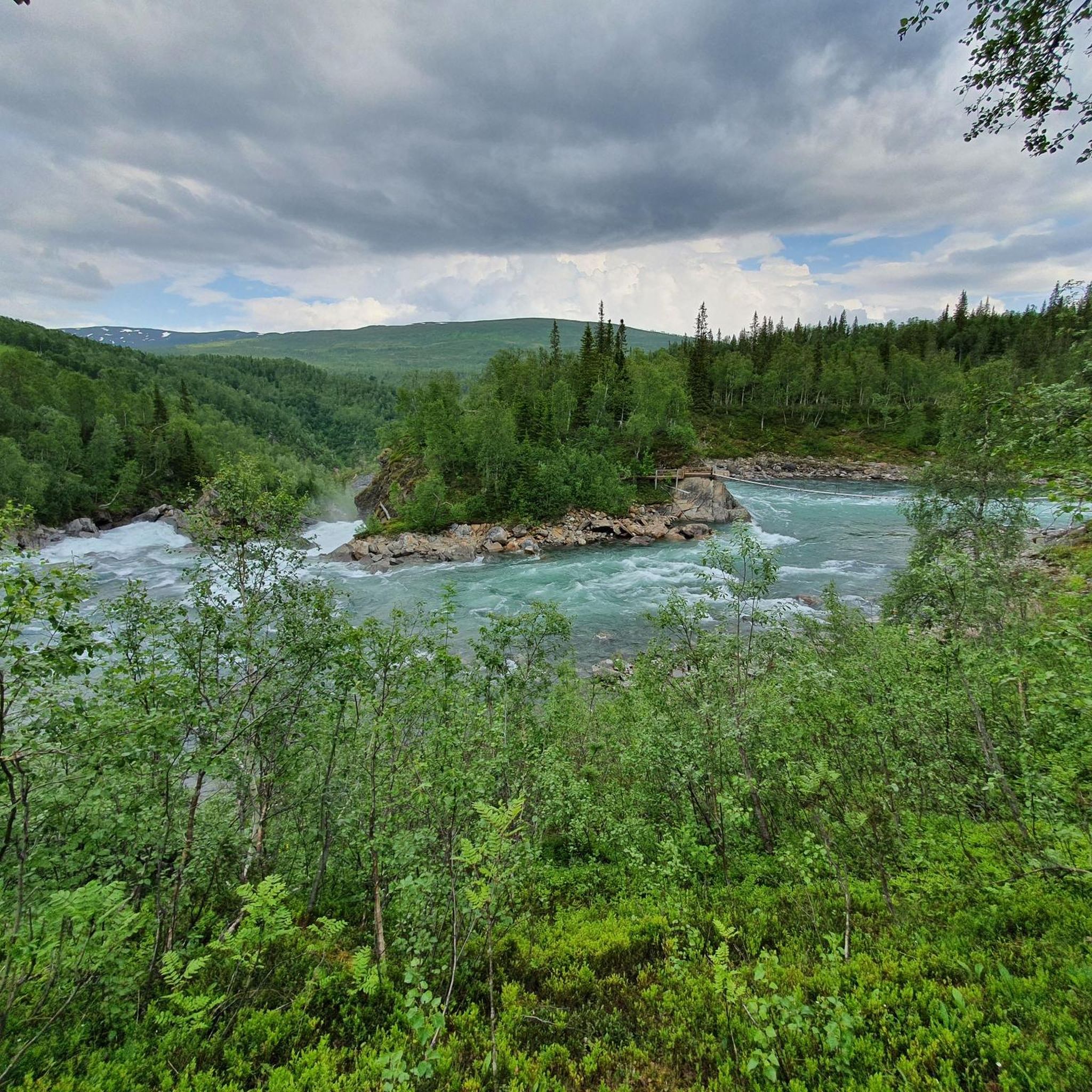
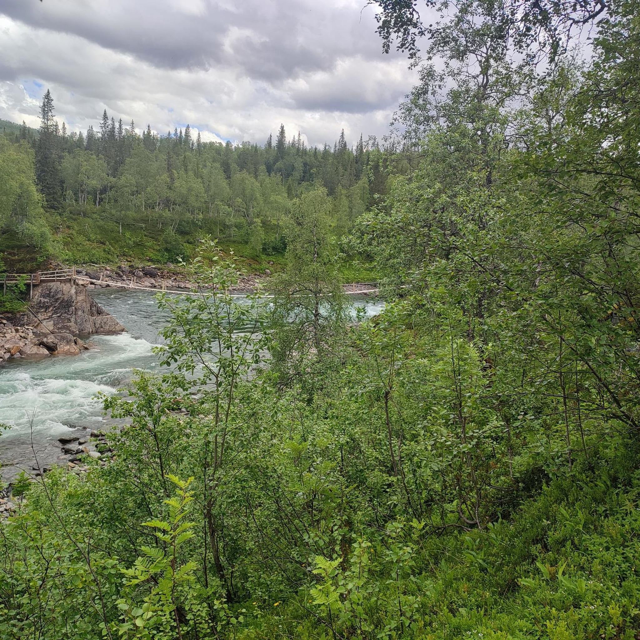
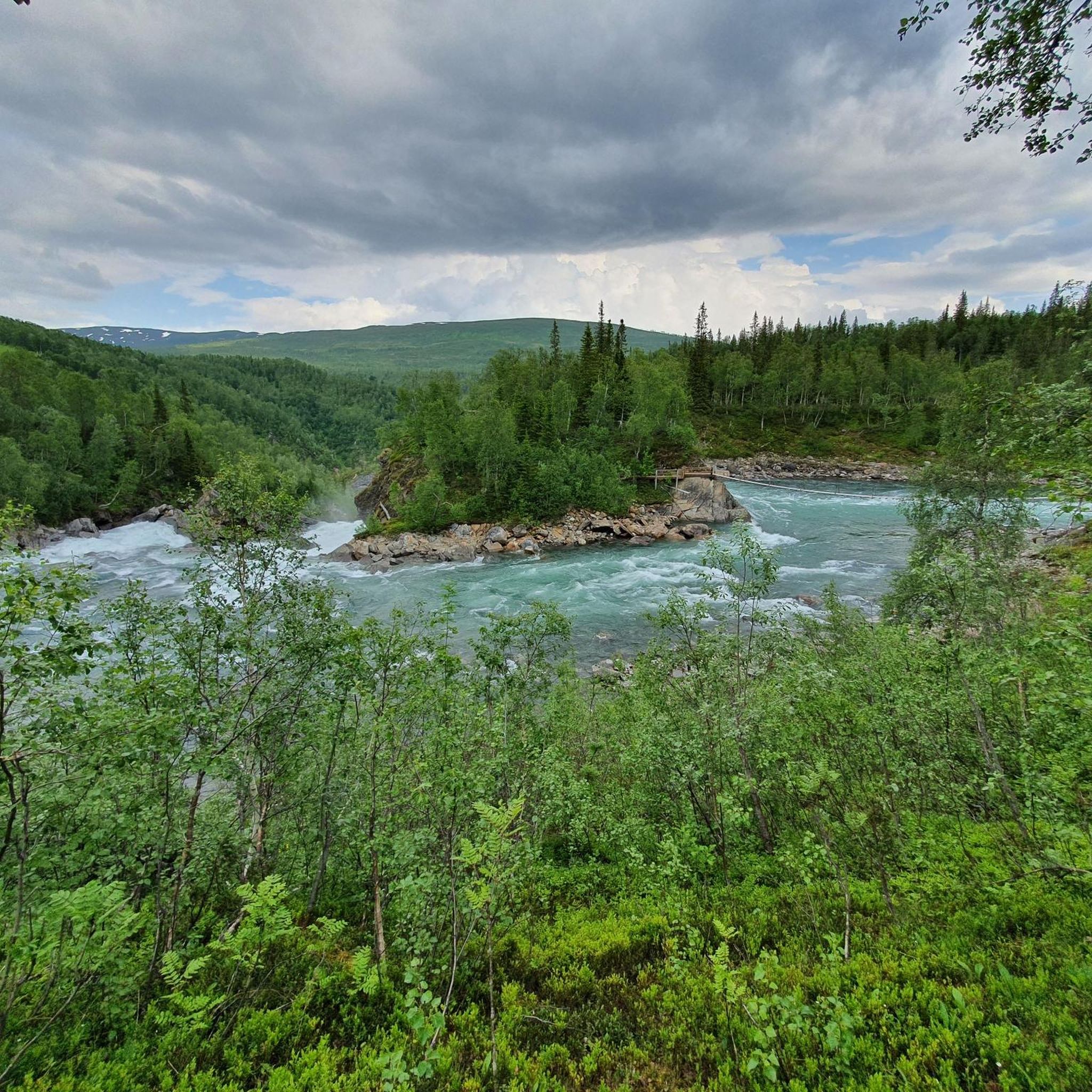
There are enough parking spaces and an information board here. The text: The hike is about 8 km long, takes 3-4 hours and runs through the Saltfieldlet-Svartisen National Park. It reaches the unique mountain farms Granneset, Bredek and Inner-Bredek. You can also extend the hike to Stormdalsgräden. The buildings here date from the 19th century and are partly protected monuments. Granneset, Inner-Bredek and Stormdalsgärden are open accommodations and belong to Statskog. Bredek belongs to the Helgeland Museum and is closed. On the way along the Bredek loop you experience untouched nature and wild landscapes as well as cultural landscapes that have been preserved around the mountain farms. There are fast-flowing rivers, roaring waterfalls and a few suspension bridges along the way. Granneset is the northern end point for naturally occurring Norway spruce, and the area is botanically, geologically and biologically diverse.
2
0
Frequently Asked Questions
How many running routes are available in the Rana region?
Rana offers a selection of 11 diverse running routes, catering to various fitness levels. These include 2 easy, 6 moderate, and 3 challenging trails.
Are there easy running trails suitable for beginners in Rana?
Yes, Rana has several easy running trails perfect for beginners or those looking for a relaxed jog. One excellent option is the Sjøforsen loop from Selfors, which is 4.8 km (3 miles) long with minimal elevation gain.
Where can I find more challenging running routes in Rana?
For runners seeking a greater challenge, Rana offers routes with more significant elevation changes. The Running loop from Stormdalsheia is a difficult 8.6 km (5.3 miles) trail with over 300 meters of ascent, providing a demanding workout.
Are there any scenic running routes in Rana?
Many of Rana's running routes are quite scenic, often traversing forested paths, riverside trails, and natural reserves. The Running loop from Engasjyen naturreservat is a great choice for enjoying the natural beauty of the area.
What kind of terrain can I expect on jogging trails around Rana?
Jogging around Rana offers a varied landscape. You can expect a mix of forested paths, tranquil riverside trails, and areas with gentle to moderate elevation changes, providing diverse running experiences.
Are there any long-distance running options in Rana?
While most routes are moderate in length, you can combine trails or explore longer loops. The Running loop from Mo i Rana / Måefie is one of the longer options at 8.2 km (5.1 miles), and the Running loop from Stormdalsheia is also a substantial 8.6 km (5.3 miles).
What interesting landmarks or attractions can I see near the running routes in Rana?
Rana is rich in natural and cultural attractions. Nearby highlights include the iconic Arctic Circle Center (66°33′N), the stunning Marmorslottet (Marble Castle) gorge, and the majestic Svartisen Glacier and Lake. You might also encounter the Suspension Bridge Over Vefsna.
Are there any running routes that are circular in Rana?
Yes, many of the popular running routes in Rana are designed as loops, offering a convenient circular experience. Examples include the Running loop from Lyngheim and the Running loop from Mo i Rana / Måefie.
What do other runners say about the trails in Rana?
Over 70 runners have explored Rana's varied terrain using komoot. Users often praise the diverse landscapes, from forested paths to riverside trails, and appreciate the options available for different fitness levels.
Can I find running routes that are less crowded in Rana?
While specific crowd levels vary, exploring routes slightly outside the immediate town center of Mo i Rana, or opting for trails within natural reserve areas like the Running loop from Engasjyen naturreservat, can often lead to a more tranquil experience.
Are there any running routes accessible from Mo i Rana?
Absolutely. The town of Mo i Rana serves as a great starting point for many routes. A prime example is the Running loop from Mo i Rana / Måefie, which starts directly from the town and offers a moderate 8.2 km (5.1 miles) run.
Most popular routes around Rana
Most popular attractions around Rana

Get inspired with the komoot mobile app


Explore more
Browse the best Running Trails & Routes in other regions.
