The best walks and hikes around Lough Scur
4.9
(7)
47
hikers
4
hikes
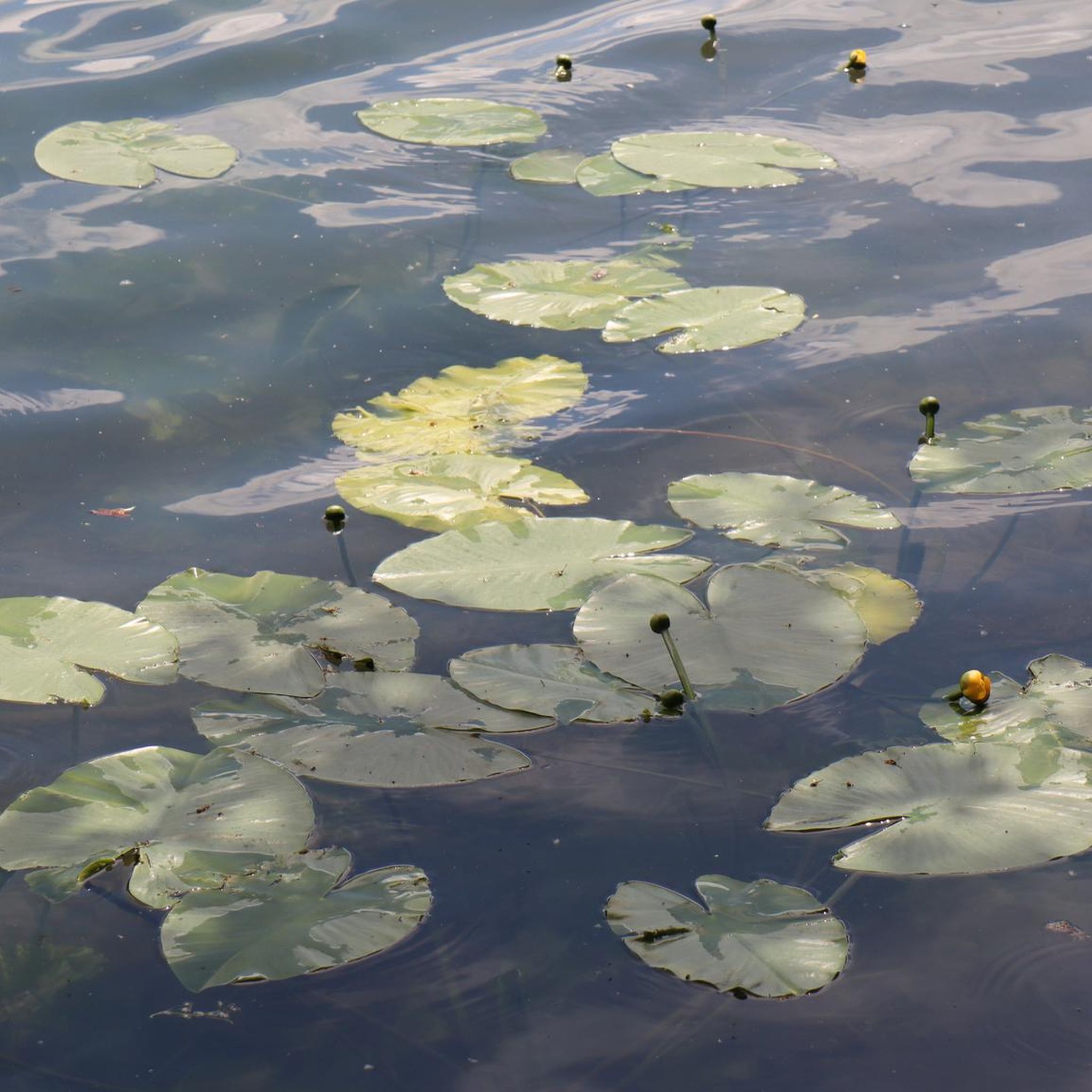
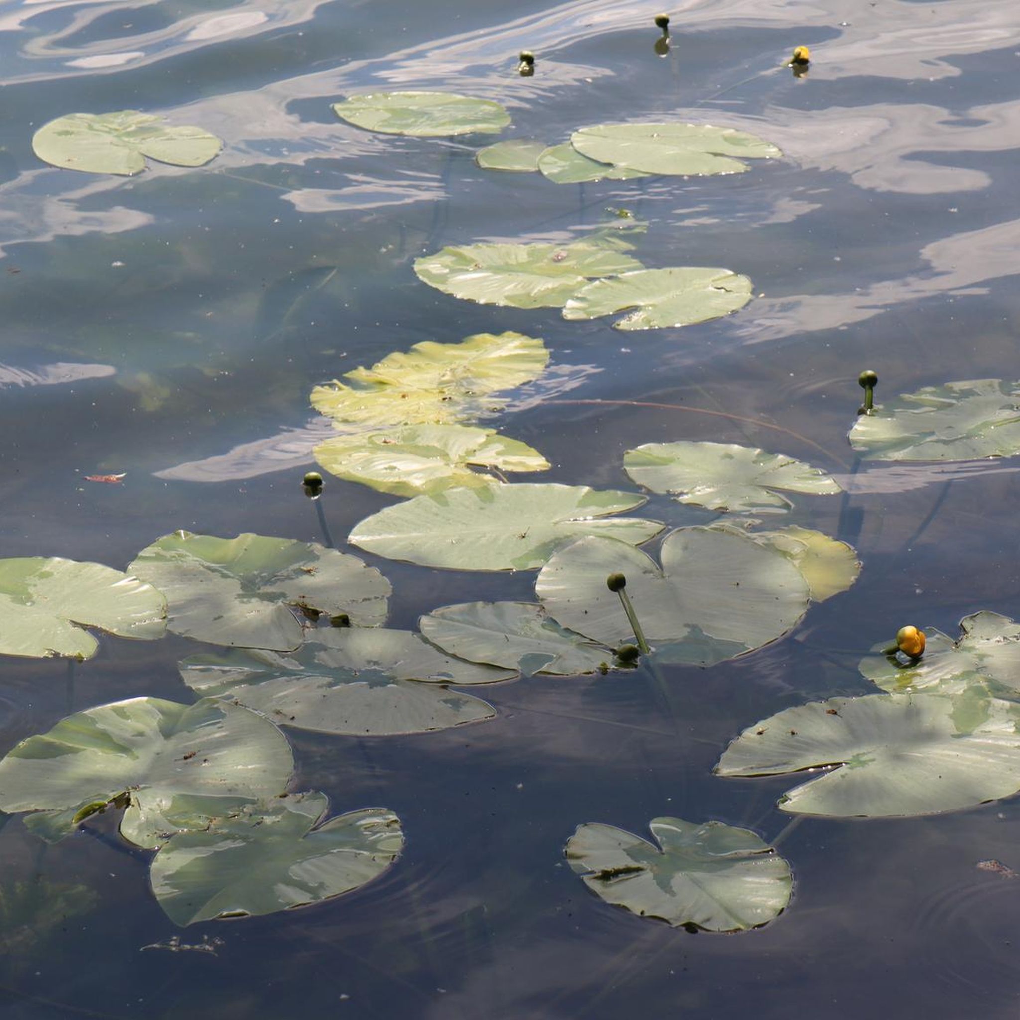
Hiking around Lough Scur offers exploration of a freshwater lake environment within County Leitrim, Northwest Ireland. The region is characterized by rolling hills, serene lakes, and tranquil waterways, forming part of the Shannon–Erne Waterway. The landscape provides opportunities for walks through peaceful countryside, gentle woodlands, and lakeside paths. Historical features such as ancient crannogs and dolmen tombs are integrated into the natural setting.
Best hiking trails around Lough Scur
- The most popular hiking route is Sliabh An Iarainn trail to…
Last updated: August 11, 2026
5.0
(1)
6
hikers
4.09km
01:25
240m
240m
Easy hike. Great for any fitness level. Easily-accessible paths. Suitable for all skill levels.
3
hikers
5.42km
01:47
300m
300m
Moderate hike. Good fitness required. Easily-accessible paths. Suitable for all skill levels.

Sign up for free
5.0
(1)
6
hikers
9.66km
02:39
150m
160m
Moderate hike. Good fitness required. Easily-accessible paths. Suitable for all skill levels.
4.7
(3)
22
hikers
12.0km
03:03
40m
40m
Moderate hike. Good fitness required. Easily-accessible paths. Suitable for all skill levels.
5.0
(2)
3
hikers
Moderate hike. Good fitness required. Easily-accessible paths. Suitable for all skill levels.
Our route recommendations are based on thousands of hikes, rides, and runs completed by other people on komoot.
Start today with a free account
Your next adventure awaits.
Login or Signup
Popular around Lough Scur
Tips from the Community

Sliabh an Iarainn, the Iron Mountain, imposes itself impressively on the surrounding landscapes. Its summit is less spectacular than its great east-facing escarpment and is much less visited than Mass Rock, a stunning rock feature within its ramparts. Clear trails provide the approach, though any continuation to the summit is pathless and requires navigational nous.
0
0

Aghoo Bridge crosses the Shannon–Erne Waterway. It's an access point for the waterside trail and an escape point to reach the nearby Riversdale Farm B&B.
0
0
The Tullylacken trail is a 10 km (6 mile) waymarked trail which follows blue (and purple) markers. It roughly follows a loop around the Yellow River valley, crossing fields, moorland and through some woodland.
0
0
Quiet country road which winds up from Ballinamore to the Pass of Bencroy. As well as being a good cycling road there are lots of access points for walking routes.
0
0
With its picturesque scenery, serene waters and attendant gastropubs, the Shannon-Erne Waterway is popular with cruisers and visitors. It links the Shannon Navigation and the Erne System, two of the nation's great waterways. This section near Ballinamore makes for a pleasant amble.
0
0
An attractive waterside town, Ballinamore has much to offer visitors. Its lively streets host good pubs and restaurants, while a stroll along the towpath of the Shannon-Erne Waterway is very pleasant. The town is renowned for its abundance of coarse angling waters.
0
0
This lock on the Shannon–Erne Waterway features on the Ballinamore Town Loop, a picturesque route that makes full use of the canal's towpath. With its rich heritage and waterside setting, Ballinamore itself is a great place to explore and is particularly renowned for its wealth of coarse angling waters.
0
0
Frequently Asked Questions
How many hiking trails are available around Lough Scur?
There are 4 hiking routes around Lough Scur featured in this guide, ranging from easy to moderate difficulty. These trails offer a variety of experiences, from lakeside strolls to more challenging climbs with historical significance.
What are some easy hiking options around Lough Scur?
For an easier hike, consider the Sliabh An Iarainn trail to the Mass Rock. This route is approximately 4.1 km long and offers a gentle introduction to the area's natural beauty and historical sites.
Are there any circular walks in the Lough Scur area?
Yes, the Sliabh an Iarainn summit and Mass Rock loop is a moderate circular route, spanning about 5.4 km. It allows you to experience both the summit views and the historic Mass Rock before returning to your starting point.
What historical sites or landmarks can I see while hiking around Lough Scur?
The Lough Scur area is rich in history. You can explore ancient sites like the Lough Scur Dolmen Tomb and the Aghascur Druid's Altar. The region also features remnants of crannogs (ancient artificial islands) and the protected historical site of Castle John. Many trails, such as those on Sliabh an Iarainn, lead to significant historical points like the Mass Rock.
Are the hiking trails around Lough Scur suitable for families?
The area offers a peaceful countryside setting with gentle walks that can be suitable for families. The Sliabh An Iarainn trail to the Mass Rock is an easy option that families might enjoy. Always check the specific route details for distance and elevation to ensure it matches your family's capabilities.
Can I bring my dog on the trails around Lough Scur?
While specific dog-friendly regulations for individual trails are not always explicitly stated, County Leitrim's countryside generally welcomes responsible dog owners. It's always best to keep dogs on a leash, especially near livestock or protected natural areas, and to clean up after them. Please respect local signage and guidelines.
What is the best time of year to hike in Lough Scur?
The tranquil waterways and rolling hills of Lough Scur are beautiful year-round. Spring and summer offer lush greenery and milder weather, ideal for enjoying the lakeside scenery. Autumn brings vibrant colours to the landscape. Winter hikes are possible, but be prepared for potentially wet and cooler conditions typical of Northwest Ireland.
Where can I find parking for hikes around Lough Scur?
While specific parking details for each trailhead are not provided, towns like Keshcarrigan, adjacent to Lough Scur, serve as access points to the Shannon-Erne Waterway and its surroundings, often providing public parking facilities. Look for designated parking areas near trailheads or access points to the lake and waterways.
Are there options for longer hikes in the area?
Yes, for those seeking longer walks, routes like the Lough Allen Canal to Acres Lough out and back (approximately 12 km) or the Shannon–Erne Waterway out and back from Golf Links Road to Aghoo Bridge (approximately 12.2 km) offer extended walking experiences along picturesque waterways.
What kind of terrain can I expect on the Lough Scur trails?
The terrain around Lough Scur and County Leitrim generally consists of rolling hills, serene lakeside paths, and tranquil waterways. You can expect a mix of forest paths, quiet country lanes, and gentle uplands. Some routes, particularly those ascending Sliabh an Iarainn, will involve more significant elevation changes, offering rewarding views.
What do other hikers enjoy most about hiking in Lough Scur?
The area is highly rated by the komoot community, with an average score of 4.9 stars. Reviewers often praise the peaceful countryside, the blend of natural beauty with ancient historical sites, and the opportunity for tranquil lakeside and waterway strolls away from crowded paths.
Most popular routes around Lough Scur

Get inspired with the komoot mobile app


