The best cycling routes around Årdalsvatnet
4.5
(4)
74
riders
4
rides
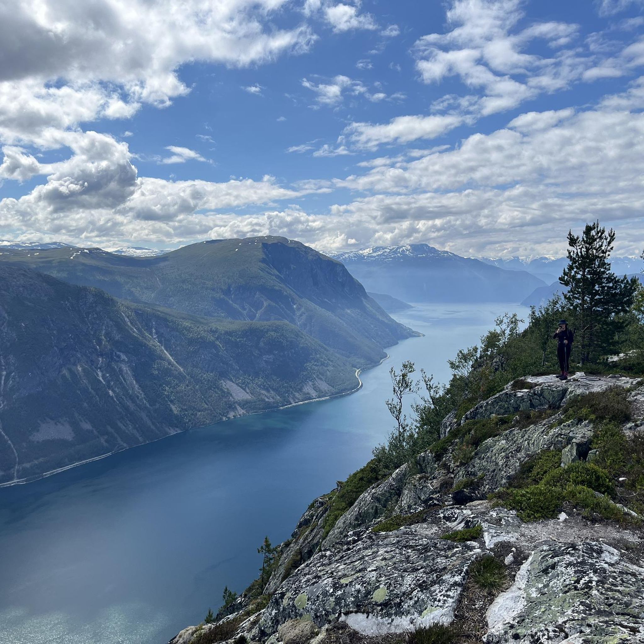
Touring cycling routes around Årdalsvatnet are set within a landscape characterized by towering mountains, deep fjords, and emerald green waters at the innermost end of the Sognefjord. The region serves as a gateway to Jotunheimen National Park, featuring rugged terrain and alpine valleys. Cycling paths often provide views of the fjord and surrounding peaks, with significant elevation changes and dramatic cliffs.
Best touring cycling routes around Årdalsvatnet
- The most popular touring cycling route is Gjotelii – View of Årdal and…
Last updated: October 4, 2026
5.0
(1)
39
riders
43.3km
04:20
1,520m
1,520m
Hard bike ride. Very good fitness required. Mostly paved surfaces. Suitable for all skill levels.
5.0
(1)
10
riders
Hard bike ride. Very good fitness required. Mostly paved surfaces. Suitable for all skill levels.

4.0
(1)
13
riders
28.1km
03:20
1,350m
1,350m
Hard bike ride. Very good fitness required. Mostly paved surfaces. Suitable for all skill levels.
4.0
(1)
12
riders
22.8km
02:39
1,100m
1,100m
Hard bike ride. Very good fitness required. Mostly paved surfaces. Suitable for all skill levels.
Our route recommendations are based on thousands of hikes, rides, and runs completed by other people on komoot.
Start today with a free account
Your next adventure awaits.
Popular around Årdalsvatnet
Tips from the Community

It is Norway's and Northern Europe's highest unregulated waterfall. Vettisfossen has a free fall of 275 meters down from Vettismorki, a gentle plateau with seats and old pine forest.
0
0

If hiking up from Hjelle, Avdalfossen is the first waterfall you'll come to when exploring beautiful Utladalen. It's not as high as the famous Vettisfossen but it's a magnificent sight nonetheless. The drop is something in the region of 560 feet (170 m).
0
0
Since explorers first started coming to Utladalen in the 1800s, Vetti Gard has been an important stop. From here, it's not far to the mighty Vettisfossen, one of Norway's great waterfalls. During the summer season, you can purchase a simple meal here and there's accommodation too.
0
0
If you love waterfalls and you love running, a run along the Folkevegen will delight. Avdalfossen is just one of the spectacular cascades you'll see. Top billing goes to Vettisfossen, Northern Europe's highest free-falling waterfall, which is further along the valley.
0
0
Providing accommodation for those visiting the spectacular Vettisfossen, Vetti Gard Tourist Station is a charming place to stay. The farm serves food during the summer months.
1
0

The beautiful waterfall can be easily reached from the road.
1
0
Great waterfall, which branches out like a fan in the lower part.
1
0

Old bridge. You can't walk over the bridge shown. Parallel to it is a new, solid, and stable bridge.
2
0
Frequently Asked Questions
What is the general difficulty level of touring cycling routes around Årdalsvatnet?
The touring cycling routes around Årdalsvatnet are predominantly challenging, with 4 out of 5 routes listed as 'difficult' and 1 as 'moderate'. This is due to the region's mountainous terrain, featuring significant elevation changes and steep climbs, characteristic of the Sognefjord area and its proximity to Jotunheimen National Park.
Are there any routes suitable for beginners or those looking for an easier ride?
While most routes are difficult, there is one moderate option: the Vetti Gard turiststasjon loop from Sletterust. This 11 km route offers a less strenuous experience compared to the longer, more demanding trails, making it a good choice for those seeking a more relaxed touring cycle.
What kind of natural features and viewpoints can I expect to see while cycling?
Cyclists can expect dramatic landscapes with towering mountains, deep fjords, and emerald green waters. Routes often provide panoramic views of Årdal and the Årdalsfjord. The region is also a gateway to Jotunheimen National Park, and the Utladalen valley, known as Norway's Grand Canyon, features dramatic cliffs and the impressive Vettisfossen, Norway's tallest free-falling waterfall. The 'Tusenmeteren' viewpoint offers stunning vistas towards the Hurrungane peaks.
Are there any circular touring cycling routes available?
Yes, many of the touring cycling routes around Årdalsvatnet are designed as loops. For example, the View of Årdal and Årdalsfjord loop from Resaland is a 22.8 km circular route that allows you to start and end in the same location while enjoying the scenic views.
What is the best time of year for touring cycling in the Årdalsvatnet region?
The best time for touring cycling in the Årdalsvatnet region is generally during the summer and autumn months. During this period, the scenic roads like Tindevegen and Tyin–Årdal Road are typically open, and weather conditions are more favorable for exploring the mountainous terrain and enjoying the fjord views.
Can I bring my dog on the touring cycling routes?
While the komoot routes themselves don't specify dog-friendliness, the general outdoor areas around Årdalsvatnet and Utladalen are popular for hiking with dogs. It's advisable to keep dogs on a leash, especially in protected areas or near livestock, and to check local regulations for specific trails or national park sections you plan to cycle through.
Are there any family-friendly cycling options in the area?
Given the predominantly difficult terrain and significant elevation changes, most touring cycling routes around Årdalsvatnet are more suited for experienced cyclists. However, families with older, more capable children might enjoy the moderate Vetti Gard turiststasjon loop from Sletterust, which is shorter and has less demanding climbs.
What are the typical durations for touring cycling routes in Årdalsvatnet?
The durations for touring cycling routes vary significantly based on their length and difficulty. For instance, the moderate Vetti Gard turiststasjon loop from Sletterust can be completed in about 1 hour and 5 minutes, while more challenging routes like the View of Årdal and Årdalsfjord loop from Resaland may take around 3 hours and 14 minutes.
What do other touring cyclists say about the routes in Årdalsvatnet?
The touring cycling routes in Årdalsvatnet are highly rated by the komoot community, with an average score of 4.5 stars from more than 4 reviews. Cyclists often praise the dramatic scenery, the challenging climbs, and the rewarding views of the fjord and surrounding mountains.
Are there any specific landmarks or attractions to look out for along the routes?
Yes, the region is rich in natural landmarks. The Utladalen valley is a major attraction, leading to Vettisfossen waterfall. The Tindevegen road, popular with cyclists, offers breathtaking views of snow-capped peaks. The 'Tusenmeteren' viewpoint provides panoramic vistas of the Hurrungane peaks, including Mount Storen, and features a descent with 26 sharp switchbacks down to Årdal.
Where can I find parking for the touring cycling routes?
Specific parking information for each route is best found on the individual tour pages. However, common starting points like Øvre Årdal and Resaland, mentioned in several route descriptions, are good places to look for parking facilities, as they are often hubs for outdoor activities in the region.
Are there any cafes or places to eat along the touring cycling routes?
The villages of Øvre Årdal and Årdalstangen, located near many of the starting points for these routes, offer various amenities including cafes and accommodation. While specific cafes directly on the trails are less common in this rugged terrain, these towns provide good options for refreshments before or after your ride.
Most popular routes around Årdalsvatnet

Get inspired with the komoot mobile app


Explore more
Browse the best Cycling routes in other regions.
