The best road cycling routes in Svaet Dyrefredningsområde
5.0
(2)
50
riders
5
rides
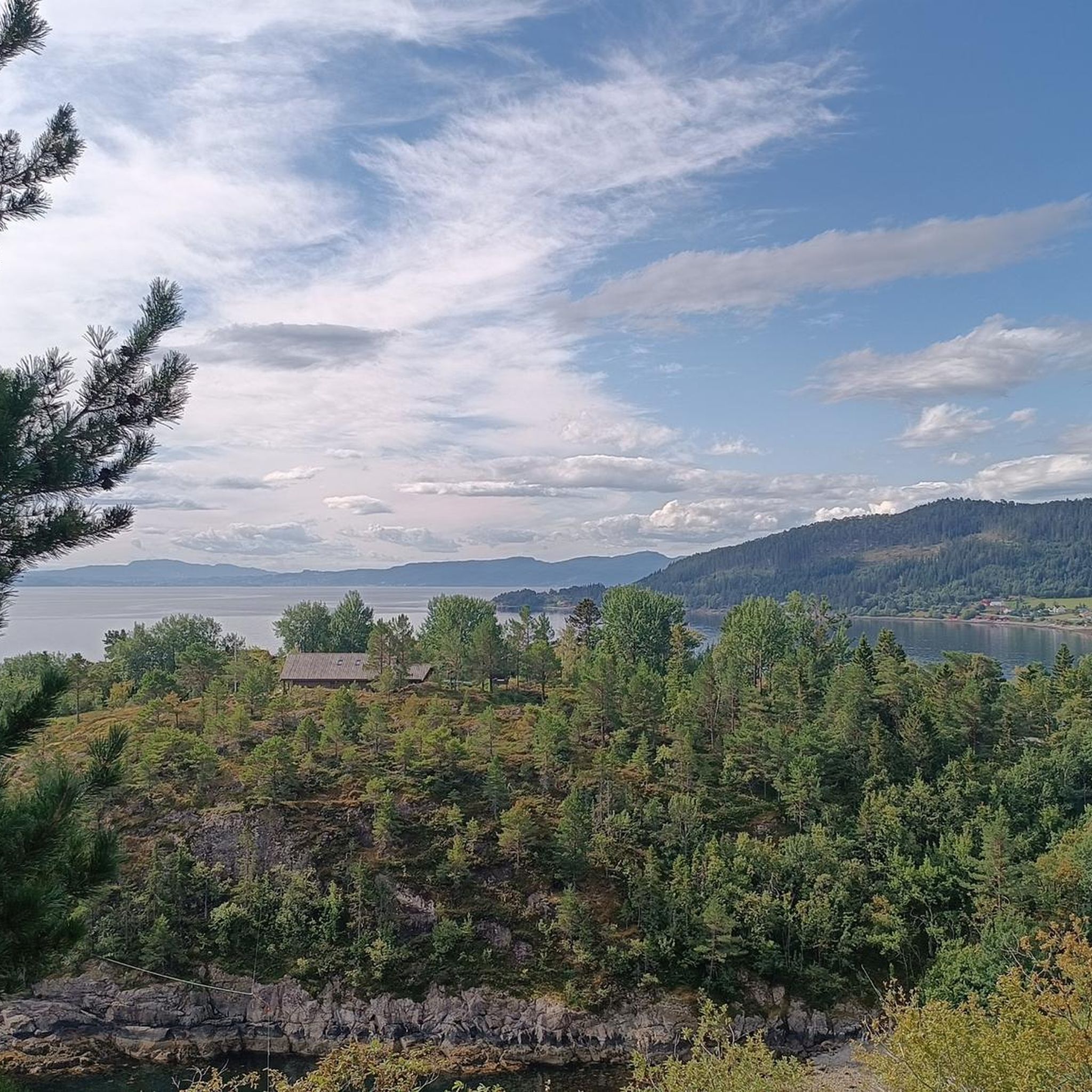
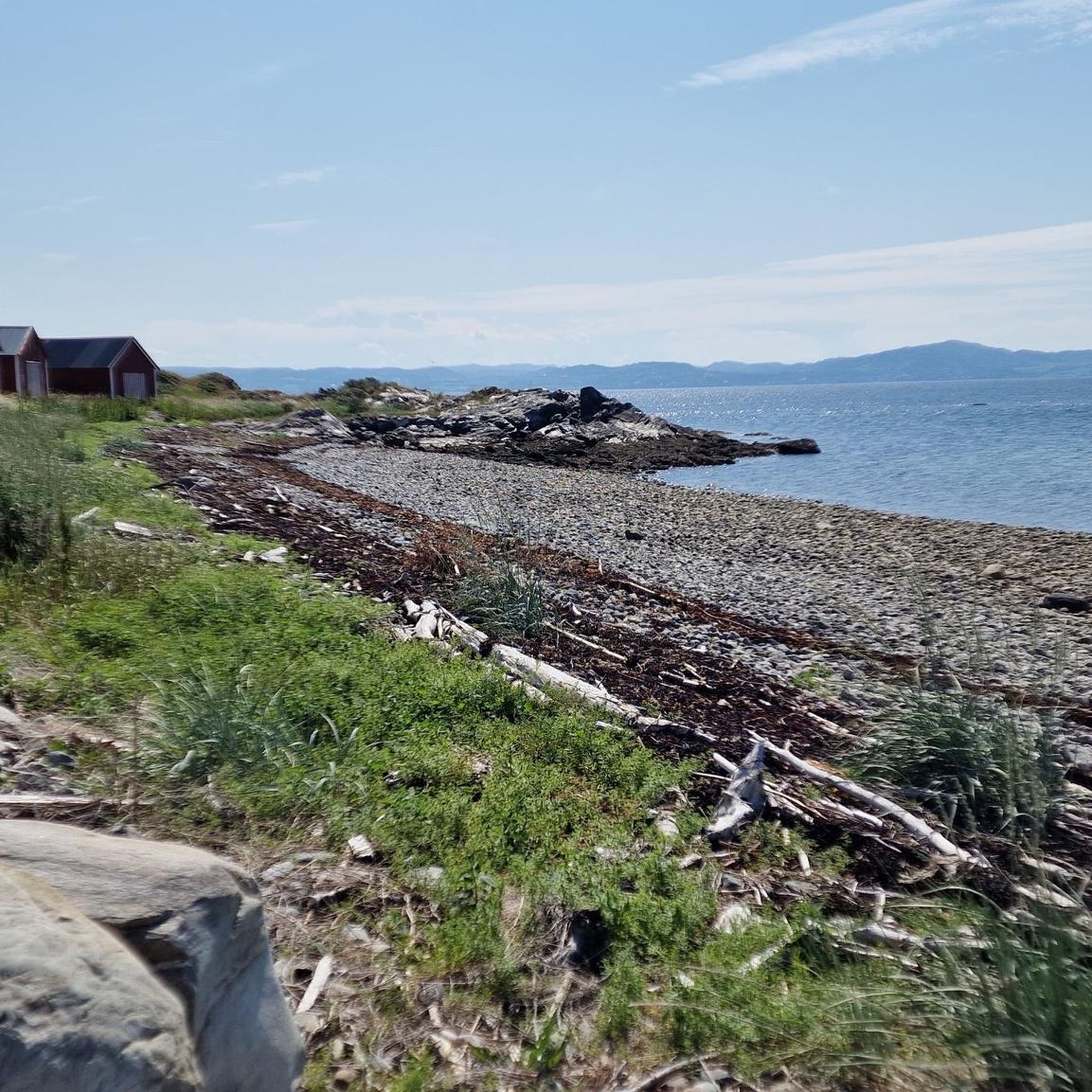
Road cycling routes in Svaet Dyrefredningsområde are characterized by low-lying coastal terrain, offering relatively flat paths with expansive views of the Trondheimsfjord. The region, part of the Tautra and Svaet Ramsar site, features shallow intertidal marine waters, mudflats, and sandflats. Cyclists traverse a lush cultural landscape known for agriculture and historical sites, with many routes on mostly paved surfaces. The area's lack of significant elevation changes makes it suitable for various fitness levels.
Best road cycling routes in Svaet Dyrefredningsområde
- The most popular road cycling route is Liavatnet loop from Logtun kirke, a 17.6 miles (28.3 km) trail that takes 1 hour 35 minutes to complete. This moderate route offers views of the coastal landscape.
- Another top favourite among local road cyclists is Sottjønna – Liavatnet loop from Logtun kirke, a moderate 39.1 miles (62.9 km) path. This longer route explores the cultural landscape of the Frosta region.
- Local road cyclists also love the Liavatnet loop from Frosta kirke, a 10.9 miles (17.5 km) trail leading through the Frosta area, often completed in about 51 minutes. This easy route provides an accessible option for exploring the surroundings.
- Road cycling in Svaet Dyrefredningsområde is defined by flat coastal roads, fjord views, and agricultural landscapes, including routes around Tautra Island. The network offers options for different ability levels, from easy to difficult.
- The routes in Svaet Dyrefredningsområde are highly rated by the komoot community with an average score of 5.0 stars from a few reviews. More than dozens of road cyclists have used komoot to explore Svaet Dyrefredningsområde's varied terrain.
Last updated: July 11, 2026
3
riders
28.3km
01:35
340m
340m
Moderate road ride. Good fitness required. Mostly well-paved surfaces and easy to ride.
5.0
(1)
13
riders
62.9km
03:00
830m
830m
Moderate road ride. Good fitness required. Some segments of this route may be unpaved and difficult to ride.

Sign up for free
7
riders
59.1km
03:12
890m
890m
Moderate road ride. Good fitness required. Some segments of this route may be unpaved and difficult to ride.
2
riders
17.5km
00:52
260m
260m
Easy road ride. Great for any fitness level. Mostly well-paved surfaces and easy to ride.
5.0
(1)
25
riders
83.4km
03:57
1,040m
1,040m
Hard road ride. Very good fitness required. Some segments of this route may be unpaved and difficult to ride.
Our route recommendations are based on thousands of hikes, rides, and runs completed by other people on komoot.
Start today with a free account
Your next adventure awaits.
Login or Signup
Popular around Svaet Dyrefredningsområde
Tips from the Community

This is a lovely trail to Fjellhov, a DNT cabin with gorgeous views of the Trondheimsfjord. There are three beds available, which you should book in advance. However, the cabin is always open for visitors to pop in.
0
0
Frequently Asked Questions
How many road cycling routes are available in Svaet Dyrefredningsområde?
There are 5 road cycling routes available in Svaet Dyrefredningsområde. These routes have been explored by over 4 dozen cyclists using komoot and are highly rated, with an average score of 5.0 stars.
What kind of terrain can I expect when road cycling in Svaet Dyrefredningsområde?
Road cycling in Svaet Dyrefredningsområde is characterized by low-lying coastal terrain, offering relatively flat paths with expansive views of the Trondheimsfjord. The routes are mostly on paved surfaces, suitable for various fitness levels, with a lack of significant elevation changes, though some gentle climbs may be present.
Are there any specific regulations or restrictions for cycling in Svaet Dyrefredningsområde, especially concerning the bird sanctuary?
Svaet Dyrefredningsområde is a vital bird sanctuary. While road cycling is generally permitted on public roads, it's crucial to respect the wildlife. Cyclists should stay on marked roads and paths, avoid disturbing birds, especially during nesting seasons, and adhere to any local signage regarding access or speed limits within the nature reserve areas.
What are some notable landmarks or natural features to see while cycling in this region?
The region offers several points of interest. You can enjoy expansive views of the Trondheimsfjord and the unique coastal landscapes of the Tautra and Svaet Ramsar site. Cycling routes frequently loop around Tautra Island, where you can visit the ruins of a Cistercian monastery from 1207 and an active nunnery. The area is also known for its exceptional birdlife, offering opportunities for birdwatching from your bike.
Are there any family-friendly road cycling routes in Svaet Dyrefredningsområde?
Yes, there are options suitable for families. The low-lying coastal terrain and mostly paved surfaces make many routes accessible. For an easy option, consider the Liavatnet loop from Frosta kirke, which is 10.9 miles (17.5 km) long and can be completed in about 51 minutes, leading through the Frosta area.
Where can I find parking for road cycling routes in Svaet Dyrefredningsområde?
While specific parking areas for each route are not detailed, routes often start from locations like Logtun kirke or Frosta kirke, which typically have parking facilities. When planning your ride, check the starting points of routes like Liavatnet loop from Logtun kirke for potential parking availability.
What is the best time of year to go road cycling in Svaet Dyrefredningsområde?
The best time for road cycling in Svaet Dyrefredningsområde is generally during the warmer months, from late spring to early autumn. This period offers more favorable weather conditions, with less chance of snow or ice, making the paved coastal roads more enjoyable and safer for cycling. You'll also experience the lush cultural landscape at its most vibrant.
Are there any cafes or places to eat along the road cycling routes?
Yes, particularly on Tautra Island, which is often part of cycling routes. The Klostergården on Tautra offers food and accommodation, and you can also find a farm shop with local goods there. The broader Frosta region, known for its agriculture, may also have local eateries or farm stands, especially in villages.
Can I cycle around Tautra Island, and what can I see there?
Yes, cycling routes frequently loop around Tautra Island. It offers a blend of history and nature, featuring the ruins of a Cistercian monastery (1207) and an active nunnery. You can visit the Klostergården for refreshments and local products. A short hike from Klostergården leads to Måsdammen and a birdwatching tower, providing excellent opportunities to observe local birdlife.
What do other road cyclists enjoy most about cycling in Svaet Dyrefredningsområde?
The area is highly rated by the komoot community, with an average score of 5.0 stars. Reviewers often praise the flat coastal roads, scenic fjord views, and the opportunity to explore the lush agricultural and cultural landscape of the Frosta region, including routes around Tautra Island. The diverse birdlife is also a unique highlight for many.
Are there any challenging road cycling routes for experienced cyclists?
Yes, for experienced cyclists seeking a challenge, there is a difficult route available. The Trail to Fjellhov loop from Skogn is 83.4 miles (134.2 km) long with over 1000 meters of elevation gain, offering a more demanding ride compared to the flatter coastal options.
Can I reach the cycling routes using public transport?
While specific public transport connections directly to all route starting points are not detailed, the Frosta region is accessible. For detailed information on bus routes or other public transport options to the Frosta area or Tautra Island, it is recommended to check local transport schedules or visit resources like Visit Trondheim for guidance on reaching the region.
Are there any longer road cycling routes for extended tours?
Yes, for those looking for longer rides, routes like the Sottjønna – Liavatnet loop from Logtun kirke offer a moderate 39.1 miles (62.9 km) path, exploring more of the cultural landscape of the Frosta region. Another option is the Sottjønna – Liavatnet loop from Malvik, which is 57.9 miles (93.2 km) long.

Get inspired with the komoot mobile app


Explore more
Browse the best Road cycling routes in other regions.
