The best running trails in Santo Domingo Tomaltepec
5.0
(2)
39
runners
2
runs
Jogging in Santo Domingo Tomaltepec offers routes through a landscape characterized by semi-desert natural vegetation and productive agricultural lands. The region, located approximately 10 km east of Oaxaca City, features a mild climate suitable for outdoor activity year-round. Joggers can explore dirt roads and footpaths that ascend into mountain valleys, often winding past streams and two notable dams. The terrain includes a mix of natural features and ancient agricultural fields, providing varied running experiences.
Best jogging routes in Santo Domingo…
Last updated: October 11, 2026
5.0
(2)
12
runners
Moderate run. Good fitness required. Mostly paved surfaces. Suitable for all skill levels.
9
runners
9.31km
00:59
130m
130m
Moderate run. Good fitness required. Mostly paved surfaces. Suitable for all skill levels.

9
runners
7.94km
00:58
240m
240m
Hard run. Good fitness required. Sure-footedness, sturdy shoes and alpine experience required.
6
runners
7.36km
00:48
110m
110m
Moderate run. Good fitness required. Mostly paved surfaces. Suitable for all skill levels.
3
runners
9.30km
01:05
140m
140m
Moderate run. Good fitness required. Mostly paved surfaces. Suitable for all skill levels.
Our route recommendations are based on thousands of hikes, rides, and runs completed by other people on komoot.
Start today with a free account
Your next adventure awaits.
Popular around Santo Domingo Tomaltepec
Tips from the Community

The steps take you to Oaxaca's local mountain, Cerro del Fortín, just outside the center. From the top you are rewarded with a magnificent view of Oaxaca. However, you should not go up in the dark.
0
0
Frequently Asked Questions
What kind of terrain can I expect on running routes in Santo Domingo Tomaltepec?
Jogging in Santo Domingo Tomaltepec offers a diverse landscape. You'll find routes winding through semi-desert natural vegetation and productive agricultural lands, characterized by ancient fields of corn, beans, and fruit. The trails primarily consist of dirt roads that gradually narrow into footpaths, ascending into mountain valleys. You can also expect to cross streams, especially during the dry season, and enjoy views of lush greenery and mountains.
Are there any notable natural features or landmarks to see while running in the area?
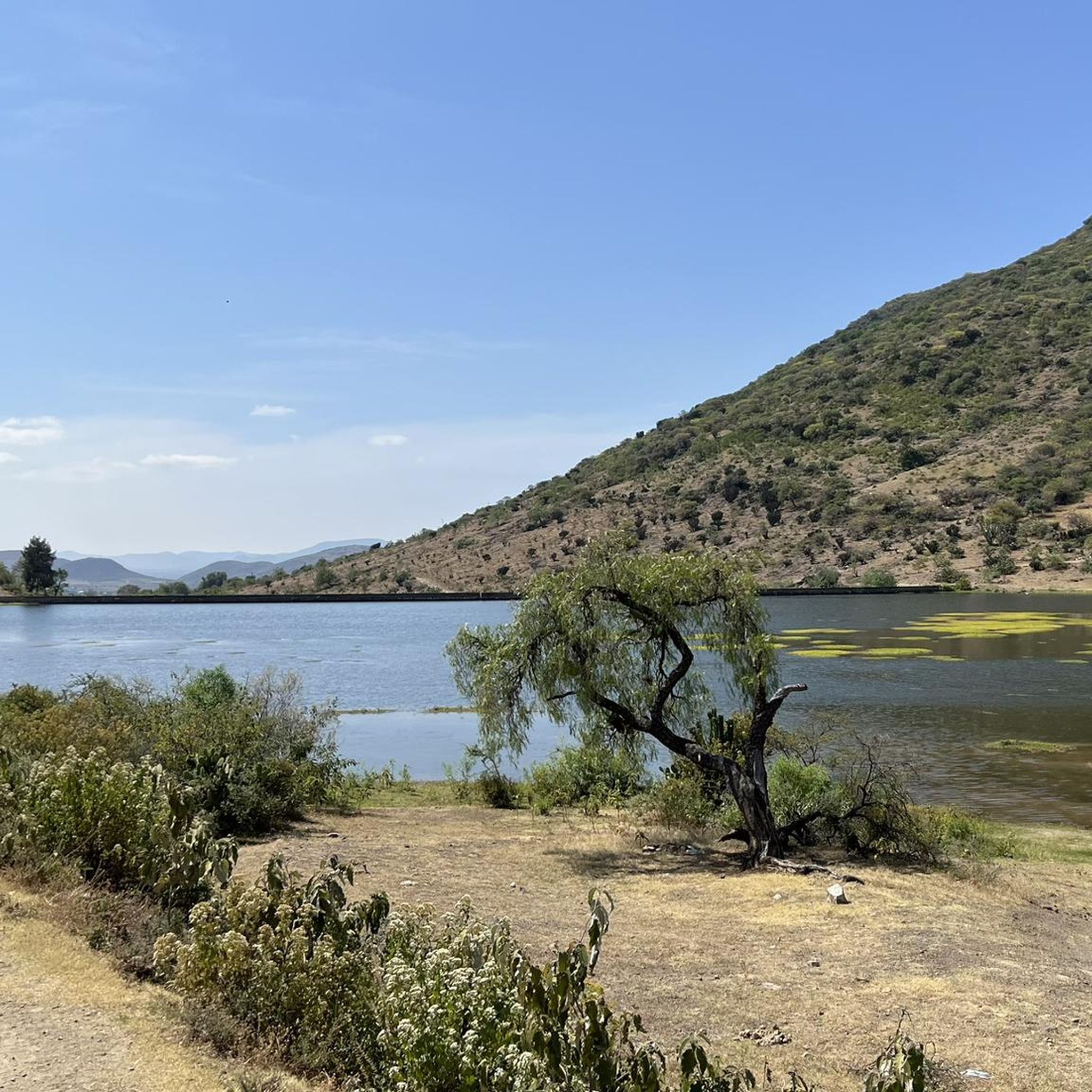
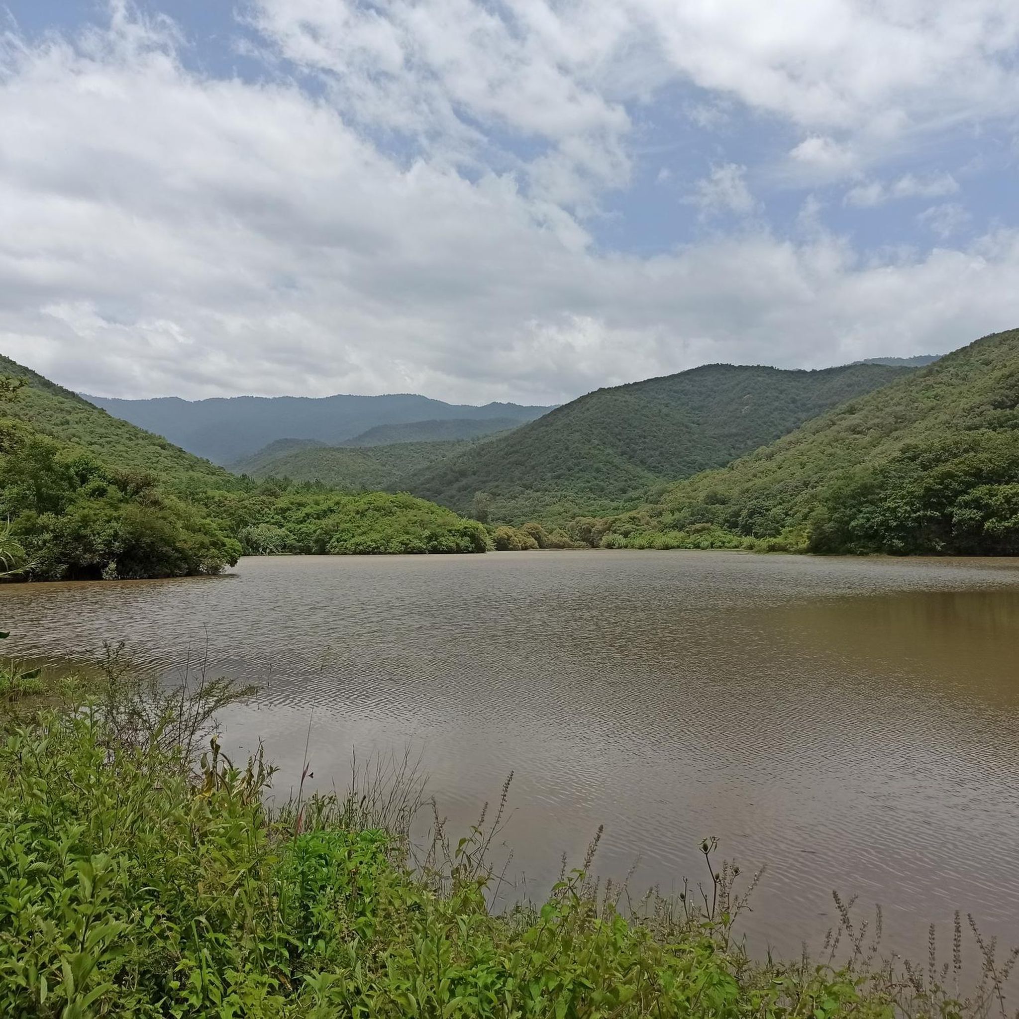
Yes, the region is known for its picturesque natural features. A significant attraction for runners are the two dams upstream from the village, particularly the upper reservoir, which offers stunning scenery with calm waters reflecting the mountains. The routes also pass through authentic rural landscapes and agricultural fields, providing a unique cultural backdrop. While there are no specific 'landmarks' in the traditional sense, the dams and the rural charm are key points of interest.
What is the best time of year to go running in Santo Domingo Tomaltepec?
Santo Domingo Tomaltepec enjoys a mild climate throughout the year, making it suitable for outdoor activities like running in any season. The consistent mild temperatures ensure comfortable conditions for sustained exercise. During the dry season, crossing streams that feed the reservoirs might involve using stepping stones or splashing through shallow water, adding a unique element to your run.
Are there any circular running routes available?
Yes, many of the running paths in Santo Domingo Tomaltepec are designed as loops, offering a continuous and varied experience. For example, the Fuente de las Ocho Regiones – Fuente de exalumnos loop from Oaxaca City is a popular moderate circular route. Another favorite is the Fuente de las Ocho Regiones loop from Colonia Reforma, which provides a longer running experience through varied terrain.
What do other runners enjoy most about the trails in Santo Domingo Tomaltepec?
The running routes in Santo Domingo Tomaltepec are highly rated by the komoot community, with an average score of 5.0 stars. Runners often praise the tranquil environment, the stunning vistas of the dams and mountains, and the unique experience of running through ancient agricultural fields. The blend of natural beauty and rural charm makes for a peaceful and meditative backdrop to their runs.
Are the running routes suitable for families or beginners?
The routes in Santo Domingo Tomaltepec offer options for different ability levels, from moderate to more challenging. While there are no routes specifically categorized as 'easy' in the provided data, the mild climate and varied terrain can be enjoyable for families or beginners looking for a moderate challenge. It's always recommended to check the specific route details for distance and elevation before heading out.
Can I bring my dog on the running trails?
The trails in Santo Domingo Tomaltepec, consisting of dirt roads and footpaths through natural and agricultural areas, are generally welcoming for dogs. However, it's always advisable to keep your dog on a leash, especially when passing through agricultural lands or near livestock, and to be mindful of local regulations and other trail users. Ensure your dog is comfortable with varied terrain and stream crossings.
How long are the typical running routes in this region?
The running routes in Santo Domingo Tomaltepec vary in length, catering to different preferences. You can find routes like the Running loop from San Jerónimo Tlacochahuaya, which is about 4.6 miles (7.3 km), taking around 47 minutes. Longer options include the Running loop from Santa María del Tule, which is approximately 5.8 miles (9.4 km).
Is there public transport or parking available near the running trails?
Santo Domingo Tomaltepec is located approximately 10 km east of Oaxaca City. While specific public transport details to the trailheads are not provided, Oaxaca City is a major hub. For those driving, the dirt roads and rural nature of the area suggest that parking might be available in or near the village, though dedicated parking lots for trail access are not explicitly mentioned. It's best to plan your transport from Oaxaca City.
Are there any cafes or places to get refreshments near the running routes?
Santo Domingo Tomaltepec is a town and municipality with rural charm. While the immediate trailheads might not have dedicated cafes, the village itself or nearby Oaxaca City (just 10 km away) would offer various options for refreshments, food, and accommodation. It's a good idea to bring your own water and snacks for your run, especially on longer routes.
What is the elevation gain like on the running routes?
The running routes in Santo Domingo Tomaltepec feature varying elevation gains as they ascend into mountain valleys. For instance, the Fuente de las Ocho Regiones loop from Colonia Reforma has an elevation gain of about 131 meters. Some routes, like the Fuente Santo Domingo loop from Oaxaca City, can be more challenging with an elevation gain of approximately 239 meters, offering a good workout.
Are there any hidden gems or less-known running paths in the area?
The network of dirt roads and footpaths in Santo Domingo Tomaltepec, particularly those leading to the dams and through agricultural valleys, offers many opportunities for exploration beyond the most popular routes. These paths often involve crossing streams and provide a dynamic and engaging experience, allowing runners to discover secluded spots and enjoy the tranquil environment away from crowds.
Most popular routes in Santo Domingo Tomaltepec

Get inspired with the komoot mobile app


Explore more
Browse the best Running Trails & Routes in other regions.
