The best mountain hikes around Gipskarstlandschaft bei Ührde
5.0
(4)
5
hikers
1
hike
Mountaineering routes around Gipskarstlandschaft bei Ührde traverse a unique gypsum karst landscape southwest of Osterode am Harz. This region is characterized by its distinctive small-scale relief, formed by the solubility of gypsum rock. Key natural features include numerous sinkholes, disappearing streams, and karren fields. The terrain also presents steep walls and fissures, particularly near the Lichtenstein area, offering varied challenges for mountaineers. The landscape is predominantly covered by natural beech forests, including specific gorge forests in humid sinkholes.
Best mountaineering routes around Gipskarstlandschaft bei Ührde
- The most popular mountaineering route is View of the Vorsperre Dam – Viewpoint at the Sösetalsperre loop from Lerbach, a 12.8 miles (20.6 km) trail that takes 6 hours 6 minutes to complete. This difficult route features significant elevation gain, reaching 2,035 feet (620 meters) of ascent.
- Another top favourite among local mountaineers is Eichkampsborn Spring – Stauffenburg Castle Ruins loop from Gittelde, an easy 3.8 miles (6.1 km) path. This route includes a visit to the historic Stauffenburg Castle Ruins and offers 443 feet (135 meters) of elevation gain.
- Local mountaineers also love the Ackerfastweg – Hanskühnenburg (HWN 144) loop from Riefensbeek, a 9.0 miles (14.6 km) trail leading through varied forest terrain, often completed in about 4 hours 24 minutes. This moderate route ascends 1,564 feet (477 meters).
- Mountaineering around Gipskarstlandschaft bei Ührde is defined by its gypsum karst topography, featuring sinkholes, karren fields, and dense beech forests. The network offers options for different ability levels, from easy paths to more demanding routes with significant elevation changes.
- The routes in Gipskarstlandschaft bei Ührde are highly rated by the komoot community with an average score of 5.0 stars from over 3 reviews. More than 5 mountaineers have used komoot to explore Gipskarstlandschaft bei Ührde's varied terrain.
Last updated: October 21, 2026
5.0
(4)
4
hikers
20.6km
06:07
620m
620m
Hard mountaineering route. Very good fitness required. Easily-accessible paths. Suitable for all skill levels.
6.13km
01:44
140m
130m
Easy mountaineering route. Great for any fitness level. Easily-accessible paths. Suitable for all skill levels.

1
hikers
14.6km
04:24
480m
480m
Moderate mountaineering route. Good fitness required. Easily-accessible paths. Suitable for all skill levels.
Our route recommendations are based on thousands of hikes, rides, and runs completed by other people on komoot.
Start today with a free account
Your next adventure awaits.
Popular around Gipskarstlandschaft bei Ührde
Tips from the Community

A beautiful rustic hut with a small bridge.
1
0
A very beautiful spot high in the forest. Access isn't easy due to the many steep hills.
1
0

without trees a wide view
0
0

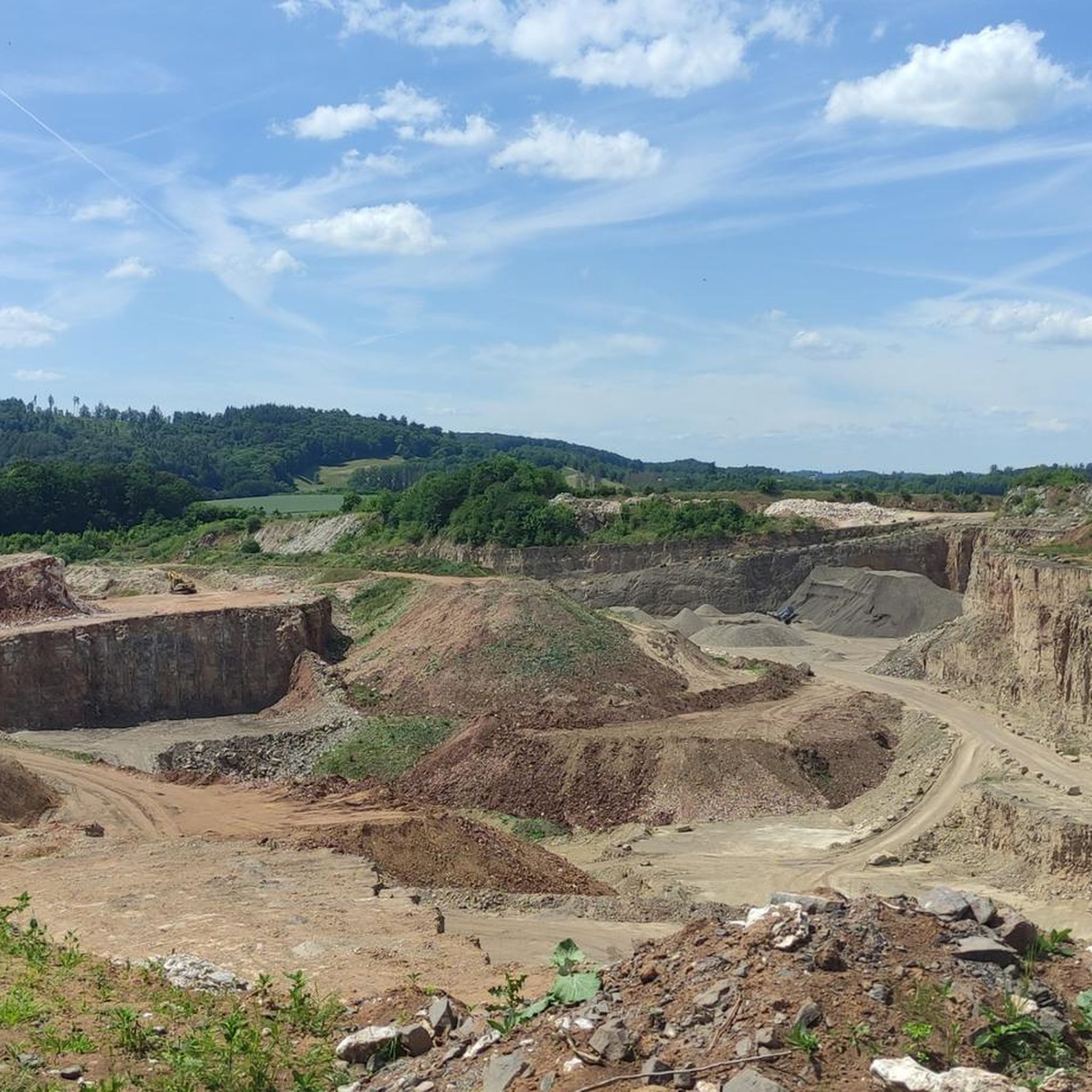
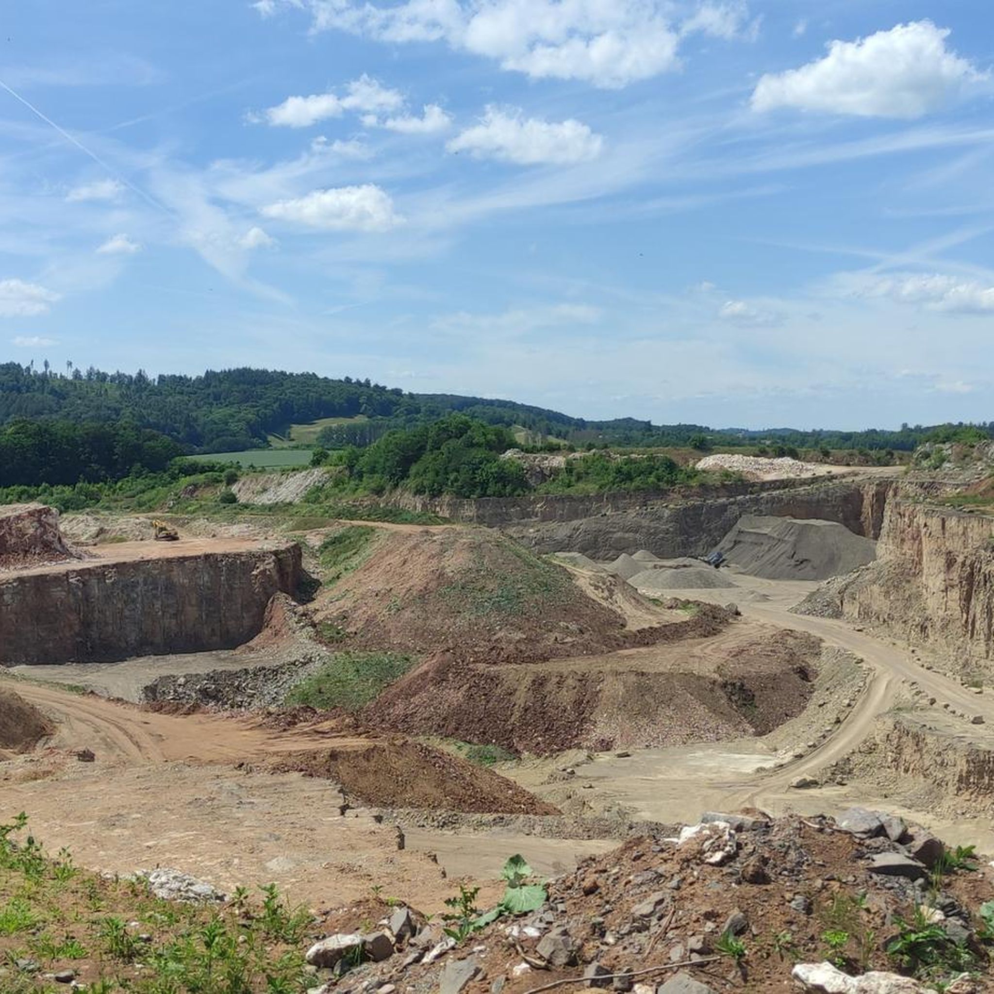
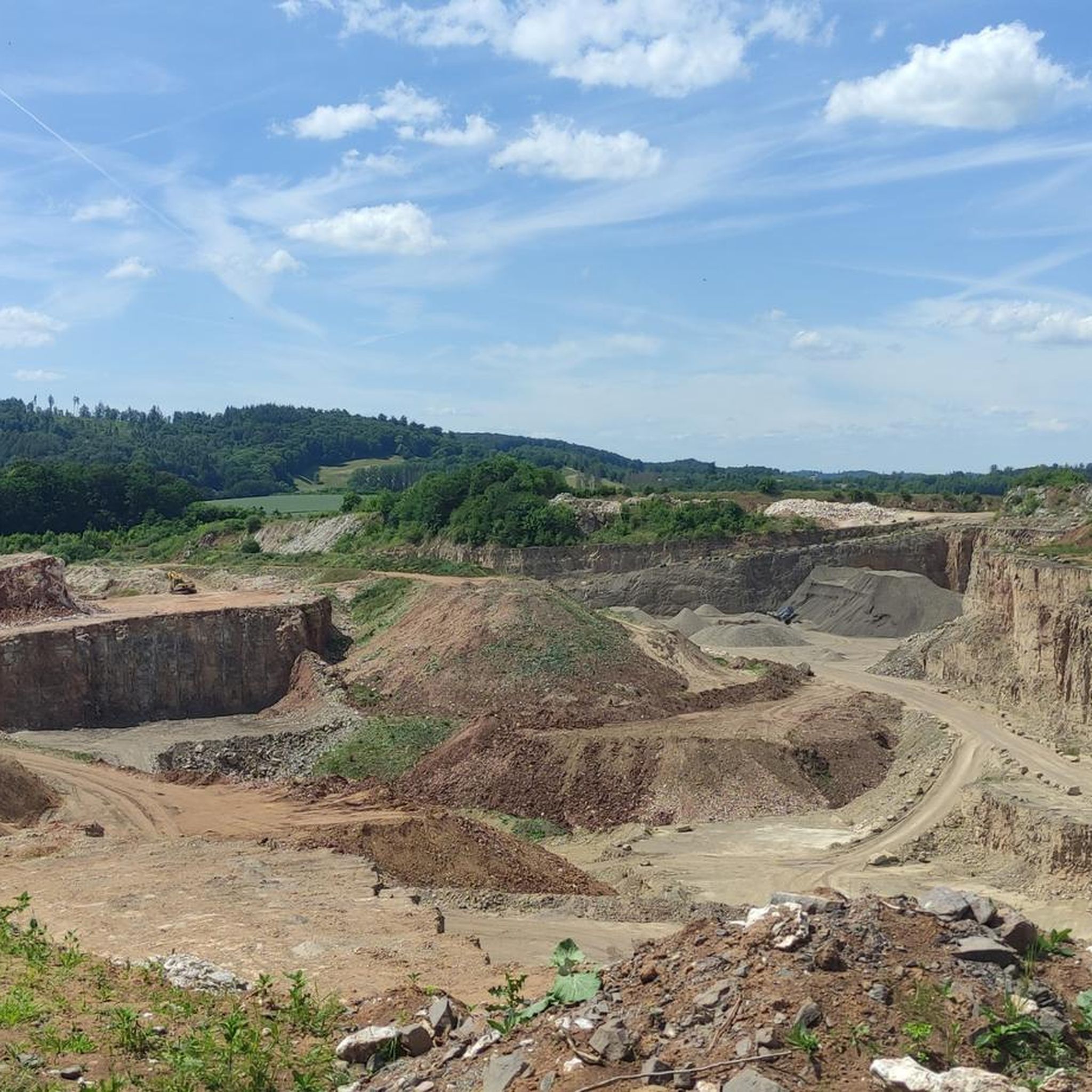
Unfortunately, there are hardly any trees left to be seen there.
0
0

You have a view of the valley and the hiking trails, but it is still a very sad sight 😢
0
0

There is something calming about resting places near water.
3
0
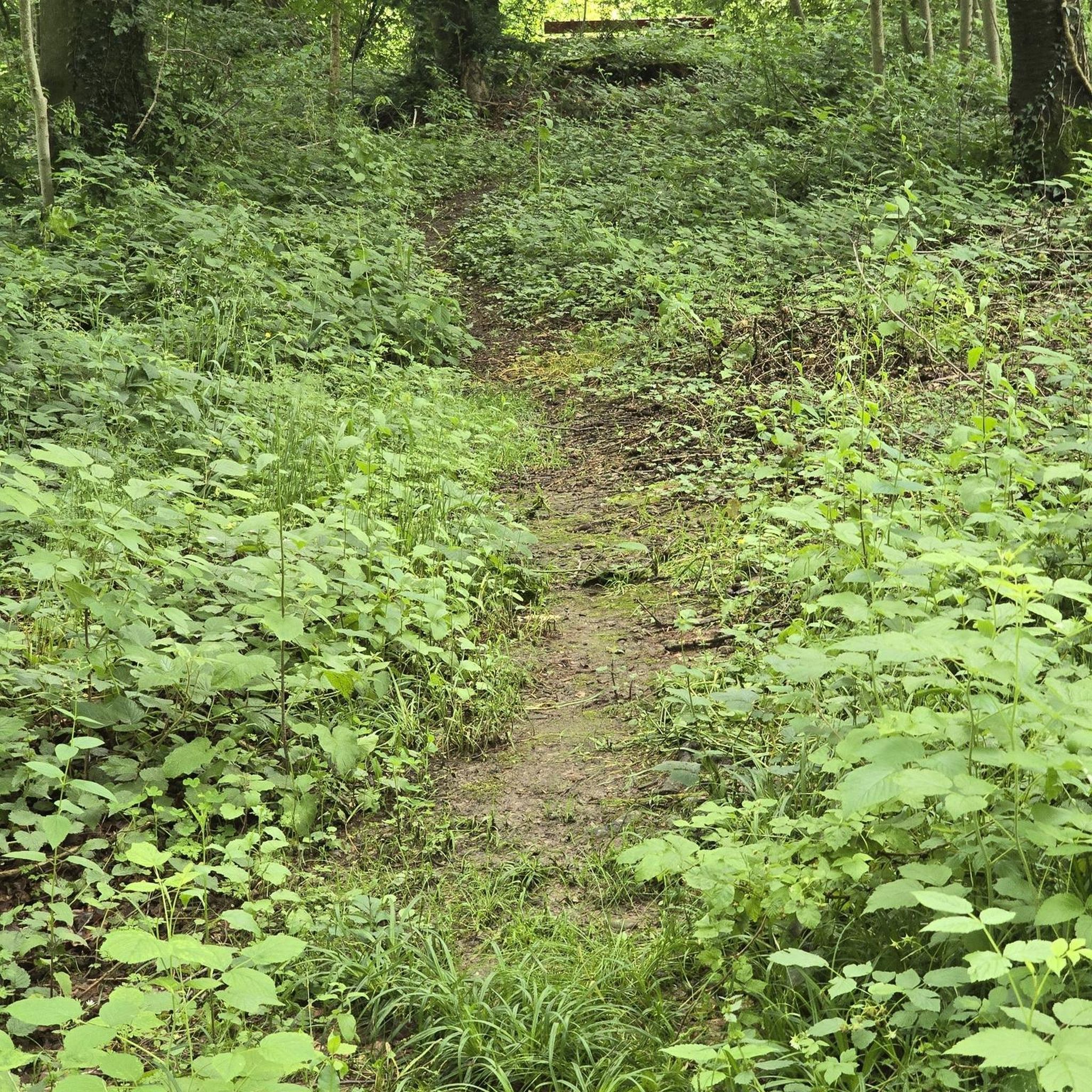
The green is gaining the upper hand again.
2
0

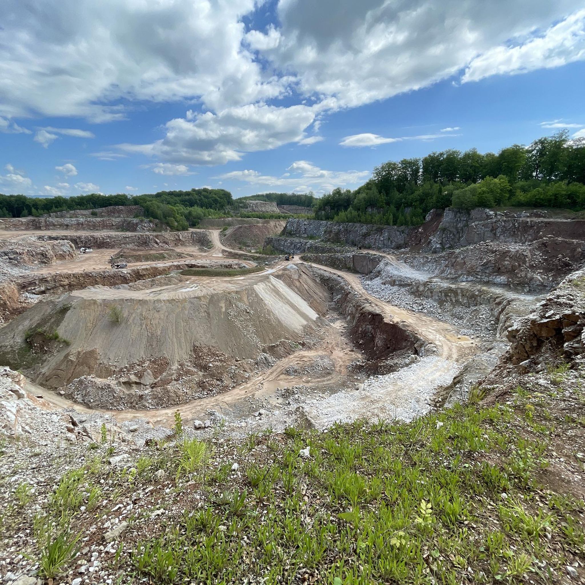
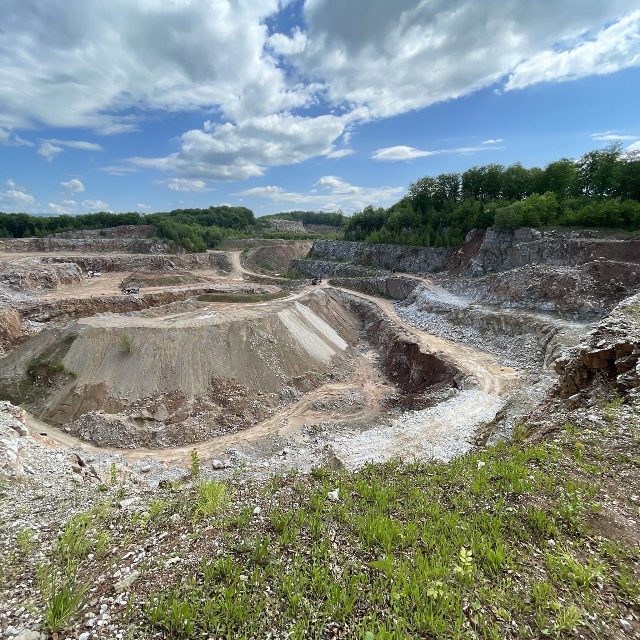
Unfortunately, it has something of an end-time romantic feel to it at the moment...😢
0
0
Frequently Asked Questions
What kind of terrain can I expect on mountaineering routes in Gipskarstlandschaft bei Ührde?
The region is defined by its unique gypsum karst landscape, featuring an "exceptionally moved small relief." You'll encounter numerous funnel-shaped sinkholes, some with humid ravine forests, as well as disappearing streams and karren fields. The terrain also includes varied elevations and natural beech forests, offering a diverse and engaging experience. Some areas, particularly near Lichtenstein, present steeper walls and fissures.
Are there routes suitable for beginners or those seeking an easier mountaineering experience?
Yes, there are options for various ability levels. For an easier experience, consider the Eichkampsborn Spring – Stauffenburg Castle Ruins loop from Gittelde. This 3.8-mile (6.1 km) route is rated easy and includes a visit to the historic Lichtenstein Castle Ruins, with a manageable 443 feet (135 meters) of elevation gain.
How challenging are the more difficult mountaineering routes in the area?
The more demanding routes require good fitness and sure-footedness. For example, the View of the Vorsperre Dam – Viewpoint at the Sösetalsperre loop from Lerbach is a difficult 12.8-mile (20.6 km) trail. It features significant elevation gain, reaching 2,035 feet (620 meters) of ascent, and typically takes over six hours to complete.
What natural features make Gipskarstlandschaft bei Ührde unique for mountaineering?
The region's uniqueness stems from its gypsum karst topography. You'll find distinctive geological formations such as numerous sinkholes, where streams can vanish underground, and karren fields. The landscape also boasts diverse ecosystems, including natural beech forests and humid ravine forests within the sinkholes, creating a rich and varied environment for exploration.
Are there any historical sites or landmarks to see along the mountaineering routes?
Yes, the area combines natural beauty with historical interest. You can explore the Lichtenstein Castle Ruins, an abandoned castle since 1567. Another notable landmark is the Mammoth Stone on the Karst Trail, a monument offering insights into the region's Ice Age finds. Additionally, the Path between sinkholes in the gypsum karst near Ührde allows you to experience unique landscapes and observe traces of medieval agriculture.
What do other mountaineers enjoy the most about mountaineering in Gipskarstlandschaft bei Ührde?
The area is highly rated by the komoot community, with an average score of 5.0 stars. Reviewers often praise the unique gypsum karst topography, the varied challenges offered by the terrain, and the dense beech forests that characterize many of the routes. The mix of geological formations and diverse ecosystems provides a memorable experience.
Are there any circular mountaineering routes available?
Yes, many of the mountaineering routes in Gipskarstlandschaft bei Ührde are designed as loops. Examples include the View of the Vorsperre Dam – Viewpoint at the Sösetalsperre loop from Lerbach, the Eichkampsborn Spring – Stauffenburg Castle Ruins loop from Gittelde, and the Ackerfastweg – Hanskühnenburg (HWN 144) loop from Riefensbeek. These circular paths allow you to start and end at the same point, often near parking or public transport access.
Is the region suitable for mountaineering with dogs?
While the guide does not specify dog-friendly routes, many trails in nature reserves like Gipskarstlandschaft bei Ührde generally permit dogs on a leash. It's advisable to check local signage at trailheads for any specific restrictions or protected areas where dogs might not be allowed, especially due to wildlife or sensitive ecosystems.
What is the best time of year for mountaineering in Gipskarstlandschaft bei Ührde?
The varied ecosystems and geological features make the region appealing throughout the year. Spring and autumn offer pleasant temperatures and vibrant foliage, while summer provides longer daylight hours. Winter mountaineering is possible, but routes may be more challenging due to snow or ice, requiring appropriate gear and experience.
Are there any specific viewpoints along the mountaineering routes?
Yes, the terrain offers several opportunities for scenic views. One notable spot is the View of Osterode from Feldherren Hill. Additionally, routes like the View of the Vorsperre Dam – Viewpoint at the Sösetalsperre loop from Lerbach are specifically named for their scenic vistas.
Are there any regulations or permits required for mountaineering in the Gipskarstlandschaft bei Ührde nature reserve?
Generally, nature reserves in Germany, including Gipskarstlandschaft bei Ührde, do not require permits for hiking or mountaineering on designated trails. However, it is crucial to stay on marked paths, respect wildlife, and adhere to any local regulations regarding litter, open fires, or dog control. Always check local information boards at trailheads for the most current rules.
Most popular routes around Gipskarstlandschaft bei Ührde
Most popular attractions around Gipskarstlandschaft bei Ührde

Get inspired with the komoot mobile app


Explore more
Browse the best Mountain Hikes & Routes in other regions.
