The best mountain hikes around Bach an der Donau
4.0
(2)
10
hikers
2
hikes
Mountaineering around Bach an der Donau offers routes through varied terrain, characterized by river valleys, dense woodlands, and gentle hills. The region features paths that traverse natural landscapes, including the scenic Höllbachtal. Elevations are generally moderate, providing accessible options for different skill levels. These routes often follow established trails through forested areas and open sections.
Best mountaineering routes around Bach an der Donau
- The most popular mountaineering route is Höllbachtal Trail – Höllbach Wooden Bridge loop from Rettenbach, a…
Last updated: July 2, 2026
5.0
(1)
2
hikers
4.22km
01:11
70m
70m
Moderate mountaineering route. Great for any fitness level. Mostly accessible paths. Sure-footedness required.
3.0
(1)
2
hikers
6.91km
02:04
210m
210m
Moderate mountaineering route. Good fitness required. Easily-accessible paths. Suitable for all skill levels.

Sign up for free
2
hikers
3.65km
01:05
110m
110m
Easy mountaineering route. Great for any fitness level. Easily-accessible paths. Suitable for all skill levels.
Our route recommendations are based on thousands of hikes, rides, and runs completed by other people on komoot.
Start today with a free account
Your next adventure awaits.
Login or Signup
Popular around Bach an der Donau
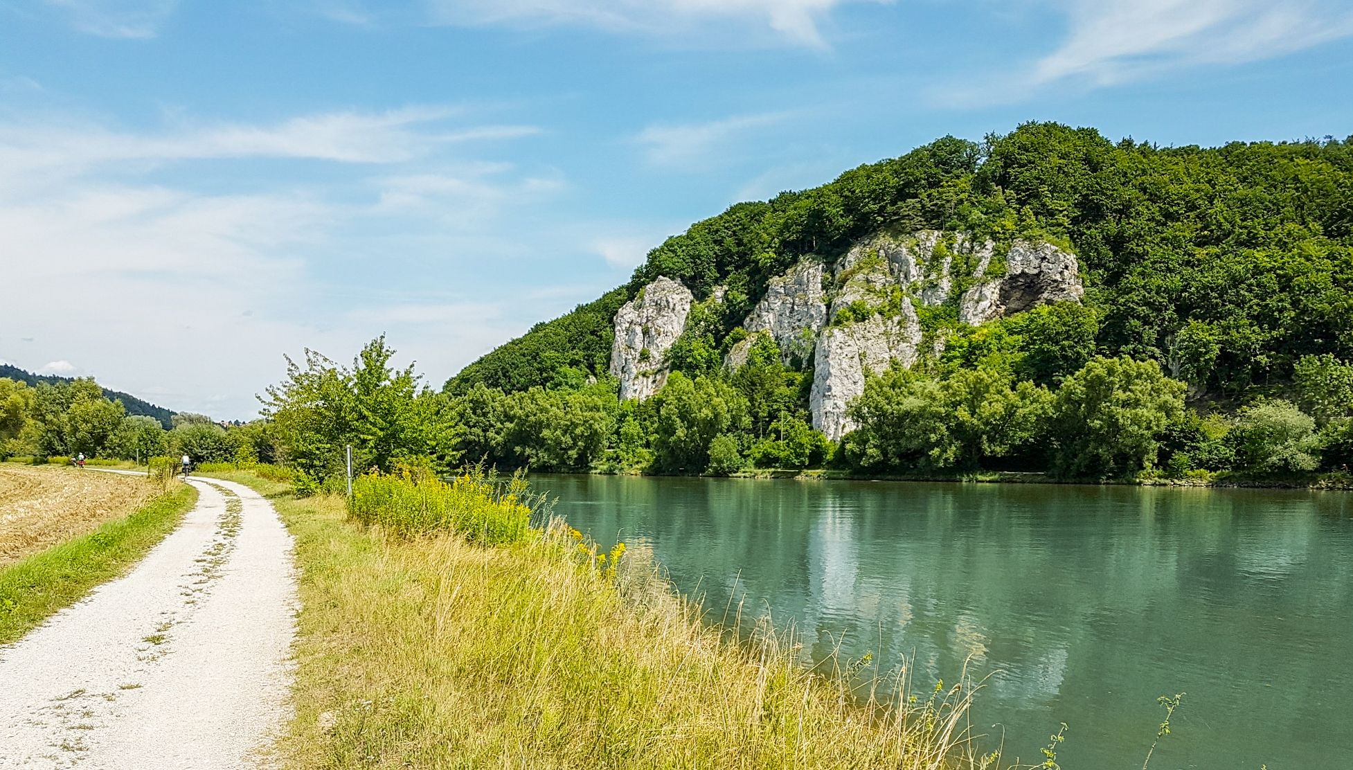
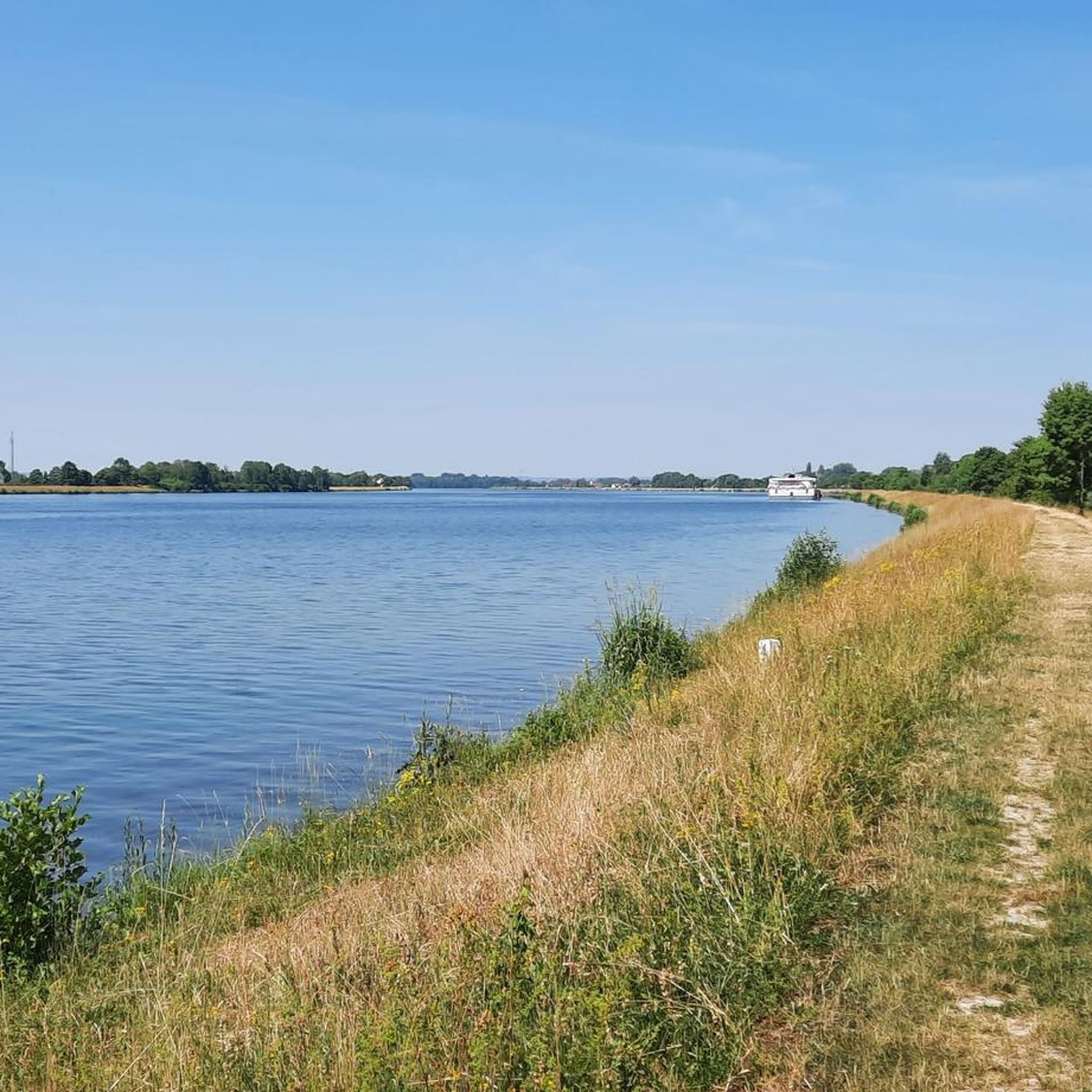
Other adventures around Bach an der Donau

Tips from the Community

Hidden behind bushes & hedges... a real lost place!
3
0

There are two parking lots. One is a little higher up.
0
0

it's a dream here
0
1

A magnificent view of the Danube Valley and all the way to Regensburg. The geotrail also features an overview map and information panels with many explanations about the flora and fauna.
4
0
A magnificent view of the Danube Valley and all the way to Regensburg. There's also an overview map and information panels with many explanations about the flora and fauna along the Geotrail.
4
0

Perfect starting points for countless hikes
0
0
Beautiful surroundings, quiet location and great rock formations
1
1

Great trail that is not far away from Regensburg. The last time I drove a few months ago there were 2-3 fallen trees on the route. So be careful, but you should always drive with foresight if you don't know the trail or haven't ridden it for a while :) 2-3 places are demanding and require you to have your bike under control.
3
0
Frequently Asked Questions
How many mountaineering routes are available around Bach an der Donau?
The region around Bach an der Donau offers a selection of well-regarded mountaineering routes, with at least three distinct trails highlighted for their unique characteristics and scenic beauty.
Are there easy mountaineering routes suitable for beginners in Bach an der Donau?
Yes, there are accessible options for those new to mountaineering. For instance, the Flowing trail – Dynamite Trail at Keilstein loop from Tegernheim is rated as easy, offering a pleasant experience through varied terrain.
What kind of terrain can I expect on mountaineering routes near Bach an der Donau?
Mountaineering routes in this area are characterized by varied terrain, including river valleys, dense woodlands, and gentle hills. You'll find paths traversing natural landscapes, such as the scenic Höllbachtal, with generally moderate elevations.
Are there any circular mountaineering loops in the Bach an der Donau area?
Yes, several routes are designed as loops, allowing you to start and end at the same point. Examples include the Höllbachtal Trail – Höllbach Wooden Bridge loop from Rettenbach and the Fellinger Berg – Marien Chapel in the dense forest loop from Tegernheim.
What are some interesting natural landmarks or attractions to see along the routes?
The region is rich in natural beauty. Along the trails, you might encounter highlights such as the Höllbachtal Trail itself, the Höllbach Valley (Hölle) Nature Reserve, and the distinctive Hölltal Rock Formations. The Höllbachtal Trail also features a unique wooden bridge.
Are there any routes that pass by cultural or historical points of interest?
Yes, some routes combine natural beauty with cultural sights. The Fellinger Berg – Marien Chapel in the dense forest loop from Tegernheim, for example, leads through dense forest to the historic Marien Chapel, offering a blend of natural and cultural exploration.
What do other mountaineers say about the routes in Bach an der Donau?
The mountaineering routes around Bach an der Donau are highly regarded by the komoot community, holding an average rating of 4.0 stars from more than 2 reviews. Users often appreciate the varied terrain and the well-maintained paths through forests and river valleys.
Are there any routes that are particularly suitable for a 4-6 hour hike?
While many routes are shorter, you can combine sections or explore longer variations. The Fellinger Berg – Marien Chapel in the dense forest loop from Tegernheim, at 6.9 km, takes approximately 2 hours 3 minutes, which could be extended with exploration of the chapel or surrounding areas to fit a longer outing.
Is there parking available at the trailheads for mountaineering routes?
While specific parking details for each trailhead are best checked on the individual route pages, routes often start from villages like Rettenbach or Tegernheim, where public parking options are typically available for visitors.
Can I reach mountaineering routes in Bach an der Donau using public transport?
Bach an der Donau and its surrounding villages are generally accessible by local public transport, though connections to specific trailheads may vary. It's advisable to check local bus schedules for routes originating from towns like Rettenbach or Tegernheim to plan your journey.
Are the mountaineering routes around Bach an der Donau suitable for families?
Many routes in the area, particularly those rated as easy or moderate, are suitable for families. The varied terrain and moderate elevations provide an enjoyable experience for different age groups. The Flowing trail – Dynamite Trail at Keilstein loop from Tegernheim is an easy option that families might enjoy.
Are dogs allowed on the mountaineering trails in Bach an der Donau?
Generally, dogs are welcome on public trails in the Bach an der Donau region. However, it's always recommended to keep them on a leash, especially in nature reserves like the Höllbach Valley, and to respect local regulations regarding wildlife and other hikers.
Most popular routes around Bach an der Donau
Most popular attractions around Bach an der Donau

Get inspired with the komoot mobile app


Explore more
Browse the best Mountain Hikes & Routes in other regions.
