The best mountain hikes around Brennberg
5.0
(1)
11
hikers
4
hikes
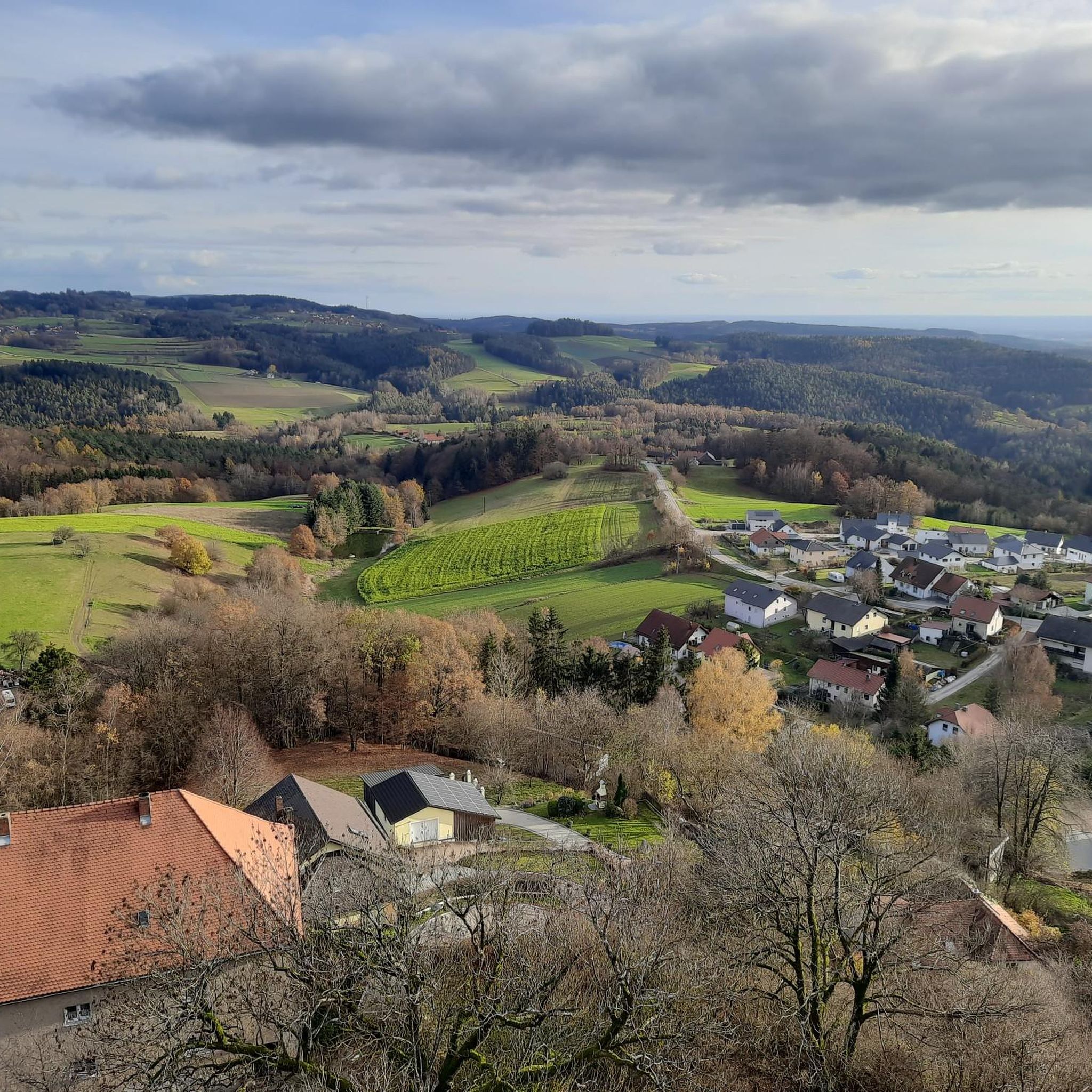
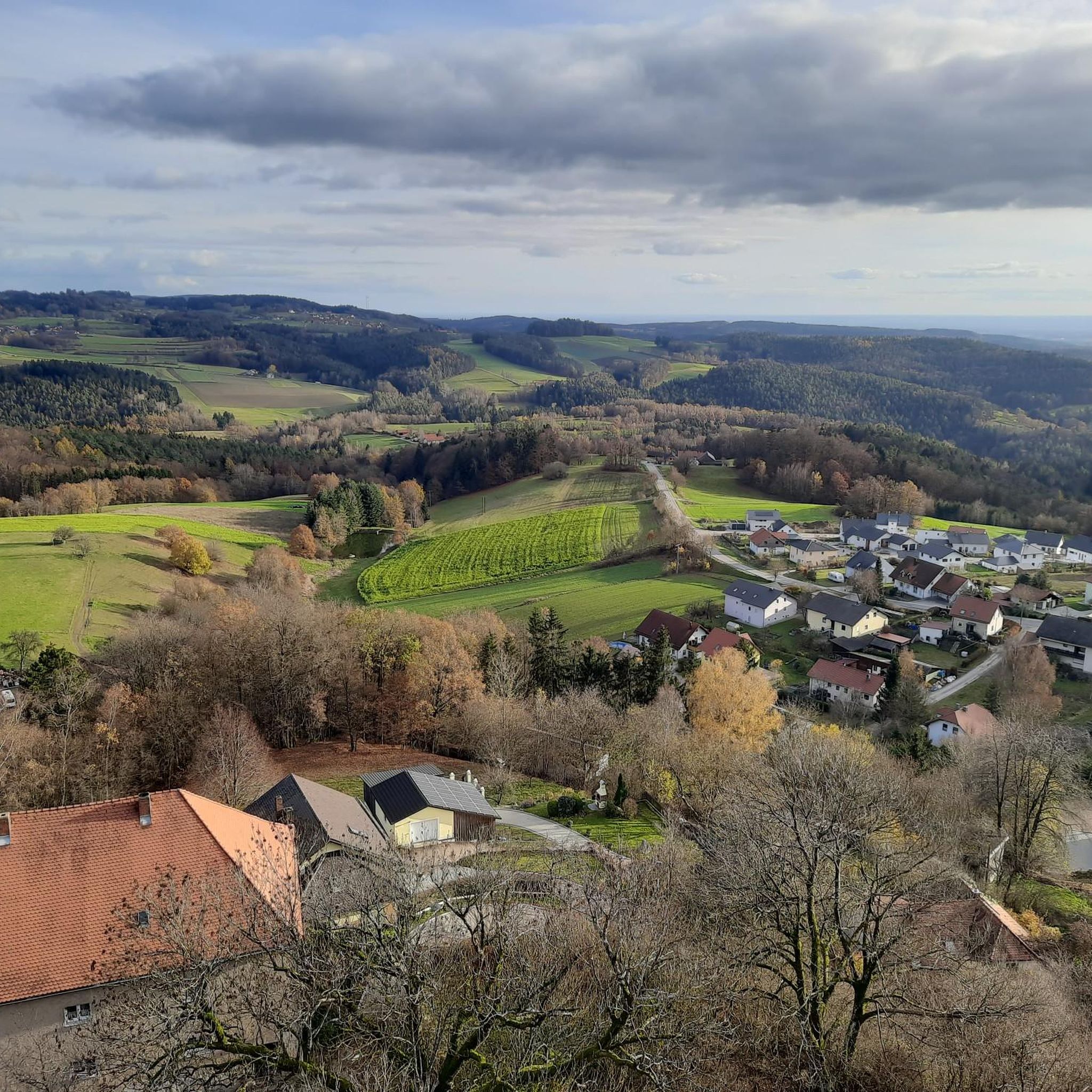
Mountaineering around Brennberg offers routes through the scenic foothills of the Bavarian Forest, characterized by rolling hills and dense woodlands. The region features a landscape of 24% hills and 76% low mountains, with elevations ranging from 489 meters to 639 meters on some trails. Notable natural features include the Höllbach Valley Nature Reserve, where the Höllbach river carves through a rocky forest gorge with granite and gneiss formations. The terrain provides diverse experiences, from accessible paths to those requiring sure-footedness…
Last updated: October 4, 2026
5.0
(1)
3
hikers
4.22km
01:11
70m
70m
Moderate mountaineering route. Great for any fitness level. Mostly accessible paths. Sure-footedness required.
3
hikers
10.0km
02:50
200m
200m
Moderate mountaineering route. Good fitness required. Mostly accessible paths. Sure-footedness required.

2
hikers
14.1km
04:12
370m
370m
Moderate mountaineering route. Good fitness required. Mostly accessible paths. Sure-footedness required.
Our route recommendations are based on thousands of hikes, rides, and runs completed by other people on komoot.
Start today with a free account
Your next adventure awaits.

Other adventures around Brennberg

Tips from the Community

Don't forget one euro for the turnstile, otherwise you won't get up the tower!
0
0

Worth visiting on the Day of the Open Monument - you can also do an interior tour of the knight's hall and chapel.
0
0

A rustic wooden bridge, which slightly changes direction in the middle with a kink, leads here over the Höllbach stream. On days when the wooden planks are particularly slippery, the railing attached to one side provides a little more security.
9
0
Not only the granite block sea and the roaring stream of the Höllbach shape the nature reserve. Some open meadow areas also belong to it.
14
0
The Hölle nature reserve encompasses an approximately 600-meter-long section of the Höllbachtal valley in the Falkensteiner Vorwald with the surrounding forest areas. The block sea of bizarrely weathered granite blocks along the Höllbach, as this section of the Wiesent's upper course is called, is an approximately 7000 square meter sub-area of the nature reserve established in 1950. It is part of the European "Natura 2000" protected area network. In the shady, cool and moist climate even in summer, numerous animal and plant species worthy of protection have been preserved.
9
0
Here begins the fantastic circular hiking trail through the "Hölle" nature reserve, which leads for long stretches along the Höllbach through the valley.
10
0
Parking is free at the large hiking parking lot near Postfelden. An overview board provides information about the hiking trails in the region.
8
0

There are two parking lots. One is a little higher up.
2
0
Frequently Asked Questions
What kind of terrain can I expect on mountaineering routes around Brennberg?
The Brennberg region, nestled in the foothills of the Bavarian Forest, features a diverse landscape of rolling hills and dense woodlands. You'll encounter trails with elevations ranging from 489 to 639 meters, with 24% hills and 76% low mountains. Some routes, particularly in the Höllbach Valley, involve rocky forest gorges with granite and gneiss formations, requiring sure-footedness over roots and stones.
Are there any circular mountaineering routes in Brennberg?
Yes, several routes around Brennberg are designed as loops. For example, the Höllbachtal Trail – Höllbach Wooden Bridge loop from Rettenbach is a popular circular option that takes you through the wild and romantic Höllbach Valley.
What are some notable natural features or landmarks I can see along the trails?
The region is rich in natural beauty and historical sites. You can explore the wild Höllbach Valley Nature Reserve with its river carving through a rocky gorge. Historical landmarks like Brennberg Castle Ruins are often integrated into routes, offering panoramic views. Other natural monuments include wobbly rocks, bowl stones, and the mysterious menhir on the Kirnberg. You might also encounter the Großer Pfaffenstein — Summit and Boulder Formation or the Lauberberg.
Are there any routes that connect to the Goldsteig long-distance trail?
Yes, some routes in the Brennberg area offer connections to sections of the Goldsteig, a well-known long-distance hiking trail. The Hetzenbacher Höhe loop from Wald (VGem), for instance, features sections that link up with the Goldsteig.
What is the best time of year for mountaineering in Brennberg?
The Brennberg region is particularly stunning in autumn when the leaves transform into vibrant colors, offering a picturesque backdrop for your mountaineering adventures. However, the trails are generally accessible and enjoyable throughout the warmer months.
What do other mountaineers say about the routes in Brennberg?
The mountaineering routes around Brennberg are highly rated by the komoot community, with an average score of 5.0 stars. Users often praise the varied terrain, the scenic beauty of the Bavarian Forest foothills, and the well-maintained paths that cater to different ability levels.
Are there any historical sites or castles to visit near the mountaineering trails?
Absolutely! Brennberg Castle Ruins, a 12th-century landmark, is often part of hiking routes and provides historical interest along with great views. Other nearby castles include Sengersberg Castle Ruins and Kürn Castle, offering glimpses into the region's past.
How long do the mountaineering routes typically take to complete?
The duration varies depending on the route and your pace. For example, the Höllbachtal Trail – Höllbach Wooden Bridge loop from Rettenbach can be completed in about 1 hour 15 minutes, while the longer Lauberberg – Blick Marienstein loop from Falkenstein typically takes around 4 hours 5 minutes.
Are there any shelters or huts along the mountaineering routes in Brennberg?
Yes, there are several shelters and huts in the vicinity that can be useful during your mountaineering trips. You might come across places like Aschenbrennermarter, Forsthaus Steinbuckl, or the Blasbach Shelter Conservation Area.
What is the general difficulty level of mountaineering routes in Brennberg?
The mountaineering routes around Brennberg are generally considered moderate. They offer varied terrain suitable for different fitness levels, from accessible paths to those requiring sure-footedness over roots and stones, all within a low mountain range context.
Can I find viewpoints with panoramic vistas along the trails?
Yes, many routes offer excellent viewpoints. Brennberg Castle Ruins, for instance, provides panoramic views that can extend to the Danube Valley and even the Alps on clear days. The Lauberberg – Blick Marienstein loop from Falkenstein also features scenic overlooks.
Most popular routes around Brennberg
Most popular attractions around Brennberg

Get inspired with the komoot mobile app


Explore more
Browse the best Mountain Hikes & Routes in other regions.
