Nonnenbachtal Und Seitentäler Mit Froschberg Und Gillenberg
Nonnenbachtal Und Seitentäler Mit Froschberg Und Gillenberg
The best mountain hikes in Nonnenbachtal Und Seitentäler Mit Froschberg Und Gillenberg
2
hikers
3
hikes
Mountaineering routes in Nonnenbachtal Und Seitentäler Mit Froschberg Und Gillenberg traverse a designated nature reserve characterized by the Nonnenbach stream and its tributary valleys. The region features elevated sections like Froschberg and Gillenberg, offering varied terrain within a hilly landscape. These routes are primarily robust hiking paths, providing opportunities to explore ecological habitats and scenic views. The area is part of the Eifelsteig, including historical paths like the Blankenheimer Brotpfad.
Best mountaineering routes in Nonnenbachtal Und Seitentäler Mit Froschberg Und…
Last updated: July 14, 2026
1
hikers
Moderate mountaineering route. Good fitness required. Easily-accessible paths. Suitable for all skill levels.
1
hikers
5.38km
01:30
110m
110m
Easy mountaineering route. Great for any fitness level. Easily-accessible paths. Suitable for all skill levels.

Sign up for free
15.9km
04:17
210m
210m
Moderate mountaineering route. Good fitness required. Easily-accessible paths. Suitable for all skill levels.
Our route recommendations are based on thousands of hikes, rides, and runs completed by other people on komoot.
Start today with a free account
Your next adventure awaits.
Login or Signup
Popular around Nonnenbachtal Und Seitentäler Mit Froschberg Und Gillenberg
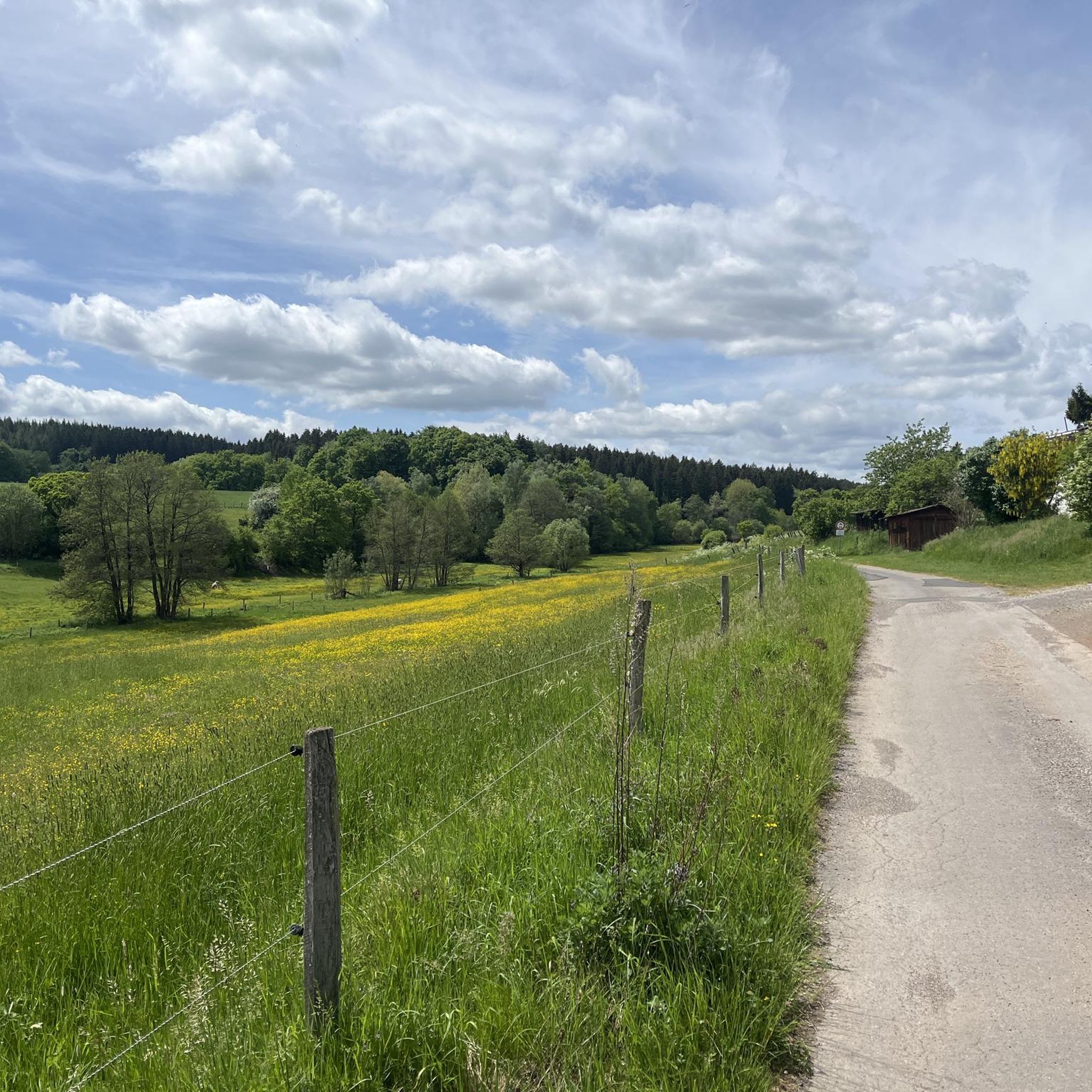
Cycling in Nonnenbachtal Und Seitentäler Mit Froschberg Und Gillenberg
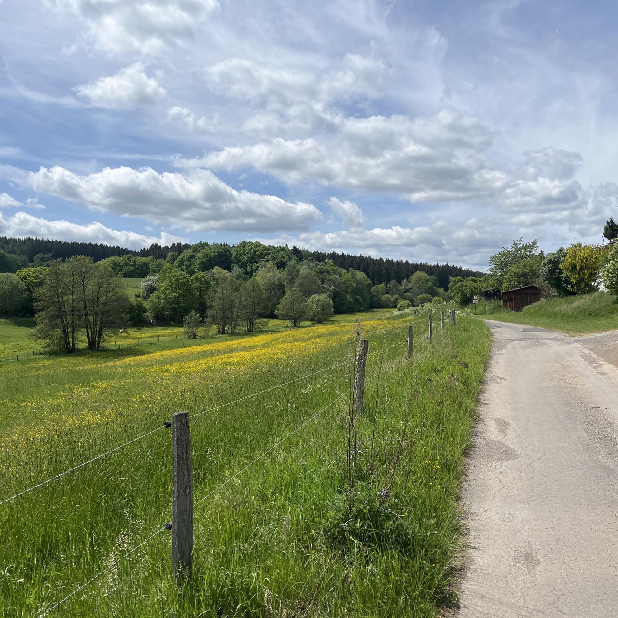
Hiking in Nonnenbachtal Und Seitentäler Mit Froschberg Und Gillenberg
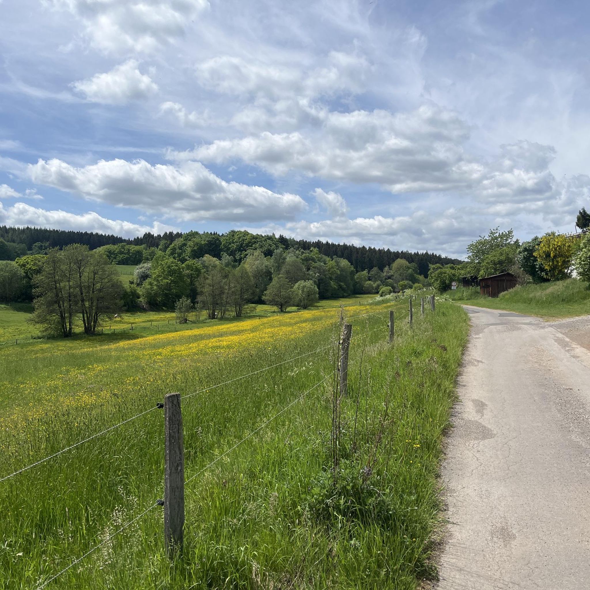
Road Cycling Routes in Nonnenbachtal Und Seitentäler Mit Froschberg Und Gillenberg
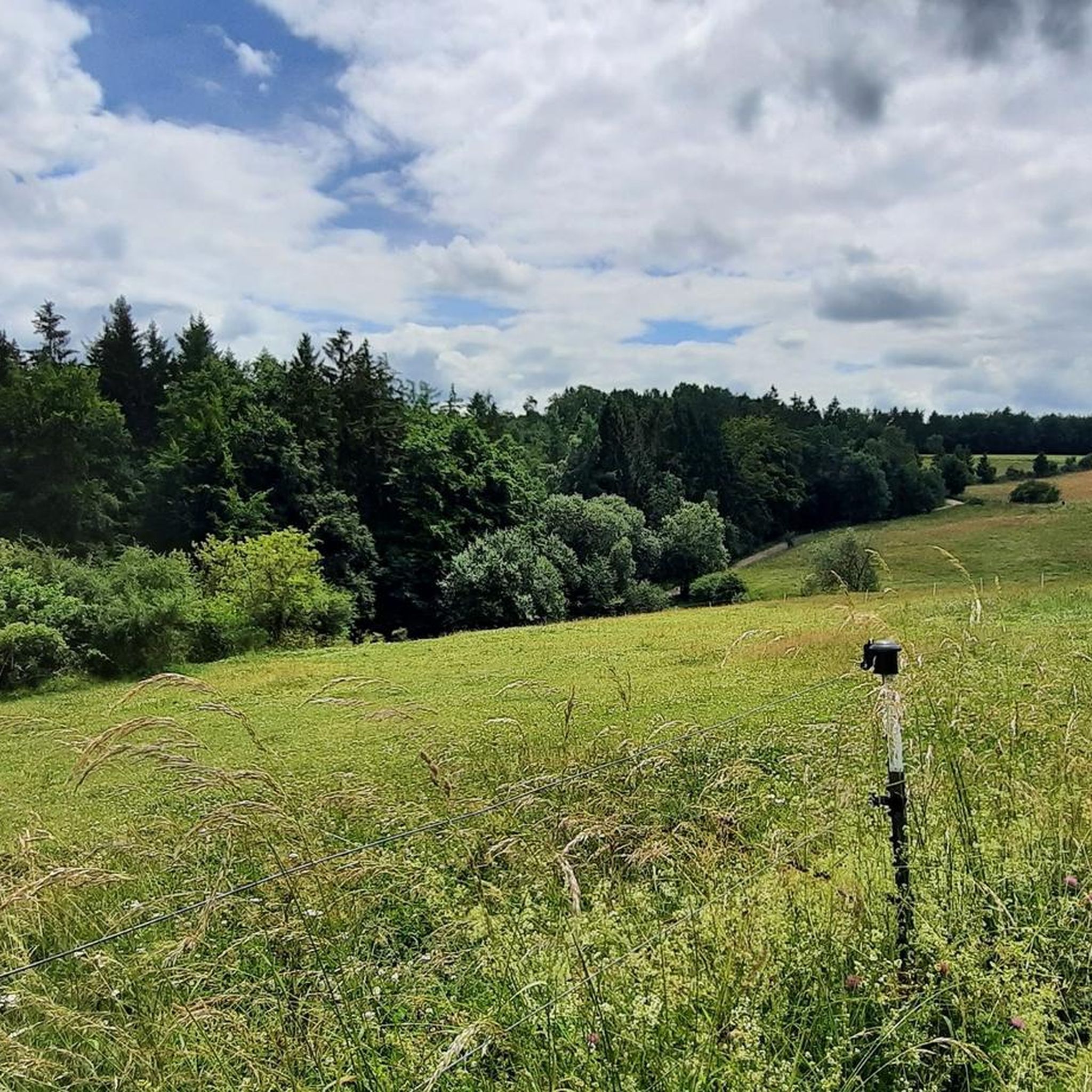
MTB Trails in Nonnenbachtal Und Seitentäler Mit Froschberg Und Gillenberg
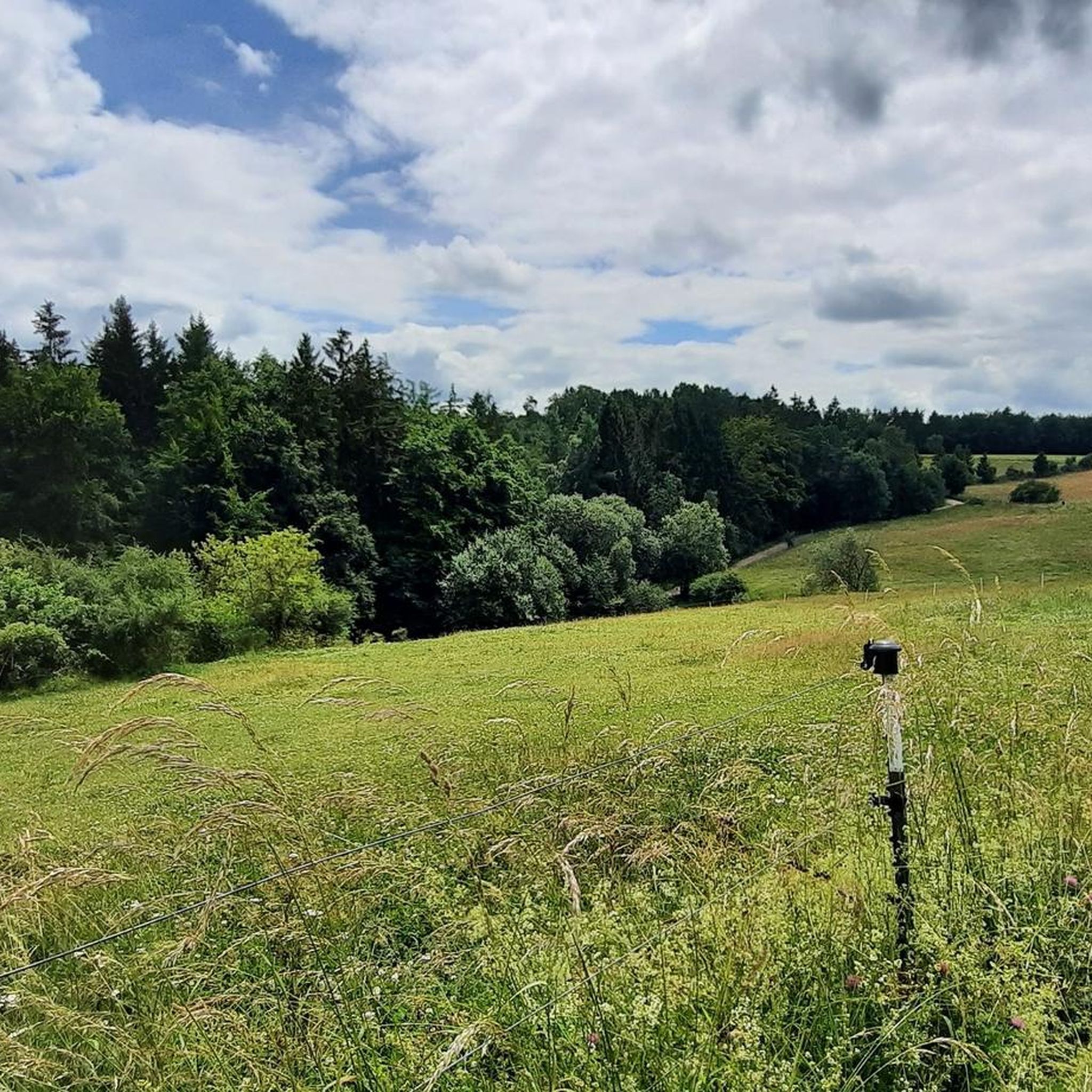
Running Trails in Nonnenbachtal Und Seitentäler Mit Froschberg Und Gillenberg
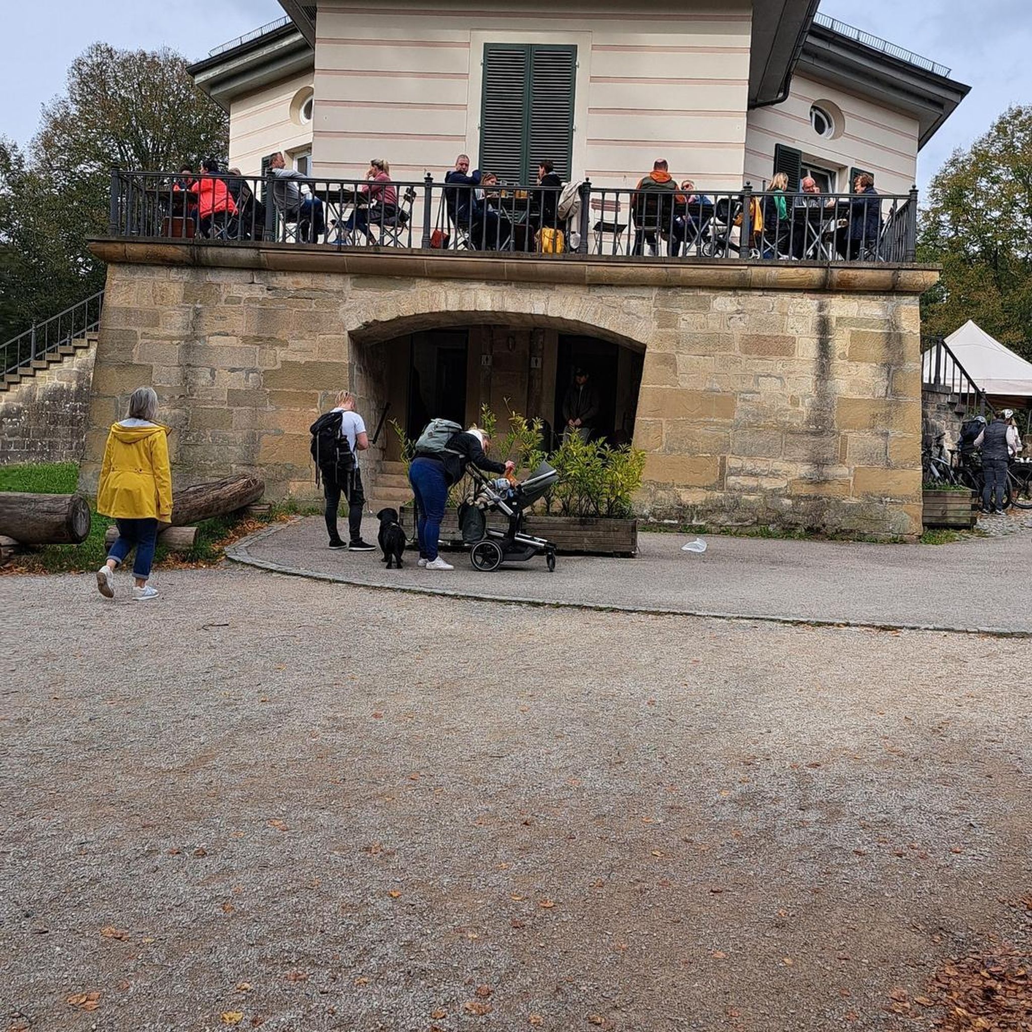
Gravel biking in Nonnenbachtal Und Seitentäler Mit Froschberg Und Gillenberg
Tips from the Community

“Uhlensieten” probably means 🦉 owl seat, because the chair 🪑 looks like that
0
0

Opposite the rest area with photo booth is the beautiful meadow....
0
0

Pure nature, like the numerous valleys we have roamed through on our hikes
0
0

Parking is located directly on the Moorpfad
0
0

There's a small parking lot that's free to use. However, it's very crowded during the day on weekends.
0
0
On some nice days the parking lot 🅿️ is almost too small (about 10 vehicles 🚗), but there is enough room on the side of the road for twice as many cars.
1
0

Part of the Eifelsteig, stage 7 https://youtu.be/jHUprXl805k
0
0
Photo frame XXXL for entire hiking groups🤗
1
0
Frequently Asked Questions
What is the general difficulty level of mountaineering routes in Nonnenbachtal Und Seitentäler Mit Froschberg Und Gillenberg?
The routes in this nature reserve are primarily robust hiking paths, ranging from easy to moderate difficulty. You'll find options suitable for various fitness levels, allowing you to explore the diverse ecological habitats and scenic views without requiring technical climbing skills.
Are there any family-friendly mountaineering routes in the Nonnenbachtal region?
Yes, there are routes suitable for families. For an easier excursion, consider the Dahlem Moor Boardwalk – Heiden-Kopf II loop from Dahlem (Eifel). This easy 3.3-mile (5.4 km) path offers a shorter, less strenuous option, perfect for enjoying nature with children.
Can I bring my dog on the mountaineering trails in Nonnenbachtal Und Seitentäler Mit Froschberg Und Gillenberg?
As a designated nature reserve, specific rules regarding dogs may apply. Generally, dogs are permitted on trails but should be kept on a leash to protect wildlife and maintain the ecological balance. Always check local signage for any specific restrictions within certain areas of the reserve.
What kind of natural features and landmarks can I expect to see along the routes?
The region is rich in natural beauty. You can explore the picturesque Nonnenbach stream and its tributary valleys, as well as elevated sections like Froschberg and Gillenberg. Notable landmarks include the Bridge Over the Nonnenbach, the historic Süntel Beech on the Burial Mound, and the St. Michael and Brigida Chapel (Nonnenbach). You might also encounter calcareous grasslands and orchid meadows, especially in the Seidenbachtal Nature Reserve.
Are there circular routes available for mountaineering in Nonnenbachtal Und Seitentäler Mit Froschberg Und Gillenberg?
Yes, many of the routes are designed as loops, allowing you to start and end at the same point. An example is the Schafbachtal Shelter – Schafbachtal loop from NSG Schaafbachtal mit Seitentälern und Stromberg, a moderate 7.9-mile (12.7 km) trail that explores the diverse natural features of the Schafbachtal.
What is the best time of year to go mountaineering in this region?
The Nonnenbachtal Und Seitentäler Mit Froschberg Und Gillenberg nature reserve is beautiful year-round. Spring offers vibrant flora, especially the orchid meadows, while autumn provides stunning foliage. Summer is ideal for longer days, and even winter can be picturesque for robust hiking, though conditions may vary. Always check weather forecasts before your trip.
How many mountaineering routes are available in Nonnenbachtal Und Seitentäler Mit Froschberg Und Gillenberg?
There are several well-documented mountaineering routes in the Nonnenbachtal Und Seitentäler Mit Froschberg Und Gillenberg region. This guide highlights three distinct options, but the broader network within the nature reserve offers additional paths for exploration.
Are there any longer, more challenging routes for experienced hikers?
While the routes are generally easy to moderate, some offer a longer distance and varied terrain. The Jesus Cross at the Fork loop from Obere Urft is a moderate 9.9-mile (15.9 km) trail, providing a more extended excursion through the landscape, typically taking over four hours to complete.
Is public transport available to reach the mountaineering trails?
Information on specific public transport access points for the trails is not detailed. However, the region is located within the municipality of Blankenheim (Ahr), which typically has public transport connections. It's advisable to research local bus routes or train services to Blankenheim and then plan your onward journey to the trailheads.
Where can I find parking near the trailheads in Nonnenbachtal Und Seitentäler Mit Froschberg Und Gillenberg?
Specific parking information for individual trailheads is not provided in detail. However, as a popular hiking destination, you can generally expect designated parking areas near common starting points or within nearby villages like Blankenheim. Look for signs indicating 'Wanderparkplatz' (hiking parking) upon arrival.
Are there any viewpoints along the trails offering panoramic views?
Yes, the elevated sections like Froschberg and Gillenberg within the nature reserve are likely to offer scenic vistas. Additionally, the O Täler Weit, O Höhen Bench is a designated viewpoint where you can pause and enjoy the expansive landscape of the valleys and hills.
Are there any cafes or accommodation options near the mountaineering routes?
The Nonnenbachtal Und Seitentäler Mit Froschberg Und Gillenberg nature reserve is close to the municipality of Blankenheim (Ahr). In Blankenheim and surrounding villages, you will find various options for cafes, restaurants, and accommodation, ranging from guesthouses to hotels, suitable for hikers looking to refuel or stay overnight.
Most popular routes in Nonnenbachtal Und Seitentäler Mit Froschberg Und Gillenberg
Most popular attractions in Nonnenbachtal Und Seitentäler Mit Froschberg Und Gillenberg

Get inspired with the komoot mobile app


Explore more
Browse the best Mountain Hikes & Routes in other regions.
