The best mountain hikes in Schlott
4.8
(4)
17
hikers
3
hikes
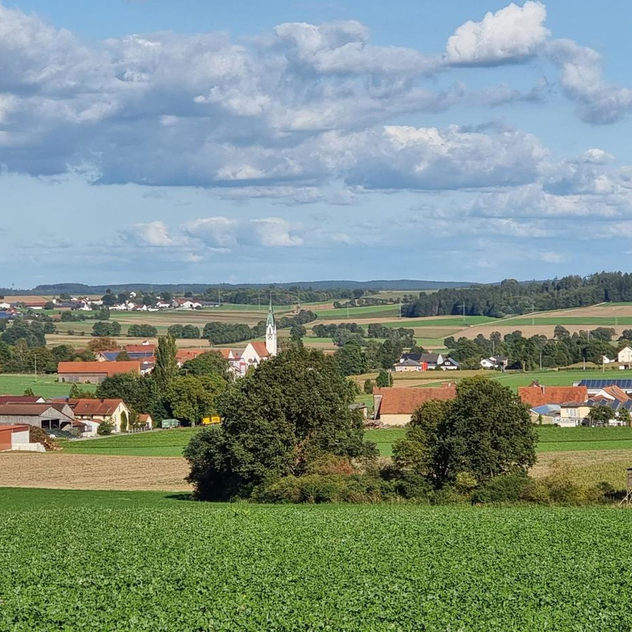
Mountaineering routes in Schlott are situated within a landscape characterized by the Danube River and its surrounding hills, offering varied terrain for outdoor exploration. The region features moderate elevations and a mix of forested areas and open river views. Geological features include the influence of the Danube valley, providing a diverse environment for mountaineering activities. This area is known for its natural beauty and accessible trails.
Best mountaineering routes in Schlott
- The most popular mountaineering route is View of Weltenburg…
Last updated: June 26, 2026
4.7
(3)
9
hikers
13.6km
03:48
250m
250m
Moderate mountaineering route. Good fitness required. Easily-accessible paths. Suitable for all skill levels.
5.0
(1)
5
hikers
9.71km
02:45
210m
210m
Moderate mountaineering route. Good fitness required. Easily-accessible paths. Suitable for all skill levels.

Sign up for free
2
hikers
13.4km
03:39
190m
190m
Moderate mountaineering route. Good fitness required. Easily-accessible paths. Suitable for all skill levels.
1
hikers
6.75km
02:05
210m
210m
Moderate mountaineering route. Good fitness required. Mostly accessible paths. Sure-footedness required.
Our route recommendations are based on thousands of hikes, rides, and runs completed by other people on komoot.
Start today with a free account
Your next adventure awaits.
Login or Signup
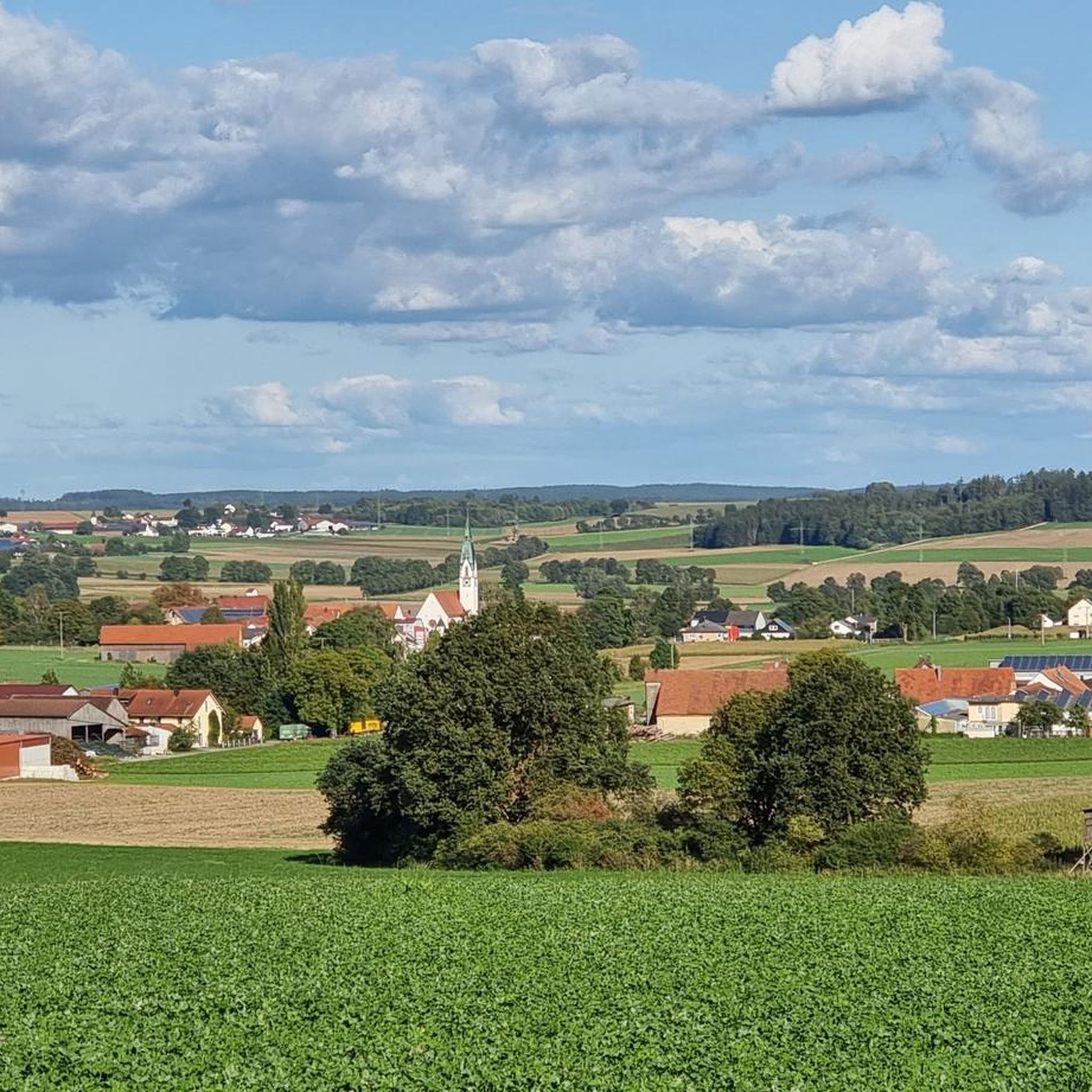
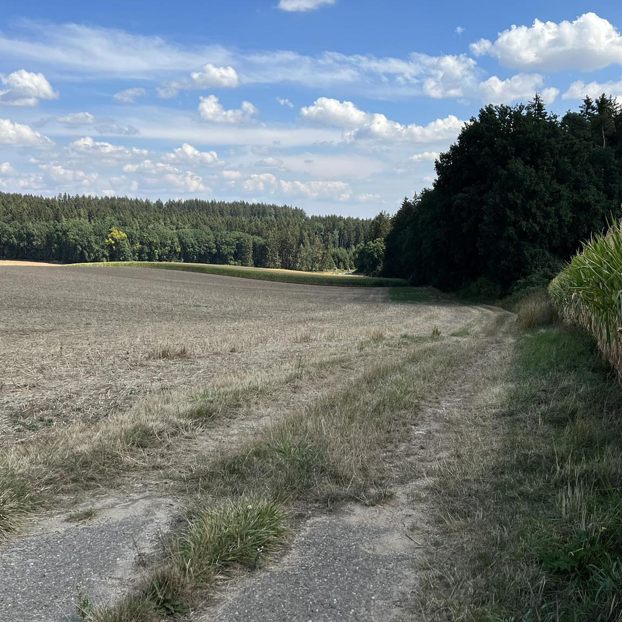
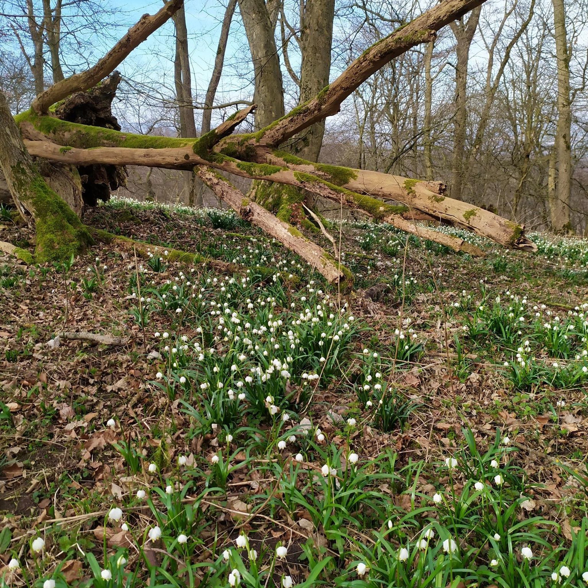
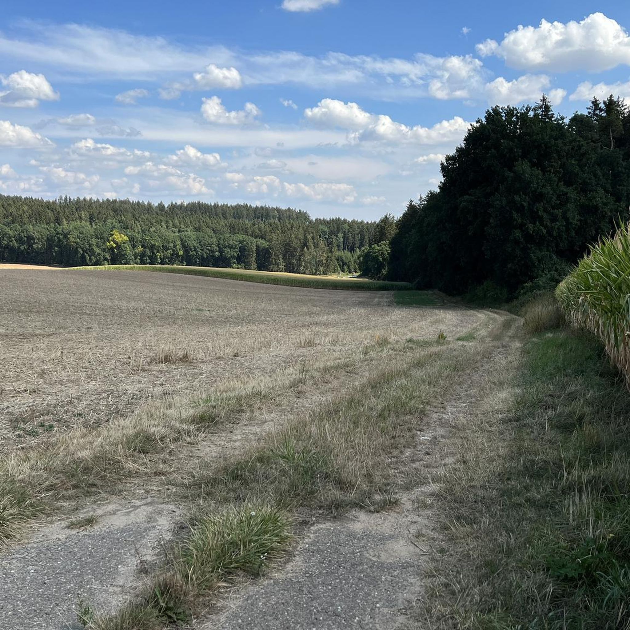
Tips from the Community

At the pier you can also do the Kelheim round
0
0

Fantastic vantage point with a view of the Randeck ruins and the Altmühl valley
0
0

Great view from above
0
0

View from the hiking trail to Randeck Castle
0
0

Interesting
3
0
Very nice
3
0

From up here you have a wonderful view of the riverbed of the Danube. The rock formations and river gorges formed by nature are a spectacular sight, a very beautiful natural phenomenon.
8
0

The ferry dock in Kehlheim. From here you can travel to the Weltenburg monastery.
1
0
Frequently Asked Questions
How many mountaineering routes are available in Schlott?
There are currently 3 dedicated mountaineering routes listed in this guide for the Schlott region, all offering a moderate challenge. These routes provide diverse experiences around the Danube River and its surrounding hills.
What is the typical difficulty level for mountaineering routes in Schlott?
All mountaineering routes featured in this guide for Schlott are rated as moderate. They are suitable for those with a reasonable level of fitness and some experience in hiking or mountaineering, offering a balanced challenge without extreme technical demands.
Are there any circular mountaineering routes in Schlott?
Yes, several routes in Schlott are designed as loops, allowing you to start and end in the same location. For example, the View of Weltenburg Abbey – Hall of Liberation, Kelheim loop from Kelheim and the Mountaineering loop from Kelheim are both excellent circular options.
What kind of natural features and landmarks can I expect to see on these routes?
The Schlott region, situated along the Danube River, offers a mix of natural beauty and historical landmarks. You can expect to see forested hills, open river views, and geological features influenced by the Danube valley. Notable landmarks include the historic Weltenburg Abbey and the Hall of Liberation, both visible on routes like the View of Weltenburg Abbey – Hall of Liberation, Kelheim loop from Kelheim. The Danube Promenade, Kelheim – Old Town Hall, Kelheim loop from Kelheim also takes you past the Old Town Hall in Kelheim.
What is the average duration for mountaineering routes in Schlott?
The duration for mountaineering routes in Schlott varies depending on the specific trail and your pace. Generally, routes range from approximately 2 hours 45 minutes to 3 hours 48 minutes. For instance, the Mountaineering loop from Kelheim takes about 2 hours 45 minutes, while the View of Weltenburg Abbey – Hall of Liberation, Kelheim loop from Kelheim is closer to 3 hours 48 minutes.
Are there any shorter mountaineering options for a quicker outing?
If you're looking for a slightly shorter mountaineering experience, the Mountaineering loop from Kelheim is a good choice. It covers about 9.7 km and typically takes around 2 hours 45 minutes to complete, offering a comprehensive experience of the local terrain in a more condensed timeframe.
What do other mountaineers say about the routes in Schlott?
The mountaineering routes in Schlott are highly regarded by the komoot community, holding an impressive average rating of 4.8 stars from more than 4 reviews. Mountaineers often praise the diverse terrain, the scenic views of the Danube, and the well-maintained paths that lead to historical landmarks.
Can I find routes that combine river views with forested sections?
Absolutely. The Schlott region is defined by its proximity to the Danube River and its surrounding forested hills. Many routes, such as the Danube Promenade, Kelheim – Old Town Hall, Kelheim loop from Kelheim, offer a beautiful blend of riverside paths and trails winding through wooded areas, providing varied scenery throughout your journey.
Are there any routes that explore the area around Kelheim?
Yes, Kelheim serves as a central point for several mountaineering routes in Schlott. The View of Weltenburg Abbey – Hall of Liberation, Kelheim loop from Kelheim, the Mountaineering loop from Kelheim, and the Danube Promenade, Kelheim – Old Town Hall, Kelheim loop from Kelheim all start and end in Kelheim, offering different perspectives of the town and its picturesque surroundings.
What is the elevation gain like on mountaineering routes in Schlott?
The mountaineering routes in Schlott feature moderate elevation gains, typically ranging from about 190 meters to 250 meters (approximately 620 to 820 feet) of ascent and descent. This provides a good workout without being overly strenuous, fitting the 'moderate' difficulty rating of the trails.
Most popular routes in Schlott

Get inspired with the komoot mobile app


Explore more
Browse the best Mountain Hikes & Routes in other regions.
