The best mountain hikes around Kupfersiefer Tal
5
hikers
3
hikes
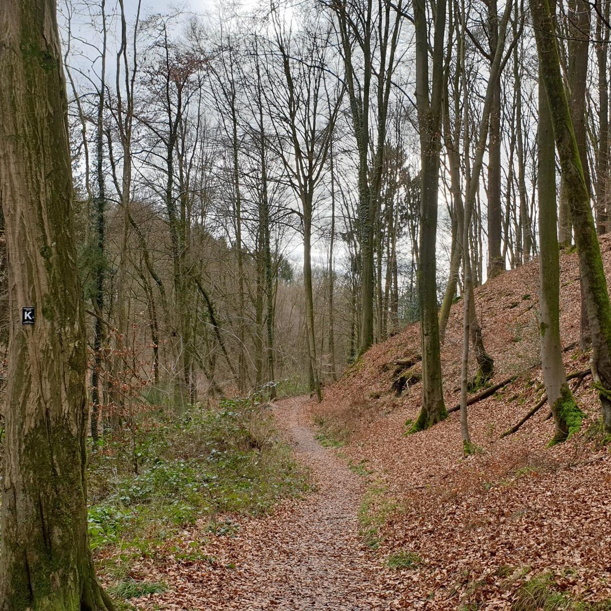
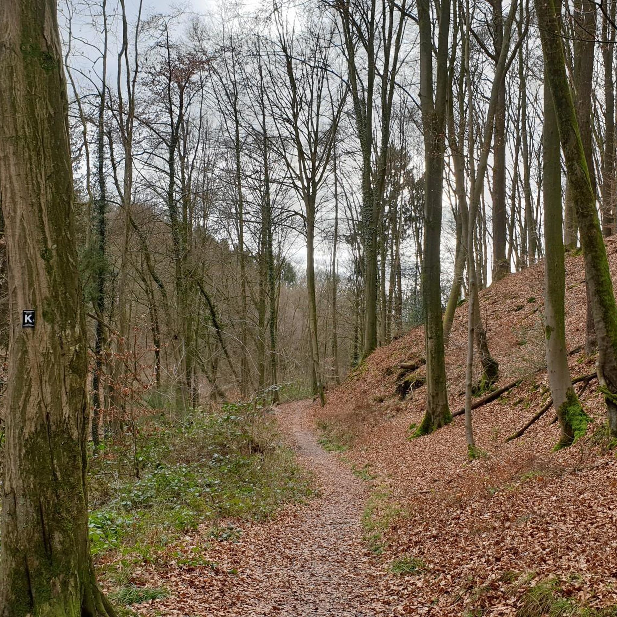
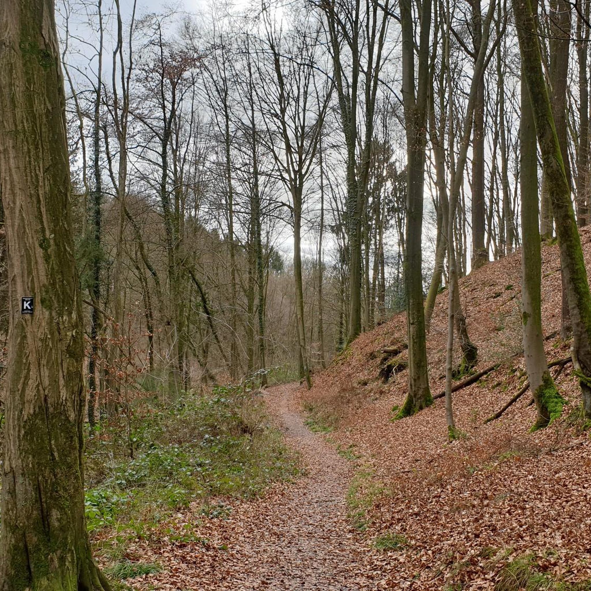
Mountaineering around Kupfersiefer Tal is characterized by its largely undisturbed natural stream valley, the Kupfersiefer Bachtal Nature Reserve. The region features nutrient-poor beech mixed forests on its slopes and varied green spaces, including lean grasslands and stream meadows. These routes often involve elevation gains and require good fitness and sure-footedness, offering a range of experiences from moderate to more challenging paths.
Best mountaineering routes around Kupfersiefer Tal
- The most popular mountaineering route is Kupfersiefer Tal – Schloss Eulenbroich loop from…
Last updated: July 8, 2026
1
hikers
9.97km
02:40
120m
120m
Moderate mountaineering route. Good fitness required. Easily-accessible paths. Suitable for all skill levels.
3
hikers
7.13km
01:57
110m
110m
Easy mountaineering route. Great for any fitness level. Easily-accessible paths. Suitable for all skill levels.

Sign up for free
1
hikers
Moderate mountaineering route. Good fitness required. Easily-accessible paths. Suitable for all skill levels.
Our route recommendations are based on thousands of hikes, rides, and runs completed by other people on komoot.
Start today with a free account
Your next adventure awaits.
Login or Signup
Tips from the Community

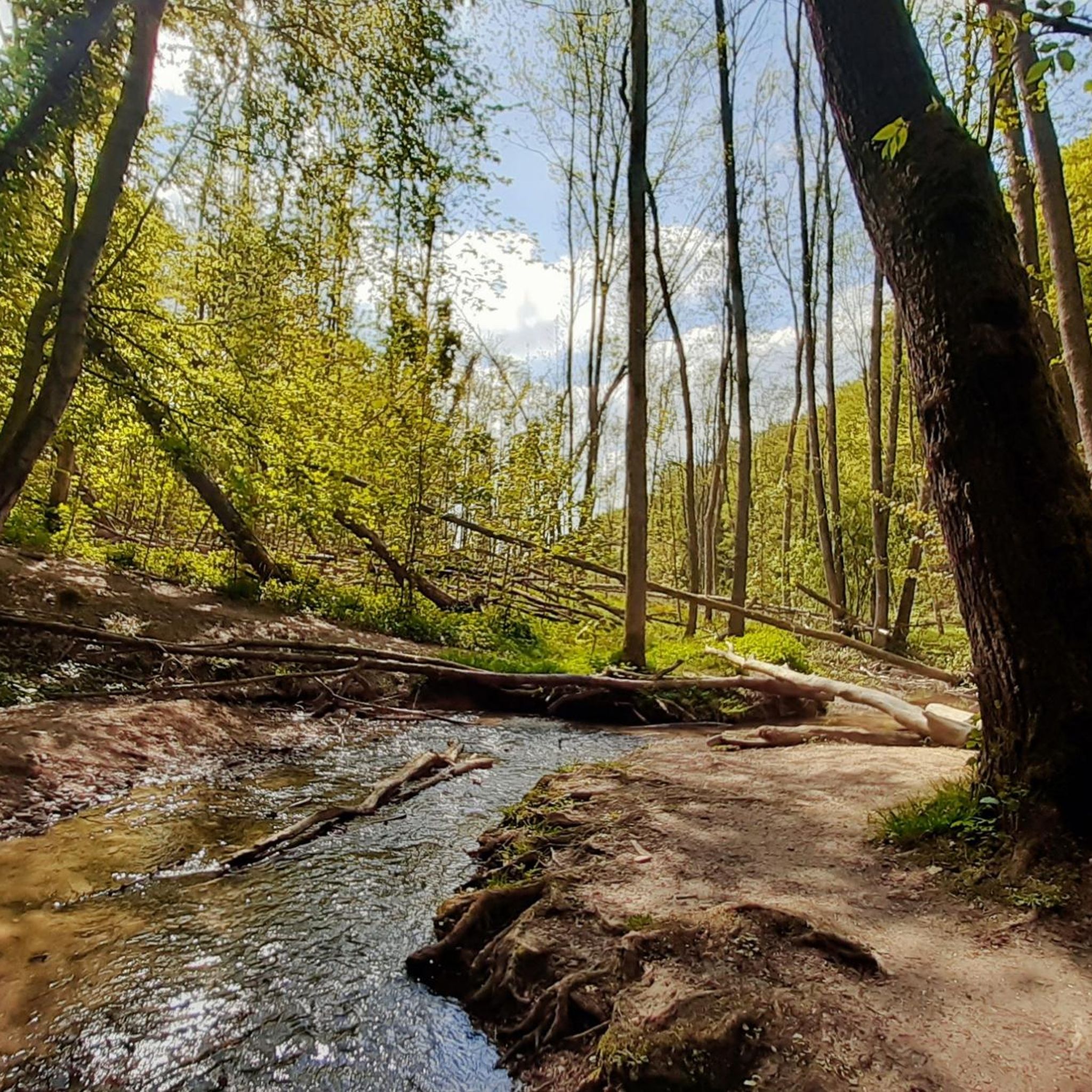
The Sülz River flows powerfully through Hoffnungsthal. This tributary of the Agger, approximately 25 kilometers long, significantly shapes not only the townscape but also the surrounding landscape. Densely vegetated banks and open green spaces line the river. During heavy rainfall, the Sülz often swells rapidly, flooding the areas it surrounds.
1
0
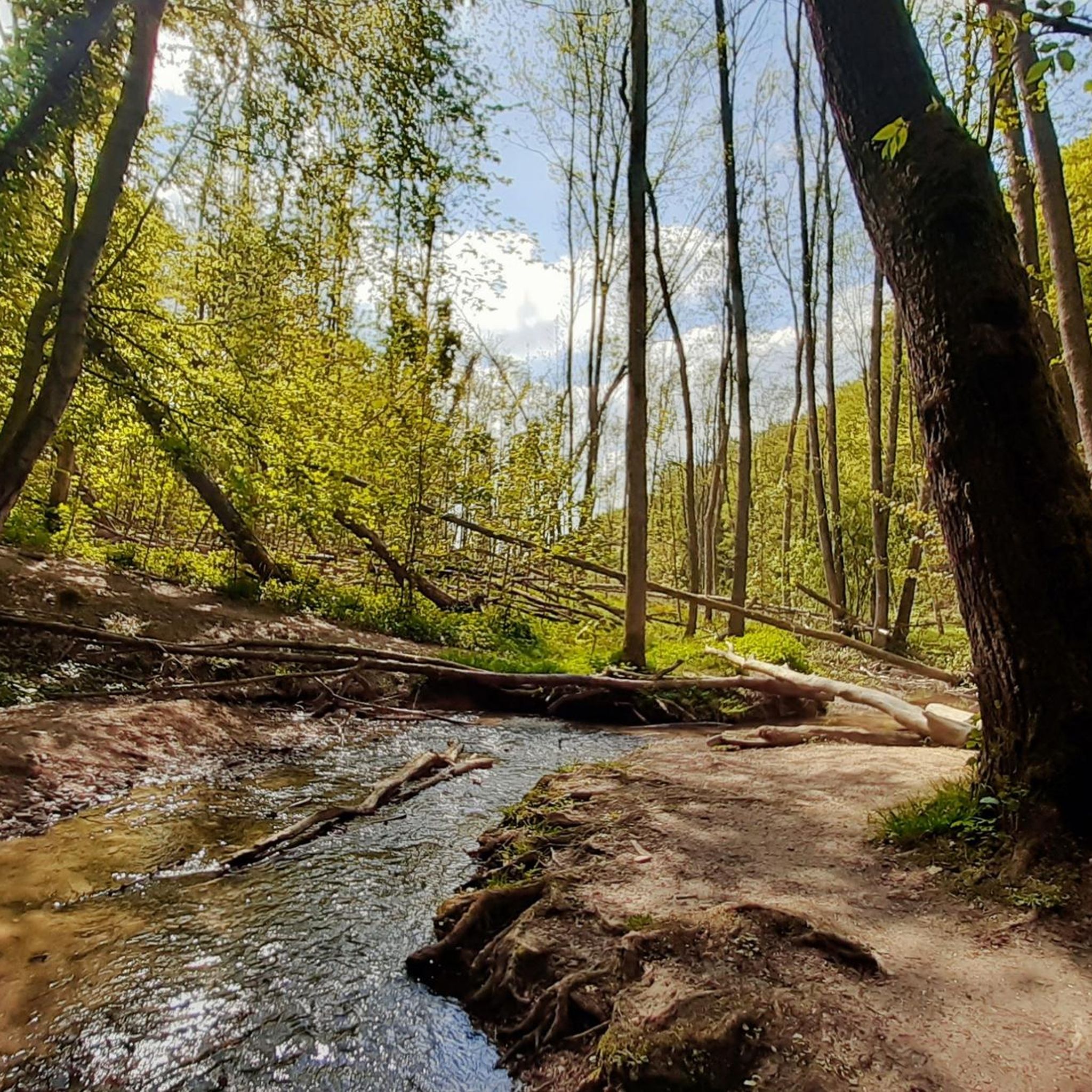
The Kupfersiefer Valley near Rösrath is a protected landscape area that perfectly showcases the diversity of the Bergisches Land region's valleys. Here, the stream meanders naturally for extended stretches, accompanied by damp meadows, old groves, and wooded slopes. The valley provides a habitat for numerous animal and plant species. As you walk through this approximately 65-hectare nature reserve, you can enjoy peace and quiet far removed from the hustle and bustle of everyday life.
1
0

Eulenbroich Castle was built around 1200 as a moated castle and is located in the Sülz river valley, very close to the center of Rösrath. Over the centuries, the building has served many different purposes: as a grand bourgeois villa, as the mayor's residence, and as a retirement home. Since 2003, the Eulenbroich Castle Cultural Association has managed the castle. Today, Eulenbroich Castle is open to the public for concerts, corporate events, markets, seminars, conferences, weddings, communion celebrations, and birthday parties.
0
0


At Hauptstraße 310-312 in Rösrath, you can view the historic site of the Reusch Villas (exterior only). The Karl Reusch Villa (built in 1896) and the Kurt Reusch Villa (built in 1894) stand together in a large English-style park with mature trees. These two villas are among a total of four villas owned by the Reusch brothers. The other pink villa can still be admired on "Am Hammer," a street branching off the main street.
1
0

A beautiful little river that, together with the typical Bergisches village of Hoffnungsthal, creates a great backdrop!
0
0

"The Sülz Valley takes its name from the Sülz River and its two source streams, the Kürtener Sülz and the Lindlarer Sülz. Measured from the source of the Lindlarer Sülz, the Sülz travels 49 km before flowing into the Agger River near Lohmar. This makes the Sülz the most important tributary of the Agger, which in turn drains into the Rhine via the Sieg River." https://www.ich-geh-wandern.de/suelztal "...The name Sülz is derived from the Germanic word *sula- and describes a marshy place, a wallow, or a pool..." https://de.wikipedia.org/wiki/S%C3%BClz_(Fluss)
0
0

There are some beautiful half-timbered houses here; a lovely, winding place. The half-timbered houses are in the typical Bergisch colors with green shutters.
0
0
Frequently Asked Questions
What kind of terrain can I expect on mountaineering routes in Kupfersiefer Tal?
The routes in Kupfersiefer Tal are known for their diverse and 'wildly romantic' natural beauty. You'll encounter the largely undisturbed stream valley of the Kupfersiefer Bach, nutrient-poor beech mixed forests on the slopes, and varied green spaces including lean grasslands and stream meadows. Some paths feature steep banks and meander through the natural landscape, offering a genuine outdoor experience.
Are there any easy mountaineering routes suitable for beginners in Kupfersiefer Tal?
Yes, there are routes suitable for all fitness levels. For a more accessible option, consider the Aussicht auf Venauen – Schloss Eulenbroich loop from Rösrath. This easy 7.1 km trail takes approximately 1 hour 56 minutes and leads through varied green spaces and beech mixed forests.
What are some moderate mountaineering routes in Kupfersiefer Tal?
For those seeking a moderate challenge, the Kupfersiefer Tal – Schloss Eulenbroich loop from Rösrath is a popular choice. This 10 km route takes about 2 hours 41 minutes and meanders through the wild-romantic stream valley. Another excellent moderate option is the Franziska Shaft Headframe – View from Lüderich loop from Hoffnungsthal, a 12.3 km path with notable elevation changes, taking around 3 hours 26 minutes.
Are there any circular mountaineering routes available in Kupfersiefer Tal?
Yes, all the featured mountaineering routes in Kupfersiefer Tal are circular. This includes the popular Kupfersiefer Tal – Schloss Eulenbroich loop from Rösrath, the Aussicht auf Venauen – Schloss Eulenbroich loop from Rösrath, and the Franziska Shaft Headframe – View from Lüderich loop from Hoffnungsthal, allowing you to start and end at the same point.
What natural features or landmarks can I see along the mountaineering routes?
The region is rich in natural beauty and historical points of interest. You can explore the Kupfersiefer Brook Valley, which is part of the Kupfersiefer Bachtal Nature Reserve. A notable historical landmark is the Kupfersiefer Mill, where remnants of the mill wheel can still be seen, offering a glimpse into the region's past.
How long do the mountaineering routes in Kupfersiefer Tal typically take to complete?
The duration of the routes varies depending on their length and difficulty. For instance, the easy Aussicht auf Venauen – Schloss Eulenbroich loop from Rösrath can be completed in about 1 hour 56 minutes. Moderate routes like the Kupfersiefer Tal – Schloss Eulenbroich loop from Rösrath take around 2 hours 41 minutes, while the longer Franziska Shaft Headframe – View from Lüderich loop from Hoffnungsthal typically requires about 3 hours 26 minutes.
What level of fitness is required for mountaineering in Kupfersiefer Tal?
The routes range from easy to moderate. While some paths are accessible and suitable for all fitness levels, many of the 'mountaineering' routes involve elevation gains and require good fitness and sure-footedness. Sturdy shoes are recommended for all routes, especially those with varied terrain and longer durations.
Are there any specific natural reserves or protected areas in Kupfersiefer Tal?
Yes, a significant part of the region's appeal lies within the Kupfersiefer Bachtal Nature Reserve. This nearly four-kilometer-long valley encompasses the Kupfersiefer Bach and is characterized by its largely undisturbed, natural stream valley, beech mixed forests, and diverse green spaces.
What kind of forests will I encounter on the trails?
The slopes accompanying the valley are home to nutrient-poor beech mixed forests. Some of these forests feature old-growth trees and a well-developed shrub layer, considered valuable relics of deciduous woodland. You'll experience these natural woodlands on many of the routes, such as the Aussicht auf Venauen – Schloss Eulenbroich loop from Rösrath.
What are the typical elevation changes on mountaineering routes in Kupfersiefer Tal?
The routes in Kupfersiefer Tal feature varying elevation changes. For example, the Kupfersiefer Tal – Schloss Eulenbroich loop from Rösrath has an elevation gain of approximately 120 meters. More challenging routes like the Franziska Shaft Headframe – View from Lüderich loop from Hoffnungsthal involve a more significant ascent of around 228 meters, requiring good fitness.
Are there options for longer, more challenging mountaineering routes?
While not technically high-alpine, some routes offer a good challenge for experienced hikers. The Franziska Shaft Headframe – View from Lüderich loop from Hoffnungsthal, at 12.3 km with over 220 meters of elevation gain, provides varied terrain and a longer duration of over 3 hours, requiring very good fitness and sturdy shoes.
Most popular routes around Kupfersiefer Tal
Most popular attractions around Kupfersiefer Tal

Get inspired with the komoot mobile app


Explore more
Browse the best Mountain Hikes & Routes in other regions.
