The best mountain hikes around Hummeltal
5.0
(1)
7
hikers
1
hike
Mountaineering around Hummeltal offers routes through the varied landscapes of Franconian Switzerland, characterized by limestone formations, dense forests, and river valleys. The region features a mix of gentle ascents and more challenging trails, providing diverse terrain for exploration. Many routes traverse woodlands and open areas, often leading to scenic viewpoints. The elevation changes are generally moderate, making the area accessible for different skill levels.
Best mountaineering routes around Hummeltal
- The most popular mountaineering route is Great Hasenloch – View of…
Last updated: August 29, 2026
3
hikers
5.03km
01:28
130m
130m
Easy mountaineering route. Great for any fitness level. Easily-accessible paths. Suitable for all skill levels.
5.0
(1)
1
hikers
Easy mountaineering route. Great for any fitness level. Easily-accessible paths. Suitable for all skill levels.

Sign up for free
2
hikers
16.1km
04:35
340m
340m
Moderate mountaineering route. Good fitness required. Mostly accessible paths. Sure-footedness required.
1
hikers
4.93km
01:25
110m
110m
Moderate mountaineering route. Great for any fitness level. Mostly accessible paths. Sure-footedness required.
Our route recommendations are based on thousands of hikes, rides, and runs completed by other people on komoot.
Start today with a free account
Your next adventure awaits.
Login or Signup
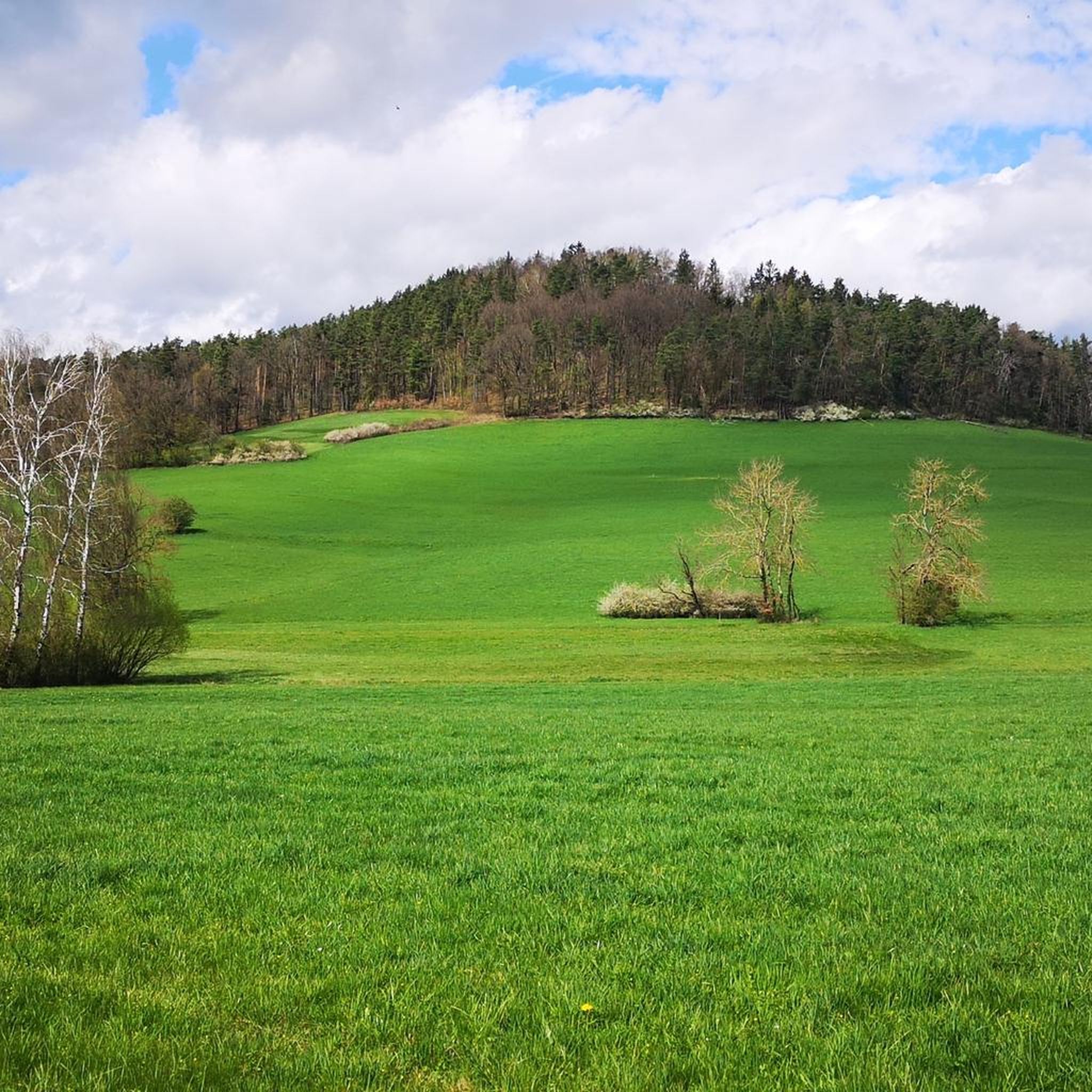
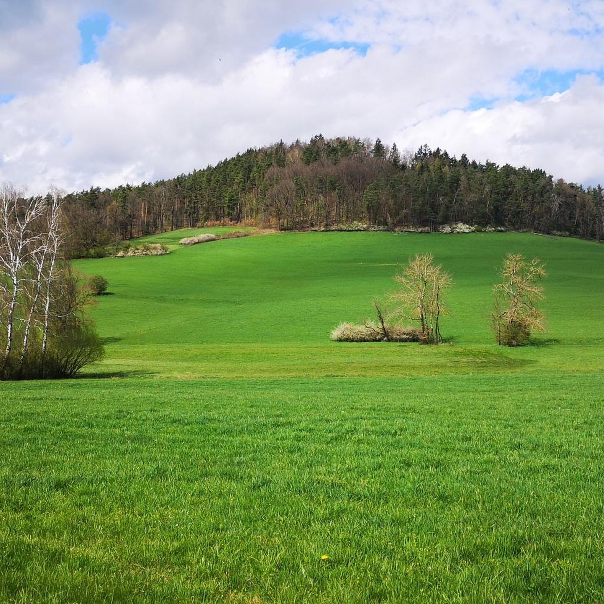
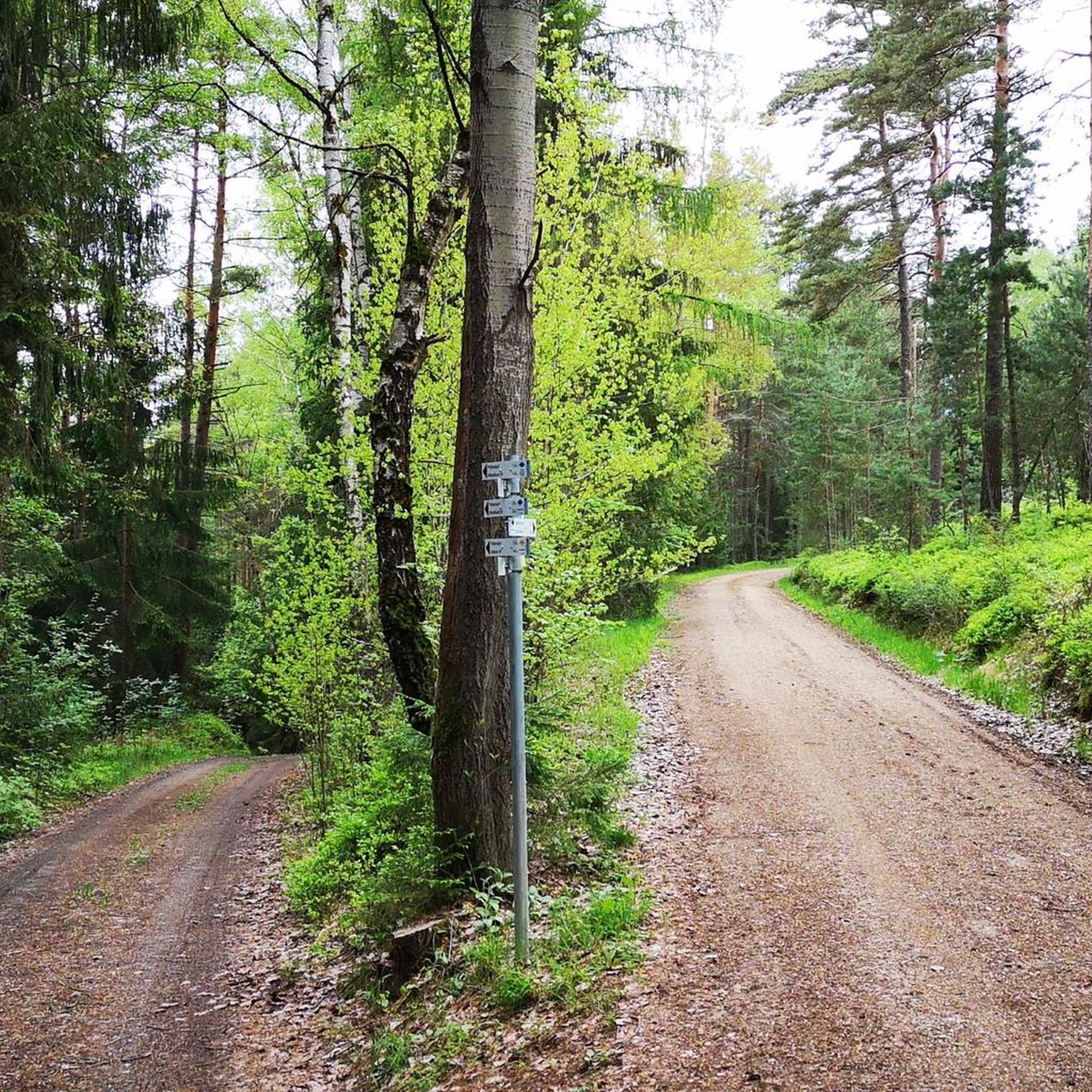
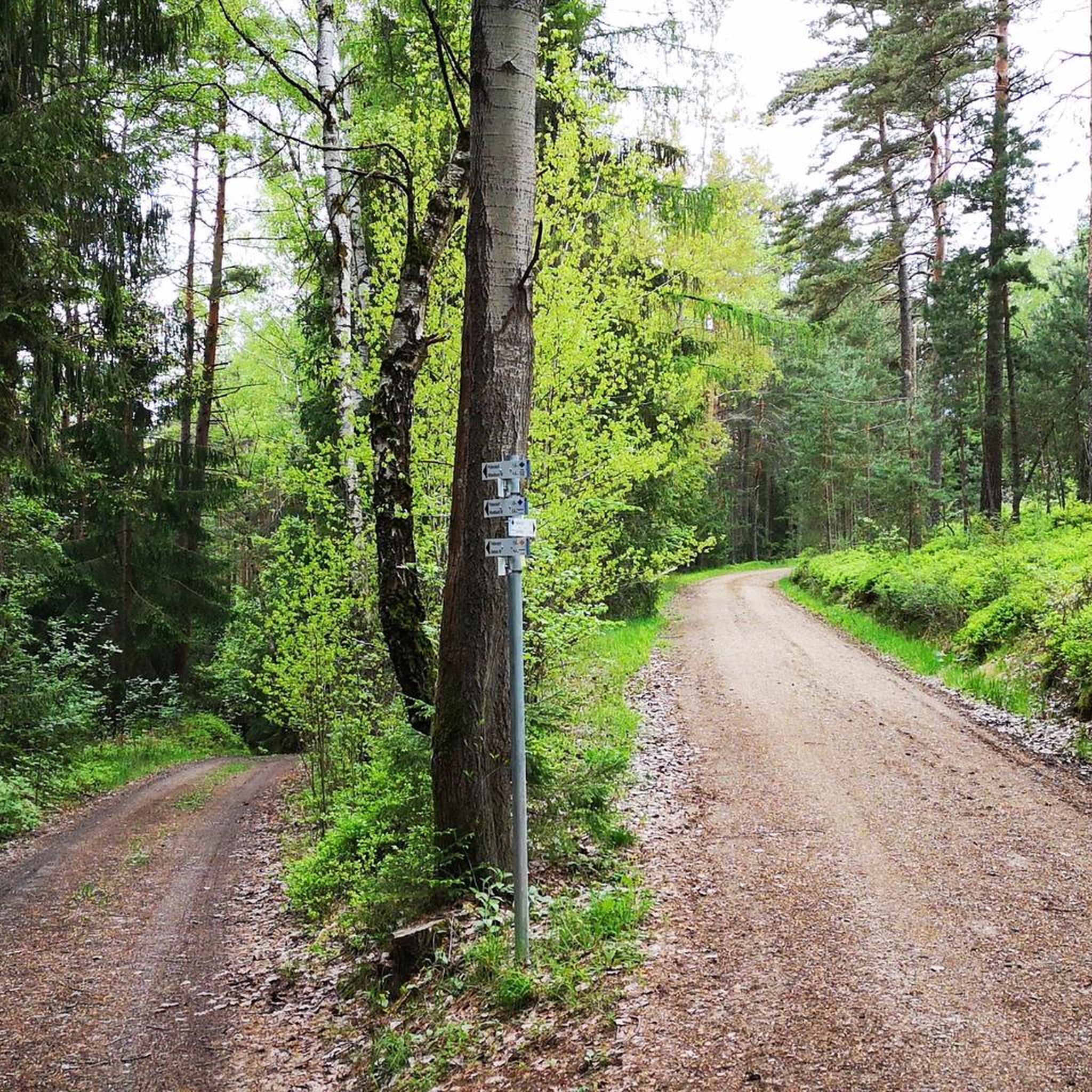

Tips from the Community

The idyllic Jura village of Oberailsfeld, a part of the Ahorntal municipality, is among the oldest settlements in the Franconian Switzerland. Its roots reach back to the year 850, while the first documented mention dates from 1094. Characterized by primeval, sheep-grazed juniper slopes and steeply rising dolomite rocks, the village lies idyllically in the valley floor directly on the Ailsbach stream. It serves as a popular starting point for hikes and climbing tours in the region. The village's unmissable architectural landmark is the baroque parish church of St. Burkard from 1770, whose distinctive spire dominates the village scenery. Just a few steps away is the traditional brewery and inn Held-Bräu, another cultural focal point, whose innkeeper's license has been in family ownership for over 300 years. In addition to Franconian hospitality, the village is primarily known for its vibrant traditions: in spring, the village well is artfully decorated as an Easter fountain, and on December 20th, the valley transforms into a mystical backdrop during the solemn torchlight procession for the Eternal Adoration, illuminated by countless mountain bonfires.
2
0
The hiking trail from Oberailsfeld through the Ailsbach valley is one of the most scenic routes in Franconian Switzerland. The deeply incised Jura valley fascinates with spectacular dolomite rocks, an exceptional density of caves, and historical highlights such as the medieval Rabenstein Castle. The tour starts in the idyllic Jura village of Oberailsfeld, characterized by the baroque church of St. Burkhard from 1770 and juniper slopes traditionally grazed by sheep. From there, the historic promenade path initially leads pleasantly flat and shady along quaint river meadows, damp meadows, and the steeply rising rock faces directly along the Ailsbach, deeper into the picturesque valley.
2
0

The bench at the viewpoint is currently dismantled. Maybe for the winter? The view of the village is photogenic.
0
3
Nice rest area on the hiking trail from Oberaisfeld to Ailsbachtal
0
4
The Teufelsloch (Devil's Hole) near Oberwaiz is a wildly romantic nature reserve and geotope, particularly known for its gorge landscape and small waterfalls. Especially in winter, bizarre ice formations appear, constantly changing their appearance. The so-called Teufelslochgraben (Devil's Hole Gorge) is a ravine carved deep into the Rhaetian sandstone. The combination of sandstone cliffs, mosses, and ferns gives the area a primeval character.
4
0

An old telephone booth was converted into a very decorative place.
0
2

an interesting area for hiking.
0
0

An interesting church in the center of Pottenstein. A visit is worthwhile, especially for admiring the altar, side altars, pulpit, and ceiling paintings. The Mount of Olives scene on the north side of the church dates back to around 1520.
0
0
Frequently Asked Questions
How many mountaineering routes are available around Hummeltal?
There are at least 4 distinct mountaineering routes around Hummeltal featured on komoot. These trails offer a diverse experience through the varied landscapes of Franconian Switzerland, characterized by limestone formations, dense forests, and river valleys.
Are there any easy mountaineering routes suitable for beginners in Hummeltal?
Yes, Hummeltal offers several easy mountaineering routes perfect for beginners. For example, the Great Hasenloch – View of Pottenstein loop from Pottenstein is an easy 3.1-mile (5.0 km) trail with scenic views. Another accessible option is the Devil’s Hole Waterfalls – Roter Hügel rock formation loop from Heinersreuther Forst, which is 3.3 miles (5.3 km) and features waterfalls.
What are some challenging mountaineering trails in the Hummeltal area?
While many routes in Hummeltal are moderate, offering a good workout, the region's terrain provides opportunities for longer, more demanding hikes. The View of Pottenstein – Pottenstein Castle loop from Pottenstein is a moderate 10.0-mile (16.1 km) trail that leads through varied terrain with significant elevation changes, providing a more challenging experience.
Are there any circular mountaineering routes in Hummeltal?
Yes, many of the mountaineering routes in Hummeltal are designed as loops, allowing you to start and end at the same point. Examples include the Great Hasenloch – View of Pottenstein loop from Pottenstein and the Devil’s Hole Waterfalls – Roter Hügel rock formation loop from Heinersreuther Forst. The Held-Bräu Inn – Rennerfelsen and the Tiered Cave loop from Oberailsfeld is another excellent circular option.
What kind of natural attractions can I expect to see along the mountaineering routes?
The Hummeltal region, part of Franconian Switzerland, is known for its unique natural features. You can expect to see impressive limestone formations, dense forests, and river valleys. Specific highlights include the Devil’s Hole Waterfalls and the 👹 Devil's Hole (Teufelsloch) gorge. The Upper Püttlach Valley also offers stunning scenery.
Are there any historical landmarks or points of interest near the mountaineering trails?
Absolutely. Many routes offer views of historical sites. For instance, the View of Pottenstein – Pottenstein Castle loop from Pottenstein provides excellent vistas of Pottenstein Castle. The region also features various huts and inns, such as the Eckersdorf Forest Hut and King Frederick's Mill Forest Hut, which can serve as interesting points along your hike.
What do other mountaineers enjoy most about the Hummeltal area?
The Hummeltal area is highly rated by the komoot community, with an average score of 5.0 stars. Reviewers often praise the diverse landscapes, from limestone formations to dense forests and river valleys, and the variety of routes suitable for different skill levels. The scenic viewpoints and well-maintained trails are also frequently highlighted.
Are there any routes that feature waterfalls?
Yes, if you're looking for routes with waterfalls, the Devil’s Hole Waterfalls – Roter Hügel rock formation loop from Heinersreuther Forst is an excellent choice. This trail specifically highlights the Devil’s Hole Waterfalls, offering a picturesque natural feature along your hike.
What is the best time of year for mountaineering in Hummeltal?
The varied terrain of Hummeltal makes it suitable for mountaineering throughout much of the year. Spring and autumn offer pleasant temperatures and vibrant scenery, with blooming wildflowers or colorful foliage. Summer is also popular, though some routes might be more exposed. Winter can be beautiful, but conditions may require appropriate gear and caution due to snow or ice.
Are there good viewpoints along the mountaineering routes in Hummeltal?
Many routes in Hummeltal lead to scenic viewpoints, offering expansive vistas of the Franconian Switzerland landscape. The Great Hasenloch – View of Pottenstein loop from Pottenstein is specifically noted for its scenic views towards Pottenstein. The View of Pottenstein – Pottenstein Castle loop from Pottenstein also provides excellent panoramic opportunities.
Is there public transport access to the trailheads in Hummeltal?
Public transport options to trailheads in the Hummeltal region can vary. While some larger towns like Pottenstein may have bus connections, access to more remote starting points might be limited. It's advisable to check local bus schedules for specific routes and trailheads in advance, especially if you plan to rely solely on public transport.
Where can I find parking for mountaineering routes in Hummeltal?
Parking is generally available near the starting points of many popular mountaineering routes in Hummeltal, particularly in or around towns like Pottenstein or Heinersreuther Forst. Look for designated parking areas or roadside parking where permitted. Always ensure you park responsibly and respect local regulations.
Most popular routes around Hummeltal
Most popular attractions around Hummeltal

Get inspired with the komoot mobile app


Explore more
Browse the best Mountain Hikes & Routes in other regions.
