The best mountain hikes around Walting
5.0
(1)
11
hikers
3
hikes
Mountaineering around Walting offers routes through a landscape characterized by rolling hills and natural rock formations within the Landkreis Eichstätt. The region features a mix of forested areas and open terrain, providing varied scenery for outdoor exploration. Elevations are generally moderate, making the area accessible for different skill levels.
Best mountaineering routes around Walting
- The most popular mountaineering route is East ascent to Michelsberg – Kipfenberg Castle loop from Landkreis Eichstätt, a 7.0 miles (11.2 km) trail that takes…
Last updated: August 15, 2026
5.0
(1)
6
hikers
Moderate mountaineering route. Good fitness required. Mostly accessible paths. Sure-footedness required.
Get access to more routes and recommendations from other explorers.
Sign up for free
Already have an account?
Our route recommendations are based on thousands of hikes, rides, and runs completed by other people on komoot.
Start today with a free account
Your next adventure awaits.
Login or Signup
Popular around Walting
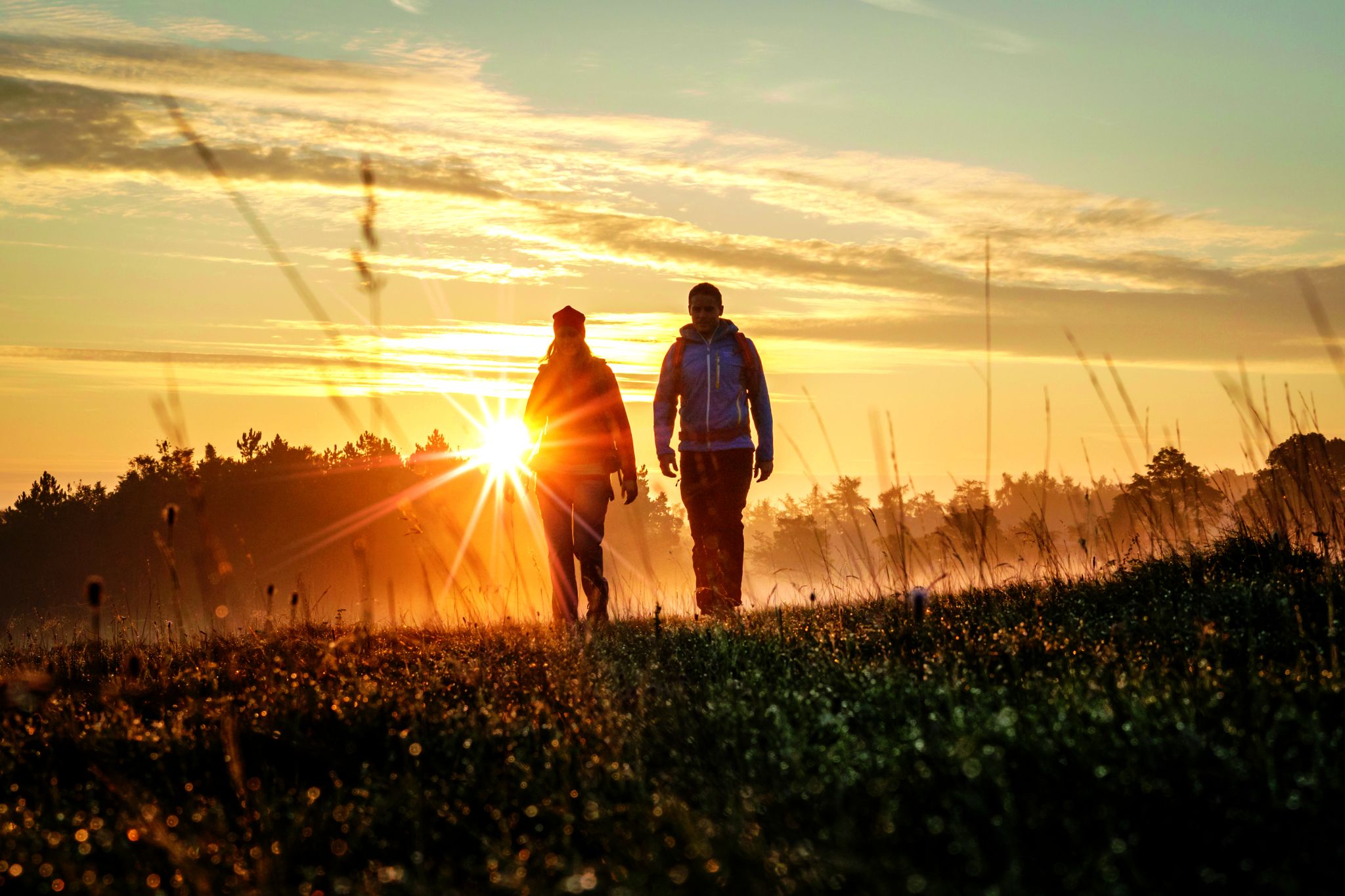
Hikes in the autumnal Altmühltal Nature Park
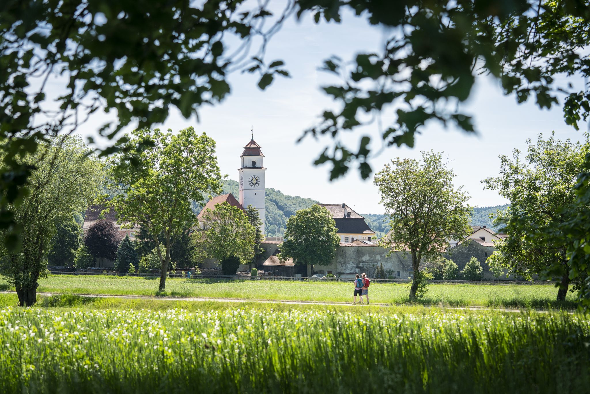
Castles, legends & dreamlike panoramas in the Altmühltal Nature Park
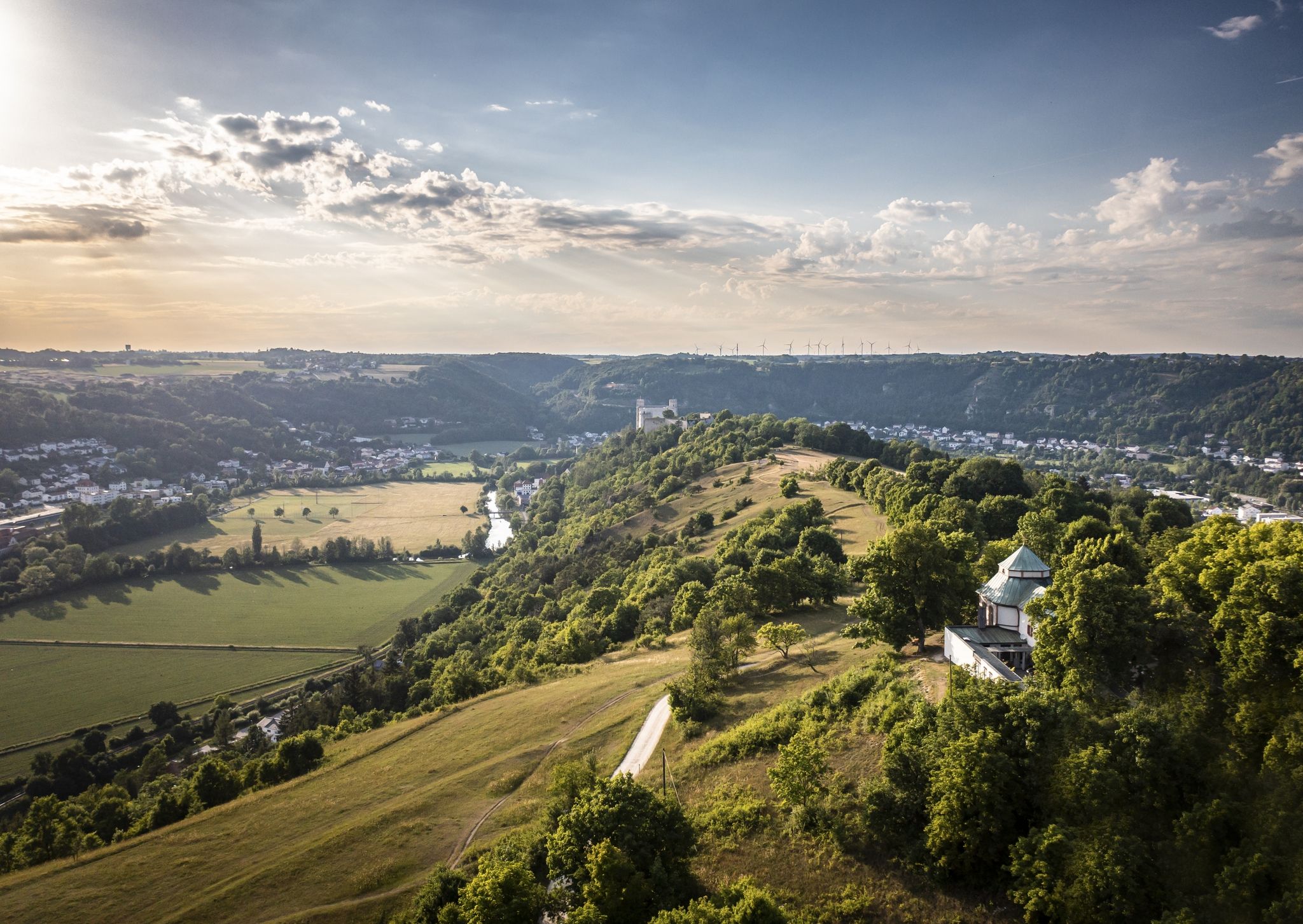
Altmühltal Panorama Trail – Altmühlsee to the Danube
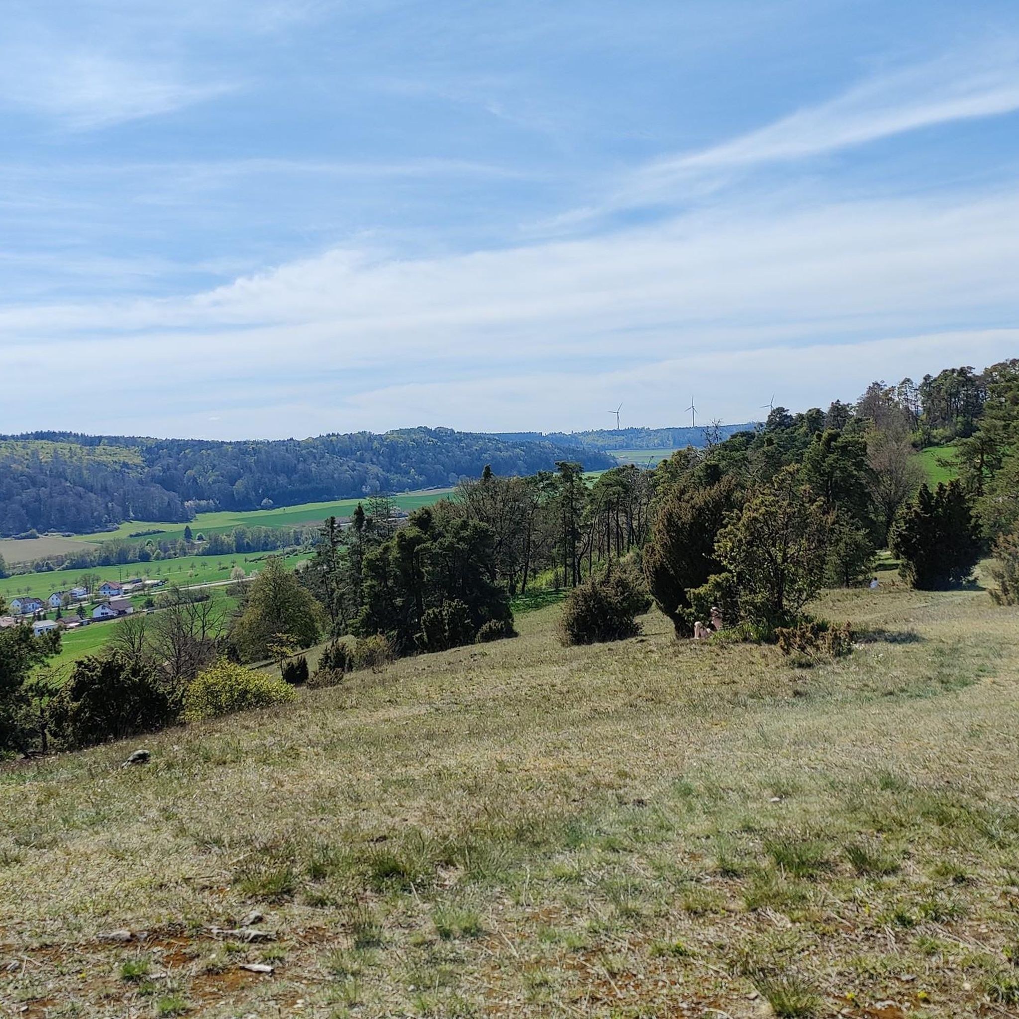
Hiking around Walting
Cycling around Walting
Road Cycling Routes around Walting
Gravel biking around Walting
Running Trails around Walting
MTB Trails around Walting
Other adventures around Walting

Tips from the Community

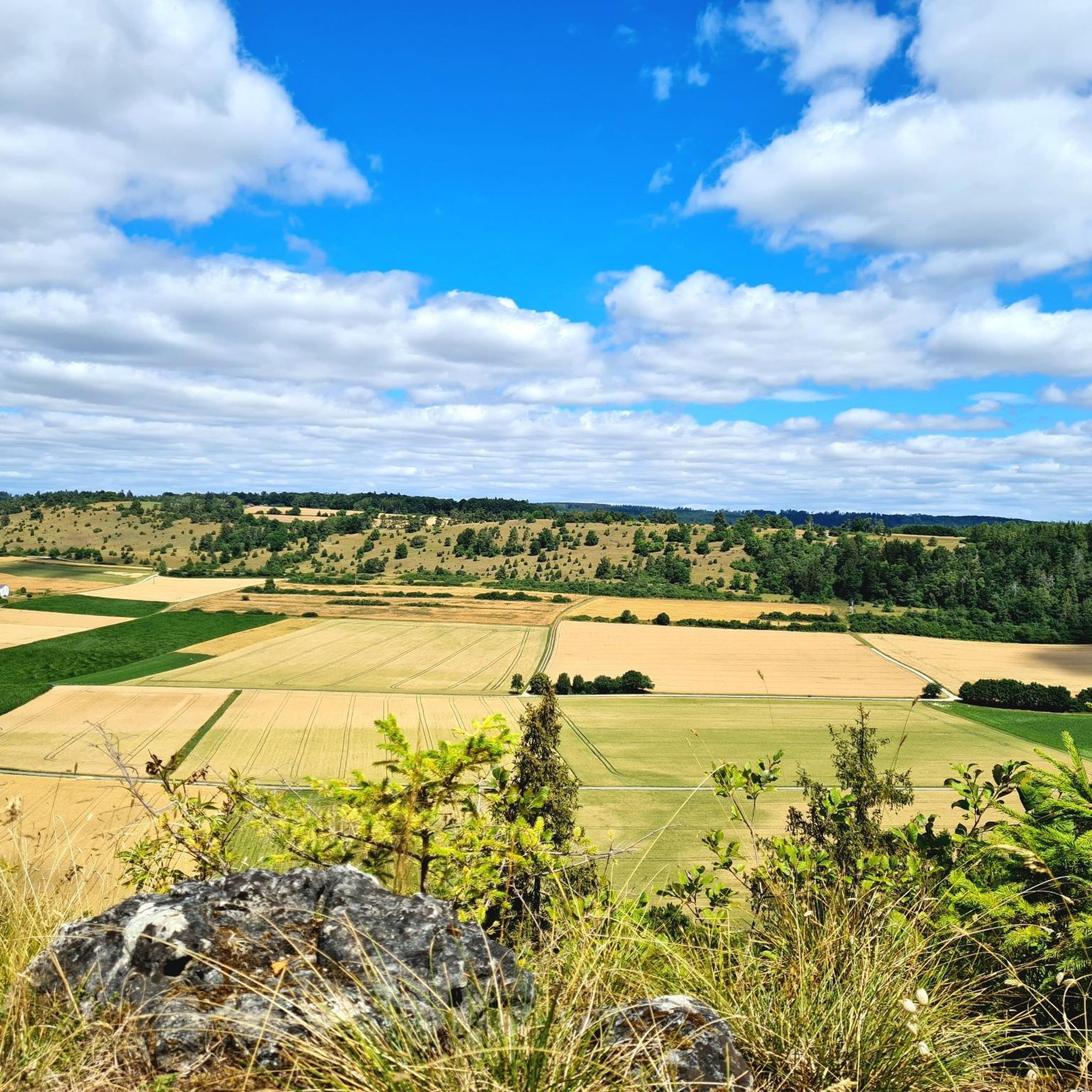
Highly recommended on sunny days, far-reaching view as far as Gungolding
0
0

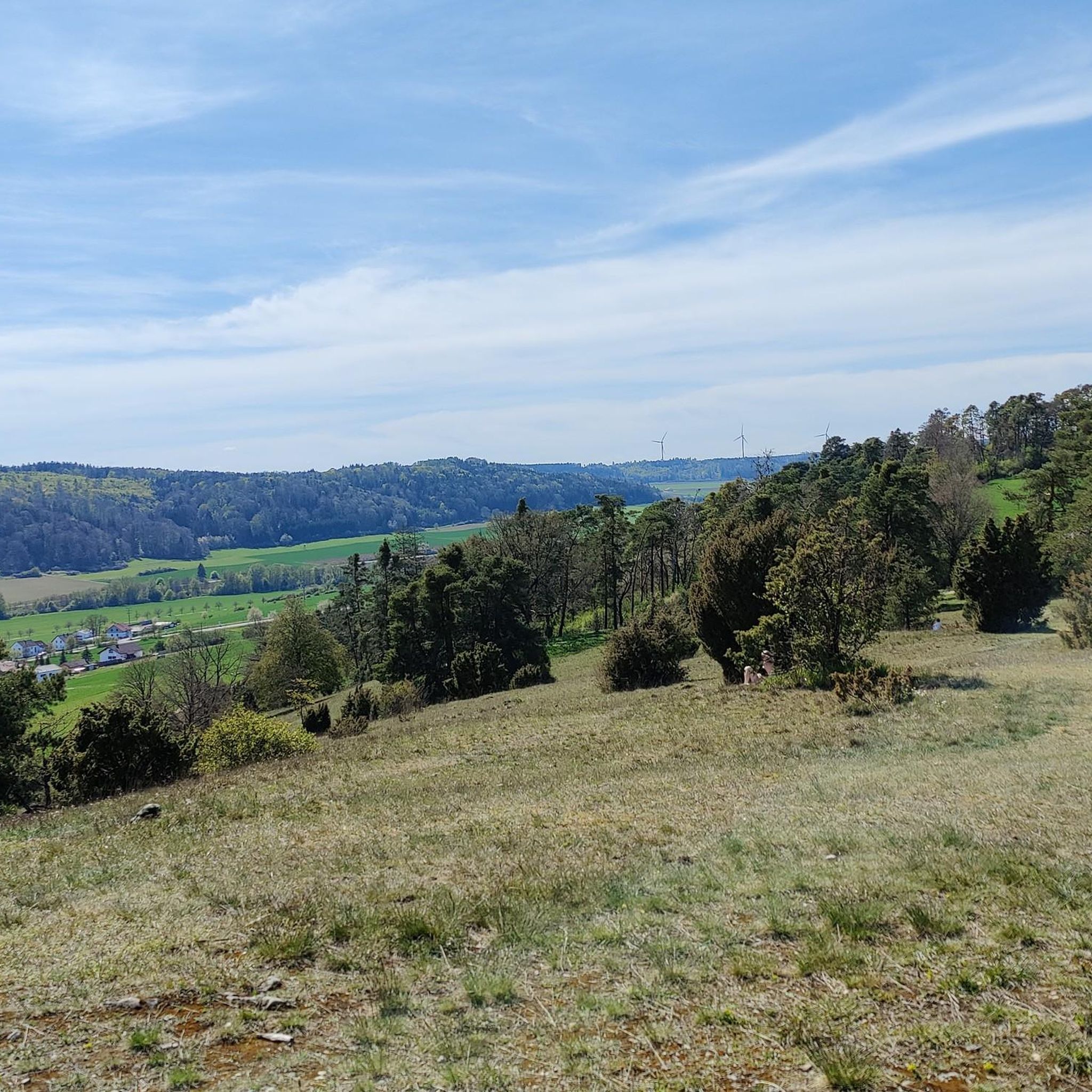
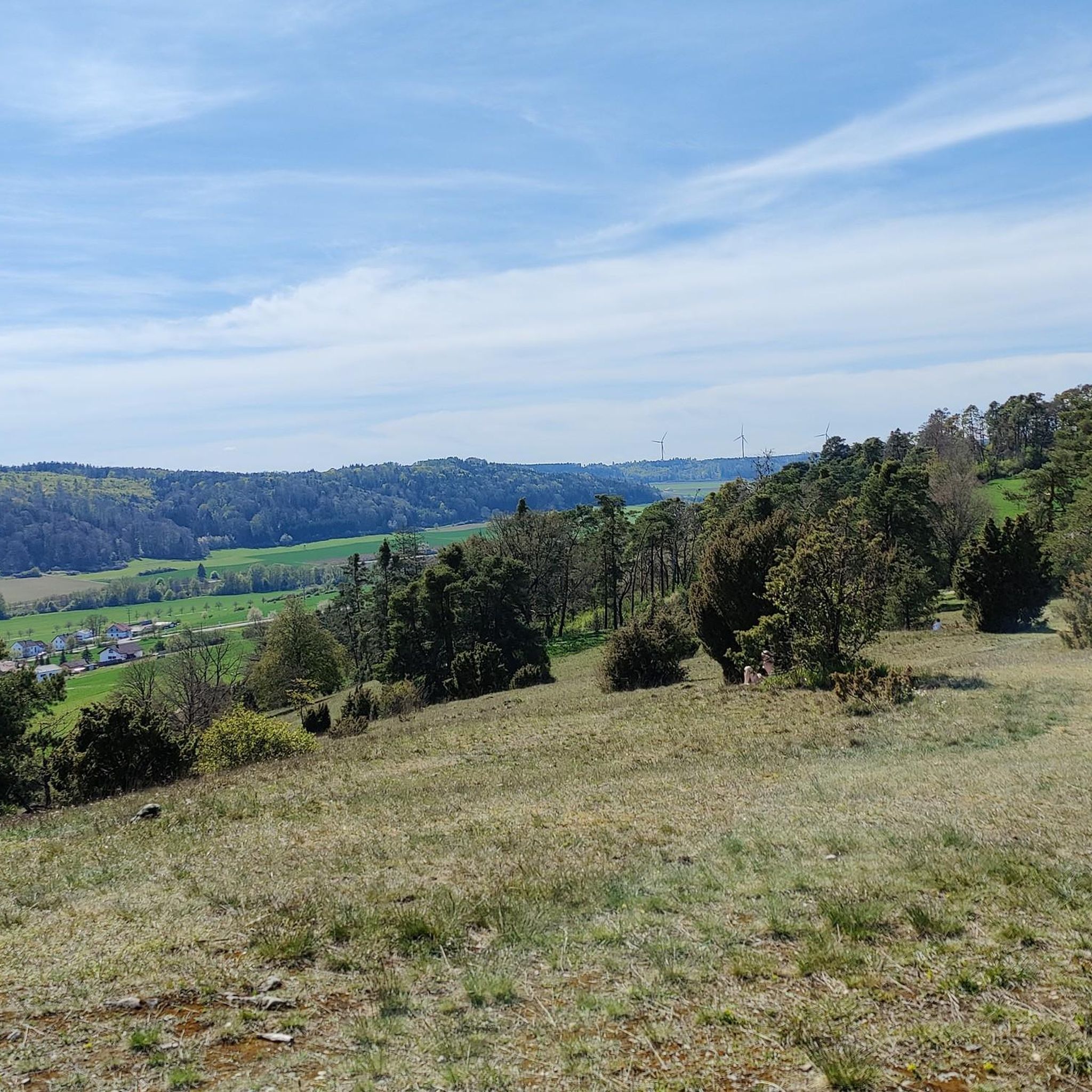
Near the well-known hotspot of the castle ruins high above the town of Arnsberg, there is a somewhat hidden viewpoint. The open slope with a view of the Altmühl Valley is easily visible from the narrow paved road leading to the castle ruins. Otherwise, there are no other signs or directions. A relatively visible, grassy trail leads slightly downhill to the slope's edge. From there, you have a magnificent view of the Altmühl Valley, west toward Gungolding, below Arnsberg, and east toward Regelmannsbrunn and the Altmühl meadows. You are also in impressive proximity to the striking dolomite cliffs on which Arnsberg Castle was once built. ATTENTION! This viewpoint is not official. Enter at your own risk! There is a danger of falling! The viewpoint directly at the ruins, with its railings and benches, is safer.
0
0

Beautiful view down into the valley.
0
1

The southern viewing rock Michelsberg in the Altmühltal offers breathtaking panoramic views of the surrounding landscape and is a popular place for nature lovers and hikers.
0
1

From the Frlskante above Arnsberg there is a great view down to the town
0
0
The view sweeps up the Altmühltal.
0
1


Beautiful view of Arnsberg and the Altmühltal. There is also a bench to sit on.
0
0
Frequently Asked Questions
How many mountaineering routes are available around Walting?
There are three dedicated mountaineering routes in the Walting area featured in this guide, all offering a moderate level of difficulty. These routes provide a great way to explore the region's natural rock formations and forested hills.
Are there any easy mountaineering routes suitable for beginners in Walting?
The mountaineering routes around Walting are generally considered moderate. While there are no routes specifically classified as 'easy' in this guide, the moderate trails, such as the Rock Arch Unteremmendorf – Kindinger Klause Cave loop, offer manageable distances and elevation gains that can be suitable for those with a basic level of fitness looking to experience mountaineering.
What is the typical duration for mountaineering routes in Walting?
The mountaineering routes in Walting typically range from approximately 2.5 to 3.5 hours to complete. For instance, the East ascent to Michelsberg – Kipfenberg Castle loop takes about 3 hours 24 minutes, while the Roman bridge Kinding – Rock Arch Unteremmendorf loop is around 2 hours 50 minutes.
Are there any circular mountaineering walks in Walting?
Yes, all the featured mountaineering routes around Walting are circular. This includes the popular East ascent to Michelsberg – Kipfenberg Castle loop, the Roman bridge Kinding – Rock Arch Unteremmendorf loop, and the Rock Arch Unteremmendorf – Kindinger Klause Cave loop, allowing you to start and end at the same point.
What kind of natural attractions can I expect to see along the mountaineering routes?
The routes often pass by significant natural rock formations. You can explore the impressive Rock Arch Unteremmendorf and the Kindinger Klause Cave. Other notable natural features in the wider area include the Arndthöhle Cave and the Torfelsen Rock Arch.
Are there any historical sites or landmarks to explore near the mountaineering trails?
Absolutely. Many routes incorporate historical elements. For example, the East ascent to Michelsberg – Kipfenberg Castle loop passes by the historic Kipfenberg Castle. Another route, the Roman bridge Kinding – Rock Arch Unteremmendorf loop, features a Roman bridge, adding a historical dimension to your hike.
What is the best time of year for mountaineering in Walting?
The Walting region, with its rolling hills and forested areas, is generally pleasant for mountaineering from spring through autumn. These seasons offer mild temperatures and vibrant scenery. While winter mountaineering is possible, conditions can vary, and specific winter gear might be necessary depending on snow and ice.
Are the mountaineering routes around Walting suitable for families?
Given that all routes are classified as moderate and feature varied terrain with manageable distances (between 8.8 km and 11.2 km), they can be suitable for families with older children who are accustomed to hiking. The presence of interesting natural formations and historical sites can also make the experience engaging for younger adventurers.
Are there any viewpoints or scenic spots along the routes?
Yes, the region offers several scenic viewpoints. While on your mountaineering adventure, you might encounter spots like the Summit cross on the Schellenberg or enjoy the View from Euerwanger Bühl. There's also a notable Viewpoint with summit cross overlooking Grösdorf, Kipfenberg, and the Altmühl Valley.
Do I need any special permits for mountaineering in Walting?
No, generally, you do not need special permits for mountaineering on the established trails around Walting. The routes are accessible to the public, allowing for free exploration of the natural landscape.
Are there any pubs or places to eat near the mountaineering routes in Walting?
While specific pubs directly on the trails are not detailed, the routes often start or pass near villages like Kinding and Unteremmendorf, where you can typically find local establishments to refresh and refuel after your hike. It's advisable to check local listings for current opening times.
What makes mountaineering in Walting unique compared to other regions?
Mountaineering in Walting is characterized by its unique blend of rolling hills, distinctive natural rock formations, and historical sites, all within a moderate elevation range. Unlike high alpine regions, Walting offers accessible routes that combine natural beauty with cultural heritage, making it ideal for those seeking varied scenery without extreme challenges.
Most popular routes around Walting
Most popular attractions around Walting

Get inspired with the komoot mobile app


Explore more
Browse the best Mountain Hikes & Routes in other regions.
