The best waterfall hikes and walks around Marienberg
4.7
(7773)
24,223
hikers
30
hikes
Waterfall hiking trails around Marienberg, located in the Erzgebirge (Ore Mountains) in Saxony, Germany, offer diverse terrain for outdoor enthusiasts. The region is characterized by rolling hills, lush forests, and crystal-clear streams, providing a natural backdrop for various trails. Hikers can explore scenic valleys like Schwarzwassertal, where streams create a cool environment, and ascend hills such as Pöhlberg for panoramic views. The landscape includes both gentle paths and more challenging ascents, catering to different fitness levels.
Best waterfall hiking trails…
Last updated: July 5, 2026
4.5
(15)
46
hikers
18.3km
04:55
230m
230m
Moderate hike. Good fitness required. Easily-accessible paths. Suitable for all skill levels.
4.4
(14)
41
hikers
17.0km
04:36
240m
240m
Moderate hike. Good fitness required. Easily-accessible paths. Suitable for all skill levels.
4.5
(2)
8
hikers
29.9km
08:07
430m
430m
Hard hike. Very good fitness required. Easily-accessible paths. Suitable for all skill levels.
Get access to more routes and recommendations from other explorers.
Sign up for free
Already have an account?
Our route recommendations are based on thousands of hikes, rides, and runs completed by other people on komoot.
Start today with a free account
Your next adventure awaits.
Login or Signup
Popular around Marienberg

History meets nature – Erzgebirge-Vogtland Ridge Trail

Kammweg Erzgebirge – Border adventure along the Ridgeway
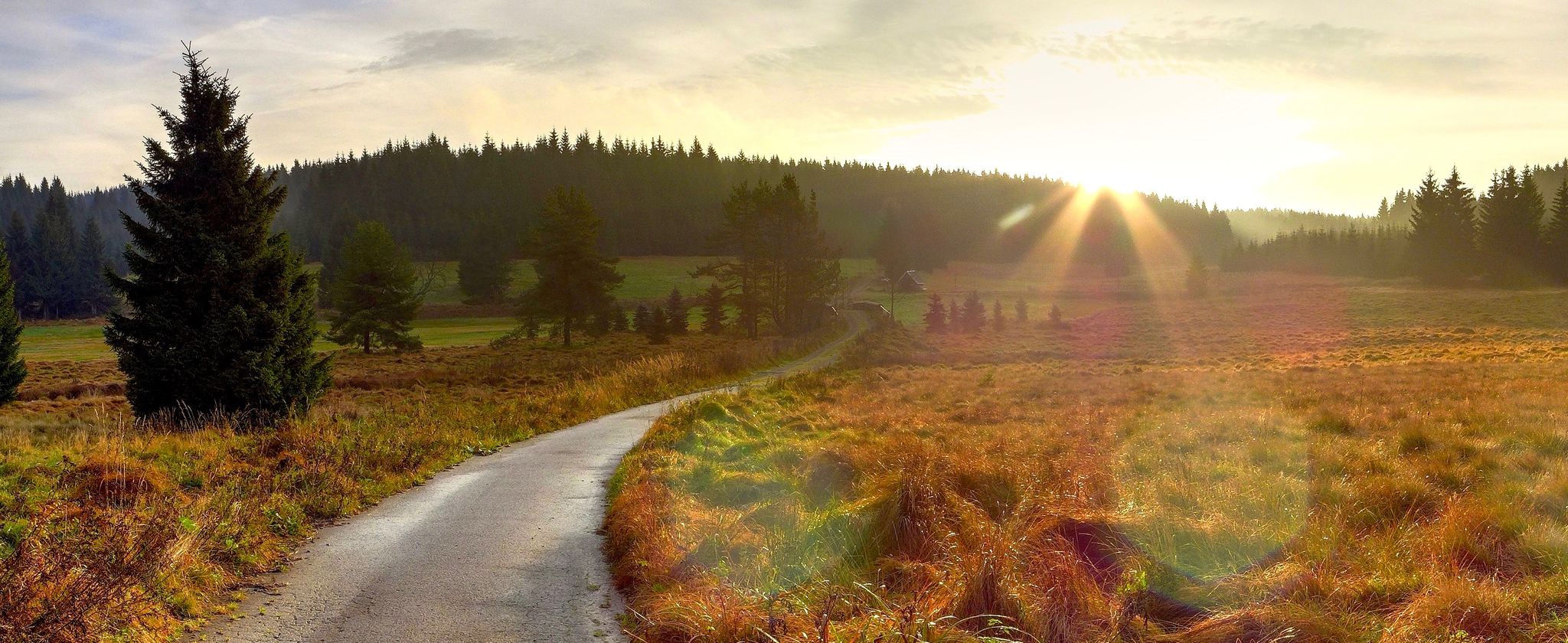
Ore Mountains — between forests and elevation

Let it flow! Cross-country skiing in the Ore Mountains
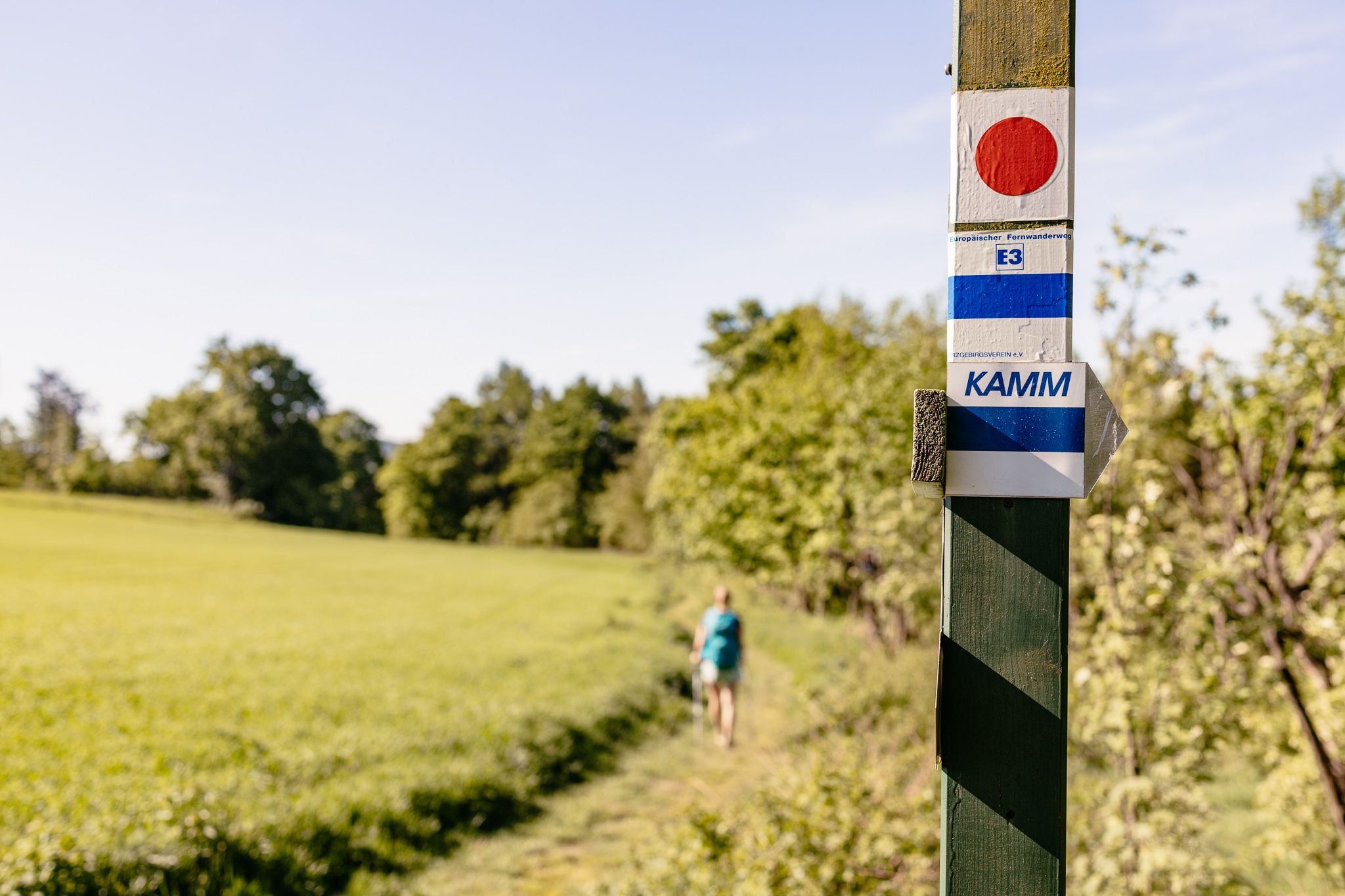
Der Kammweg Erzgebirge-Vogtland aus Sicht einer Bloggerin
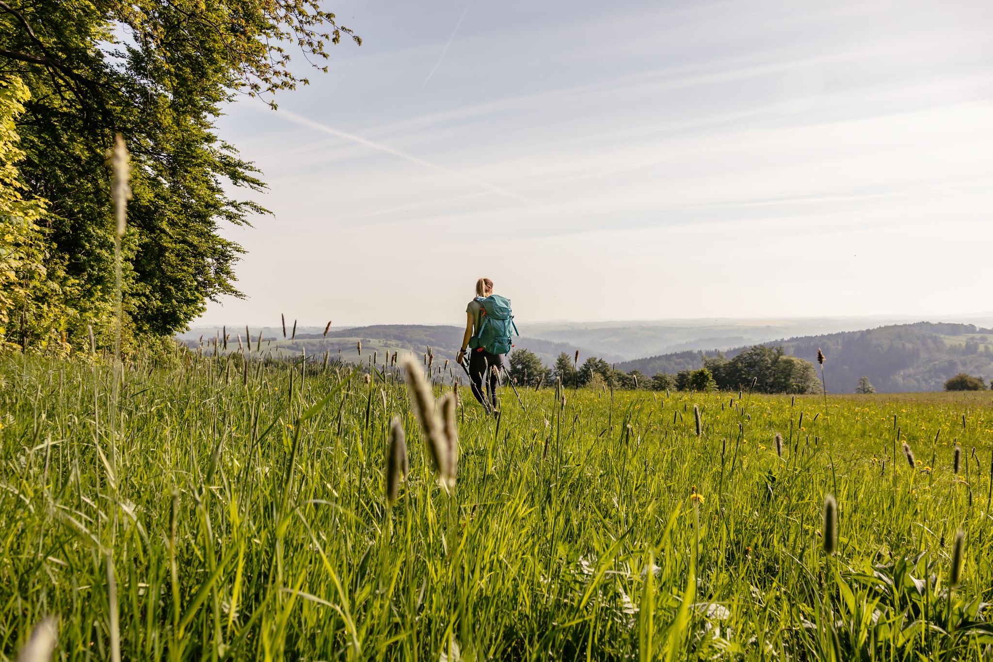
Fernwanderwege im Erzgebirge
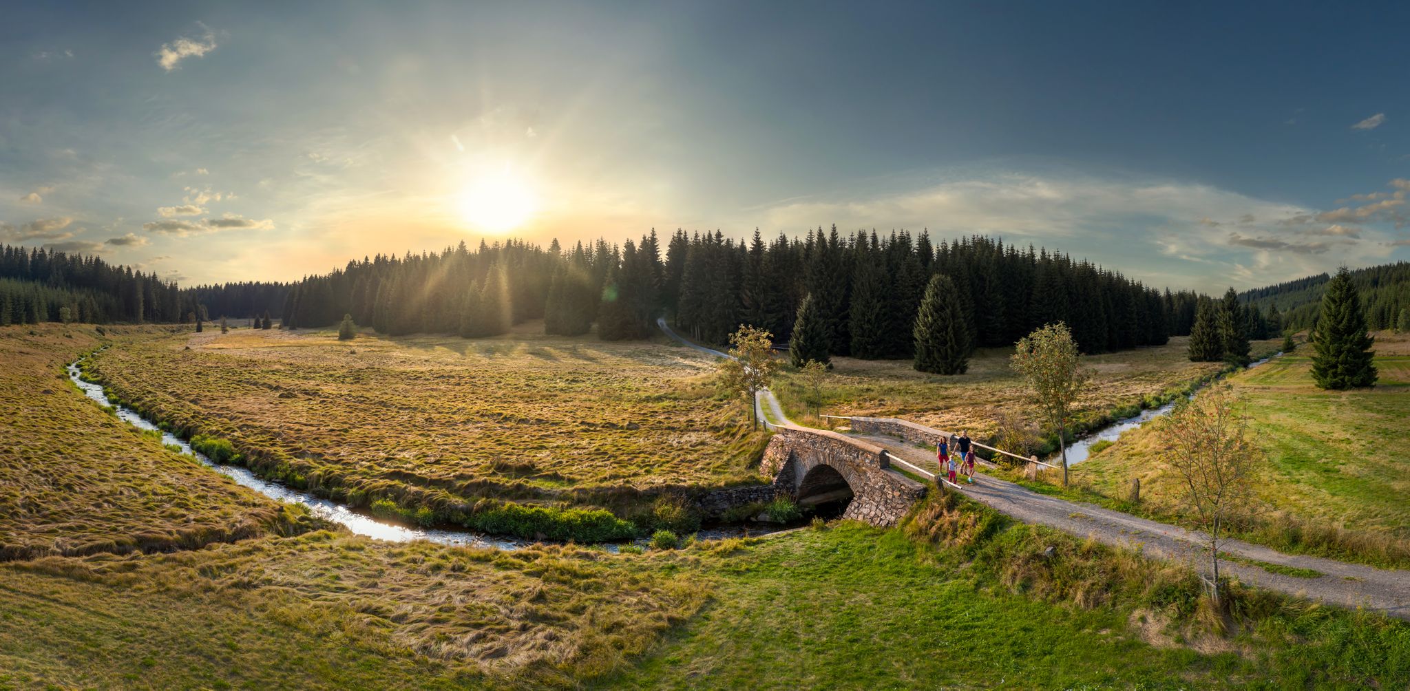
Wandertouren - Flusstäler & Talsperren
Wandertouren - "Glück Auf" im Welterbe
Other adventures around Marienberg


Tips from the Community


An information panel shows how well one could view from this point into the village of Böhmisch Reizenhain, which no longer exists since the expulsion of the Germans after World War II. Only two houses, a barn, and the cemetery chapel remain of the village depicted in historical photographs.
11
0
The bridge over the Schwarze Pockau (also Schwarzwasser, Czech: Černá) marks the border between the Federal Republic of Germany and the Czech Republic. It separates Reitzenhain in Saxony from the former town of Böhmisch Reizenhain. It is also considered the oldest existing border in Europe. It was established by Emperor Charles IV in 1372 and reaffirmed in 1459 with the Treaty of Cheb.
13
0
The stone memorial commemorating the villagers who died in World War I was erected on August 18, 1929. After the expulsion of the Germans, the stone was toppled, its inscriptions destroyed, and the entire complex vandalized. In 2001, the memorial was re-erected and consecrated once again.
13
0
A memorial site for the village of Böhmisch Reizenhain, which existed as a sister village to Reitzenhain on the Saxon side from 1401 to 1946. Today, apart from a few remnants of the walls, not even the ruins of the former buildings remain. The deserted village is called Pohraniční in Czech. In 1939, 229 people lived here. After the end of World War II, the German residents were expelled, and all the houses were razed to the ground. Only three buildings remained standing, including the chapel of the former cemetery. Today, plaques with historical photos commemorate the places along the former main road where buildings once stood.
13
1
He was a bon vivant who didn't always follow legal paths: Carl Heinrich Stülpner, to whom a memorial was erected here as Karl Stülpner. Born in Scharfenstein in 1762, the Erzgebirge soldier, poacher, smuggler, and manufacturer is still regarded as a folk hero in his homeland, occasionally even referred to as the "Saxon Robin Hood." Elaborate biographies surround him, contributing to a rich legend. Stülpner died in Scharfenstein in 1841.
13
0
This memorial stone is dedicated to Anton Günther. Born on June 5, 1876, in Gottesgab, the folk poet and composer of around 140 dialect songs, distinguished by his love of his homeland and ethnic patriotism, is also considered the inventor of the song postcard. In 1919 and 1920, the local poet visited the Reitzenhain Ore Mountains Association, founded in 1898. After Günther, suffering from severe depression, took his own life on April 29, 1937, at the age of not even 61, the association decided to erect a memorial in his honor at the Reißigmühle.
13
0

Ruins of the former customs station, from then Ulmbach .... the place was demolished
1
0
Frequently Asked Questions
How many waterfall hiking trails are available around Marienberg?
The Marienberg region offers a diverse selection of over 30 waterfall hiking trails. These routes cater to various fitness levels, including 8 easy, 17 moderate, and 5 difficult options, ensuring there's a suitable adventure for everyone.
Are there easy waterfall hikes suitable for beginners or families in Marienberg?
Yes, Marienberg features 8 easy waterfall hiking trails, perfect for beginners or families looking for a more relaxed outing. These paths typically offer gentle terrain and shorter distances, allowing everyone to enjoy the natural beauty of the Erzgebirge.
What is the best time of year to visit the waterfalls in Marienberg?
The waterfalls around Marienberg are particularly impressive in spring, when snowmelt contributes to a stronger flow, and the surrounding forests burst with vibrant colors. Autumn also offers a picturesque experience with golden deciduous forests. However, the region's streams and waterfalls provide a cool, refreshing environment even on warm summer days.
Can I find circular waterfall hiking routes in the Marienberg area?
Yes, many of the waterfall trails in Marienberg are designed as circular routes, allowing you to start and end at the same point. For example, the Karl Stülpner Memorial – Assigbach Waterfall loop from Satzung is a popular moderate circular trail that explores the scenic area around the Assigbach Waterfall.
Are dogs allowed on the waterfall hiking trails in Marienberg?
Generally, dogs are welcome on hiking trails in the Marienberg region. However, it's always recommended to keep your dog on a leash, especially in nature reserves or areas with wildlife, and to respect local signage. Please ensure you carry waste bags and enough water for your pet.
What kind of natural features can I expect to see along the waterfall trails?
Beyond the waterfalls themselves, you'll encounter diverse natural features. The region is characterized by rolling hills, lush forests, and crystal-clear streams. You might explore scenic valleys like the Schwarzwassertal, where the Schwarze Pockau stream flows, or ascend hills like Pöhlberg for panoramic views of the surrounding landscape.
Are there any historical landmarks or attractions near the waterfall hikes?
Yes, the Marienberg region is rich in history. You can explore the historic architecture of Wolkenstein Castle, which offers guided walks through its park. The town of Marienberg itself has a rich mining history, with parts of its mining region recognized as a UNESCO World Heritage Site, adding a cultural layer to your outdoor adventures.
What is the typical duration for a waterfall hike in Marienberg?
Hiking durations vary significantly depending on the trail's length and difficulty. For instance, a moderate trail like the Karl Stülpner Memorial – Assigbach Waterfall loop from Reitzenhain, which is about 18.3 km, typically takes around 4 hours and 55 minutes to complete. Shorter, easier trails will naturally take less time.
What do other hikers say about the waterfall trails in Marienberg?
The hiking trails in Marienberg are highly regarded by the komoot community, boasting an impressive average rating of 4.7 stars from over 6,000 reviews. Hikers often praise the well-maintained paths, the serene forest environments, and the refreshing beauty of the waterfalls and streams.
Are there any challenging waterfall hikes for experienced hikers?
Absolutely. For those seeking a more strenuous adventure, Marienberg offers 5 difficult waterfall hiking trails. These routes often feature greater elevation changes and longer distances, providing a rewarding challenge. An example is the Karl Stülpner Memorial – Blazer Pond loop from Satzung, a 24.4 km trail that takes about 6 hours and 39 minutes.
Is public transport available to reach the waterfall hiking trailheads?
While specific public transport details for each trailhead are best checked locally, Marienberg itself is accessible by public transport. From the town, local bus services may connect to various villages and starting points for hikes. Planning your route in advance using local transport schedules is recommended.
What should I wear for waterfall hiking in Marienberg?
For waterfall hiking in Marienberg, it's advisable to wear sturdy, waterproof hiking boots, as trails can be wet or muddy, especially near waterfalls. Layered clothing is recommended to adapt to changing weather conditions, and a waterproof jacket is always a good idea. Don't forget a backpack with water, snacks, and a map or GPS device.
Most popular routes around Marienberg
Most popular attractions around Marienberg

Get inspired with the komoot mobile app


Explore more
Browse the best Hikes in other regions.
