The best mountain hikes around Weißenohe
4.8
(6)
22
hikers
1
hike
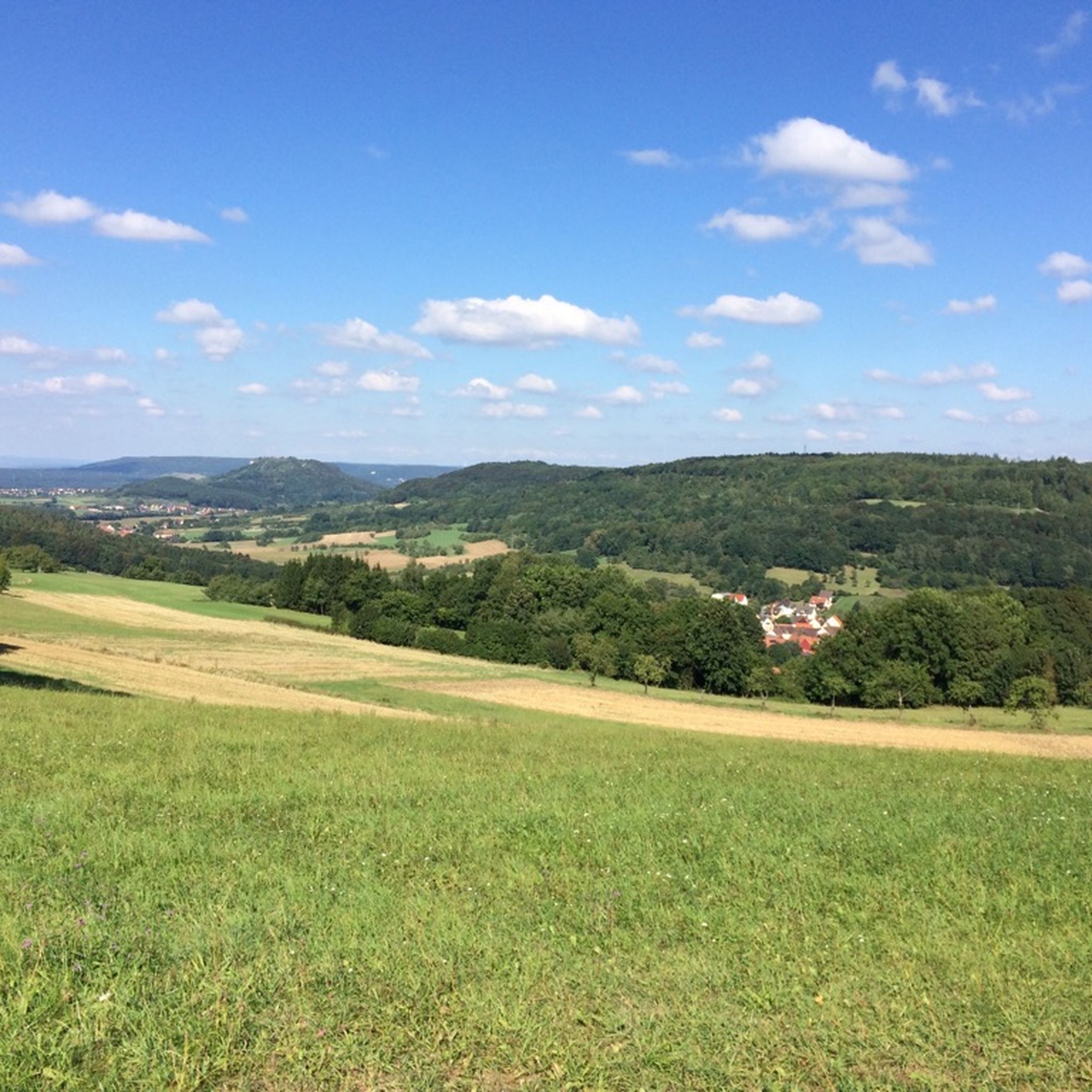
Mountaineering routes around Weißenohe are situated within Franconian Switzerland, a region characterized by its distinctive mountainous and hilly relief. The landscape features numerous limestone and dolomite rock formations, offering varied terrain for outdoor activities. Valleys, quiet forests, and open meadows define the area, including the unique Lillach Valley with its tufa terraces. This geological diversity provides a natural setting for mountaineering experiences.
Best mountaineering routes around Weißenohe
- The most popular mountaineering route is Eibgrat – Eibgrat Ridge loop from Spies…
Last updated: October 8, 2026
4.5
(4)
13
hikers
3.91km
01:15
110m
110m
Hard mountaineering route. Great for any fitness level. Sure-footedness, sturdy shoes and alpine experience required.
5.0
(1)
4
hikers
6.80km
01:59
190m
190m
Moderate mountaineering route. Great for any fitness level. Mostly accessible paths. Sure-footedness required.

1
hikers
5.15km
01:30
130m
130m
Easy mountaineering route. Great for any fitness level. Easily-accessible paths. Suitable for all skill levels.
5.0
(1)
2
hikers
8.70km
02:28
180m
180m
Moderate mountaineering route. Good fitness required. Easily-accessible paths. Suitable for all skill levels.
2
hikers
Moderate mountaineering route. Good fitness required. Easily-accessible paths. Suitable for all skill levels.
Our route recommendations are based on thousands of hikes, rides, and runs completed by other people on komoot.
Start today with a free account
Your next adventure awaits.
Popular around Weißenohe

No time for boredom – family hikes with a fun factor in Bayern
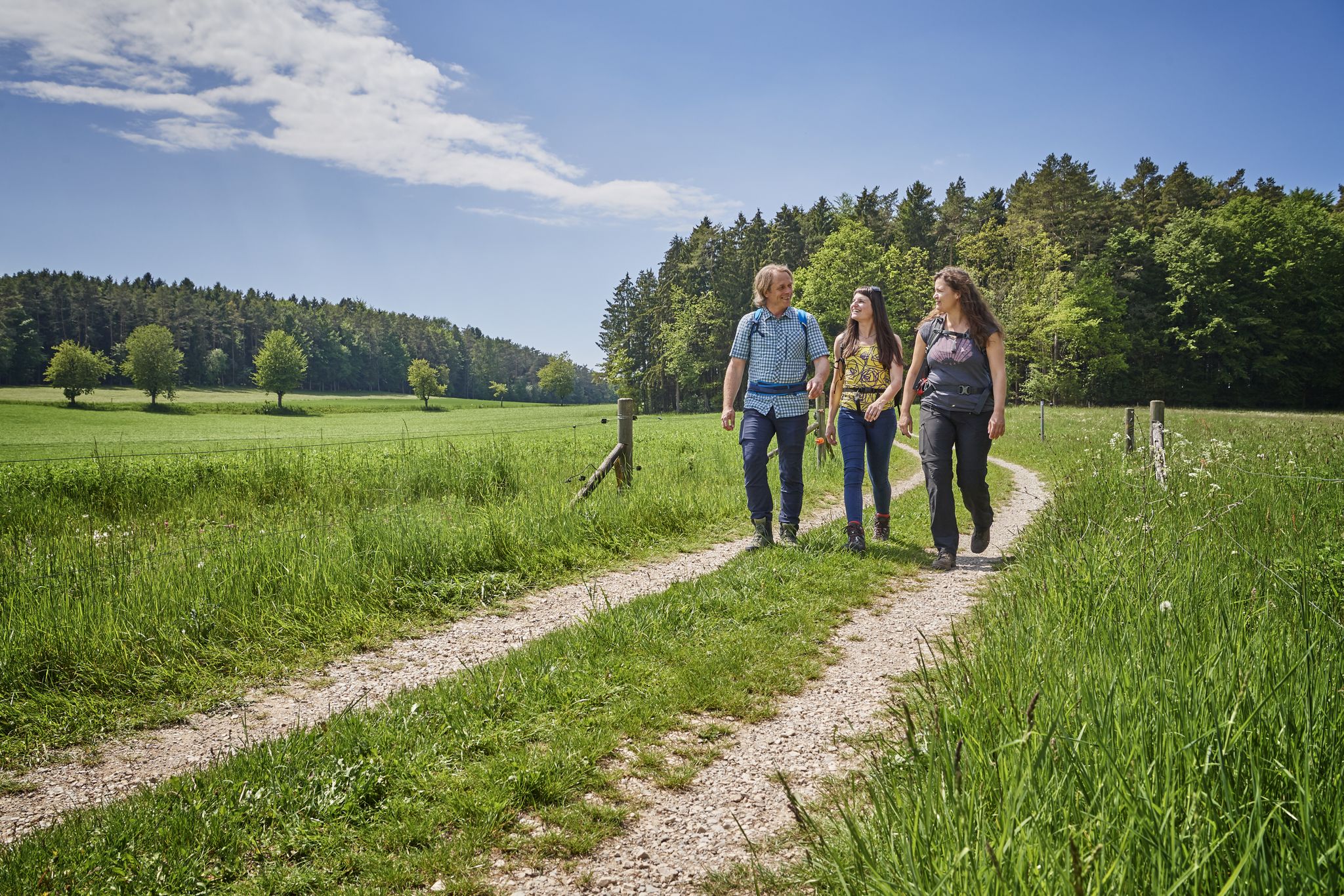
Hops, barley & beer — hiking with VGN leisure tips through Franconia

Hike & Beer in Franconia and Upper Palatinate — the VGN leisure tips
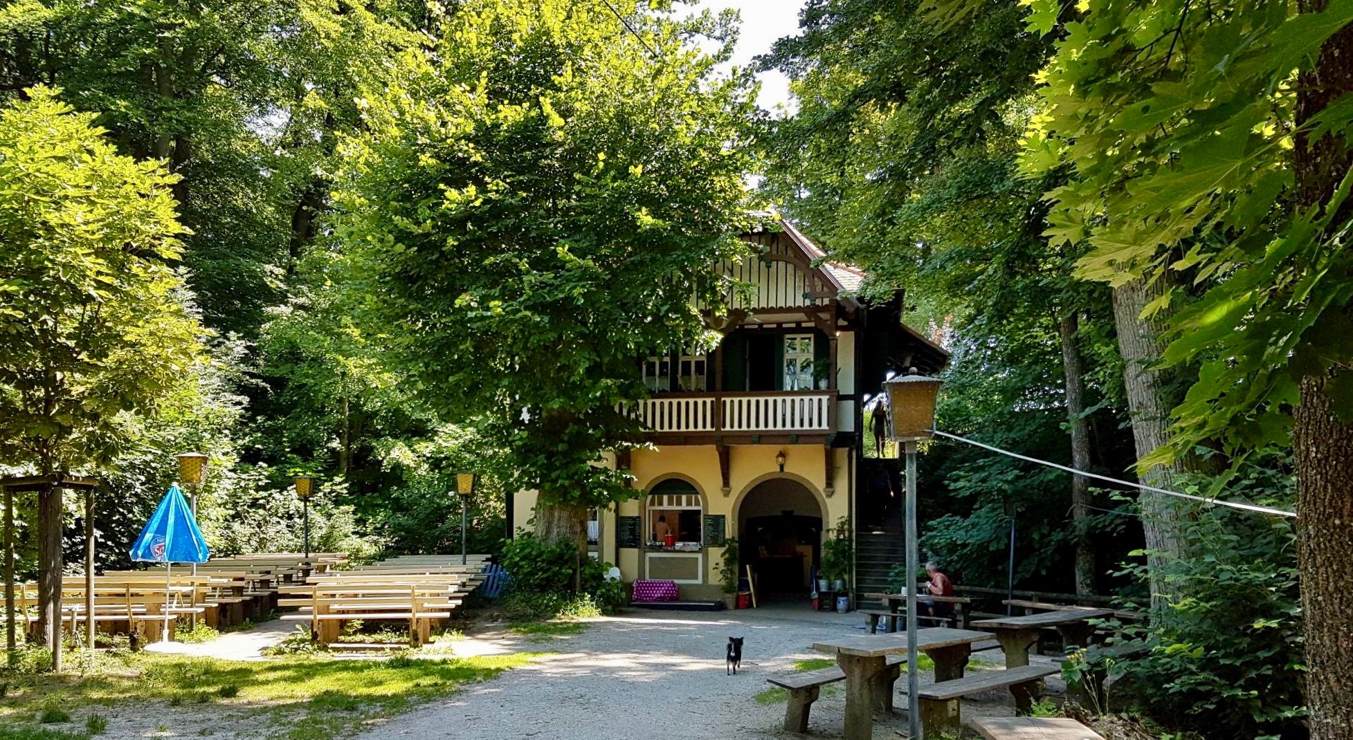
Franconian Switzerland — on the trace of the Purity Law
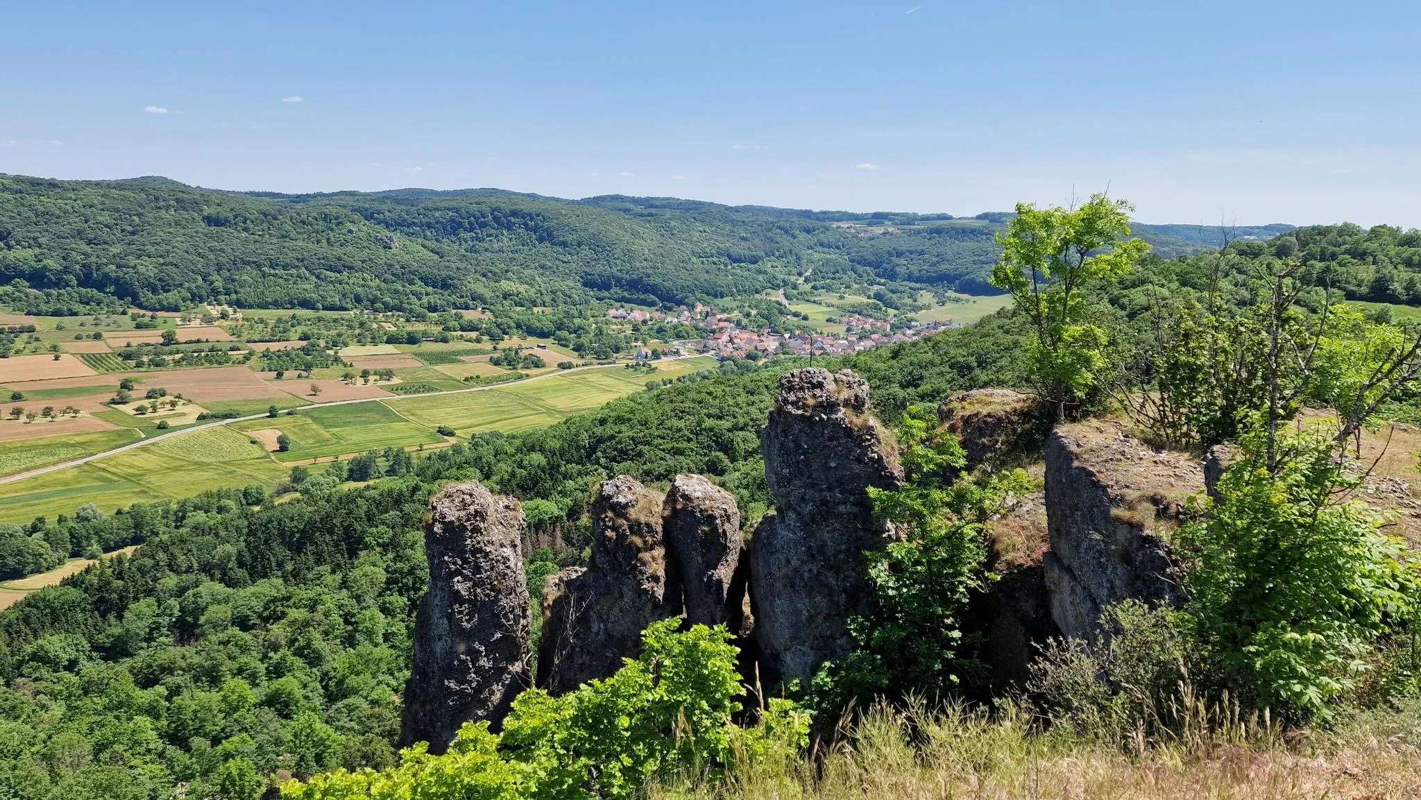
Delightful hiking in Franconian Switzerland
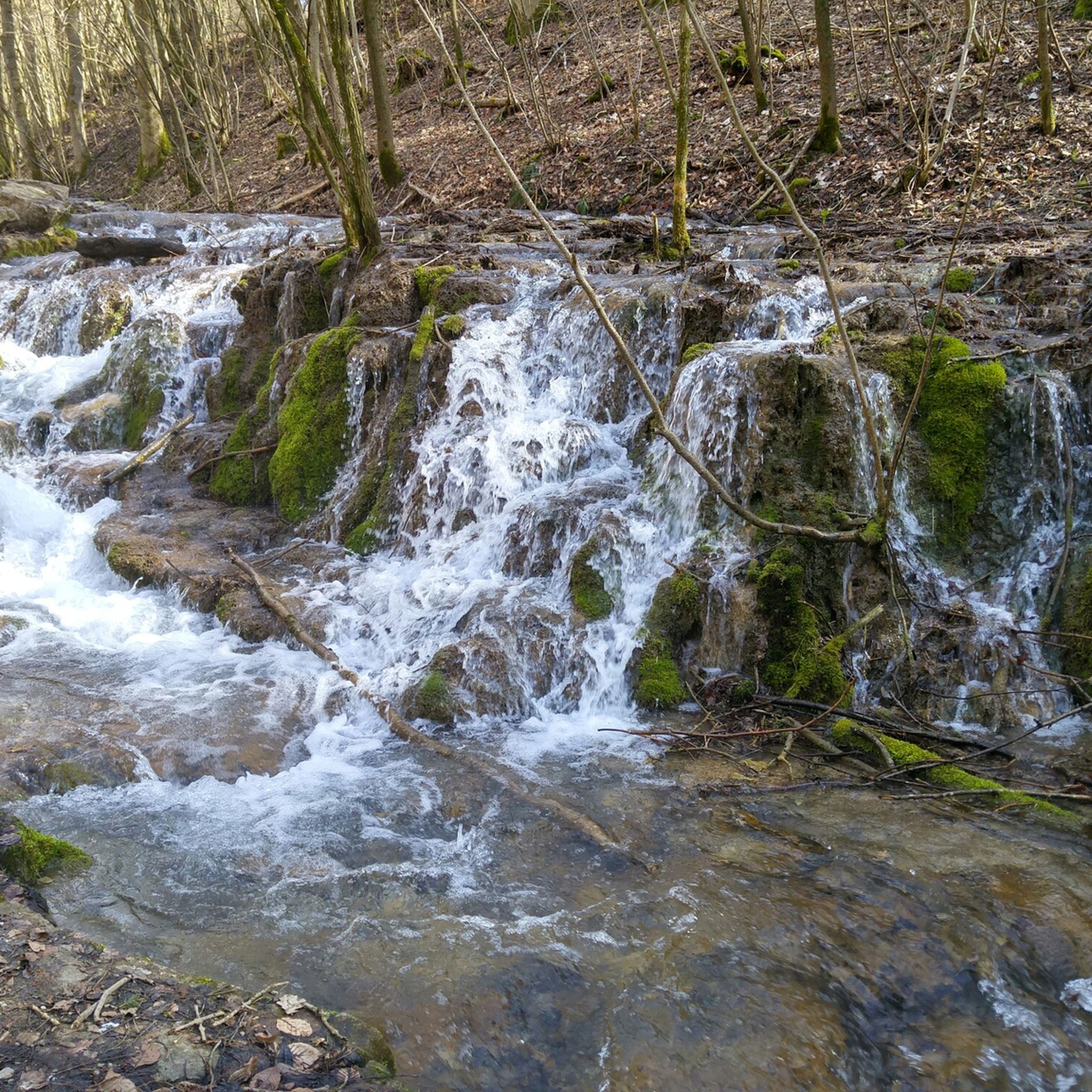
Hiking around Weißenohe
MTB Trails around Weißenohe
Cycling around Weißenohe
Road Cycling Routes around Weißenohe
Gravel biking around Weißenohe
Other adventures around Weißenohe


Tips from the Community

The Leienfels castle ruins are located on the 590-meter-high Schlossberg directly above the village of Leienfels. Extensive ruins of the medieval complex have survived to this day. The castle, whose name is likely derived from "Löwenfels" (Lion Rock), is one of the later castles in the Franconian Switzerland region and was probably built in the early 14th century. The castle was severely damaged during the Peasants' War and the Margrave War. From 1646 onwards, the remaining buildings were used as a source of material, and the complex was left to decay. The entire castle complex has the shape of a triangle; a section of approximately 30 meters of the surrounding wall with a cannon slit has been preserved between the former castle gate and the northern edge of the height. The masonry was partially renovated in 2005/06.
3
0

In my opinion the best path Connection Leutenbach and St. Moritz - mostly hidden in the woods with a few nice views on the Leutenbach valley and beyond
0
0

Chapel in the town center on the way to the Leienfels castle ruins. Very attractively designed inside.
5
0

It is always interesting to learn something about the past in this short and concise way.
0
0


Just the right place for a break.
0
0

Climbing rocks in the forest and viewing platform
1
0
Frequently Asked Questions
What kind of terrain can I expect on mountaineering routes around Weißenohe?
The region around Weißenohe, part of Franconian Switzerland, is characterized by its distinctive mountainous and hilly relief. You'll encounter numerous limestone and dolomite rock formations, dense woodlands, and picturesque valleys. The unique Lillach Valley, with its impressive sinter terraces, is a notable feature, offering an idyllic forest landscape.
Are there any family-friendly mountaineering routes near Weißenohe?
While the listed mountaineering routes are generally moderate to difficult, the wider Franconian Switzerland region offers a variety of trails suitable for families. For a moderate option, consider the Community Weißenohe – Gräfenberg Old Town loop from Weißenohe, which is longer but less strenuous in terms of technical difficulty.
What are some scenic viewpoints or natural attractions along the routes?
Many routes offer scenic views of the Franconian landscape. The Eibgrat – Eibgrat Ridge loop from Spies features the prominent Eibgrat Ridge, providing elevated vistas. Another route, the Moritz Spring – Kapuzinerfelsen Viewpoint loop from Leutenbach, leads directly to the Kapuzinerfelsen Viewpoint. Additionally, the Lillach Valley, with its unique sinter terraces and the Lillach Spring, is a significant natural attraction in the area.
Are there any circular mountaineering routes available?
Yes, all the mountaineering routes listed in this guide are circular. For example, you can explore the Eibgrat – Tanzlinde Spies loop from Spies, which navigates through varied forest terrain, or the Shaded Hollow Way – Leienfels Castle Ruins loop from Obertrubach, which includes historical ruins.
What is the best time of year for mountaineering in Weißenohe?
The region is beautiful year-round. Spring and autumn offer pleasant temperatures and vibrant scenery, with the Lillach Valley being particularly striking after rain or in spring. While the surrounding mountains provide a great backdrop for skiing in winter, specific mountaineering routes might be more challenging due to snow and ice. Summer is also popular, but be prepared for warmer weather.
What do other mountaineers enjoy most about the routes around Weißenohe?
The mountaineering routes around Weißenohe are highly rated by the komoot community, with an average score of 4.6 stars. Reviewers often praise the varied terrain, the distinctive rock formations, and the quiet, picturesque valleys and woodlands that define the area.
Are there any caves or historical sites to explore near the mountaineering trails?
Yes, the region is rich in natural and historical attractions. You can find several caves, such as the Hohle Kirche Cave and Höllenstein Cave. Historical sites include the Stierberg Castle Ruins and the Strahlenfels castle site, offering interesting detours from your mountaineering adventures.
Are there places to eat or drink near the mountaineering trails?
Weißenohe and the surrounding villages are known for their brewing heritage. While specific cafes or pubs directly on the trails are not listed, you'll find traditional Bavarian breweries and inns in the nearby towns, perfect for a 'beer hike' or a post-hike meal. The historic Weißenohe Abbey Brewery is a notable local establishment.
What is the general difficulty level of mountaineering routes in this area?
The routes around Weißenohe offer options for various ability levels. You'll find moderate paths, such as the Eibgrat – Tanzlinde Spies loop from Spies, as well as more challenging ascents like the Eibgrat – Eibgrat Ridge loop from Spies, which is rated as difficult. There is also an easy option, the Moritz Spring – Kapuzinerfelsen Viewpoint loop from Leutenbach.
Are there any shelters or huts along the mountaineering routes?
Yes, there are several shelters and huts in the wider area that can provide a resting spot or protection from the weather. Examples include the Stierberg Community Sharing Hut and Playground, the Shelter at Egloffsteiner Forst Junction, and the Winterstein Triangle Hut.
Most popular routes around Weißenohe
Most popular attractions around Weißenohe

Get inspired with the komoot mobile app


Explore more
Browse the best Mountain Hikes & Routes in other regions.
