The best mountain hikes around Troisdorf
6
hikers
3
hikes
Mountaineering routes around Troisdorf are characterized by a diverse landscape, ranging from extensive nature reserves to riverine environments and nearby low mountain ranges. The region features heathlands, dense forests, moorlands, and wetlands, particularly within the Wahner Heide and Siegaue Nature Reserves. While not a traditional technical climbing area, the proximity to the Siebengebirge offers more strenuous routes with significant elevation gains, providing challenging hikes and panoramic views. The terrain primarily supports demanding hiking and trail walking experiences.
Best mountaineering routes…
Last updated: October 8, 2026
1
hikers
9.97km
02:40
120m
120m
Moderate mountaineering route. Good fitness required. Easily-accessible paths. Suitable for all skill levels.
3
hikers
7.13km
01:57
110m
110m
Easy mountaineering route. Great for any fitness level. Easily-accessible paths. Suitable for all skill levels.

1
hikers
Moderate mountaineering route. Good fitness required. Easily-accessible paths. Suitable for all skill levels.
1
hikers
Moderate mountaineering route. Good fitness required. Easily-accessible paths. Suitable for all skill levels.
Our route recommendations are based on thousands of hikes, rides, and runs completed by other people on komoot.
Start today with a free account
Your next adventure awaits.
Popular around Troisdorf
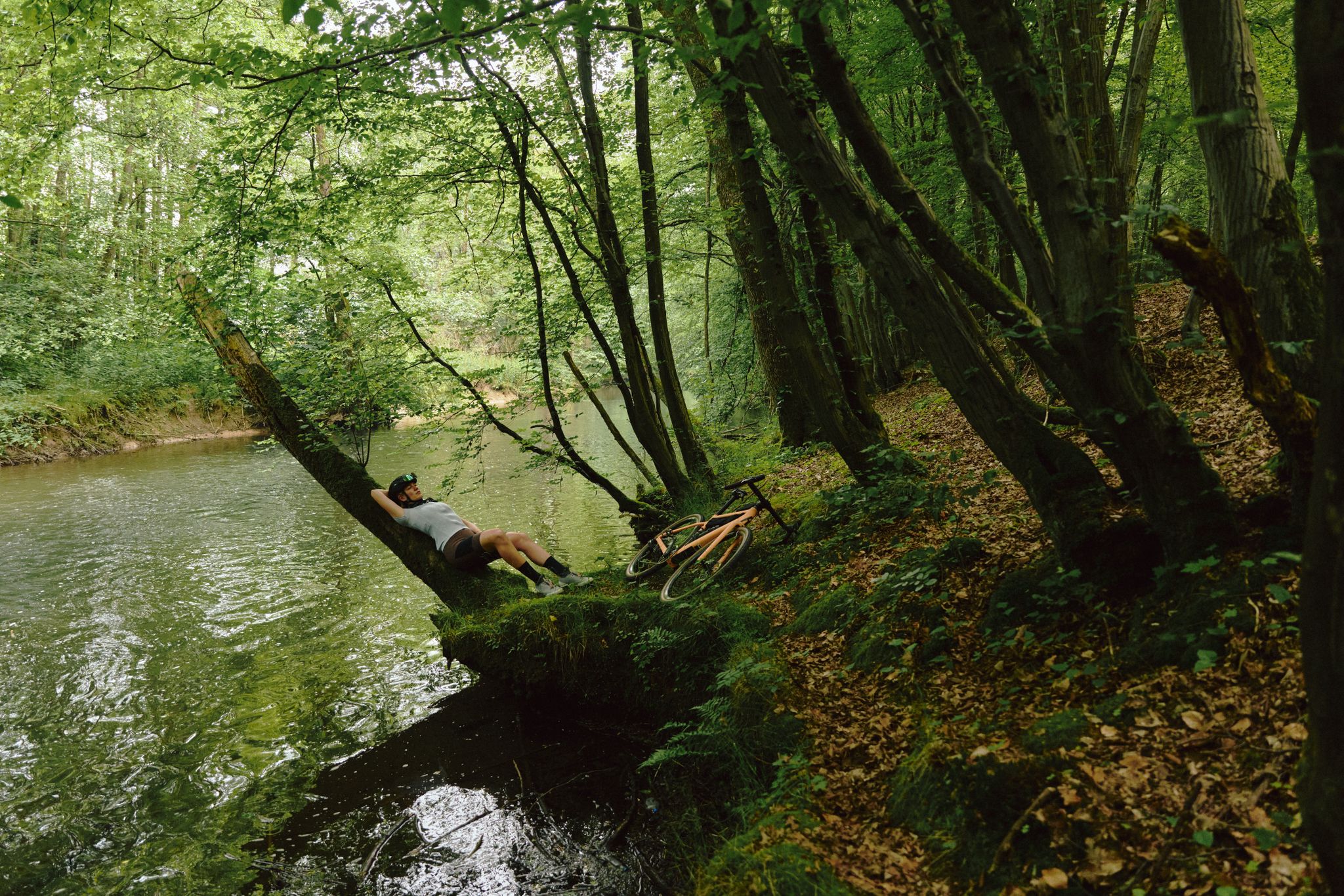
Gravel biking for all – NRW gravel paradise
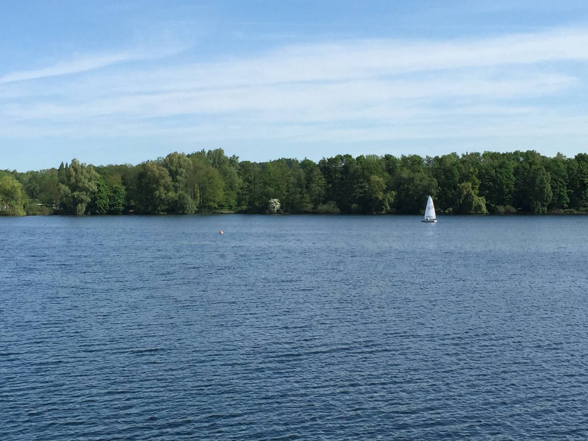
The most beautiful swimming lakes in North Rhine-Westphalia
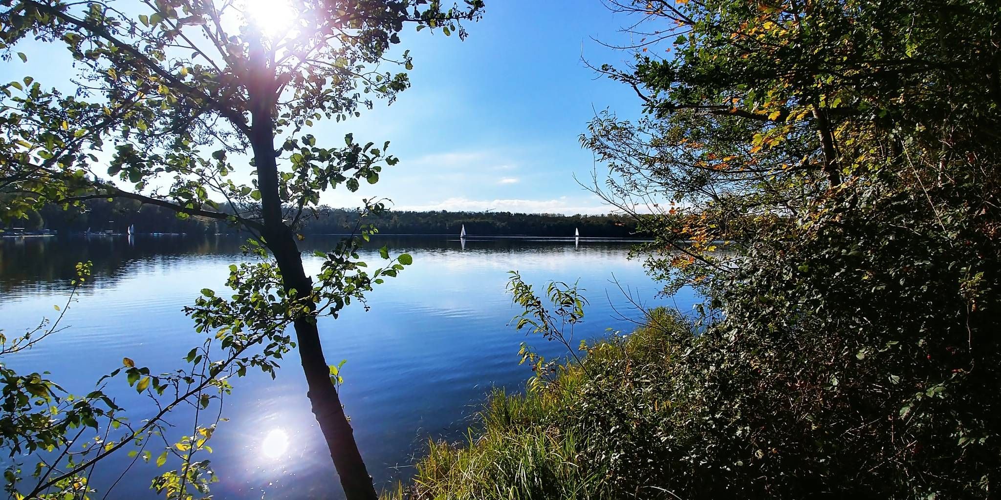
The most beautiful swimming spots around Cologne and Bonn
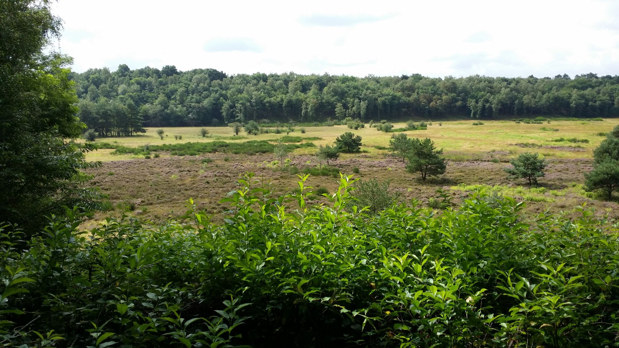
Audiotouren im DBU-Naturerbe Wahner Heide
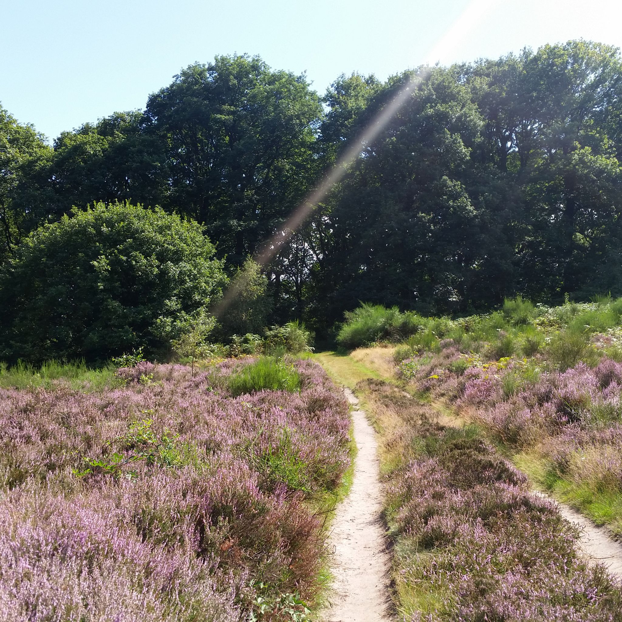
Hiking around Troisdorf
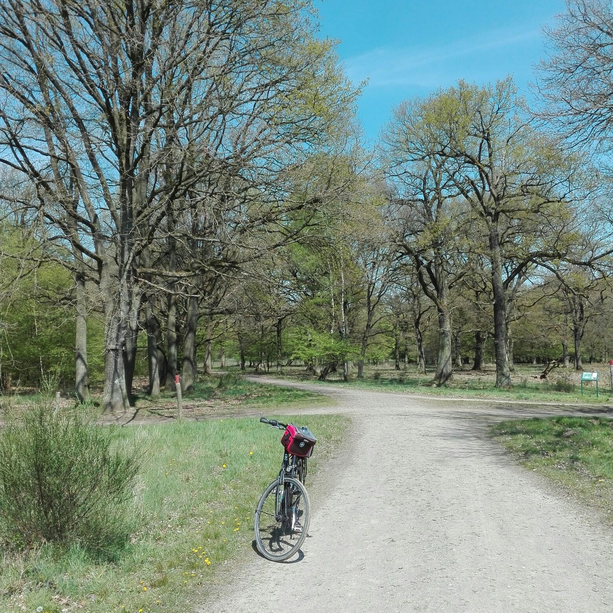
Cycling around Troisdorf
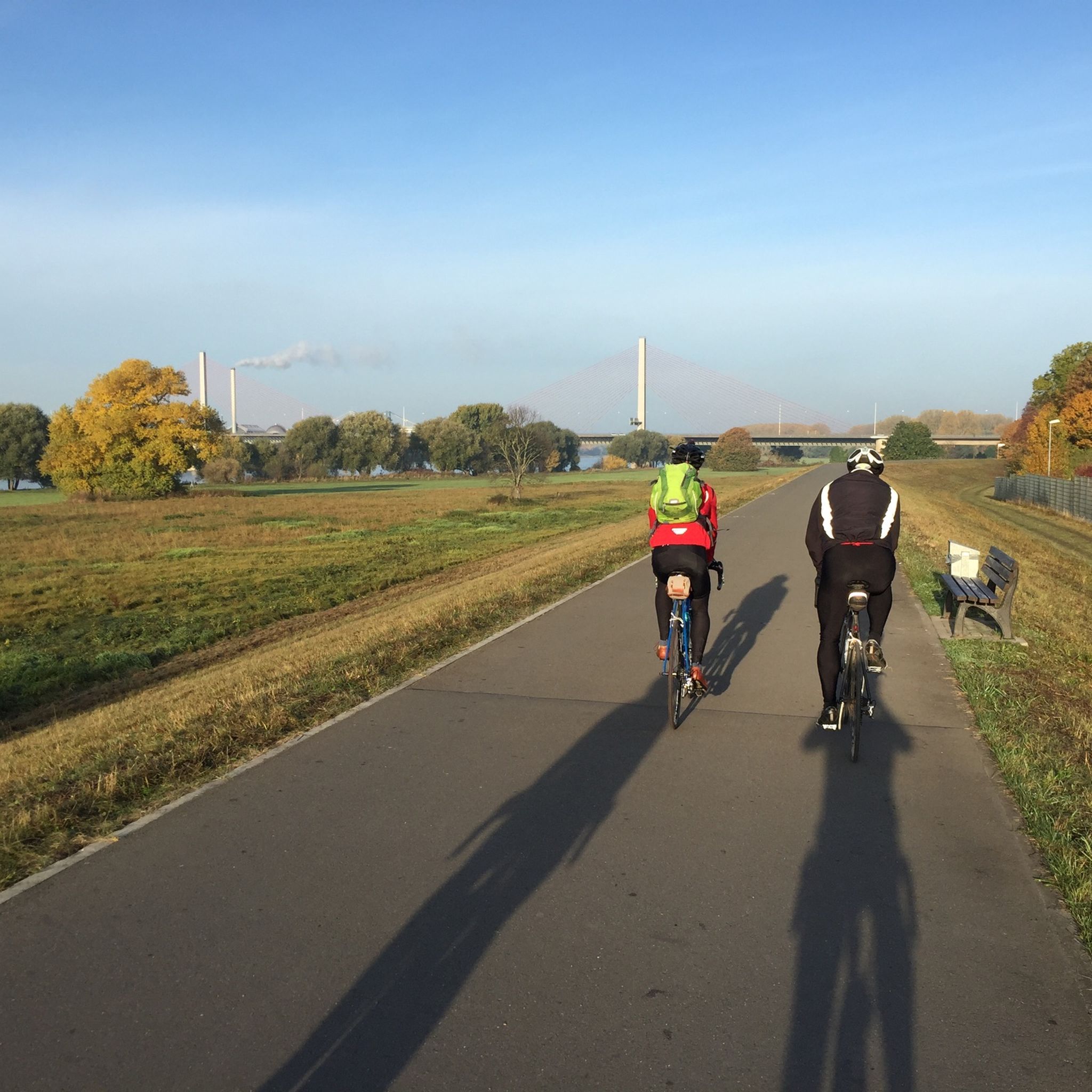
Road Cycling Routes around Troisdorf
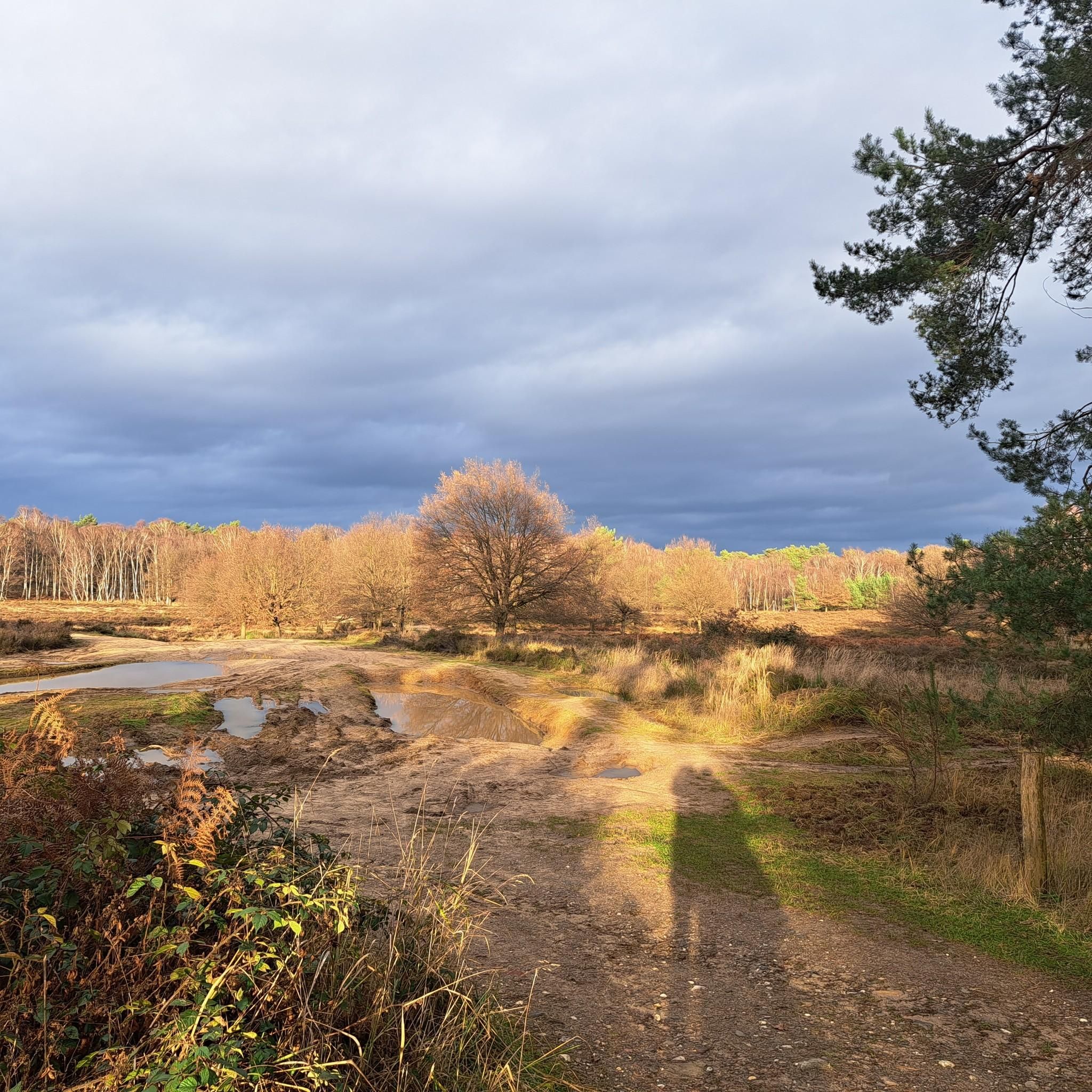
Running Trails around Troisdorf
MTB Trails around Troisdorf
Gravel biking around Troisdorf
Other adventures around Troisdorf


Tips from the Community

Since the milestone is now quite overgrown, it is not discovered at first glance. It is located opposite the stairs on the other side of the path.
1
0

Of course, hikers can find information in advance on relevant websites, for example with the following link to stage 12, which – comparatively short at just under 14 kilometers – leads from Hennef to Stadt Blankenberg (despite being named 'Stadt', it is a district of Hennef) =>> https://www.bergisches-wanderland.de/bergischer-weg/etappen-des-bergischen-weges/etappe-12-von-hennef-nach-stadt-blankenberg-137-km The route description reads as follows: "This stage is full of views, offering new perspectives into the valleys of Bröl and Sieg and, with good visibility, allowing you to discover the Siebengebirge and the Eifel on the horizon. For this, however, some climbs have to be overcome on the comfortable forest paths and dreamlike rocky trails. The school where the idea for the first youth hostel was born, the half-timbered village of Auel and the medieval town of Blankenberg also ensure that there is no monotony in terms of culture and appearance."
0
0

The Sülz River flows powerfully through Hoffnungsthal. This tributary of the Agger, approximately 25 kilometers long, significantly shapes not only the townscape but also the surrounding landscape. Densely vegetated banks and open green spaces line the river. During heavy rainfall, the Sülz often swells rapidly, flooding the areas it surrounds.
1
0
The Kupfersiefer Valley near Rösrath is a protected landscape area that perfectly showcases the diversity of the Bergisches Land region's valleys. Here, the stream meanders naturally for extended stretches, accompanied by damp meadows, old groves, and wooded slopes. The valley provides a habitat for numerous animal and plant species. As you walk through this approximately 65-hectare nature reserve, you can enjoy peace and quiet far removed from the hustle and bustle of everyday life.
2
0

Eulenbroich Castle was built around 1200 as a moated castle and is located in the Sülz river valley, very close to the center of Rösrath. Over the centuries, the building has served many different purposes: as a grand bourgeois villa, as the mayor's residence, and as a retirement home. Since 2003, the Eulenbroich Castle Cultural Association has managed the castle. Today, Eulenbroich Castle is open to the public for concerts, corporate events, markets, seminars, conferences, weddings, communion celebrations, and birthday parties.
0
0


At Hauptstraße 310-312 in Rösrath, you can view the historic site of the Reusch Villas (exterior only). The Karl Reusch Villa (built in 1896) and the Kurt Reusch Villa (built in 1894) stand together in a large English-style park with mature trees. These two villas are among a total of four villas owned by the Reusch brothers. The other pink villa can still be admired on "Am Hammer," a street branching off the main street.
1
0

A beautiful little river that, together with the typical Bergisches village of Hoffnungsthal, creates a great backdrop!
0
0
Frequently Asked Questions
What kind of terrain can I expect on mountaineering routes around Troisdorf?
The routes around Troisdorf are characterized by diverse landscapes, including extensive nature reserves like the Wahner Heide, riverine environments along the Sieg, and forested hills. While not traditional technical mountaineering, you'll find demanding hiking and trail walking experiences through heathlands, dense forests, moorlands, and wetlands. The proximity to the Siebengebirge also offers more strenuous routes with significant elevation gains.
Are there easy routes suitable for beginners or families?
Yes, Troisdorf offers several easy routes perfect for beginners or families. For example, the Sülz Riverside Path – Bridge Over the Sülz loop from Rösrath is an easy 7 km path offering tranquil riverside scenery. The region's extensive network of trails, particularly in the Wahner Heide, includes many well-marked paths suitable for all fitness levels and often designed to be family-friendly.
Can I find circular routes in the Troisdorf area?
Absolutely. Many of the routes around Troisdorf are circular, allowing you to start and end at the same point. Examples include the moderate Kupfersiefer Talweg – Kupfersiefer Mill loop from Rösrath, which explores a scenic brook valley, and the easy Sülz Riverside Path – Bridge Over the Sülz loop from Rösrath.
Are there any routes that offer scenic viewpoints or interesting landmarks?
Yes, several routes provide scenic views and pass by interesting landmarks. The Franziska Shaft Headframe – View from Lüderich loop from Hoffnungsthal leads through varied terrain with historical points of interest. You can also explore highlights like the Wooden Bridge Over the Heimbach or the Rheinblick Shelter and Stone Circle, which offer picturesque spots along the way.
What are some longer or more challenging routes available?
For those seeking a longer or more challenging experience, the Franziska Shaft Headframe – View from Lüderich loop from Hoffnungsthal is a moderate 12.3 km trail that takes about 3 hours 25 minutes. The Allner Castle – Bistro-Café Zur Linde loop from Happerschoß is another moderate option, covering 10 km with notable elevation changes.
Are dogs allowed on the trails around Troisdorf?
Many trails in the Troisdorf region, especially within the Wahner Heide Nature Reserve and along the Sieg Valley, are dog-friendly. It's generally recommended to keep dogs on a leash, particularly in nature conservation areas, to protect wildlife. Always check local signage for specific rules.
Are there places to eat or have a coffee along the routes?
Yes, some routes pass by or are close to places where you can grab a bite or a coffee. For instance, the Allner Castle – Bistro-Café Zur Linde loop from Happerschoß suggests a stop at a bistro-café. You can also find huts and restaurants like Schmitzebud or Jupp Willms Hut in the wider area, which are great for refreshments.
What is the best time of year to explore the trails in Troisdorf?
The trails around Troisdorf are enjoyable year-round. Spring brings blooming heathlands and fresh greenery, while autumn offers stunning foliage, especially along the Siegauen Cycle Path. Summer is ideal for longer days, and even winter can be beautiful with crisp air, though some paths might be muddy. Always check weather conditions before heading out.
How accessible are the trailheads by public transport?
Troisdorf has good public transport connections, and many trailheads are accessible by bus or train. The region is well-integrated into the local transport network, making it possible to reach starting points for routes in areas like Rösrath or Hoffnungsthal without a car. It's advisable to check specific route starting points and local transport schedules for detailed planning.
What kind of wildlife can I expect to see in the nature reserves?
The nature reserves around Troisdorf, particularly the Wahner Heide, are rich in biodiversity. You might spot various bird species, including rare ones, and observe red deer and sika deer in natural enclosures near Burg Wissem. The diverse habitats of heathlands, forests, and wetlands support a wide array of flora and fauna, making it a great spot for wildlife observation.
Are there any specific safety considerations for these routes?
The routes around Troisdorf are generally well-maintained hiking trails. However, it's always wise to wear appropriate footwear, carry enough water, and check the weather forecast. While not technical mountaineering, some paths can be uneven or muddy, especially after rain. Stick to marked trails and be mindful of local wildlife.
Most popular routes around Troisdorf
Most popular attractions around Troisdorf

Get inspired with the komoot mobile app


Explore more
Browse the best Mountain Hikes & Routes in other regions.
