The best mountain hikes around Greding
5.0
(1)
11
hikers
2
hikes
Mountaineering routes around Greding are situated at the edge of the Altmühltal Nature Park and the Franconian Jura, offering a landscape characterized by rolling hills and tranquil river valleys. The region features distinctive rock formations and calcareous sinter terraces, providing varied terrain for outdoor pursuits. Elevation changes are present across the routes, contributing to the physical challenge. This area is well-suited for individuals seeking to build fitness and experience diverse natural environments.
Best mountaineering routes around Greding
- The most popular…
Last updated: August 14, 2026
5.0
(1)
6
hikers
Moderate mountaineering route. Good fitness required. Mostly accessible paths. Sure-footedness required.
Our route recommendations are based on thousands of hikes, rides, and runs completed by other people on komoot.
Start today with a free account
Your next adventure awaits.
Login or Signup
Popular around Greding
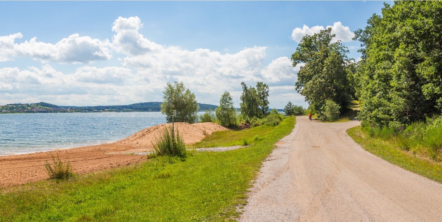
The Franconian Water Bike Path – 8 days of creeks, lakes & rivers
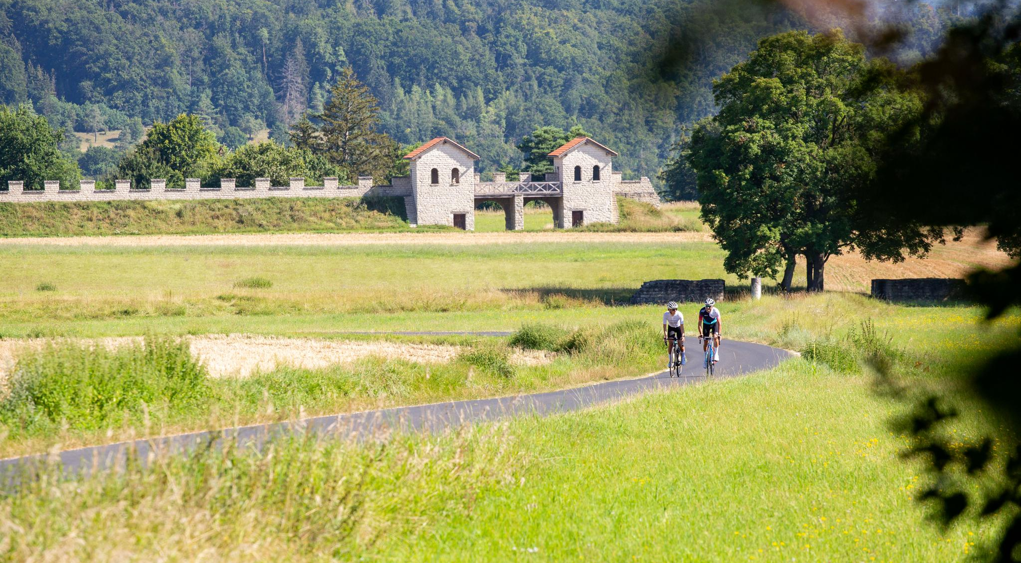
Saddle joy & Jura magic – road cycling in the Altmühltal
Cycling through the Nuremberg metropolitan region – nature & enjoyment

Nature, the outdoors and adventure – hiking through the VGN's nature parks
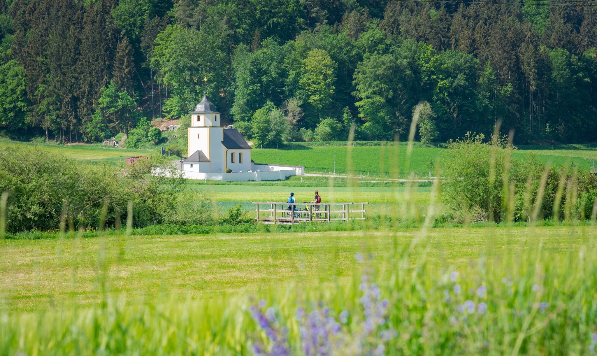
A cycling paradise in Bavaria – Altmühl Valley Nature Park
Catch the bus and train into nature – VGN Leisure Tips 2023
Castles, legends & dreamlike panoramas in the Altmühltal Nature Park
VGN Summer Challenge 2020 – hike with the VGN and win prizes

Culinary delights on the road – VGN Pleasure Tours
The most beautiful tours for summer and autumn – hiking paradise Franconia
Other adventures around Greding


Tips from the Community

Highly recommended on sunny days, far-reaching view as far as Gungolding
0
0

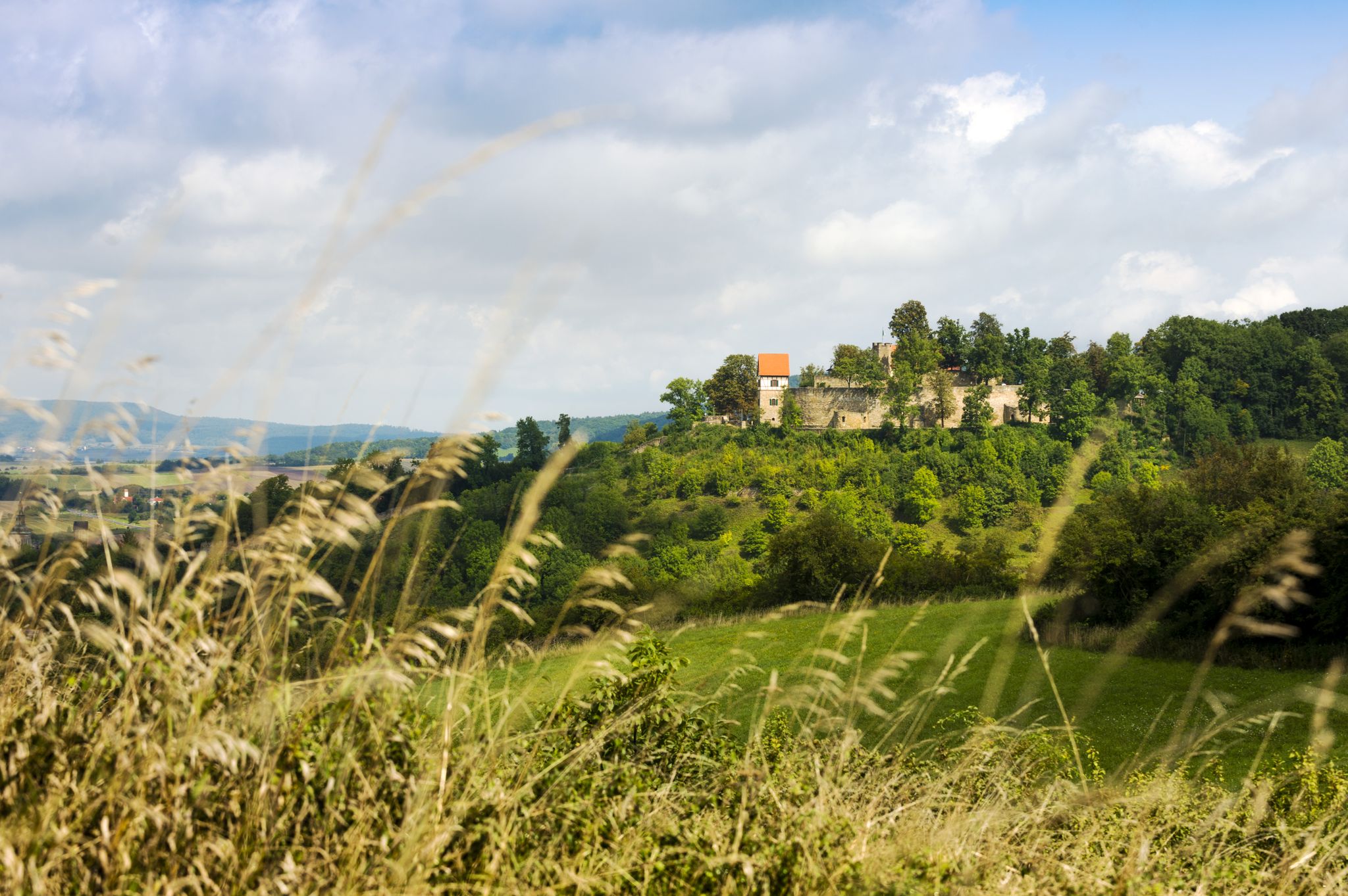
Near the well-known hotspot of the castle ruins high above the town of Arnsberg, there is a somewhat hidden viewpoint. The open slope with a view of the Altmühl Valley is easily visible from the narrow paved road leading to the castle ruins. Otherwise, there are no other signs or directions. A relatively visible, grassy trail leads slightly downhill to the slope's edge. From there, you have a magnificent view of the Altmühl Valley, west toward Gungolding, below Arnsberg, and east toward Regelmannsbrunn and the Altmühl meadows. You are also in impressive proximity to the striking dolomite cliffs on which Arnsberg Castle was once built. ATTENTION! This viewpoint is not official. Enter at your own risk! There is a danger of falling! The viewpoint directly at the ruins, with its railings and benches, is safer.
0
0

Beautiful view down into the valley.
0
1

The southern viewing rock Michelsberg in the Altmühltal offers breathtaking panoramic views of the surrounding landscape and is a popular place for nature lovers and hikers.
0
1

From the Frlskante above Arnsberg there is a great view down to the town
0
0
The view sweeps up the Altmühltal.
0
1


Beautiful view of Arnsberg and the Altmühltal. There is also a bench to sit on.
0
0
Frequently Asked Questions
What kind of terrain can I expect on mountaineering routes around Greding?
The routes in Greding traverse a varied landscape characterized by rolling hills, tranquil river valleys, and distinctive rock formations. You'll find yourself in the Altmühltal Nature Park and the Franconian Jura, with elevation changes that add to the physical challenge. Features like the unique Kaisinger Travertine Terraces also offer interesting geological sights.
Are there any circular mountaineering routes in the Greding area?
Yes, several routes are designed as loops. For example, the East ascent to Michelsberg – Kipfenberg Castle loop from Landkreis Eichstätt is a 11.2 km circular trail. Another option is the Roman bridge Kinding – Rock Arch Unteremmendorf loop from Kinding, which is 10.1 km long.
What are some notable natural features or landmarks to look out for?
The region is rich in natural beauty and historical sites. You can explore the unique calcareous sinter terraces of the Kaisinger Travertine Terraces. The routes also offer views of the Schwarzach and Agbach river valleys. For historical landmarks, you might encounter views of Kipfenberg Castle or the Arnsberg Castle ruins, which provide panoramic vistas of the Altmühl Valley.
What is the typical difficulty level for mountaineering routes in Greding?
The mountaineering routes around Greding are generally considered moderate. They involve significant elevation gain and varied terrain, suitable for those looking to build fitness. While not technically challenging in an alpine sense, some trails require sure-footedness and sturdy shoes due to the distinctive rock formations and varied topography.
Are there any routes that pass by lakes or water features?
While the routes themselves primarily focus on hills and valleys, the broader region around Greding features several beautiful lakes. You might consider visiting highlights like Kratzmühlsee North Shore or Bechthaler Pond, which are popular spots for relaxation and recreation near the hiking areas.
What kind of views can I expect on these routes?
The routes often provide breathtaking views of the surrounding hills and forests, especially from higher points like the Michelsberg. You can also expect scenic vistas over the tranquil river valleys of the Schwarzach and Agbach. The changing seasons offer different visual experiences, from lush summer greens to vibrant autumn colors.
How many mountaineering routes are available in Greding?
There are a number of mountaineering routes available in the Greding area, with komoot featuring several highly-rated options. Currently, there are at least two distinct mountaineering routes detailed in this guide, all of which are rated as moderate in difficulty.
Are there any routes that explore caves or unique rock formations?
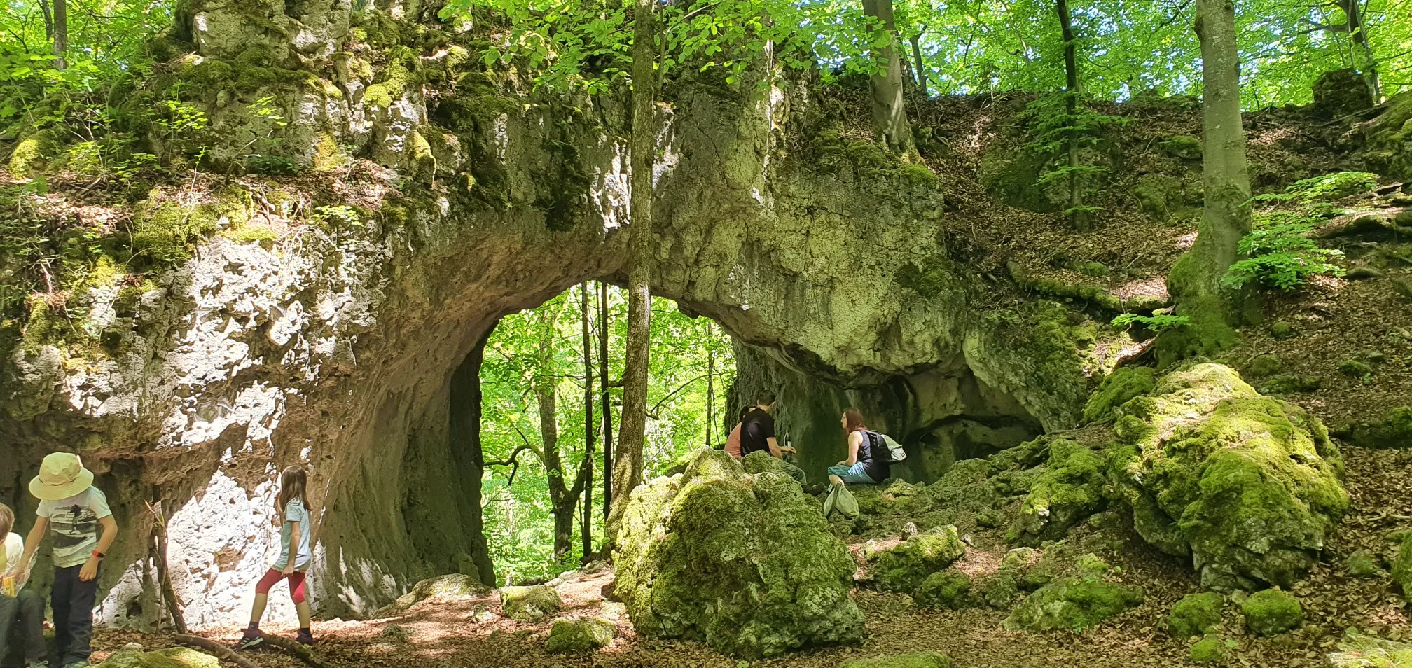
Yes, the region is known for its distinctive rock formations. The Rock Arch Unteremmendorf – Kindinger Klause Cave loop from Unteremmendorf specifically leads through areas with such features, including the Kindinger Klause Cave, offering a unique geological experience.
What is the typical duration for these mountaineering routes?
The duration varies depending on the route and your pace. For instance, the East ascent to Michelsberg – Kipfenberg Castle loop from Landkreis Eichstätt typically takes around 3 hours 24 minutes to complete, while the Rock Arch Unteremmendorf – Kindinger Klause Cave loop from Unteremmendorf can be completed in about 2 hours 31 minutes.
What do other mountaineers enjoy about the routes around Greding?
Mountaineers often appreciate the diverse natural environments, from rolling hills to river valleys and unique rock formations. The routes are well-regarded for their scenic beauty and the opportunity to experience the Altmühltal Nature Park. Many enjoy the blend of physical challenge and natural exploration offered by these trails.
Most popular routes around Greding
Most popular attractions around Greding

Get inspired with the komoot mobile app


Explore more
Browse the best Mountain Hikes & Routes in other regions.
