The best mountain hikes around Landkreis Weimarer Land
5.0
(2)
6
hikers
3
hikes
Mountaineering around Landkreis Weimarer Land is characterized by gently rolling hills, expansive valleys, and lush mixed forests. While traditional technical mountaineering is not prevalent, the region offers numerous challenging hiking routes that provide significant elevation changes and panoramic views. The landscape includes the scenic Ilm Valley and the Riechheimer Berg, the highest elevation in the southern district at 511 meters above sea level. These features create varied terrain suitable for demanding climbs and long-distance trails.
Best mountaineering routes around Landkreis…
Last updated: July 4, 2026
5.0
(1)
2
hikers
7.90km
02:28
280m
280m
Moderate mountaineering route. Good fitness required. Easily-accessible paths. Suitable for all skill levels.
5.0
(1)
2
hikers
Hard mountaineering route. Good fitness required. Sure-footedness, sturdy shoes and alpine experience required.

Sign up for free
2
hikers
10.4km
03:10
310m
310m
Moderate mountaineering route. Good fitness required. Mostly accessible paths. Sure-footedness required.
Our route recommendations are based on thousands of hikes, rides, and runs completed by other people on komoot.
Start today with a free account
Your next adventure awaits.
Login or Signup
Popular around Landkreis Weimarer Land

Around Thuringia — 7 stages through Germany's green heart
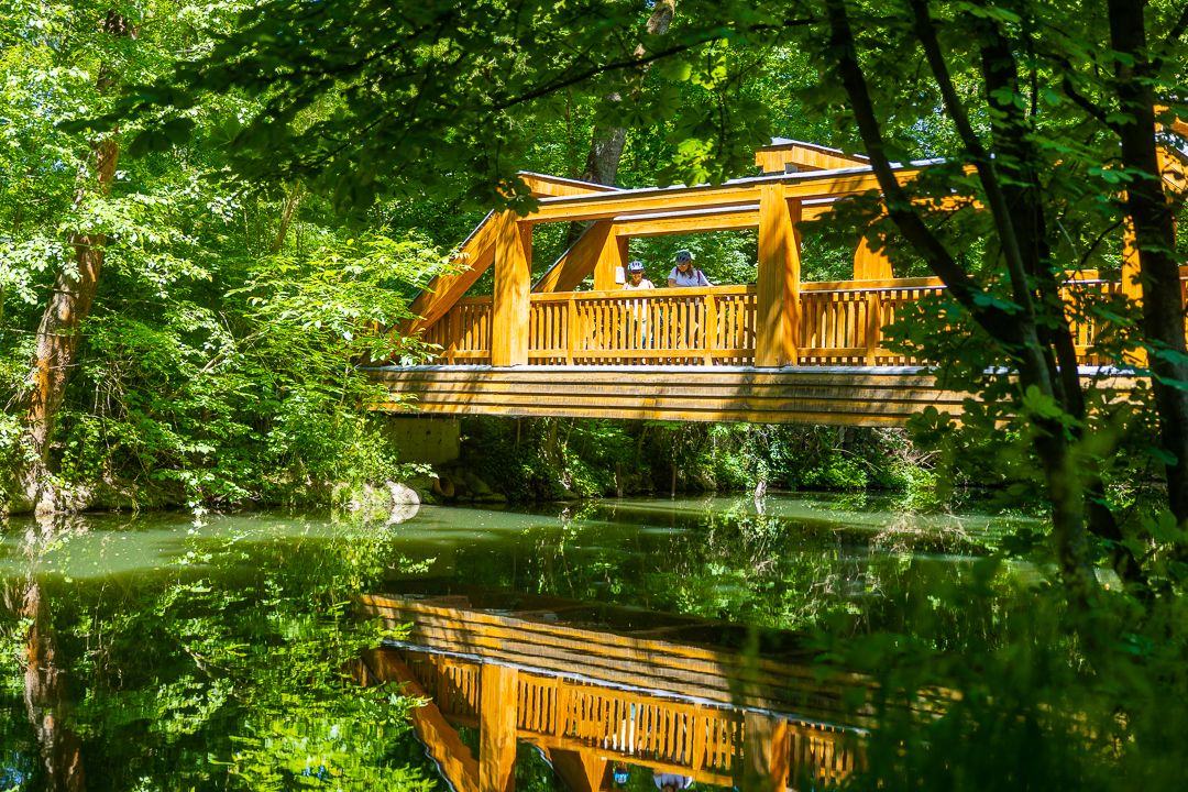
Ilm Valley cycle path – 4 stages through Thuringia
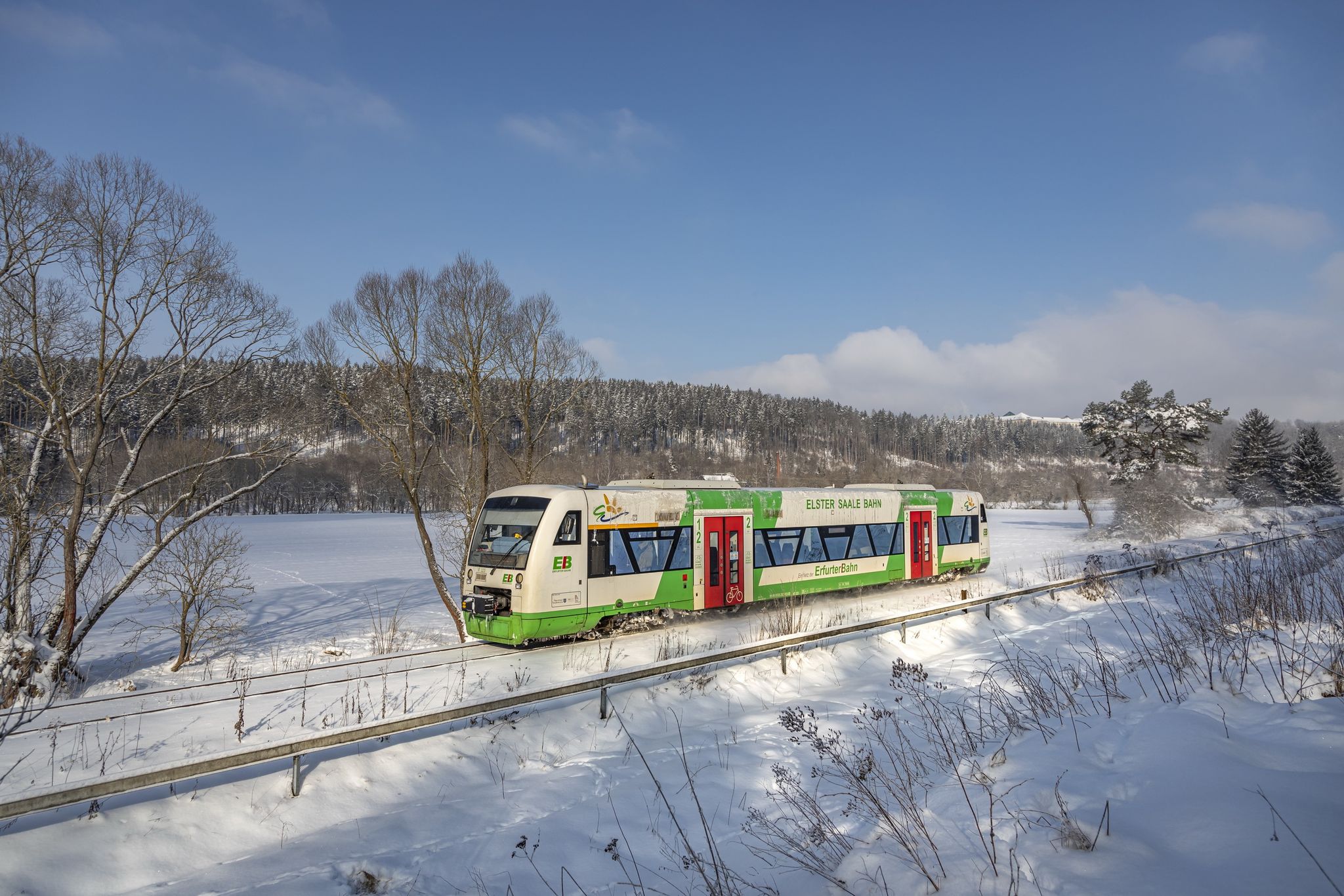
Discover Thuringia – winter hiking with the Erfurter Bahn
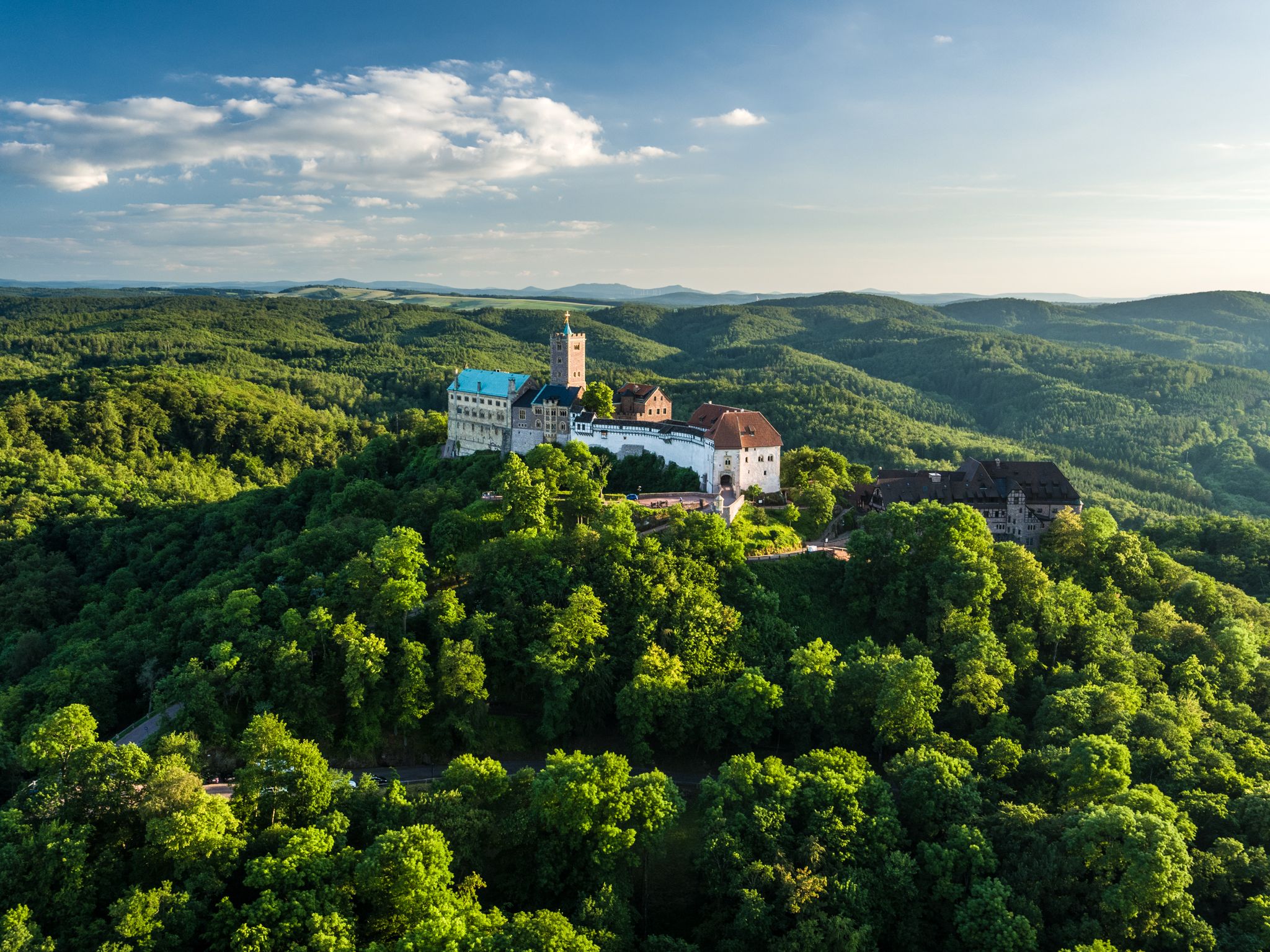
Thuringia CultureRoutes: hiking through history and nature
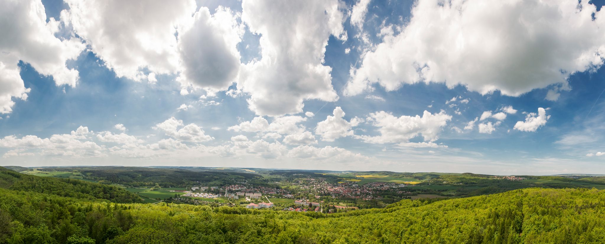
Beautifully varied hikes around Bad Berka
Thüringens Kulturperlen – The Städtekette from Eisenach to Altenburg
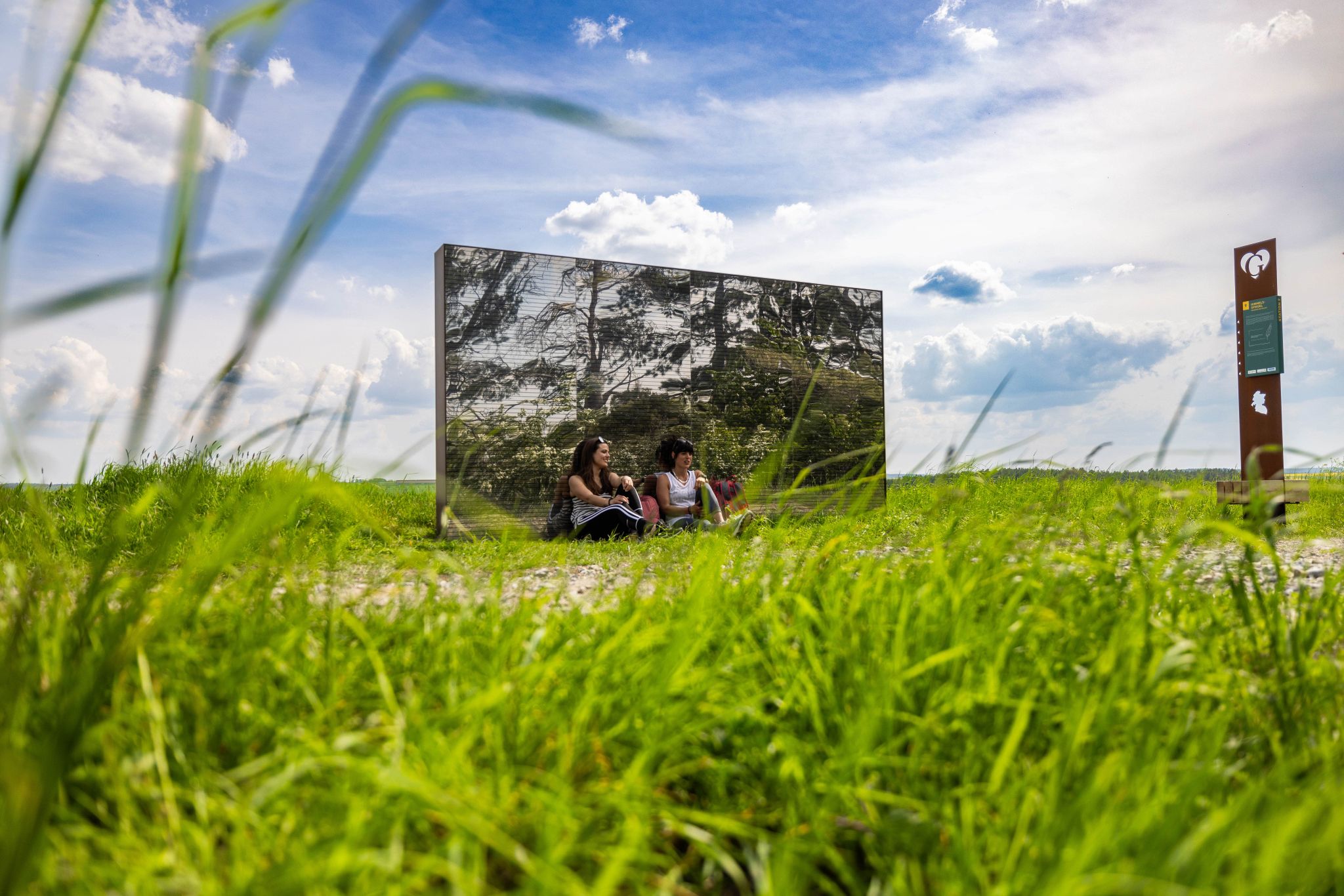
On the Goethe Adventure Trail through Germany’s Weimarer Land
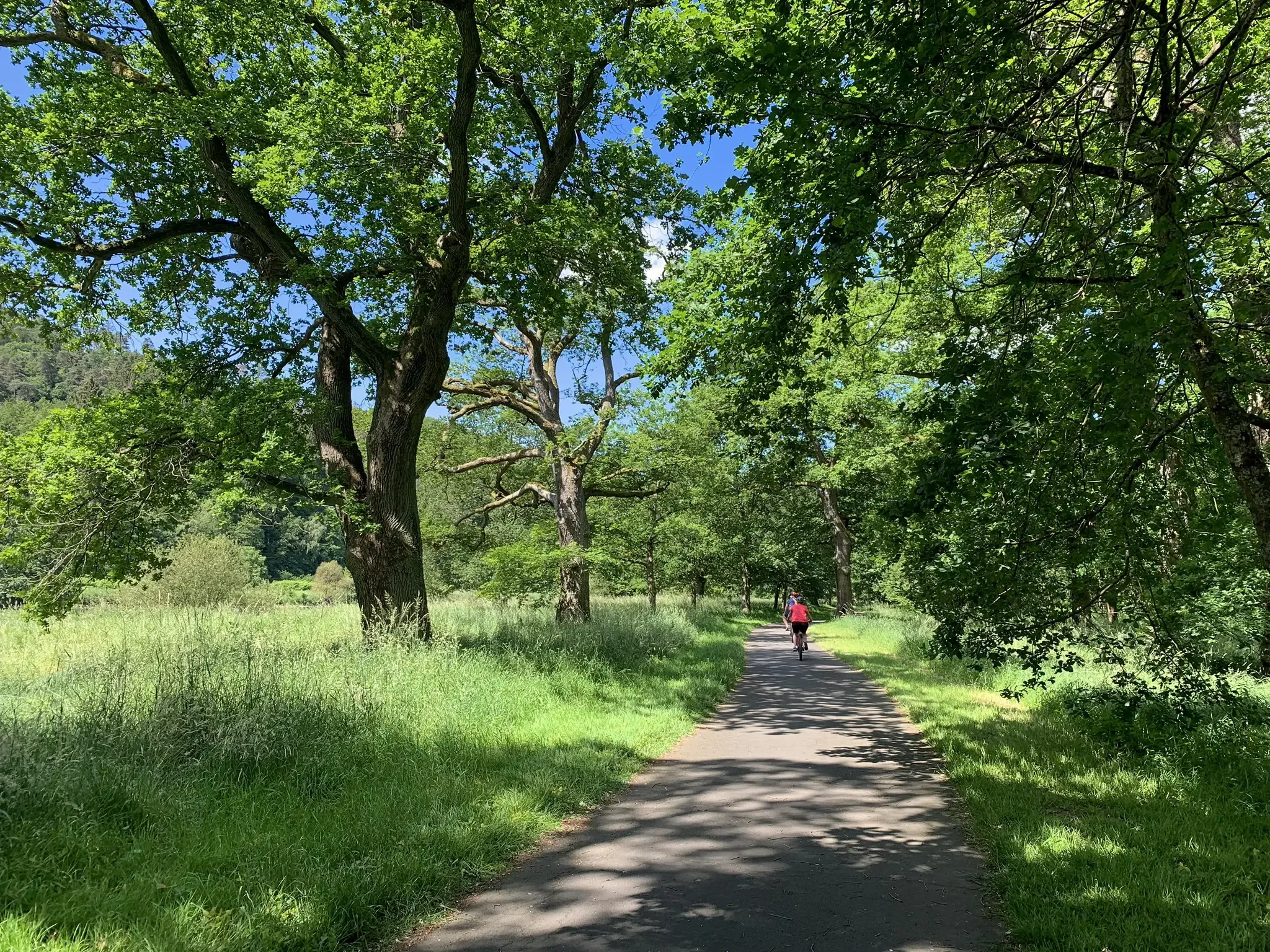
D-Route 4: Mittelland Route
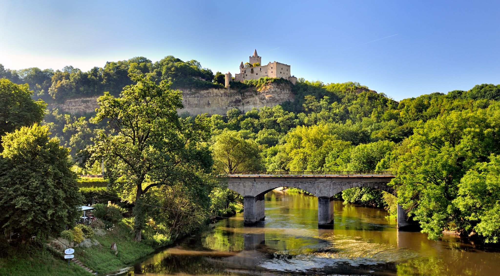
The 10 most beautiful hikes between Germany’s Saale and Unstrut rivers
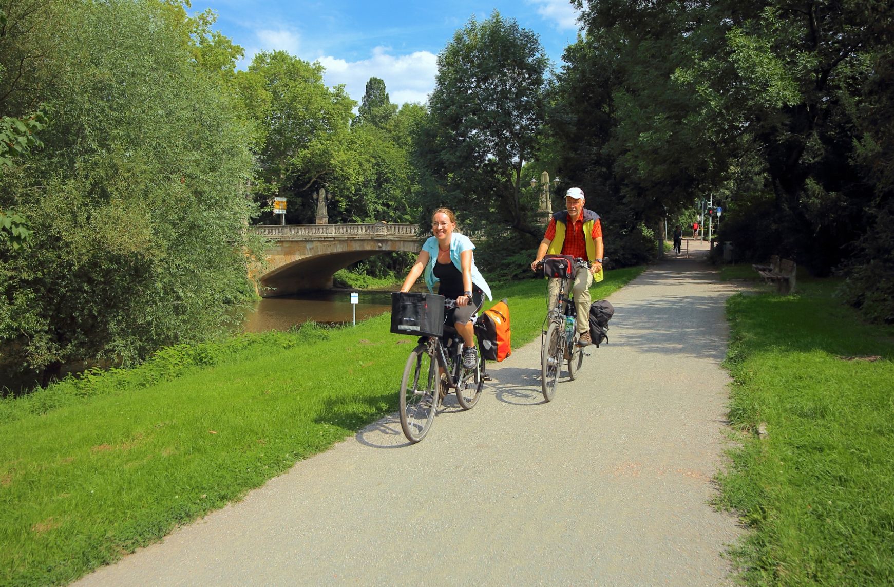
Ilmtal and Unstrut cycle paths – discover Thuringia in Germany by bike
Other adventures around Landkreis Weimarer Land


Tips from the Community

Abandoned site of the Kirchberg Royal Palace From the southern path, there are no steps to reach this site; from the northern path, a short, steep staircase leads up to Marienblick. Only the old cistern remains of the royal palace; otherwise, only uneven ground surfaces remain, which, with a bit of imagination, might reveal some of the original structure.
1
0
The Greifberg Castle was located further west on the ridge of the Hausberg. Here, it was the Imperial Palace of Kirchberg.
0
0

Just sit down and enjoy the view
0
0
Old stone cross on the Wöllmisse... That's what I named the highlight when I created it. I have no idea what idiots here at Komoot keep thinking they have to rename highlights to completely meaningless names???
1
0

First mentioned in the early 14th century, the Teufelslöcher (Devil's Holes) are among the oldest documented caves in Germany. These are karst caves that have since been sealed. Several benches are located at the Teufelslöcher, and Jena's local history trail begins here, leading from here across the central Kernberg horizontal. You can find more information here: https://www.entdecke-jena.de/jena/teufelsloecher.htm.
3
0
The monument is located between the sanctuary and the Fuchsturm.
10
0
The historic Fuchsturm House was built by the Fuchsturm members in 1868 on shell limestone and expanded several times. The gatehouse extension is showing cracks, and the road leading from the gate to the tower forecourt urgently needs to be reinforced. Bored piles will stabilize the slope, the gatehouse will be given a concrete anchor, and the road will be resurfaced. The project sponsor is the Fuchsturm Society. Work is in full swing, and the reinforcements are making progress, marking another step toward preserving one of Jena's "7 Wonders" and the beloved tourist restaurant on the local hill.
10
0

When the weather is good, you can see everything from the city center to Dornburg. Simply top
0
0
Frequently Asked Questions
What kind of terrain can I expect on mountaineering routes in Landkreis Weimarer Land?
Mountaineering in Landkreis Weimarer Land primarily involves challenging hikes through gently rolling hills, expansive valleys, and lush mixed forests. While not traditional technical mountaineering, routes often feature significant elevation changes, offering panoramic views. The landscape includes the scenic Ilm Valley and the prominent Riechheimer Berg, the highest elevation in the southern district at 511 meters above sea level.
Are there any family-friendly options for exploring the region's elevated trails?
While the guide focuses on more demanding routes, the broader Landkreis Weimarer Land region offers many trails suitable for families. For a different kind of climbing experience, the Riechheimer Berg Tower and Inn area provides accessible paths and a summit with a Bismarck Monument, offering great views for all ages.
Can I bring my dog on the mountaineering routes in Landkreis Weimarer Land?
Many trails in Landkreis Weimarer Land are dog-friendly, but it's always recommended to check specific route details or local regulations before heading out. Generally, the natural, forested paths are well-suited for walks with your canine companion, provided they are kept on a leash where required.
What are some notable viewpoints or landmarks I can discover along these routes?
The region is rich in viewpoints and historical landmarks. You can enjoy impressive vistas from the Fuchsturm on the route Viewpoint at the Fuchsturm – Fuchsturm, Jena loop from Jena Paradies. Other significant points include the Paulinenturm and the Carolinenturm on Kötsch, which are part of the quality-sealed Thuringian Three Towers Trail.
Are there any circular mountaineering routes available?
Yes, several routes in the region are designed as loops, allowing you to start and end at the same point. For example, the Viewpoint at the Fuchsturm – Fuchsturm, Jena loop from Jena Paradies is a moderate 7.9 km circular trail. Another option is the View of Jena from Galgenberg loop from Zwätzen, which offers varied terrain over 10.4 km.
What is the best time of year to go mountaineering in Landkreis Weimarer Land?
The 'Tuscany of the East' nickname suggests pleasant weather, making spring through autumn ideal for exploring. During these seasons, the mixed forests are lush, and the rolling hills offer comfortable hiking conditions. While winter can be beautiful, some paths might be challenging due to snow or ice, so always check local conditions.
How do other mountaineers rate the routes in Landkreis Weimarer Land?
The routes in Landkreis Weimarer Land are highly regarded by the komoot community, with an average score of 5.0 stars from reviews. Mountaineers often praise the varied terrain, scenic views, and the blend of natural beauty with cultural insights found along the trails.
Are there options for public transport to reach the trailheads?
While specific public transport details for each trailhead vary, the region is generally well-connected. Many trails, especially those connecting to larger towns like Weimar or Jena, are accessible via local bus or train services. It's advisable to check regional transport schedules for the specific starting point of your chosen route.
What kind of natural features can I expect to see on these trails?
The routes traverse a diverse landscape featuring gently rolling hills, expansive valleys, and dense mixed forests. You'll encounter the scenic Ilm Valley, and potentially views of the Hohenfelden Reservoir area. The region's 'Tuscany of the East' moniker highlights its picturesque, vineyard-dotted areas and beautiful vistas.
Are there any particularly challenging routes for experienced mountaineers?
Yes, for those seeking a more strenuous experience, the Bench with a view over Jena – Stone cross on the Wöllmisse loop from Kernberge und Wöllmisse bei Jena is classified as a difficult 10.3 km path. This route features significant elevation changes and expansive views, providing a good challenge.
Where can I find parking near the mountaineering trailheads?
Parking availability varies by trailhead. Many popular starting points, especially those near towns or significant attractions, offer designated parking areas. For routes like those around the Riechheimer Berg or near the Hohenfelden Reservoir, you can typically find parking facilities. It's recommended to check the specific route information on komoot for details on parking at your chosen starting point.
Beyond hiking, are there other climbing activities available in the region?
While traditional mountaineering is not prevalent, the region offers other climbing experiences. The Kletterwald Aktivpark Hohenfelden provides a climbing forest with various courses for different skill levels. Additionally, the Kletterhalle Weimar offers indoor and outdoor climbing gyms with numerous routes for top-rope and lead climbing.
Most popular routes around Landkreis Weimarer Land
Most popular attractions around Landkreis Weimarer Land

Get inspired with the komoot mobile app


Explore more
Browse the best Mountain Hikes & Routes in other regions.
