The best mountain hikes in Hute Am Seilerberg
4.0
(2)
8
hikers
4
hikes
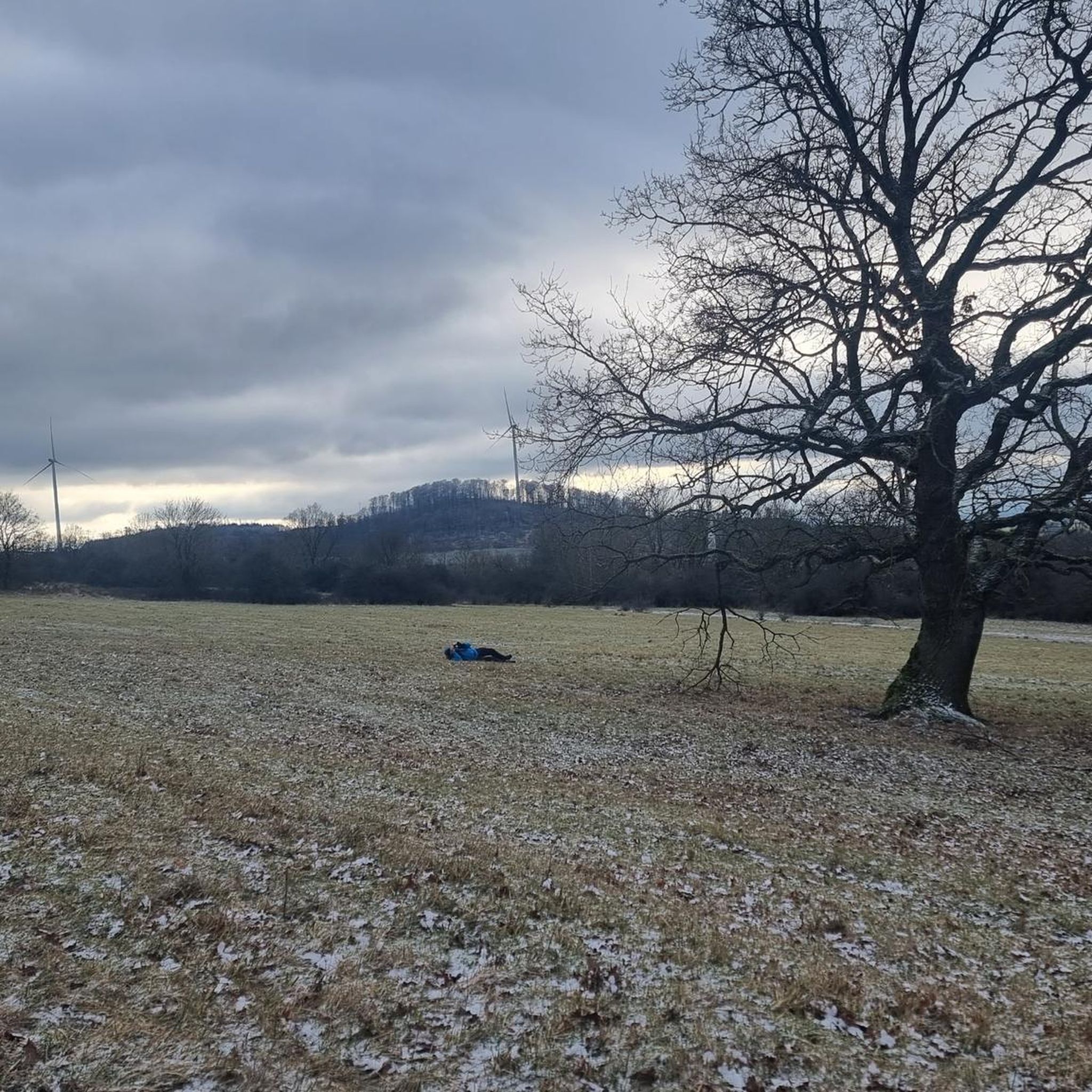
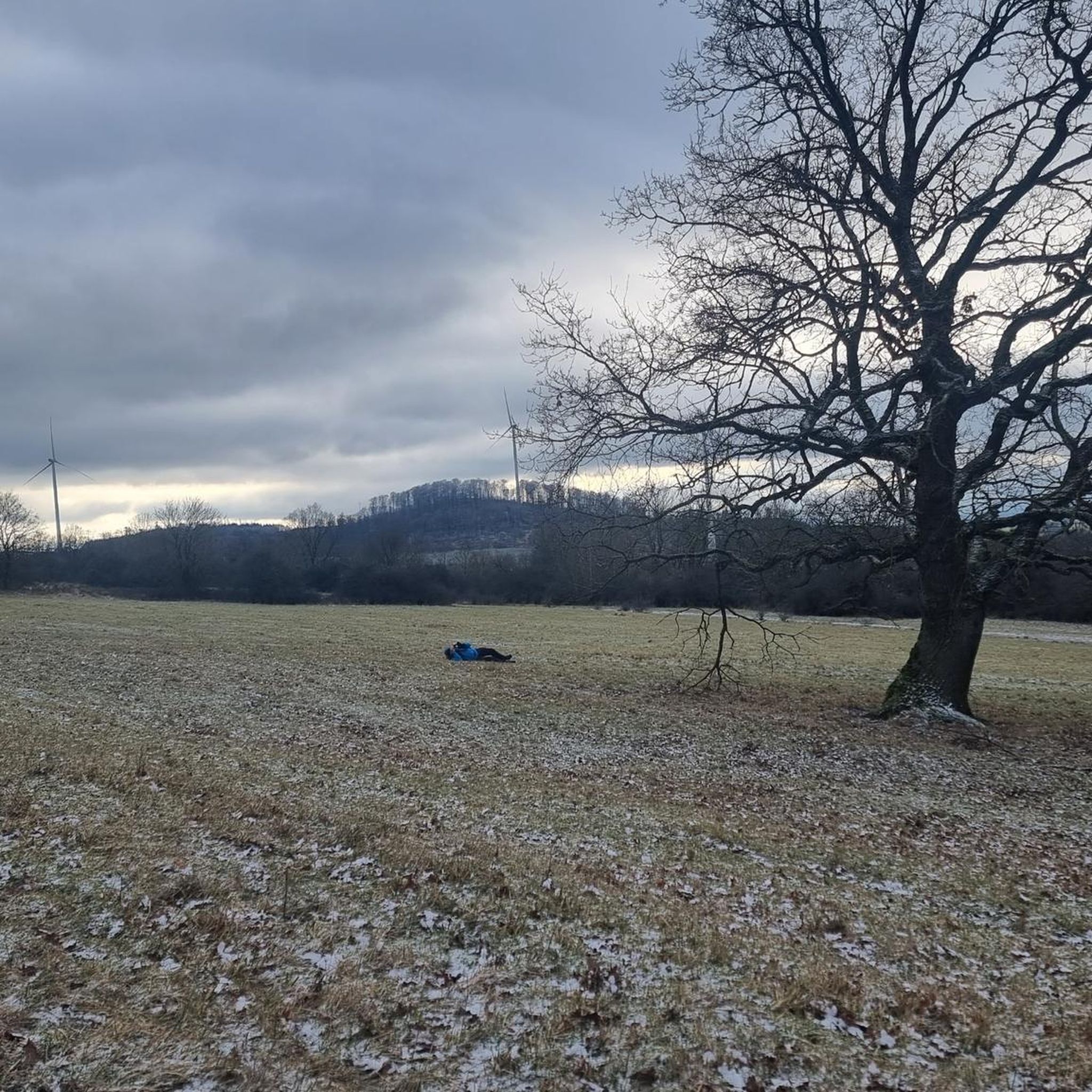
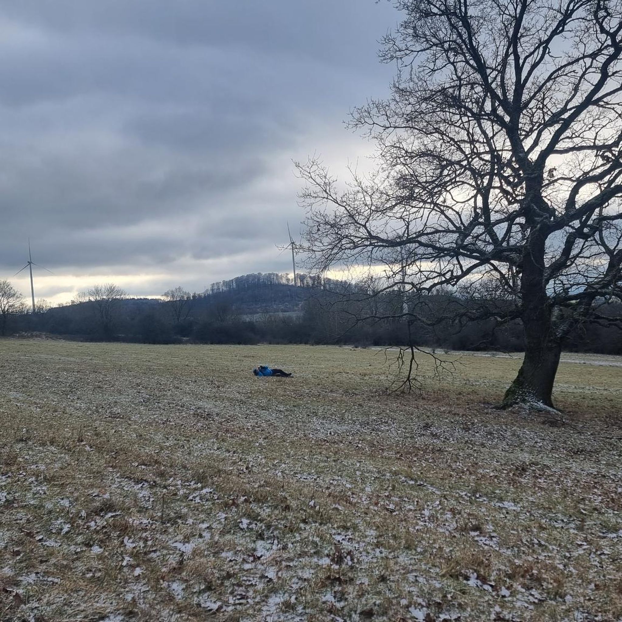
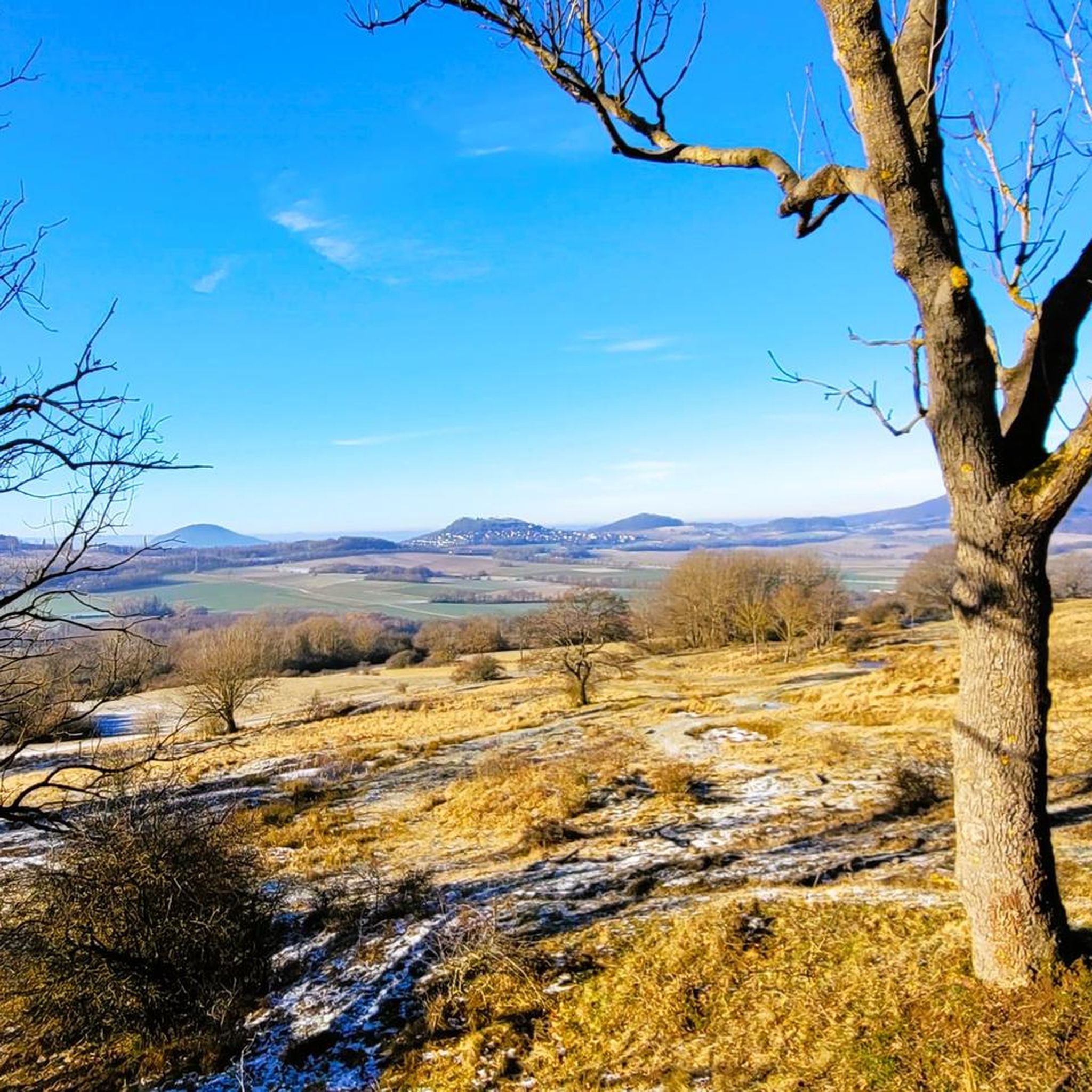
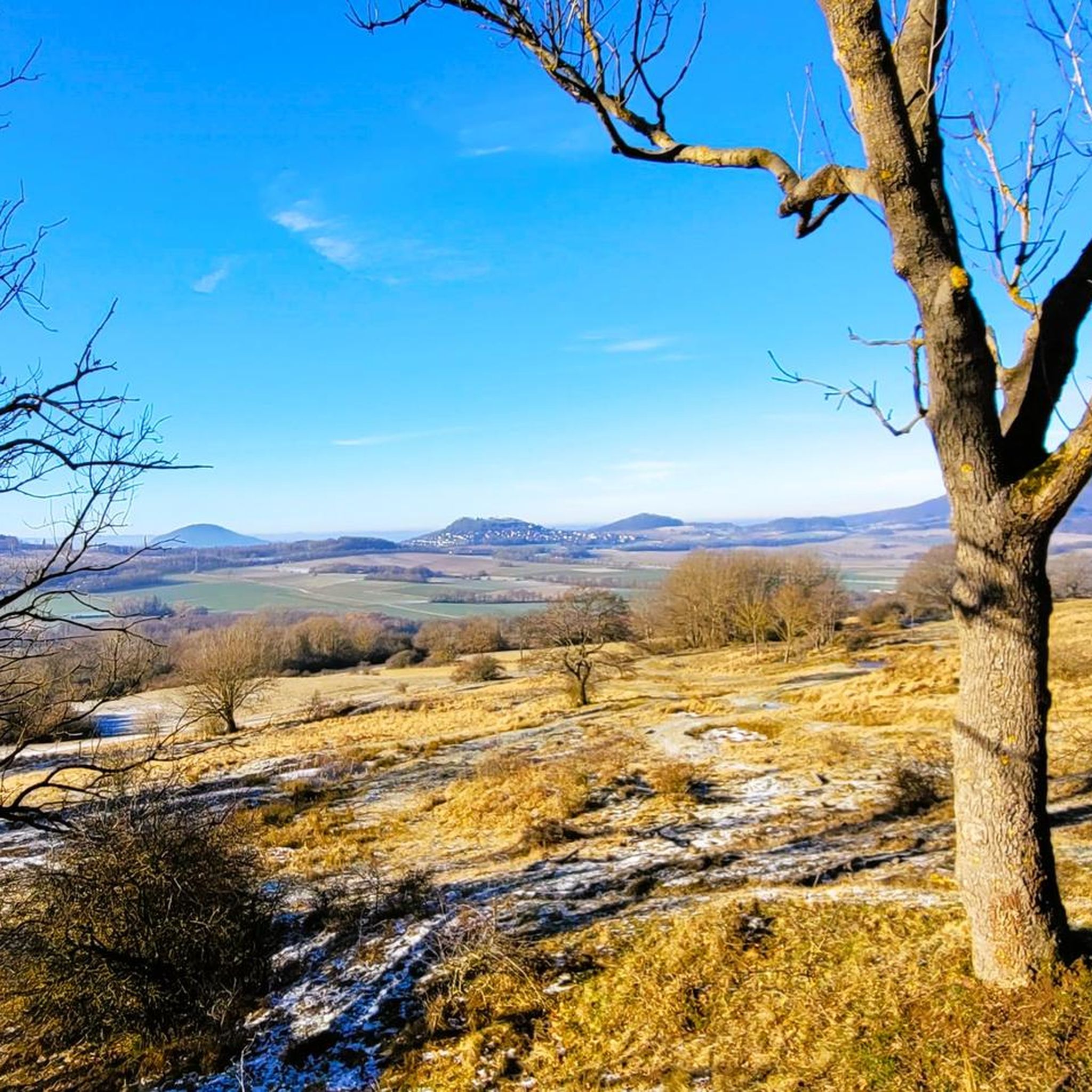
Mountaineering routes in Hute Am Seilerberg traverse a unique landscape characterized by heathland and remnants of a former military training area. The region features varied terrain, including open areas with views of Seilerberg and distant wind turbines, alongside paths that follow former concrete roads. While not offering traditional alpine challenges, the area provides opportunities for exploring a developing nature reserve with distinct natural features.
Best mountaineering routes in Hute Am Seilerberg
- The most popular mountaineering route is View from Hoher…
Last updated: July 2, 2026
1
hikers
Moderate mountaineering route. Good fitness required. Easily-accessible paths. Suitable for all skill levels.
2
hikers
3.09km
00:52
60m
60m
Easy mountaineering route. Great for any fitness level. Easily-accessible paths. Suitable for all skill levels.

Sign up for free
4.0
(2)
4
hikers
6.01km
02:00
290m
290m
Moderate mountaineering route. Good fitness required. Easily-accessible paths. Suitable for all skill levels.
1
hikers
12.9km
03:37
250m
250m
Moderate mountaineering route. Good fitness required. Easily-accessible paths. Suitable for all skill levels.
Our route recommendations are based on thousands of hikes, rides, and runs completed by other people on komoot.
Start today with a free account
Your next adventure awaits.
Login or Signup
Tips from the Community

This place offers a great view.
7
0
The Altenburg hut lies on the edge of the plateau.
8
0
It is the Wallquelle, so a spring on the rampart of the Alteburg.
8
0

Information, parking, benches, tables, spring, restrooms. Everything you need. A double highlight.
1
0
The local water comes from the "Wallquelle" located 150 m higher, a presumably medieval spring on the outer wall of the Altenburg.
2
0

At the great rest area there are also information boards with sufficient information about Habichtswaldsteig and the place where you are.
0
0

Anyone afraid of cows should avoid the Zierenberger Kuppe. There are two herds of cows there when walking through the meadows. Apparently, no one here thinks it's necessary to give warning!
1
0

The Zierenberger Viaduct, also known as the Warmetal Viaduct, was built in 1896. It spans the Warmetal Valley with the Warme River at a height of 13.9 meters over a length of 140 meters. The viaduct, consisting of eight arches, was built of natural stone, with conical piers arched over pairs of brick relief arches. The span is 15 meters. The single-track Volkmarsen-Vellmar-Obervellmar railway line runs over the viaduct. The railway bridge is a cultural monument. Source: https://bruecken.gleistrasse.de/zierenberger_viadukt.htm
2
1
Frequently Asked Questions
What kind of mountaineering experience can I expect in Hute Am Seilerberg?
Hute Am Seilerberg offers a unique outdoor experience, characterized by its heathland landscape and remnants of a former military training area. While not traditional alpine mountaineering, the routes provide opportunities to explore a developing nature reserve with varied terrain, including open areas and paths along old concrete roads. It's more suited for robust hiking and exploring the unique natural and historical features of the region.
Are there routes suitable for beginners or those looking for an easy walk?
Yes, Hute Am Seilerberg has routes suitable for various ability levels. For an easy and scenic option, consider the View of the Hercules Monument loop from Bergpark Wilhelmshöhe, which is 3.7 miles (6.0 km) long and features an elevation gain of 955 feet (291 meters).
What are some of the longer or more challenging routes available?
For a moderate challenge, the View from Hoher Dörnberg – Hohlestein Basalt Crag loop from Habichtswald is a popular choice. This route spans 5.9 miles (9.5 km) with an elevation gain of 880 feet (268 meters) and typically takes around 2 hours 47 minutes to complete. Another moderate option is the Kurpark Bad Emstal – Engels Ruh Rest Area loop from Bad Emstal, which is 8.0 miles (12.9 km) long.
Are the routes in Hute Am Seilerberg family-friendly?
Many of the routes are suitable for families, especially the easier paths. The unique landscape with its heathland and former military features can be an interesting environment for children to explore. Always consider the distance and elevation gain of a specific route to ensure it matches your family's capabilities.
Can I bring my dog on the mountaineering routes?
Yes, dogs are generally welcome on the trails. However, as Hute am Seilerberg is a nature reserve where poor grass is grazed by sheep, it is recommended that dog owners keep their pets on a leash, especially due to the presence of herd guard dogs in certain areas.
What natural features or landmarks can I expect to see along the routes?
The area offers several points of interest. You can explore the Hute am Seilerberg Nature Reserve itself, enjoy the View of Seilerberg and Wind Turbines, or discover the unique Heathland at Seilerberg. Some routes also pass by historical remnants like an Abandoned Building Foundation or offer Access to the Deserted Village of Poppenhagen.
Are there any circular routes available?
Yes, all the featured routes are circular, allowing you to start and end at the same point. For example, the View of the Zierenberg Viaduct – Pigskins loop from Dörnberg is an easy 1.9-mile (3.1 km) loop.
What is the best time of year to visit Hute Am Seilerberg for hiking?
The nature reserve is enjoyable throughout the year, but spring and autumn offer particularly pleasant conditions with mild temperatures and vibrant colors. Summer can be warm, while winter provides a different, often quieter, experience of the landscape.
What are the typical durations for routes in Hute Am Seilerberg?
The routes vary in length and duration. Shorter, easy paths can take around an hour, while moderate routes like the View from Hoher Dörnberg – Hohlestein Basalt Crag loop typically take about 2 hours 47 minutes. Longer routes can extend to over 3 hours.
What kind of terrain should I expect on the trails?
The terrain in Hute Am Seilerberg is diverse, featuring heathland, open grassy areas, and sections that follow former concrete military roads. While there are elevation gains, they are generally moderate, making for varied and interesting walks rather than steep climbs.
What do other mountaineers say about the routes in Hute Am Seilerberg?
The routes in Hute Am Seilerberg are highly rated by the komoot community, with an average score of 4.3 stars. Users often appreciate the unique landscape, the quiet atmosphere, and the opportunity to explore a developing nature reserve.
Most popular routes in Hute Am Seilerberg
Most popular attractions in Hute Am Seilerberg

Get inspired with the komoot mobile app


Explore more
Browse the best Mountain Hikes & Routes in other regions.
