The best walks and hikes around Mouraz e Vila Nova da Rainha e Vila Nova da Rainha e Vila Nova da Rainha
4.7
(16)
51
hikers
6
hikes
Hiking trails around Mouraz e Vila Nova da Rainha e Vila Nova da Rainha e Vila Nova da Rainha traverse a landscape characterized by Dão vineyards in granite and secular granitic formations. The area also features schist terraces below Caramulo ridges, indicating varied geological terrain. Streams and clay formations contribute to a diverse environment suitable for outdoor exploration.
Best hiking trails around Mouraz e Vila Nova da Rainha e Vila Nova da Rainha e Vila Nova da Rainha
- The most…
Last updated: June 28, 2026
5.0
(4)
11
hikers
8.72km
02:22
120m
120m
Moderate hike. Good fitness required. Easily-accessible paths. Suitable for all skill levels.
5.0
(4)
17
hikers
Moderate hike. Good fitness required. Easily-accessible paths. Suitable for all skill levels.

Sign up for free
2
hikers
7.25km
02:01
140m
140m
Moderate hike. Good fitness required. Easily-accessible paths. Suitable for all skill levels.
4
hikers
9.79km
02:51
250m
250m
Moderate hike. Good fitness required. Easily-accessible paths. Suitable for all skill levels.
5.0
(1)
3
hikers
19.4km
05:15
270m
270m
Hard hike. Very good fitness required. Easily-accessible paths. Suitable for all skill levels.
Our route recommendations are based on thousands of hikes, rides, and runs completed by other people on komoot.
Start today with a free account
Your next adventure awaits.
Login or Signup
Popular around Mouraz e Vila Nova da Rainha e Vila Nova da Rainha e Vila Nova da Rainha
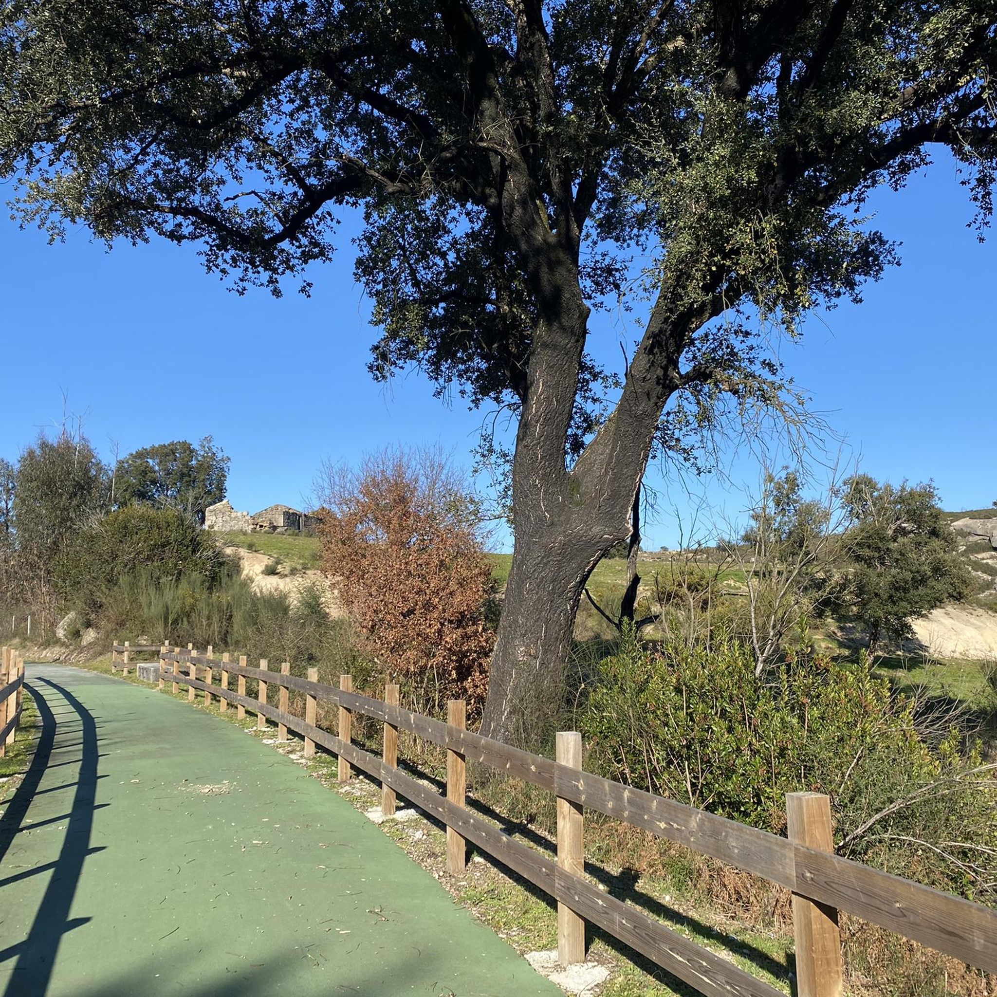
Cycling around Mouraz e Vila Nova da Rainha e Vila Nova da Rainha e Vila Nova da Rainha
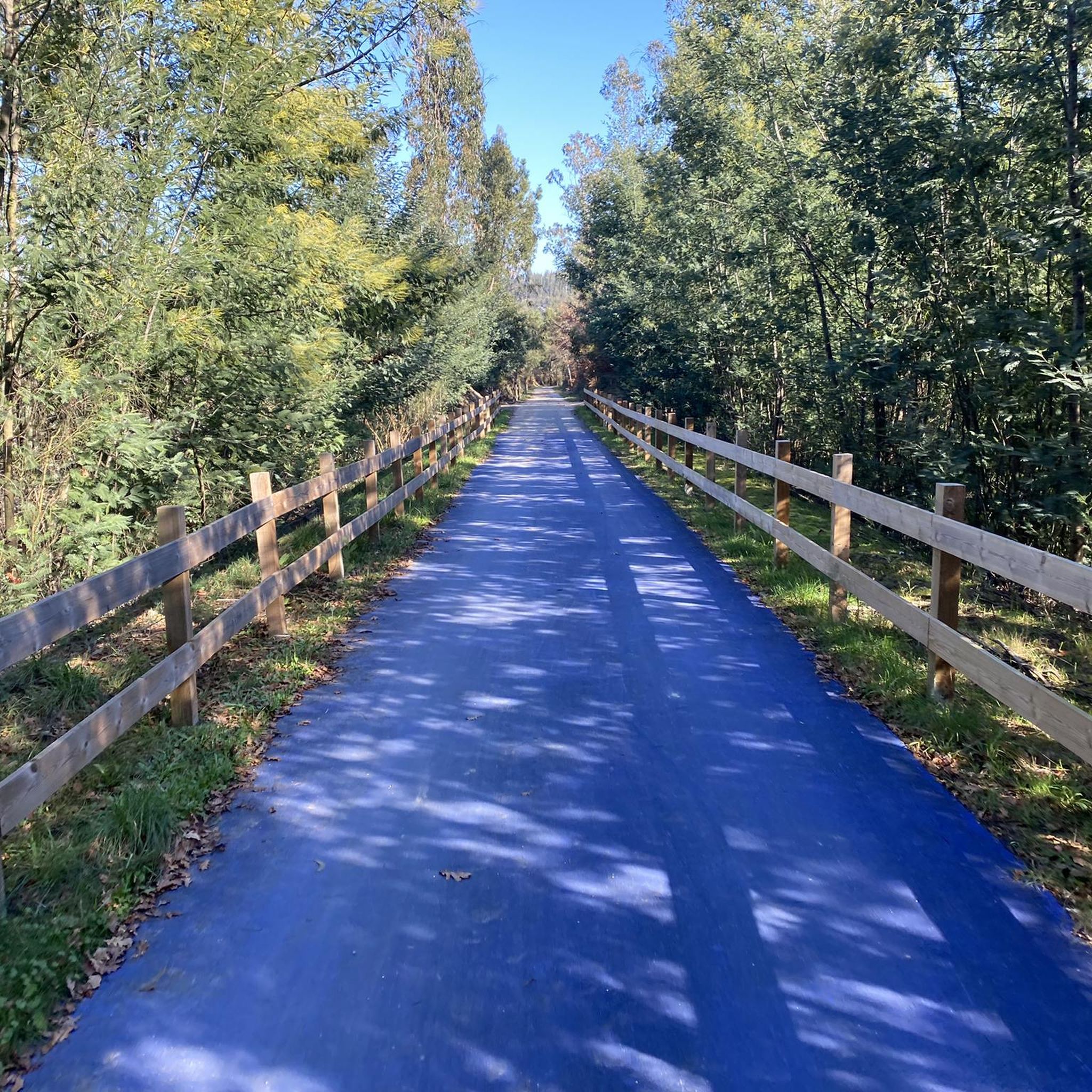
Road Cycling Routes around Mouraz e Vila Nova da Rainha e Vila Nova da Rainha e Vila Nova da Rainha
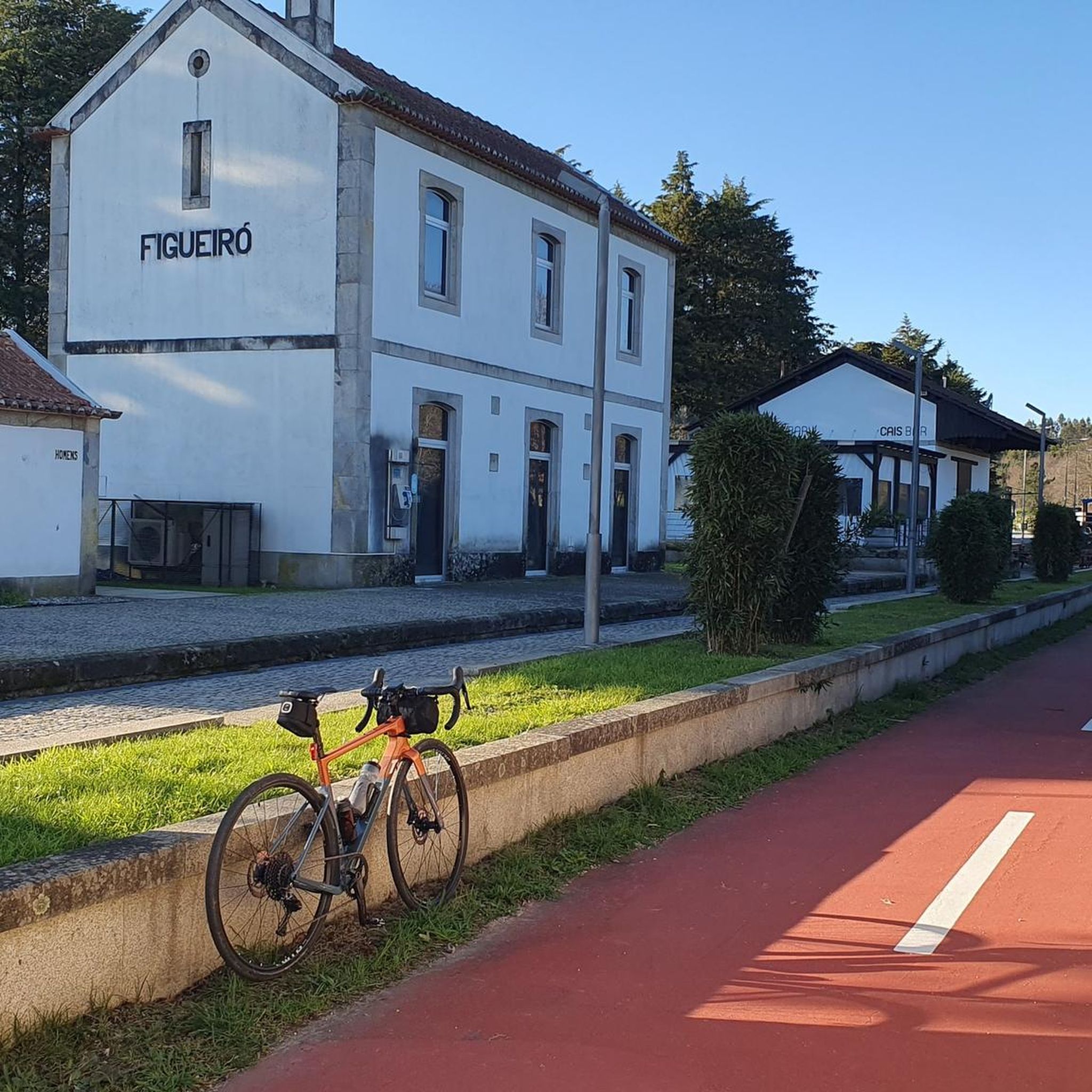
MTB Trails around Mouraz e Vila Nova da Rainha e Vila Nova da Rainha e Vila Nova da Rainha

Running Trails around Mouraz e Vila Nova da Rainha e Vila Nova da Rainha e Vila Nova da Rainha
Tips from the Community

Designated a National Monument since 1974, this structure retains the nine upright stones of its main chamber, which is three meters high, and the capstone (covering slab) practically intact. The access corridor to the chamber has 15 upright stones and preserves all the covering slabs, with the dolmen being inserted into a tumulus (or mound, which originally covered the entire stone structure of the monument) approximately 20 meters in diameter. Its construction is believed to have occurred during the Neolithic-Chalcolithic period (between the end of the Neolithic and the beginning of the Chalcolithic), corresponding to the end of the 4th millennium BC. The region where the Orca Dolmen is located shows traces of continuous human activity and occupation since the prehistoric period. It is situated in an area with orographic characteristics conducive to human settlement, being close to a watercourse (the Mondego River) and possessing vast hunting resources. We know that shepherding has been a source of livelihood and income for centuries for the populations of the region, situated on a livestock route between the highlands of the Serra da Estrela and the Mondego valley.
1
0

This Orca/Anta is part of a tour circuit: PREHISTORIC CIRCUIT OF FIAIS/AZENHA in Carregal do Sal. https://www.cm-carregal.pt/pages/1027?poi_id=129 ORCA/ANTA from PALHEIRA is located in the megalithic nucleus of Fiais/Ameal. It is a monument of considerable size, which can be placed, architecturally, within the large group of monuments of Beira. It has a polygonal chamber with nine pillars, with an elongated corridor. However, its peculiar characteristics make this monument the rarest and most representative example of the circuit, given that at a somewhat later and yet to be determined period, a considerable barn was built around its central structure, which is part of that farm. Thus, the dolmen remained incorporated within it and was used as a dwelling until the 1970s.
2
0
This is a part of the circular route PR1-TND Rota das Laranjais simply wonderful‼️👣👣🇵🇹 Here is the complete information: https://www.trilhosecaminhadas.com/threads/tnd-pr1-rota-dos-laranjais.5604/
2
0
This is a part of the circular route PR1-TND Rota dos Laranjais simply wonderful‼️👣👣🇵🇹 Here is the complete information: https://www.trilhosecaminhadas.com/threads/tnd-pr1-rota-dos-laranjais.5604/
2
0
This is a part of the circular route PR1-TND Rota dis Laranjais simply wonderful‼️👣👣🇵🇹 Here is the complete information: https://www.trilhosecaminhadas.com/threads/tnd-pr1-rota-dos-laranjais.5604/
2
0
This is a part of the circular route PR1-TND Rota dis Laranjais simply wonderful‼️👣👣🇵🇹 Here is the complete information: https://www.trilhosecaminhadas.com/threads/tnd-pr1-rota-dos-laranjais.5604/
2
0
This area is part of the Rota dos Laranjaias PR1 - TND, a wonderful walk‼️ Information here: https://www.trilhosecaminhadas.com/percursos/pr9-rota-da-laje-vis/
2
0

It is one of the largest dolmens in Portugal and one of the best preserved.
3
0
Frequently Asked Questions
How many hiking trails are available in Mouraz e Vila Nova da Rainha?
There are several hiking trails in the Mouraz e Vila Nova da Rainha area, with a total of 6 routes documented on komoot. These trails offer a range of experiences, from moderate to difficult.
What kind of terrain can I expect on hikes in Mouraz e Vila Nova da Rainha?
The terrain in Mouraz e Vila Nova da Rainha is characterized by its distinctive granitic and schist landscapes, Dão vineyards, and stream valleys. You'll encounter varied geological formations, including secular granite and schist terraces, making for diverse and interesting walks.
Are there any circular hiking routes in Mouraz e Vila Nova da Rainha?
Yes, many of the trails in the area are circular routes, perfect for returning to your starting point. An example is the Anta da Palheira – Lapa da Orca Dolmen loop from Oliveira do Conde, which is a moderate 5.4-mile (8.7 km) trail.
Can I find trails with waterfalls in Mouraz e Vila Nova da Rainha?
While the immediate parish is small, the wider Tondela region, which influences the local landscape, is known for natural features like waterfalls. You can explore the Small Waterfall loop from Molelos, or visit the nearby Cascata de Sevilha, a highlight in the region.
Are there any historical or cultural landmarks to see while hiking?
Absolutely. The area is rich in history. You can hike to ancient sites like the Lapa da Orca Dolmen and Anta da Palheira. Another interesting feature is the Dão River Railway Bridge, which is part of the Ecopista do Dão.
What do other hikers say about the trails in Mouraz e Vila Nova da Rainha?
The trails in Mouraz e Vila Nova da Rainha are highly regarded by the komoot community, with an average rating of 4.8 stars from over 10 reviews. Hikers often praise the varied terrain, the beauty of the Dão vineyards, and the tranquil stream valleys.
Are there options for longer distance hikes in the region?
Yes, for those seeking a more challenging and longer adventure, there is the Hiking loop from São João de Areias. This difficult route covers approximately 15 miles (24.2 km) and offers a substantial day out in the landscape.
Are the hiking trails in Mouraz e Vila Nova da Rainha suitable for families?
While there are no trails specifically rated as 'easy' in this guide, many of the moderate routes, such as the River Beach loop from Treixedo e Nagozela, could be suitable for active families. Always check the distance and elevation gain to ensure it matches your family's ability.
What is the best season for hiking in Mouraz e Vila Nova da Rainha?
The region's climate, with its vineyards and streams, suggests that spring and autumn would be ideal for hiking. During these seasons, temperatures are generally mild, and the natural scenery, including the Dão vineyards, is particularly vibrant or colorful.
Are there any viewpoints offering scenic vistas?
Yes, for panoramic views of the surrounding landscape, you can visit the Miradouro do Penedo Cabana. This highlight offers excellent opportunities to appreciate the granitic formations and natural beauty of the area.
Can I find trails that follow rivers or streams?
The region is characterized by stream landscapes. A notable route that explores these features is the Ruins of the Rota dos Laranjais – Ribeira das Laranjeiras Stream loop from Castelões, which takes you along the Ribeira das Laranjeiras Stream.
Are dogs allowed on the hiking trails in Mouraz e Vila Nova da Rainha?
Generally, dogs are welcome on public hiking trails in Portugal, especially in rural areas like Mouraz e Vila Nova da Rainha. However, it's always advisable to keep them on a leash, especially near livestock or in protected natural areas, and to clean up after them.
Most popular routes around Mouraz e Vila Nova da Rainha e Vila Nova da Rainha e Vila Nova da Rainha
Most popular attractions around Mouraz e Vila Nova da Rainha e Vila Nova da Rainha e Vila Nova da Rainha

Get inspired with the komoot mobile app


Explore more
Browse the best Hikes in other regions.
