The best running trails around Vale De Água
5.0
(1)
13
runners
1
run
Jogging routes around Vale de Água offer access to a diverse landscape characterized by natural forests, pine and oak plantations, and a large natural pond. The region is situated near the Natural Park Costa Vicentina, providing varied terrain for running. Trails range from relatively flat paths to more challenging routes through the estate's 55 hectares. Its proximity to the Atlantic coast, approximately 5 km away, also allows for running experiences near beaches like Arrifana and Amoreira.
Best jogging routes around…
Last updated: June 27, 2026
6
runners
15.3km
01:42
180m
180m
Hard run. Very good fitness required. Mostly paved surfaces. Suitable for all skill levels.
3
runners
7.26km
00:51
70m
70m
Moderate run. Good fitness required. Mostly paved surfaces. Suitable for all skill levels.

Sign up for free
5.0
(1)
2
runners
11.4km
01:21
90m
90m
Moderate run. Good fitness required. Mostly paved surfaces. Suitable for all skill levels.
Our route recommendations are based on thousands of hikes, rides, and runs completed by other people on komoot.
Start today with a free account
Your next adventure awaits.
Login or Signup
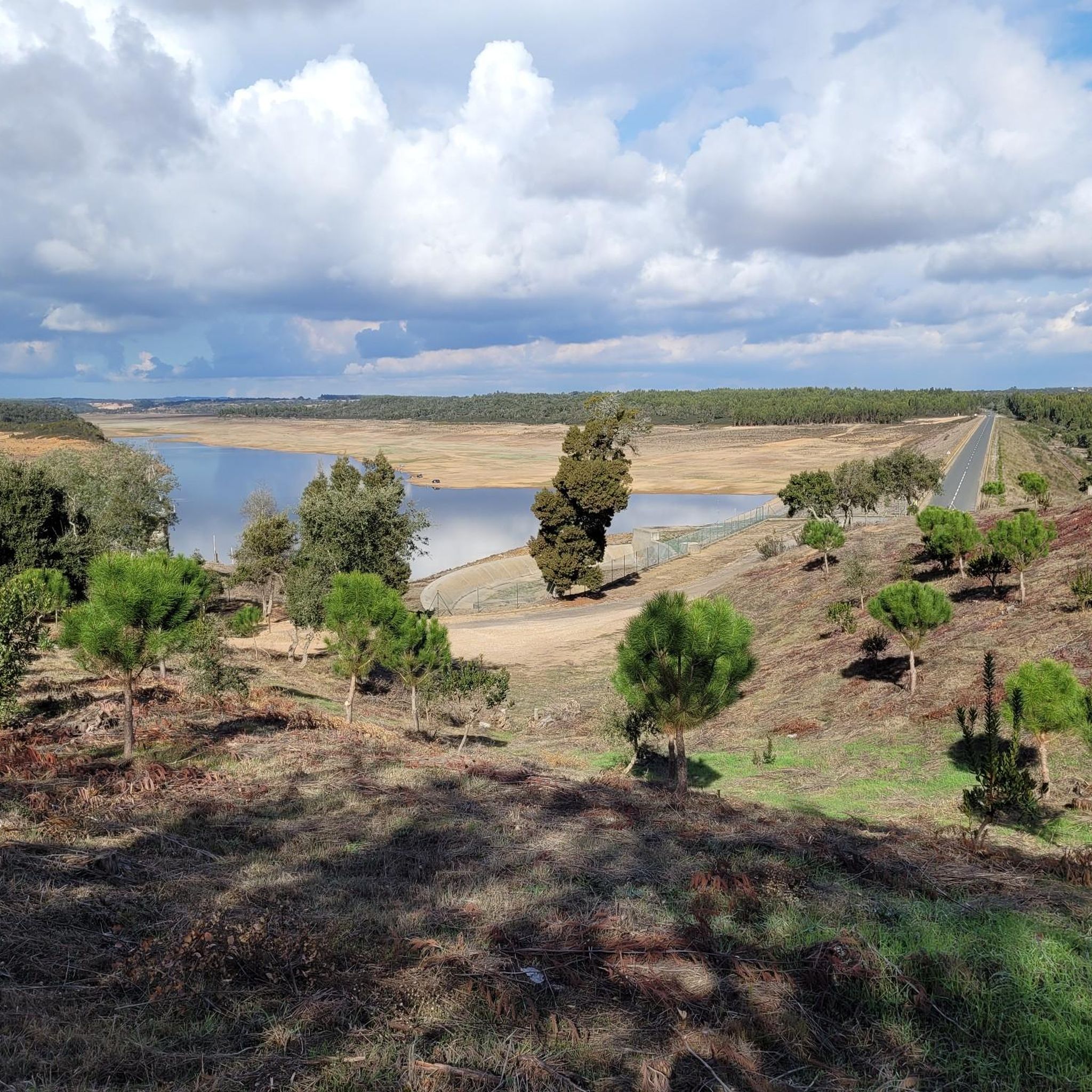
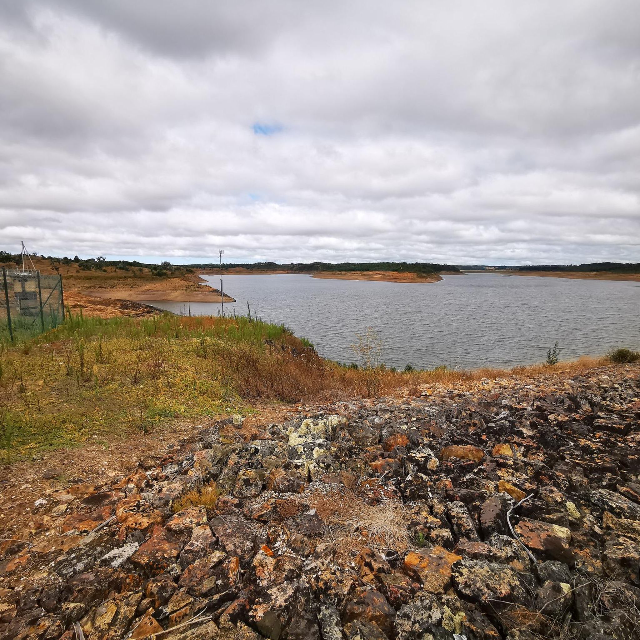
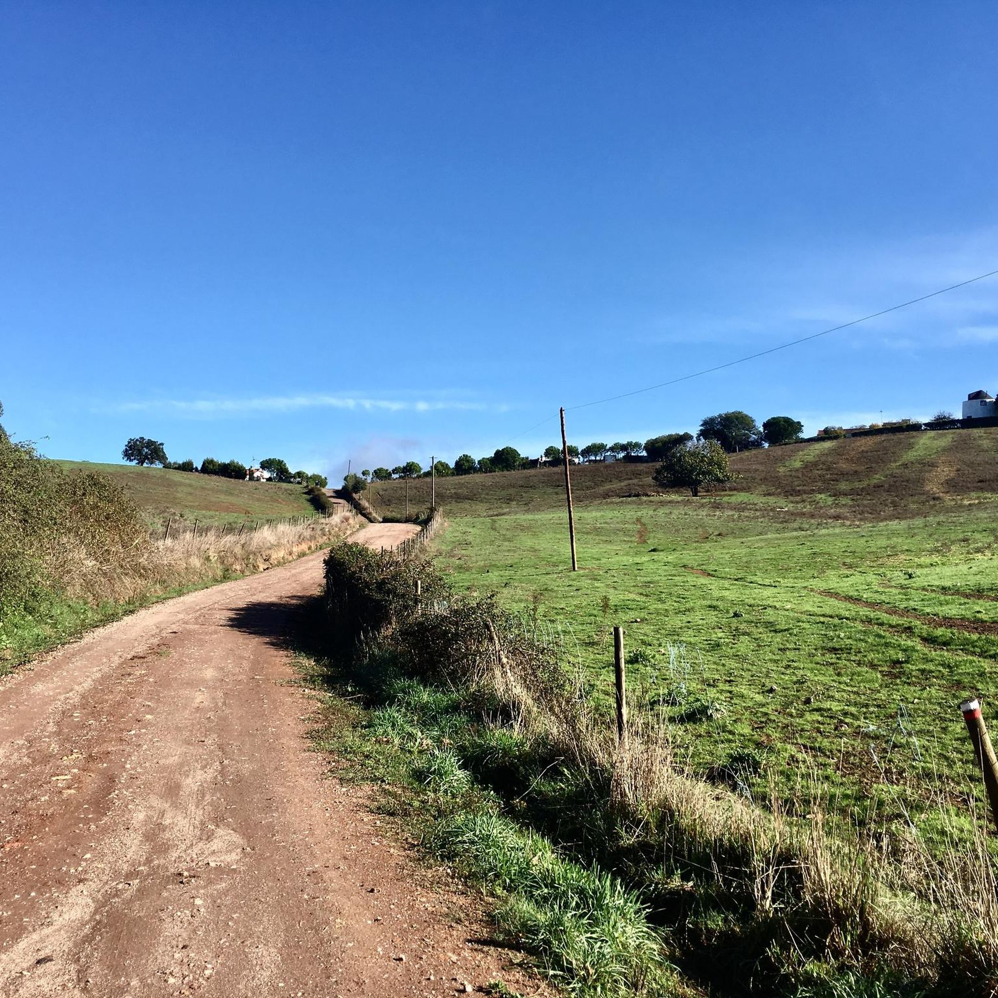
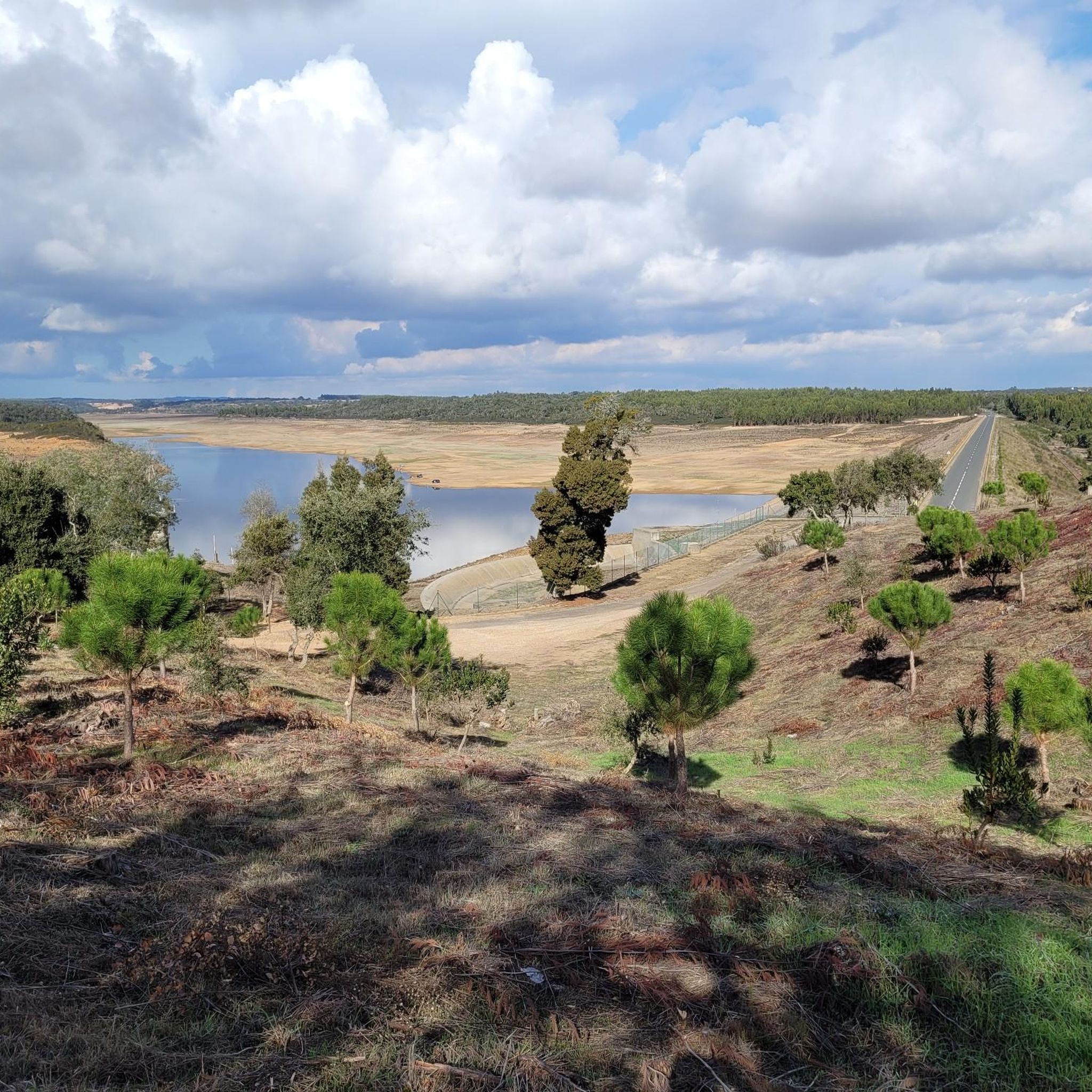
Tips from the Community

Gorgeous bay on the Fisherman's Trail. Strenuous but incredibly rewarding trails in beautiful Portugal 🇵🇹👣
1
1

Wonderful view of the bay. Lots of great views along the beautiful Rota Vincenta.
1
1

Beautiful but steep climb to the top. You are rewarded with a beautiful view over the bay
2
2

View of part of the west coast along the Fisherman's Path
2
2

And always stay on the path!
2
2


One of the typical, beautiful bays on the Rota Vicentina
6
1

Beautiful bay, stage 1 and thus the second section of the Fischerweg starts in the city 😉
9
2
Frequently Asked Questions
How many running trails are available in Vale de Água?
There are several excellent running trails around Vale de Água, offering diverse landscapes for your jog. Our guide highlights three top routes, including coastal paths and inland loops, catering to various preferences and fitness levels.
Are there running routes suitable for beginners in Vale de Água?
Yes, there are options for beginners. The Running loop from Aldeia do Cano is a moderate 7.3 km path, which can typically be completed in about 51 minutes, offering a less strenuous option perfect for those starting out or looking for a relaxed run.
What kind of terrain can I expect on the jogging routes in Vale de Água?
The jogging routes in Vale de Água offer a diverse range of terrain. You can expect paths through natural forests, pine and oak plantations, and around a large natural pond. Given its proximity to the Natural Park Costa Vicentina and the Atlantic coast, some routes also feature coastal sections with breathtaking views.
Are there any challenging running routes in Vale de Água for experienced runners?
Absolutely. For experienced runners seeking a challenge, the Yt loop from Abela is a difficult 15.3 km trail with an elevation gain of over 180 meters, typically taking around 1 hour 41 minutes to complete. This route provides a rewarding workout amidst varied landscapes.
What can I see along the jogging routes in Vale de Água?
While jogging in Vale de Água, you can explore a variety of natural and historical sights. Highlights include the serene Campilhas Reservoir, the historic Ruins of Nossa Senhora do Loreto Convent, and the charming Moinhos do Paneiro. These points of interest add cultural and scenic value to your run.
Are there any coastal running routes near Vale de Água?
Yes, Vale de Água is approximately 5 km from the Atlantic Ocean, offering access to stunning coastal running experiences. The Engardaceira Beach loop from Zambujeira is a 11.4 km trail that leads through beautiful coastal areas, providing refreshing sea breezes and scenic ocean views.
What do other runners enjoy most about jogging in Vale de Água?
The running routes in Vale de Água are highly rated by the komoot community, with an average score of 5.0 stars. Runners frequently praise the diverse terrain, from natural forests to coastal paths, and the tranquil, private setting that allows for an immersive outdoor experience away from crowds.
Is Vale de Água a good place for long-distance running?
Yes, Vale de Água offers routes suitable for long-distance running. The Yt loop from Abela, at 15.3 km, provides a substantial distance for those looking to cover more ground, featuring varied landscapes and elevation changes to keep your run engaging.
Are the running routes in Vale de Água circular?
Yes, the featured running routes in Vale de Água are designed as loops, meaning you will start and finish at the same point. This makes planning your run and logistics, such as parking, much more convenient.
What is the best time of year to go running in Vale de Água?
Given its location near the Costa Vicentina Natural Park and the Atlantic coast, Vale de Água generally offers pleasant running conditions for much of the year. Spring and autumn provide mild temperatures, ideal for outdoor activities. Even in summer, coastal breezes can make morning or late afternoon runs enjoyable, while winter offers cooler, crisp air for invigorating jogs.
Are there any towns or villages near the running routes where I can find amenities?
Vale de Água is situated just 1 km north of Aljezur, a charming town where you can find various amenities such as cafes, restaurants, and shops. This proximity makes it convenient to combine your run with a stop for refreshments or to explore the local culture.
Most popular routes around Vale De Água
Most popular attractions around Vale De Água

Get inspired with the komoot mobile app


Explore more
Browse the best Running Trails & Routes in other regions.
