The best running trails around Gavião e Atalaia e Atalaia e Atalaia
55
runners
7
runs
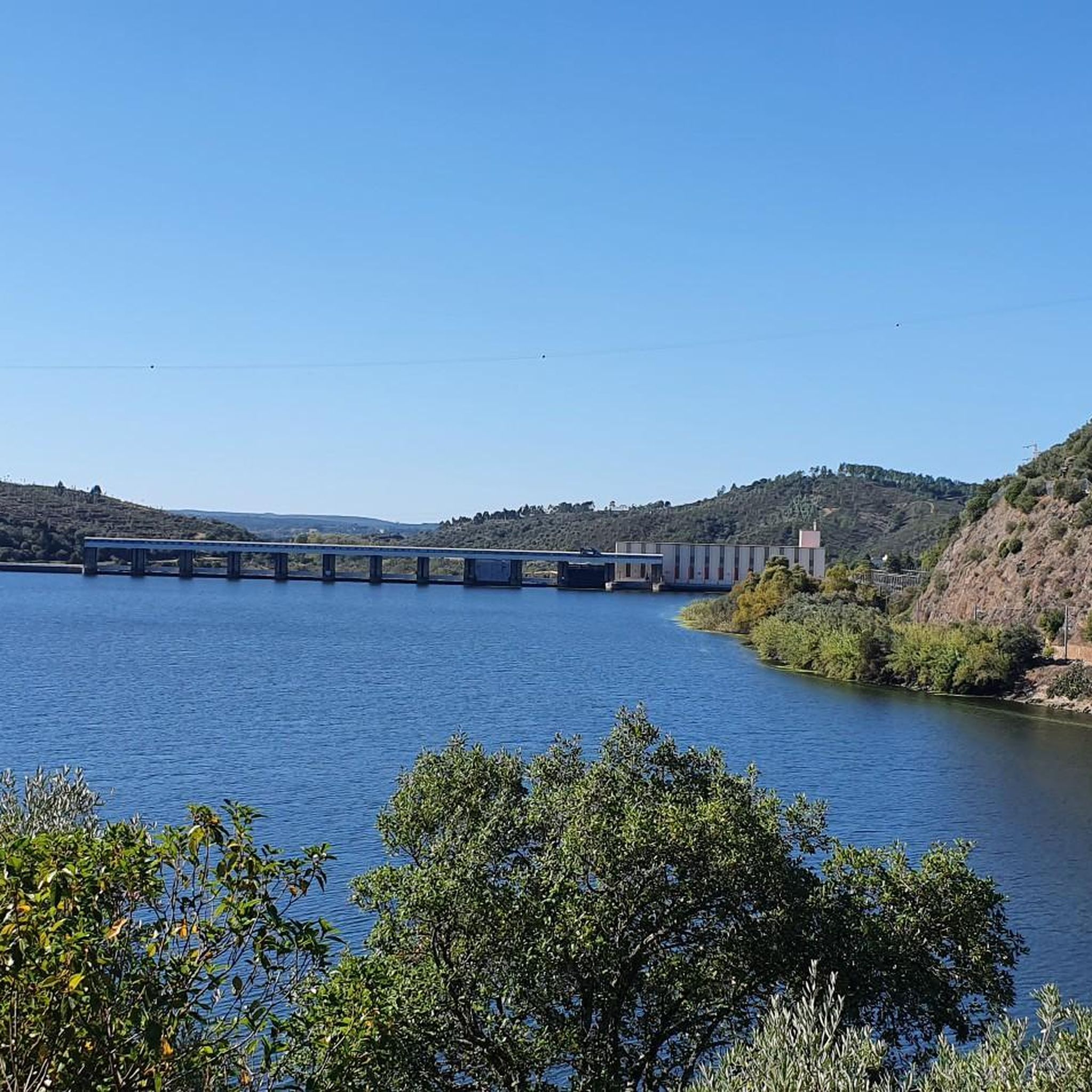
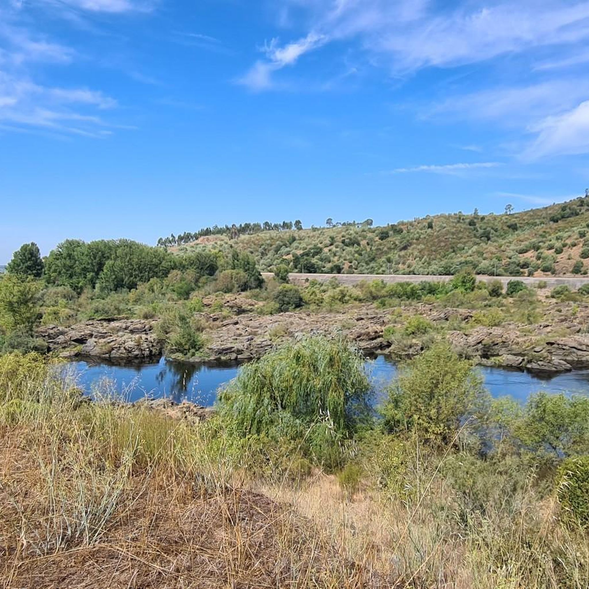
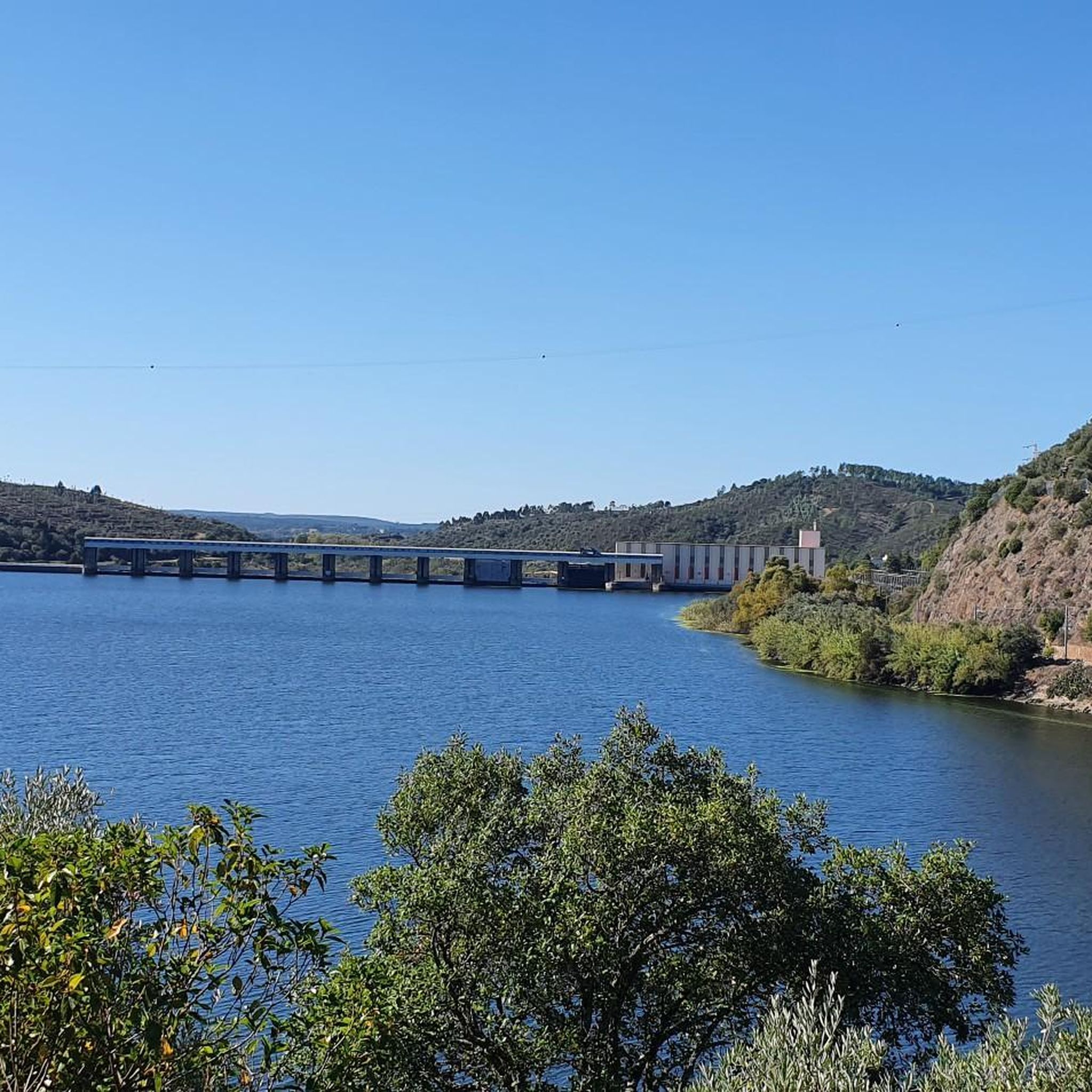
Jogging around Gavião e Atalaia e Atalaia e Atalaia offers a diverse landscape characterized by lush river valleys, serene streams, and access to the Tejo River. The region features rolling green hills and varied topography, providing a compelling setting for outdoor activities. These natural elements create a unique environment for runners to explore, with paths winding through both riverside areas and elevated terrain. The geography is shaped by these water features and historical elements, offering a distinct experience in Portugal.
…Last updated: July 11, 2026
18
runners
29.2km
03:42
530m
530m
Hard run. Very good fitness required. Mostly paved surfaces. Suitable for all skill levels.
4
runners
10.7km
01:16
230m
230m
Moderate run. Good fitness required. Mostly paved surfaces. Suitable for all skill levels.

Sign up for free
5
runners
6.93km
00:45
100m
100m
Moderate run. Good fitness required. Mostly paved surfaces. Suitable for all skill levels.
6
runners
Moderate run. Good fitness required. Mostly paved surfaces. Suitable for all skill levels.
4
runners
11.8km
01:28
230m
230m
Moderate run. Good fitness required. Mostly paved surfaces. Suitable for all skill levels.
Get access to more routes and recommendations from other explorers.
Sign up for free
Already have an account?
Our route recommendations are based on thousands of hikes, rides, and runs completed by other people on komoot.
Start today with a free account
Your next adventure awaits.
Login or Signup
Popular around Gavião e Atalaia e Atalaia e Atalaia
Tips from the Community

The ferry fell victim to the storms in February 2026 and no longer exists (May 2026).
0
0

A curiosity halfway along the trail...
0
0

One of the most beautiful walkways in Portugal and with very original details that are worth visiting, especially in spring!
1
0
Another beautiful swing! But this one is lilac, long and with a beautiful view of the Tagus!
0
0
An extraordinarily beautiful route, with the Tagus always present and lots of entertainment that takes us from Barragem do Fratel to Barca da Amieira, where you can cross the Tagus for free on the boat. It's worth the trip and the hike too!
1
0

The hike is a highlight in Portugal. There is a lot to experience along the way and you can even ride a rail bike here :)
2
0
Frequently Asked Questions
How many running routes are available in the Gavião e Atalaia region?
Based on komoot data, there are 7 dedicated running routes in the Gavião e Atalaia area. These routes offer a range of experiences, from moderate riverside paths to more challenging trails with significant elevation.
Are there any easy or beginner-friendly jogging routes in Gavião e Atalaia?
Yes, the region offers routes suitable for beginners. For instance, the Running loop from Ortiga is a moderate 4.3 miles (6.9 km) trail that takes about 44 minutes to complete, leading through green hills and local countryside. The PR2 GAV "Corredor Ecológico das Ribeiras de Alferreira e Barrocas" also has shorter variants, such as the "Olhos d'Água" (3 km), which are great for easier runs.
What kind of natural scenery can I expect on the running trails around Gavião e Atalaia?
The Gavião e Atalaia region is known for its diverse and unique natural beauty. You'll find lush river valleys, serene streams like the Ribeiras de Alferreireira and Barrocas, and picturesque paths along the majestic Tejo River. The landscape also features rolling green hills and traditional agricultural areas, providing a varied and scenic backdrop for your runs.
Are there any circular running routes available?
Yes, many of the routes in the area are circular, allowing you to start and finish at the same point. A notable example is the Passadiços da Barca d'Amieira loop from Castelo de Amieira, a moderate 6.7 miles (10.7 km) path offering scenic views. The PR2 GAV "Corredor Ecológico das Ribeiras de Alferreira e Barrocas" is also a 19-kilometer circular route starting in Atalaia.
What are some points of interest or landmarks I might see while jogging in the area?
While running, you can encounter several interesting landmarks. The Belver Castle offers breathtaking panoramic views. You might also come across ancient fountains like Fonte Velha, Fonte de Santo António, and Fonte da Lameira, which add historical character to the routes. The Casa da Árvore Viewpoint provides stunning vistas of the railway bridge and the confluence of the Tejo with the Ocreza.
Are there any running routes along the Tejo River?
Absolutely. The area provides excellent access to the Tejo River. The "Passadiços do Alamal" (Alamal Walkways) offer a wooden pathway directly along the river, providing an accessible and scenic route for jogging and leisurely strolls. You can also find riverside paths near the Praia Fluvial do Alamal (Alamal River Beach).
What is the longest or most challenging running route in Gavião e Atalaia?
For those seeking a challenge, the Alto de Carramoio loop from Gavião is the longest and most difficult, spanning 18.1 miles (29.2 km) with significant elevation gain. This route typically takes around 3 hours 42 minutes to complete, offering varied terrain for experienced runners.
Can I find routes that are suitable for families with children?
While specific 'family-friendly' routes aren't explicitly categorized, the shorter variants of the PR2 GAV, such as the 3 km "Olhos d'Água" trail, could be suitable for families looking for an easier walk or jog. The flat and scenic Passadiços da Barca d'Amieira loop from Castelo de Amieira might also be a good option for families, offering pleasant riverside views.
Is there parking available near the jogging trails?
While specific parking locations are not detailed for every route, many trails, especially those starting in towns like Atalaia or near popular spots like Praia Fluvial do Alamal, typically have designated parking areas nearby to accommodate visitors. It's advisable to check the starting points of individual routes for specific parking information.
What do other runners say about jogging in Gavião e Atalaia?
The region is appreciated by the komoot community, with over 50 runners having explored its varied terrain. Users often praise the diverse landscape, which includes lush river valleys, green hills, and paths along the Tejo River, making for a compelling and engaging outdoor experience.
Are there any routes that pass by traditional mills or agricultural areas?
Yes, the PR2 GAV "Corredor Ecológico das Ribeiras de Alferreira e Barrocas" is an excellent choice for this. Along the riverbanks of the Ribeiras de Alferreireira and Barrocas, you can observe traditional agricultural and milling activities, with numerous old mills dotting the landscape, offering a glimpse into the region's rural heritage.
What is the best time of year to go running in Gavião e Atalaia?
Gavião e Atalaia offers pleasant conditions for running for much of the year. Spring and autumn generally provide milder temperatures, making them ideal for longer runs. Summer can be warm, especially midday, so early morning or late afternoon runs are recommended. The lush river valleys and natural features provide a refreshing environment even during warmer periods.
Most popular routes around Gavião e Atalaia e Atalaia e Atalaia
Most popular attractions around Gavião e Atalaia e Atalaia e Atalaia

Get inspired with the komoot mobile app


Explore more
Browse the best Running Trails & Routes in other regions.
