The best gravel rides around Semelhe
26
riders
5
rides
Gravel biking around Semelhe, Portugal, offers routes through a region characterized by diverse landscapes within the Braga municipality. The area features a transitional topography, including mountains, forests, grand valleys, plains, and fields. Rivers such as the Este, Veiga, and Labriosca often create scenic pathways and influence the terrain. This varied environment provides a mix of challenging inclines and picturesque sections suitable for gravel cycling.
Best gravel bike trails around Semelhe
- The most popular gravel bike trail is Barcelos Historic Centre…
Last updated: July 11, 2026
7
riders
84.9km
06:00
1,140m
1,140m
Hard gravel ride. Very good fitness required. Mostly paved surfaces. Suitable for all skill levels.
6
riders
42.3km
03:13
510m
510m
Hard gravel ride. Very good fitness required. Mostly paved surfaces. Suitable for all skill levels.

Sign up for free
7
riders
43.6km
03:13
460m
460m
Hard gravel ride. Very good fitness required. Mostly paved surfaces. Suitable for all skill levels.
3
riders
48.4km
03:46
800m
800m
Hard gravel ride. Very good fitness required. Mostly paved surfaces. Suitable for all skill levels.
3
riders
49.4km
03:27
650m
650m
Hard gravel ride. Very good fitness required. You may need to push your bike for some segments of this route.
Our route recommendations are based on thousands of hikes, rides, and runs completed by other people on komoot.
Start today with a free account
Your next adventure awaits.
Login or Signup
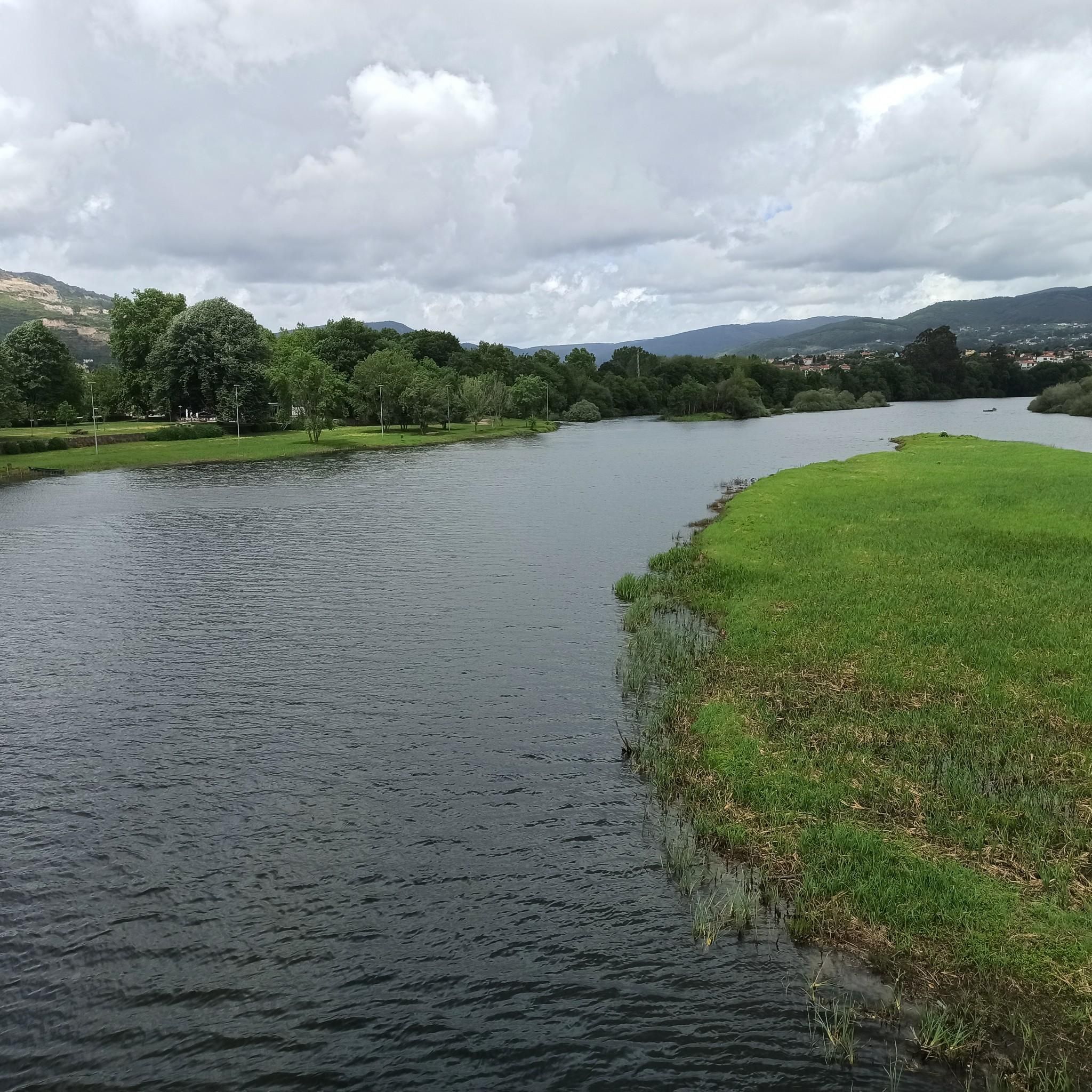
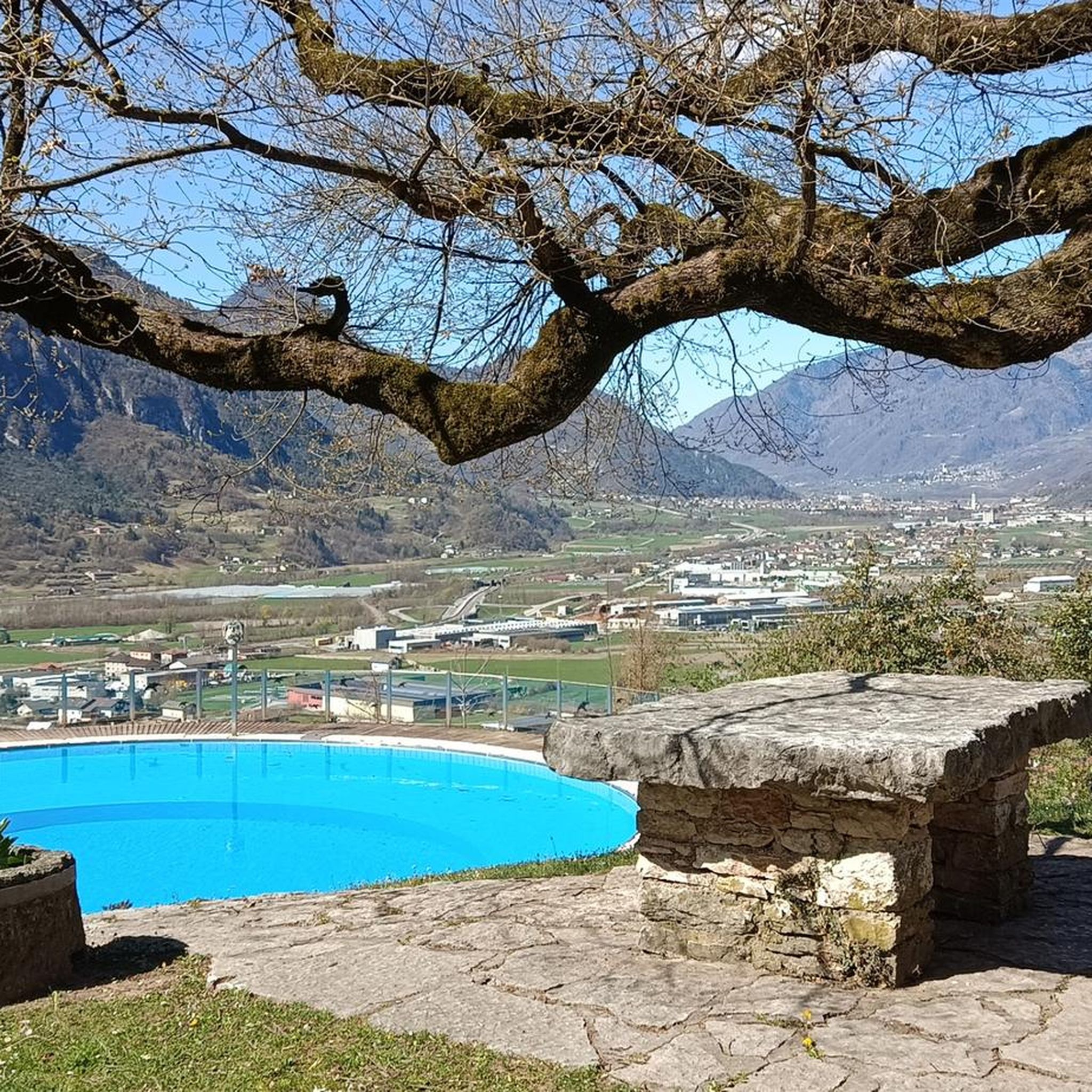



Tips from the Community

The Metal Bridge of Fão (Esposende) Location: It crosses the Cávado River, on National Road 13 (EN13), in the parish of Fão, in Esposende. Alternative Name: It is frequently referred to as the D. Luís Filipe Bridge. History: It is a significant example of iron architecture in Portugal, inaugurated on August 7, 1892. Characteristics: The bridge, which is a Property of Public Interest, has an extensive metal structure and has recently been rehabilitated.
2
0
In Esposende, the main historical bridge that crosses the Cávado River is the Ponte Metálica de Fão, also known locally as Ponte D. Luís Filipe.
2
0
Architecture and Highlights The building is an example of local religious architecture, with a T-shaped floor plan and a single nave, resulting from expansions of the original chancel. Style: Combines Baroque, Rococo, and Neoclassical elements. Facade: The main facade has a gable, flanked by a quadrangular bell tower. The main portal with a segmental arch is topped by an aedicule that houses the image of the patron saint. Interior: The interior, although simple, is well preserved and inviting to prayer, as noted by visitors.
1
0
The Parish Church of Santa Maria de Martim, located in the parish of Martim, in the municipality of Barcelos, is a remarkable religious building with architectural elements ranging from Baroque to Neoclassical.
1
0
The church is open for visitation and prayer most days, with specific times for Masses. Opening Hours: Monday to Sunday: 10:00–12:00 and 15:00–19:30. Mass Times (subject to change, please check the official website): Tuesday: 7:00 PM. Thursday: 7:00 PM. Saturday: 5:30 PM. Sunday: 11:00 AM.
1
0
The church was built in the 14th century in a transitional style between Romanesque and Gothic, on the foundations of an earlier 11th-century church. Main Features: Style: Transitional Gothic and Romanesque, with Renaissance and Baroque additions throughout the centuries. Interior: It has three naves, notably featuring 14 blue and white tile panels that cover much of the walls, dating from the 17th and 18th centuries. Notable Elements: The chancel vault is a Manueline work (early 16th century), and the main façade features a Neo-Gothic rose window, the result of a 20th-century restoration. Heritage: The church houses notable altarpieces and funerary monuments of important families, such as the Pinheiro family. The Parish Church of Santa Maria de Barcelos is a point of historical and architectural interest for tourists and pilgrims traveling the Camino de Santiago.
1
0
The Parish Church of Santa Maria de Barcelos, also known as the Collegiate Church, is the main religious temple in the city of Barcelos and a National Monument of Portugal.
1
0

Frequently Asked Questions
What kind of terrain can I expect on gravel bike trails around Semelhe?
The region around Semelhe, within the Braga municipality, offers a diverse topography. You can expect a mix of mountains, forests, grand valleys, plains, and fields. Routes often feature challenging inclines and picturesque sections alongside rivers like the Este, Veiga, and Labriosca, providing varied landscapes for gravel cycling.
How many gravel bike trails are available in the Semelhe area?
There are currently 5 highly-rated gravel bike trails available around Semelhe on komoot, all offering challenging experiences through the region's varied terrain.
Are there any easy or beginner-friendly gravel bike routes near Semelhe?
The gravel bike routes currently listed around Semelhe are generally considered difficult, featuring significant distances and elevation gains. For example, the Barcelos Historic Centre – Fão Bridge loop from Braga covers 84.7 km with over 1100 meters of elevation. Riders should be prepared for challenging conditions.
What interesting landmarks or attractions can I see near the gravel trails around Semelhe?
While cycling, you'll be in proximity to several notable attractions. These include the iconic Sanctuary of Bom Jesus do Monte, the historic Raio Palace, and the impressive Braga Cathedral (Sé de Braga). These cultural and architectural sites offer interesting stops off the bike.
Are there circular gravel bike routes available in the Semelhe area?
Yes, many of the gravel bike trails around Semelhe are designed as loops. For instance, the Parque Perez – Riverside Path loop from Braga and the Riverside Path – Parque Perez loop from Vila de Prado are popular circular options that allow you to start and finish in the same location.
What is the best time of year to go gravel biking in Semelhe?
The Braga region, where Semelhe is located, experiences a Mediterranean climate. Spring and autumn generally offer the most pleasant temperatures for gravel biking, avoiding the intense heat of summer and the potentially wetter, cooler conditions of winter. This allows for comfortable exploration of the varied landscapes.
Can I find routes that feature riverside sections?
Absolutely. The region's physical geography includes rivers like the Este, Veiga, and Labriosca. Several routes, such as the Parque Perez – Riverside Path loop from Braga, specifically feature scenic riverside sections, offering beautiful views and often flatter terrain alongside the water.
Are there any routes that pass through green spaces or parks?
Yes, the area boasts natural spaces, some of which are integrated with accessible paths. Routes like the Ponte do Porto – Parque Perez loop from Fraião often lead through local parks and green areas, providing a refreshing contrast to more rugged sections.
What are the typical distances and elevation gains for gravel routes around Semelhe?
The gravel routes in this area are generally long and challenging. You can expect distances ranging from approximately 42 km to over 84 km. Elevation gains are also significant, typically between 460 meters and over 1100 meters, requiring good fitness levels.
Is Semelhe well-connected for cyclists using public transport?
Semelhe is a civil parish within the municipality of Braga. While specific public transport links directly to trailheads might vary, Braga itself is a major city in northern Portugal and is well-served by public transport. Cyclists can typically reach Braga by train or bus and then cycle to Semelhe or the starting points of the trails.
Are there options for parking near the gravel bike trails?
Given Semelhe's integration within the broader Braga area, parking facilities are generally available in and around the starting points of popular routes, especially in larger towns or near known attractions. It's advisable to check specific route details for recommended parking spots.
Most popular attractions around Semelhe

Get inspired with the komoot mobile app


Explore more
Browse the best Gravel rides in other regions.
