The best walks and hikes around gmina Zarzecze
4.5
(8)
129
hikers
43
hikes
Hiking around gmina Zarzecze, a rural administrative district in southeastern Poland, offers diverse outdoor experiences within a landscape characterized by varied topography and natural features. The region includes the historic Dzieduszycki Palace and its 9-hectare English-style park, which incorporates the winding Mleczka River and ancient trees. This area provides a tranquil setting for walks, with trails that integrate into broader regional networks. Proximity to nature reserves like Husówka further enhances the hiking opportunities, showcasing unique flora.
Best hiking trails around…
Last updated: August 21, 2026
4.0
(1)
7
hikers
5.19km
01:30
130m
130m
Easy hike. Great for any fitness level. Easily-accessible paths. Suitable for all skill levels.
10
hikers
3.94km
01:13
140m
140m
Easy hike. Great for any fitness level. Easily-accessible paths. Suitable for all skill levels.

Sign up for free
4.0
(1)
13
hikers
6.97km
02:09
260m
260m
Moderate hike. Good fitness required. Easily-accessible paths. Suitable for all skill levels.
10
hikers
1.45km
00:22
0m
0m
Easy hike. Great for any fitness level. Easily-accessible paths. Suitable for all skill levels.
5.0
(3)
4
hikers
4.59km
01:11
20m
20m
Easy hike. Great for any fitness level. Easily-accessible paths. Suitable for all skill levels.
Get access to more routes and recommendations from other explorers.
Sign up for free
Already have an account?
Our route recommendations are based on thousands of hikes, rides, and runs completed by other people on komoot.
Start today with a free account
Your next adventure awaits.
Login or Signup

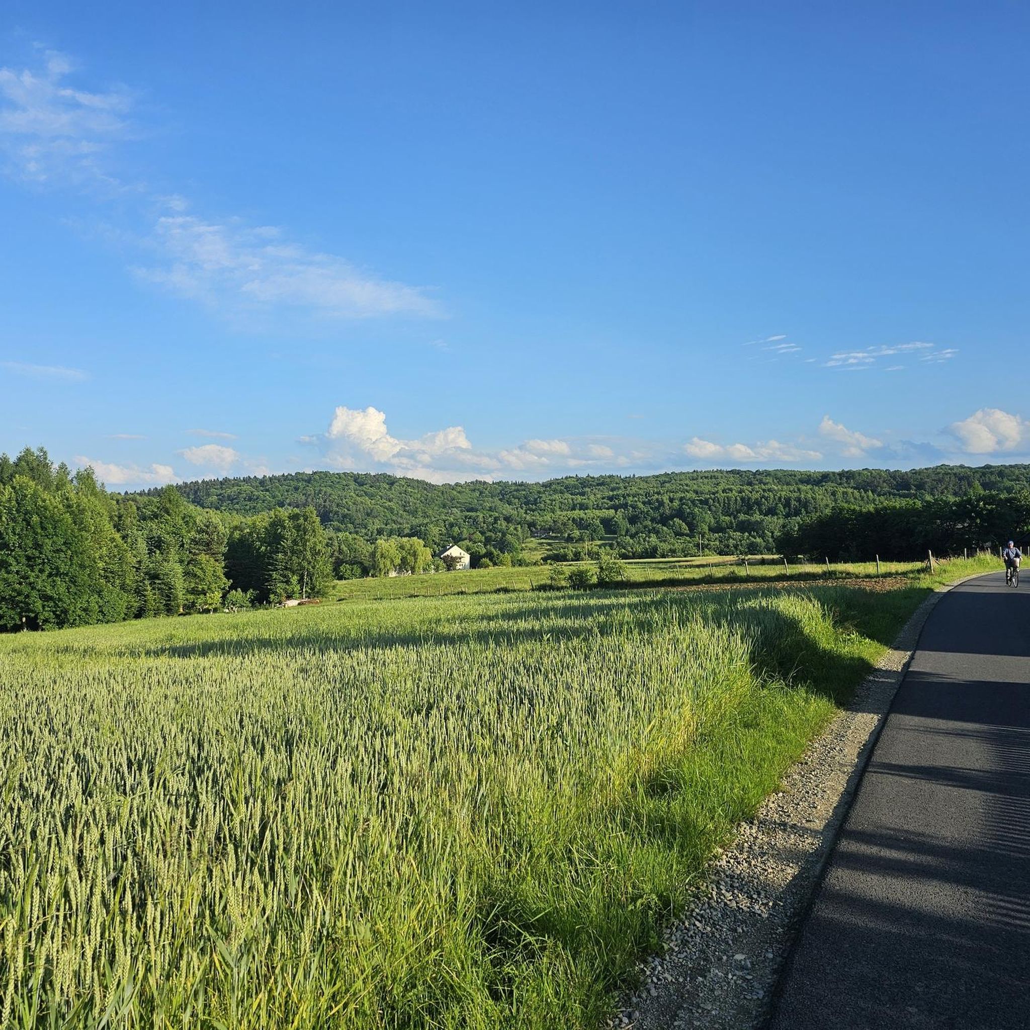

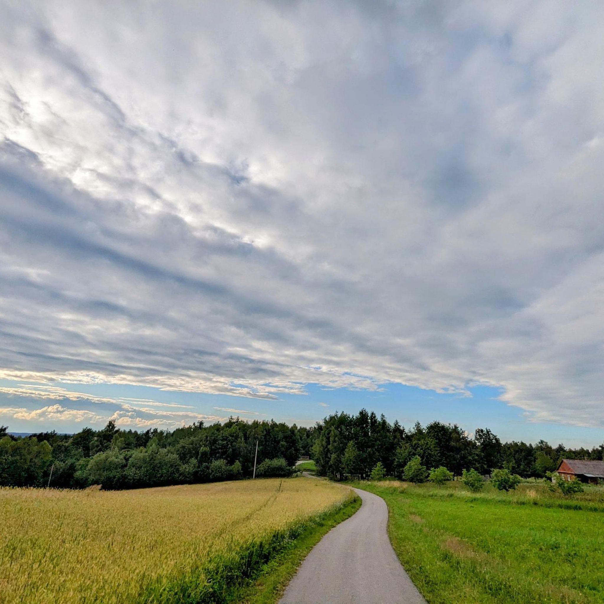
Tips from the Community

A beautiful path around the reservoir.
0
0

The tower in a new version. It makes a really good impression. From the Pruchnik side, along Leśna Street, there is an interesting asphalt driveway, practically right up to the tower. The descent is even better. It is worth visiting this place.
0
0

Pruchnik in Jarosław County has gained a new tourist attraction. In place of the old wooden observation tower, a modern, stable structure was built, located on the top of Iwo Hill. The mountain is 406 meters high, and the tower measures 25 meters to the terrace, with the roof it is 30 meters. At the top there is a glass terrace, the railings of which do not restrict the view - says Krzysztof Łuc, director of the Center for Culture, Sports and Tourism in Pruchnik. There is an electric bike rental at the tower, ideal for exploring the surrounding hiking trails. You can also set off on foot. Source: https://radio.rzeszow.pl/147347/wieza-widokowa-w-pruchniku-przyciaga-turystow/
0
0
Frequently Asked Questions
How many hiking trails are available in gmina Zarzecze?
There are over 20 hiking routes documented in gmina Zarzecze, offering a variety of experiences for different skill levels. These trails explore the region's diverse terrain, historic parks, and river valleys.
What kind of terrain can I expect on hikes in gmina Zarzecze?
Hikes in gmina Zarzecze feature varied terrain, including paths through historic parks like the Dzieduszycki Palace park, which incorporates the winding Mleczka River. You'll find diverse topography, from gentle slopes to more undulating paths, suitable for both leisurely walks and more active hikes.
Are there easy hiking options suitable for beginners or families?
Yes, gmina Zarzecze offers many easy hiking options. For instance, the Taras widokowy loop from Korzenie is an easy 5.2 km trail that takes about 1 hour 30 minutes, providing scenic views. Another gentle option is the Góra Iwa – Taras widokowy loop from Korzenie, a 3.6 km route often completed in about an hour.
What interesting landmarks or natural features can I see along the trails?
The region is rich in natural beauty and historical sites. You can explore the historic Dzieduszycki Palace and its romantic English-style park, featuring ancient trees and the Mleczka River. Some trails also lead to viewpoints, such as the Pruchnik Observation Tower, offering expansive views. The area is also close to the Husówka nature reserve, known for its unique flora like European bladdernut.
Are there any circular hiking routes in gmina Zarzecze?
Yes, many of the trails in gmina Zarzecze are circular, allowing you to start and end at the same point. Examples include the Taras widokowy loop from Korzenie and the Pruchnik Observation Tower loop from Grota Solna, which are popular choices for their convenience and scenic variety.
Can I bring my dog on the hiking trails in gmina Zarzecze?
While specific regulations for dogs on every trail are not detailed, generally, dogs are welcome on many outdoor paths in rural areas of Poland, provided they are kept on a leash and owners clean up after them. It's always advisable to check local signage or specific park rules, especially within nature reserves like Husówka, before bringing your pet.
What do other hikers enjoy most about gmina Zarzecze?
The hiking experiences in gmina Zarzecze are highly regarded by the komoot community, with an average rating of 4.0 stars. Hikers often appreciate the varied terrain, the tranquility of historic parks, and the accessible paths that cater to different ability levels.
Is there public transport available to reach hiking trailheads?
Gmina Zarzecze is a rural administrative district. While a popular hiking route stretches 18 km from Przeworsk to Zarzecze, integrating the gmina into regional networks, direct public transport to specific trailheads might be limited. It's recommended to check local bus schedules or consider personal transport for greater flexibility.
Where can I find parking for hiking trails in gmina Zarzecze?
Parking availability will vary depending on the specific trailhead. For trails starting near villages or attractions like the Dzieduszycki Palace, you may find designated parking areas. For more remote routes, roadside parking might be an option, but always ensure you are parking legally and safely.
Are there any accommodations or cafes near the hiking areas?
As a rural area, gmina Zarzecze may have limited options directly adjacent to every trailhead. However, the main village of Zarzecze and nearby towns like Przeworsk would offer cafes, pubs, and accommodation options. It's a good idea to plan your refreshments and overnight stays in these larger settlements.
What is the best time of year to go hiking in gmina Zarzecze?
The region's natural beauty can be enjoyed throughout much of the year. Spring and autumn offer pleasant temperatures and vibrant scenery, with blooming flora or colorful foliage. Summer is also suitable, though it can be warmer. Winter hiking is possible, but trails may be covered in snow or ice, requiring appropriate gear.
Are there any longer or more challenging hikes available?
Yes, while many trails are easy or moderate, there are options for those seeking a bit more challenge. For example, the Pruchnik Observation Tower loop from Grota Solna is a moderate 7.4 km path with more elevation gain, offering a good workout and rewarding views from the observation tower.
Most popular routes around gmina Zarzecze
Most popular attractions around gmina Zarzecze

Get inspired with the komoot mobile app


Explore more
Browse the best Hikes in other regions.
