The best walks and hikes around gmina Przysucha
4.8
(28)
236
hikers
20
hikes
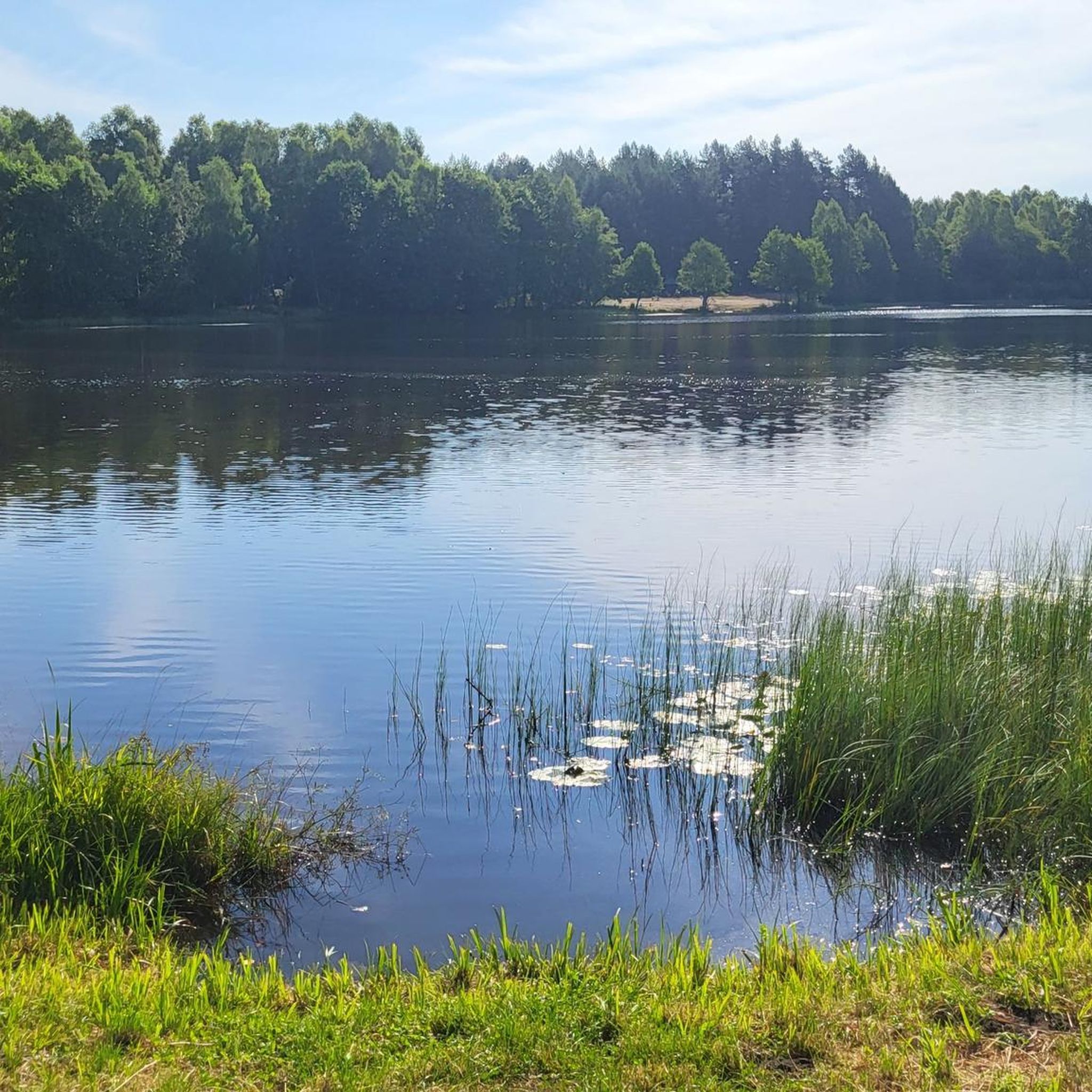
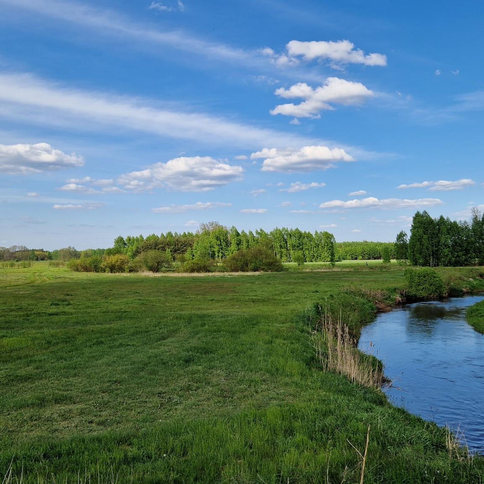
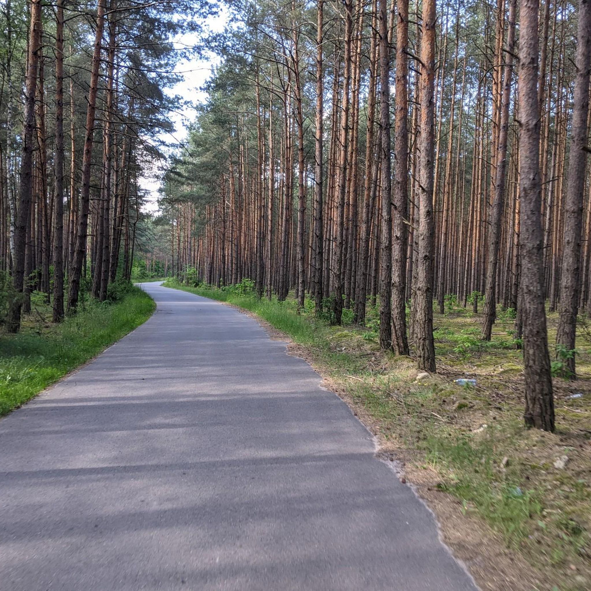
Hiking around gmina Przysucha offers diverse landscapes characterized by extensive forest complexes, such as the Przysuskie Forests, which contain the source of the Radomka River. The region features unique geological formations, including the Skałki Piekło pod Niekłaniem with its distinctive sandstone rocks sculpted by wind erosion. Varied terrain is also provided by the foothills of the Świętokrzyskie Mountains, contributing to a rich outdoor experience.
Best hiking trails around gmina Przysucha
- The most popular hiking route is Gajówka Rawicz Memorial –…
Last updated: July 11, 2026
4.5
(2)
49
hikers
3.94km
01:02
30m
30m
Easy hike. Great for any fitness level. Easily-accessible paths. Suitable for all skill levels.
5.0
(2)
12
hikers
8.79km
02:20
80m
80m
Moderate hike. Good fitness required. Easily-accessible paths. Suitable for all skill levels.

Sign up for free
5.0
(1)
11
hikers
8.46km
02:14
80m
80m
Moderate hike. Good fitness required. Easily-accessible paths. Suitable for all skill levels.
10
hikers
3.44km
00:53
20m
20m
Easy hike. Great for any fitness level. Easily-accessible paths. Suitable for all skill levels.
4.8
(6)
7
hikers
5.65km
01:28
30m
30m
Easy hike. Great for any fitness level. Easily-accessible paths. Suitable for all skill levels.
Get access to more routes and recommendations from other explorers.
Sign up for free
Already have an account?
Our route recommendations are based on thousands of hikes, rides, and runs completed by other people on komoot.
Start today with a free account
Your next adventure awaits.
Login or Signup
Tips from the Community

country bar, nice simple food, good music and friendly service
1
0

Apparently this spring water will give you ability to over perform in bed and last 4 times longer. Legend says it will make you more fertile too. That's what old tales say here
0
0

An inanimate nature reserve in the Konecko-Łopuszniański Protected Landscape Area in the Stąporków commune, in the Konecki district, in the northern part of the Świętokrzyskie province, near the town of Niekłań Wielki. The rocks stretch for about 1 kilometre, their height reaches 8 metres. The Skałki Piekło nature reserve under Niekłaniem is the starting point of the black tourist trail of the black tourist trail leading to the town of Wólka Plebańska. The blue tourist trail from Skarżysko-Kamienna (Pogorzałe) to Kuźniaki passes through the reserve. It is also a point on the Piekielny Szlak.
0
0

The "Skałki Piekło pod Niekłaniem" nature reserve was established on April 1, 1959, in order to preserve, for scientific and didactic reasons, the peculiar forms of sandstone rocks formed by wind erosion and the northern parrot fern (Asplenium Septentrionale) living in rock crevices, on the initiative of Eng. Teodor Zielinski. It is the oldest nature reserve operating in the Stąporków Forest District.
2
0

The reserve was established in 1959 to preserve peculiar rock forms. The rocks in question were carved thanks to erosive processes in the Triassic and Lower Jurassic sandstones. Thanks to this, they stand out beautifully with yellow and orange, but also with a dark color against the green of the forest. At a length of several hundred meters, the rocks form two separate clusters. Following the blue trail from the parking lot, first we reach lower and darker rock formations, then we reach more colorful and magnificent, up to 8 m high inselbergs. These are rocks with extremely unusual shapes, such as mushrooms, chimneys, pulpits (pulpit), or… what your imagination will tell you.
4
0

One of the three named rock forms of the "Skałki Piekło pod Niekłaniem" reserve. "Jama Agi" delights with its oval "window", carved by water during the arduous process of erosion. It is one of the most beautiful rock forms of the reserve, reaching up to 7 meters, formed in Jurassic sandstone, dating back 200 million years. "Jama Agi" is also a dark and dry cave, about 8 meters long, forming a single corridor.
0
0
One of the three named rock forms of the "Skałki Piekło pod Niekłaniem" reserve. "Tomkowa Dziura" is a form of Jurassic sandstone, beautifully carved by wind and water, 200 million years old, ranging in color from yellow to dark brown. "Tomkowa Dziura" is also a dark and dry cave, approx. 8 meters long and three caves 1.5 - 2 meters high.
0
0
One of the three named rock forms of the "Skałki Piekło pod Niekłaniem" reserve. "Sympozjalne Shelter" has the shape of a broken rock table, which was torn off the rest of the rock block due to erosion, creating a niche. A beautiful rock form of Jurassic sandstone that is over 200 million years old, with numerous rock shelves in which ferns grow in an interesting way, reaching a height of 7 meters.
0
0
Frequently Asked Questions
What types of landscapes can I expect to see while hiking in gmina Przysucha?
Gmina Przysucha is characterized by extensive forest complexes, notably the Przysuskie Forests, which are part of the Garb Gielniowski and contain the source of the Radomka River. You'll also encounter unique geological formations like the Skałki Piekło pod Niekłaniem, featuring distinctive sandstone rocks, and the varied terrain of the Świętokrzyskie Mountains foothills.
Are there any easy hiking trails suitable for beginners or casual walkers?
Yes, gmina Przysucha offers several easy trails. For a shorter, accessible walk, consider the Zalew w Jagodnie loop from Słowików, which is about 3.4 km. Another easy option is the 18th-Century Synagogue loop from Przysucha, offering a mix of nature and cultural interest over 7.2 km.
What are some notable natural features or landmarks to look out for on the trails?
The region is rich in natural and historical points of interest. You can explore the unique sandstone formations at Aga's Cave — Piekło pod Niekłaniem rock formations or the Tomkowa Dziura rock formations. The Spring in Niekłań Wielki is another beautiful natural monument, and you might also find the Teodor Zieliński Memorial Boulder of interest.
Are there any circular hiking routes available in gmina Przysucha?
Many of the trails in gmina Przysucha are designed as loops, allowing you to start and end at the same point. Examples include the Gajówka Rawicz Memorial – Przysucha Sandstone Rocks loop from Przysucha, which is a moderate 9.7 km route, and the Spring in Niekłań Wielki loop from Niekłań Wielki, a moderate 8.8 km trail.
What do other hikers say about the trails in gmina Przysucha?
The trails in gmina Przysucha are highly rated by the komoot community, with an average score of 4.5 stars from over 17 reviews. Hikers often praise the quiet woodlands, the unique geological features like the sandstone rocks, and the well-maintained paths that offer a refreshing outdoor experience.
How many hiking routes are there in gmina Przysucha?
There are 12 hiking routes available in gmina Przysucha, offering a variety of options for different preferences and fitness levels. These include 6 easy trails and 6 moderate trails.
Are there any trails that combine natural beauty with historical or cultural sites?
Yes, the 18th-Century Synagogue loop from Przysucha is an excellent choice. This easy 7.2 km route takes you through the town of Przysucha, allowing you to experience both the natural surroundings and local cultural heritage.
What is the longest moderate hike I can do in gmina Przysucha?
The longest moderate hike is the Gajówka Rawicz Memorial – Przysucha Sandstone Rocks loop from Przysucha, covering approximately 9.7 km. This route offers some elevation gain and explores the interesting Przysucha Sandstone Rocks.
Are there any specific nature reserves or protected areas I can hike through?
Yes, within the Przysuskie Forests, you can find the Puszcza u źródeł Radomki Nature Reserve, which offers protected natural environments. Additionally, the Skałki Piekło pod Niekłaniem is a non-living nature reserve established to preserve its distinctive sandstone rock formations, with hiking trails traversing the area.
What kind of terrain should I expect on the hiking trails?
The terrain in gmina Przysucha is varied. You'll primarily encounter paths through extensive forests, alongside river valleys, and around fish ponds. Some routes, particularly those near the Skałki Przysuskie and Skałki Piekło pod Niekłaniem, will feature interesting sandstone rock formations and may include some elevation changes due to the foothills of the Świętokrzyskie Mountains.
Can I find trails that lead to water sources or rivers?
Yes, the region is known for its river systems, including the Radomka and Wiązownica rivers, and numerous fish ponds. Trails like the Spring in Niekłań Wielki loop from Niekłań Wielki lead to natural water features, offering picturesque views and a refreshing experience.
Most popular routes around gmina Przysucha
Most popular attractions around gmina Przysucha

Get inspired with the komoot mobile app


Explore more
Browse the best Hikes in other regions.
