The best walks and hikes around gmina Łopiennik Górny
4.3
(64)
99
hikers
17
hikes
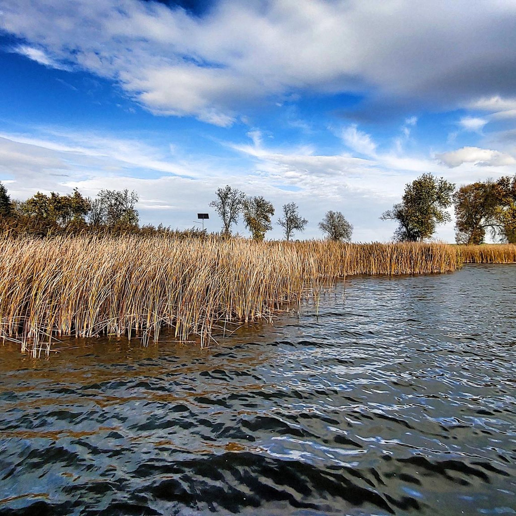
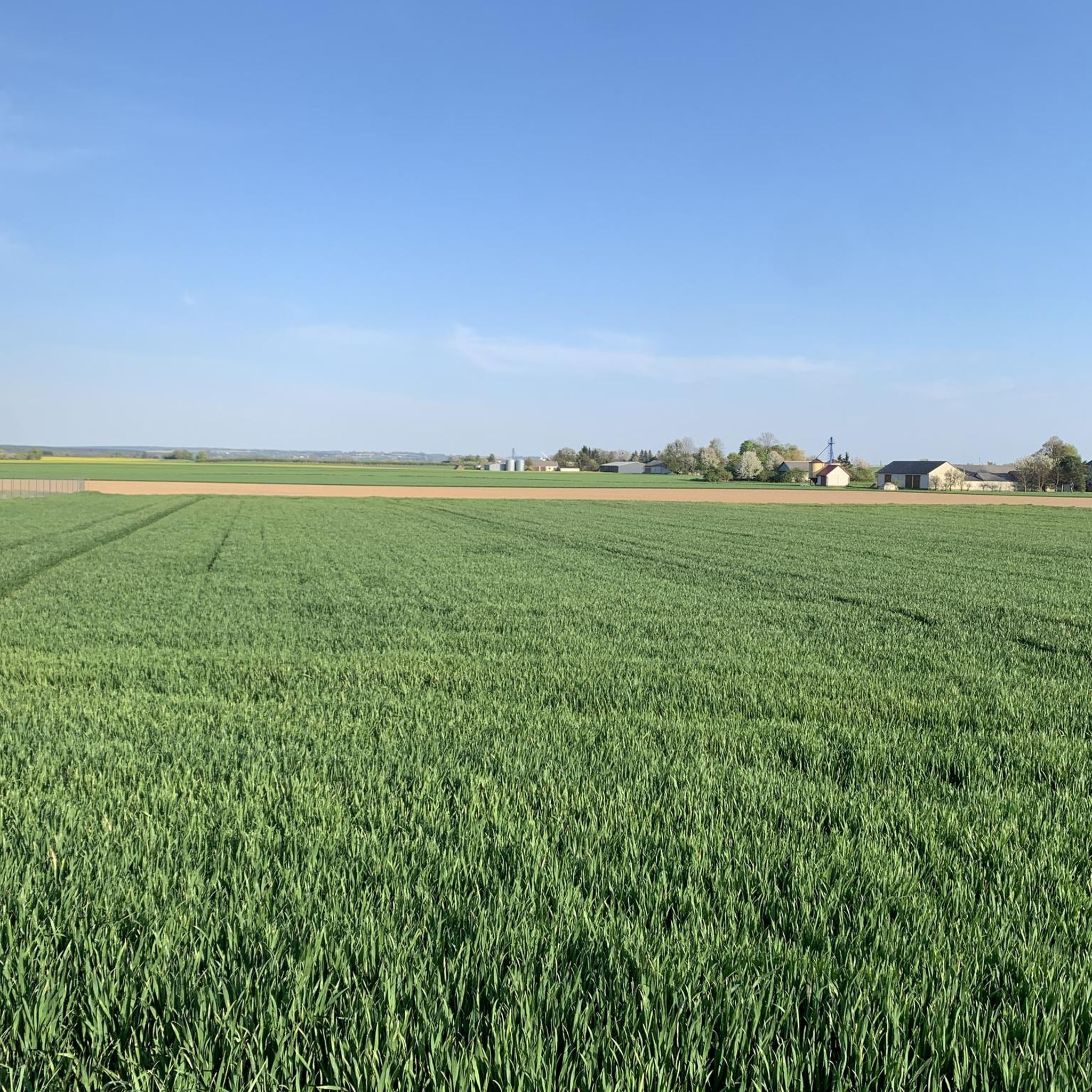
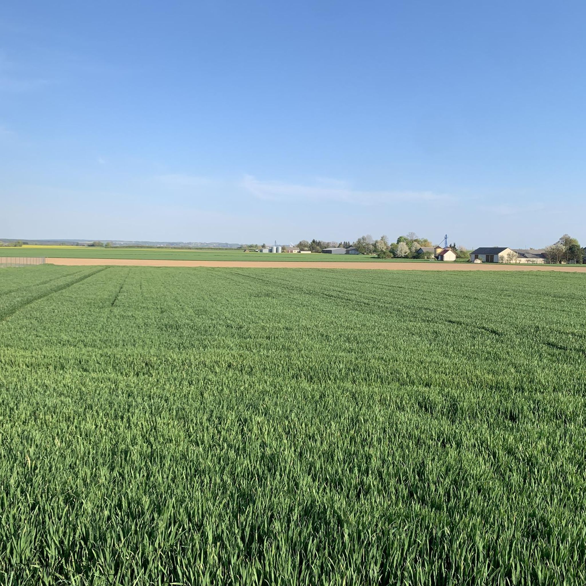
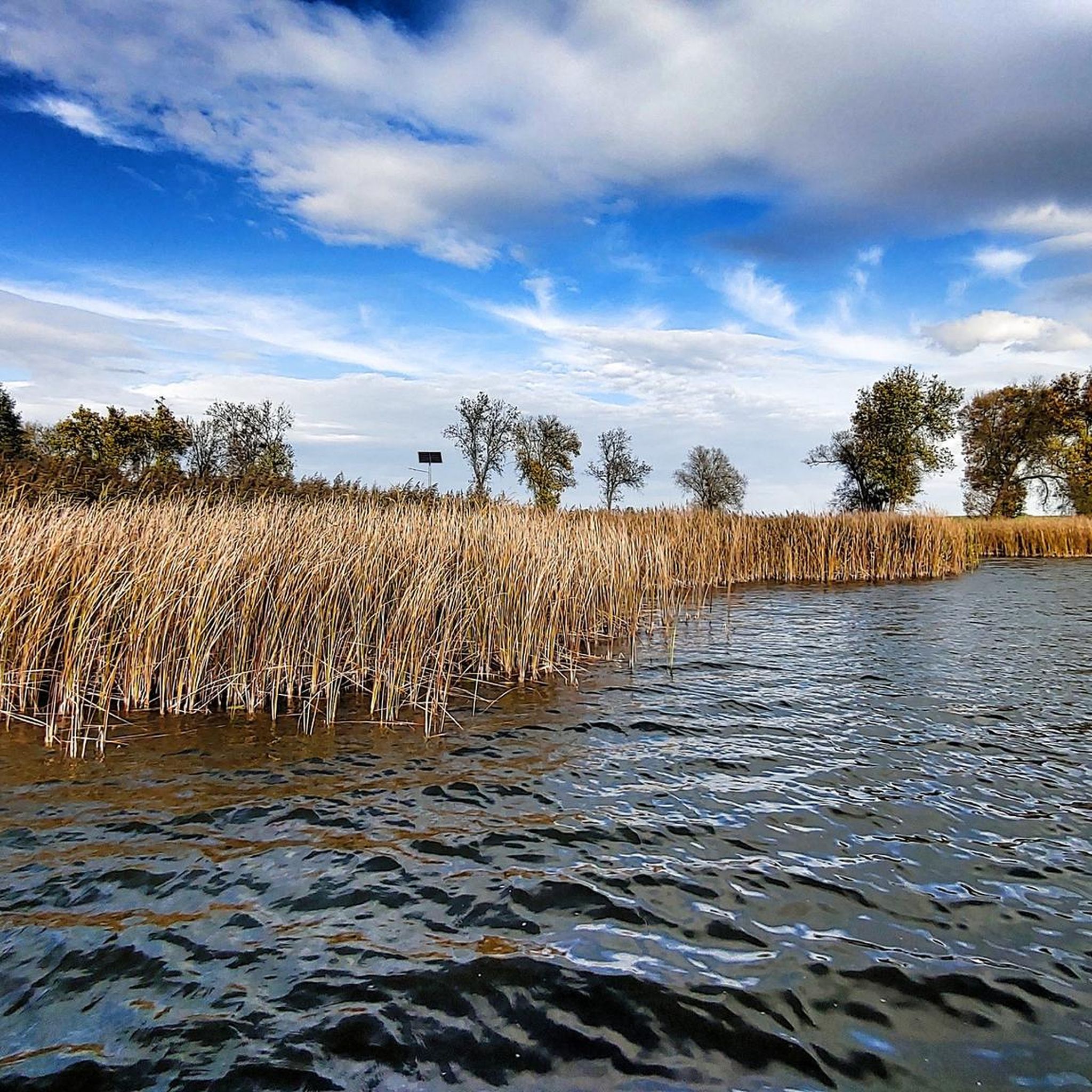
Hiking trails around Gmina Łopiennik Górny are situated in the Lublin Voivodeship, characterized by the Giełczewska Heights and the Wieprz River valley. The terrain features numerous hills, deeply cut ravines, and dense forests, providing varied landscapes for outdoor activities. The Wodny Dół Nature Reserve, a key area, protects unique erosion cuts and gorges. The region's natural features offer diverse conditions for hiking.
Best hiking trails around gmina Łopiennik Górny
- The most popular hiking route is Water Reserve Dół (loop from…
Last updated: October 14, 2026
4.9
(9)
33
hikers
4.40km
01:13
80m
80m
Easy hike. Great for any fitness level. Easily-accessible paths. Suitable for all skill levels.
4.5
(4)
15
hikers
8.62km
02:19
110m
110m
Moderate hike. Good fitness required. Easily-accessible paths. Suitable for all skill levels.

4.1
(23)
10
hikers
7.00km
01:47
20m
20m
Easy hike. Great for any fitness level. Easily-accessible paths. Suitable for all skill levels.
4.0
(19)
10
hikers
8.15km
02:06
30m
30m
Moderate hike. Good fitness required. Easily-accessible paths. Suitable for all skill levels.
4.3
(3)
14
hikers
9.65km
02:34
100m
100m
Moderate hike. Good fitness required. Easily-accessible paths. Suitable for all skill levels.
Get access to more routes and recommendations from other explorers.
Already have an account?
Our route recommendations are based on thousands of hikes, rides, and runs completed by other people on komoot.
Start today with a free account
Your next adventure awaits.
Tips from the Community

Church of St. Francis Xavier in Krasnystaw.
0
0

The Wodny Dół nature reserve is located in the Krasnystaw commune, in the Lublin Voivodeship. It was established in 1995 to protect the special landscape of the Giełczewska Heights, including picturesque erosion cuts covered with forest with rare and protected plants. In addition to the beautiful, dense forest, we will also see deep gorges that cannot be envied by those in Kazimierz. In addition, they are less known, so you won't encounter crowds here. A place really worth recommending. At the tourist shelter on the Jaślikowo side there is a map with designated routes and information boards.
3
0
Near Jaślikowo (near Krasnystaw) there is the Dół Water Reserve. You can park here, there is a shelter available and a map of the area with designated paths in various lengths. A place worth recommending and little known even among the inhabitants of the Lublin region.
2
0

Krasnystaw. Church of St. Francis Ksawery designed by Jan Delamars, built at the turn of the 17th and 18th centuries. Recently, during renovation works, rich decorations on the front façade were discovered. The polychromes were uncovered and restored.
0
0

A perfect example of the benefits of preserving trees during renovation - shade, beautiful. Congratulations!
0
1

Apparently, the illuminated fountain looks great at night.
0
0
Church of St. Franciszek Ksawery in Krasnystaw, It was built in the years 1695-1717 as a temple of the Jesuit order (the founder was Krystyna Potocka née Lubomirska)
1
0

beautiful route in a gorge, attention route for hikers
0
0
Frequently Asked Questions
How many hiking trails are available in Gmina Łopiennik Górny?
Gmina Łopiennik Górny offers a selection of hiking trails, with over 8 routes documented on komoot. These range from easy walks to more moderate excursions, providing options for various fitness levels.
What kind of terrain can I expect when hiking in Gmina Łopiennik Górny?
The terrain in Gmina Łopiennik Górny is diverse, characterized by the picturesque Giełczewska Heights and the serene Wieprz River valley. You'll encounter numerous hills, deeply cut ravines, and dense forests, especially within the Wodny Dół Nature Reserve, which features unique erosion cuts and gorges.
Are there any easy or family-friendly hiking options in the area?
Yes, Gmina Łopiennik Górny has several easy routes suitable for families. For instance, the Water Reserve Dół (loop from Jaślikowa) is an easy 4.4 km trail that explores the unique landscape of the Wodny Dół Nature Reserve. The reserve itself offers a 1.6 km route specifically designed for younger children, traversing a scenic gorge.
Can I bring my dog on the hiking trails in Gmina Łopiennik Górny?
While the region's natural beauty is inviting, specific dog policies for the Wodny Dół Nature Reserve are not explicitly detailed. It's generally advisable to keep dogs on a leash and ensure they do not disturb wildlife or other hikers. For trails outside the reserve, local regulations may vary, so always be prepared to keep your dog under control.
Are there any circular hiking routes available?
Yes, many of the popular routes in Gmina Łopiennik Górny are circular. Examples include the easy Water Reserve Dół (loop from Jaślikowa), and the moderate Wodny Dół Nature Reserve – Shelter loop from Niemienice-Kolonia, which is 8.4 km long.
What are the main natural attractions or landmarks I can see while hiking?
The primary natural attraction is the Wodny Dół Nature Reserve, known for its picturesque erosion cuts, deep gorges, and dense forests. The Wieprz River valley also offers scenic views, with its broad valleys, meanders, and oxbow lakes. You can also explore the Gravel Path Along the Wieprz and Żółkiewka Rivers for a different perspective of the riverine landscape.
Is there public transport available to reach the hiking areas, especially the Wodny Dół Nature Reserve?
Information on direct public transport routes specifically to the Wodny Dół Nature Reserve or within Gmina Łopiennik Górny is limited. Visitors typically rely on personal vehicles to access trailheads. It's recommended to check local bus schedules for connections to nearby towns like Krasnystaw and then arrange for onward travel.
Where can I park my car when visiting the Wodny Dół Nature Reserve?
The Wodny Dół Nature Reserve has a tourist shelter on the Jaślikowo side, which is a common starting point for trails. Parking facilities are typically available near such entry points, though specific details on capacity or fees are not provided. It's advisable to look for designated parking areas upon arrival.
What is the best time of year to go hiking in Gmina Łopiennik Górny?
The region is beautiful year-round, but spring and autumn offer particularly pleasant conditions for hiking. Spring brings blooming flora, including rare species like the spring pasqueflower in the Wodny Dół Nature Reserve, while autumn showcases vibrant foliage. Summer is also suitable, though temperatures can be warmer. Winter hiking is possible, but trails may be covered in snow or ice.
Are there any specific regulations or permits required for hiking in the Wodny Dół Nature Reserve?
The Wodny Dół Nature Reserve is a protected area. While general hiking on marked trails is usually permitted, it's always good practice to stay on designated paths, respect wildlife, and avoid disturbing the natural environment. No specific permits for hiking are mentioned, but for detailed regulations, you can refer to information provided by the local authorities or the reserve management, such as the Krasnystaw commune website: krasnystaw.ug.gov.pl.
What do other hikers say about their experience in Gmina Łopiennik Górny?
The hiking routes in Gmina Łopiennik Górny are highly rated by the komoot community, with an average score of 4.5 stars from over 30 reviews. Hikers often praise the quiet woodlands, the unique geological formations of the Giełczewska Heights, and the peaceful atmosphere of the Wieprz River valley.
Beyond the Wodny Dół Nature Reserve, are there other places to explore?
Absolutely. While the Wodny Dół Nature Reserve is a highlight, the broader Gmina Łopiennik Górny region offers diverse landscapes. You can explore the tranquil areas along the Wieprz River, which are ideal for peaceful walks amidst meadows and natural habitats. Additionally, routes like 3 Maja Square loop from Krasnystaw Miasto offer a blend of natural scenery and proximity to local towns.
Are there any cultural or historical sites near the hiking trails?
Yes, while primarily known for its natural beauty, the region also has cultural points of interest. You can find historical monuments such as the Neo-Gothic church of St. Bartholomew in Łopiennik Nadrzeczny, or the wooden church of the Transfiguration of the Lord in Borowica. In nearby Krasnystaw, the St. Francis Xavier Church is also a notable landmark.
Most popular routes around gmina Łopiennik Górny
Most popular attractions around gmina Łopiennik Górny

Get inspired with the komoot mobile app


Explore more
Browse the best Hikes in other regions.
